Arnprior Glen

Valley in Perthshire

Scotland

Arnprior Glen

Ladylands Farm buildings on the edge of Flanders Moss - a vast bog, much of which was cleared away revealing good agricultural land.
Ladylands Credit: Richard Webb

Arnprior Glen is a picturesque valley located in Perthshire, Scotland. The glen is known for its stunning natural beauty, with rolling hills, lush greenery, and the meandering River Arnprior running through it. The valley is surrounded by dense forests and is home to a variety of wildlife, making it a popular spot for nature enthusiasts and hikers.

Arnprior Glen also has a rich history, with evidence of ancient settlements dating back thousands of years. The area is dotted with prehistoric ruins and standing stones, providing insight into the lives of the people who once inhabited the valley.

Visitors to Arnprior Glen can enjoy a range of outdoor activities, such as hiking, bird-watching, and fishing in the river. The valley is also a great place for picnicking and taking in the serene surroundings.

Overall, Arnprior Glen is a tranquil and scenic destination in Perthshire, offering a peaceful escape from the hustle and bustle of everyday life.

If you have any feedback on the listing, please let us know in the comments section below.

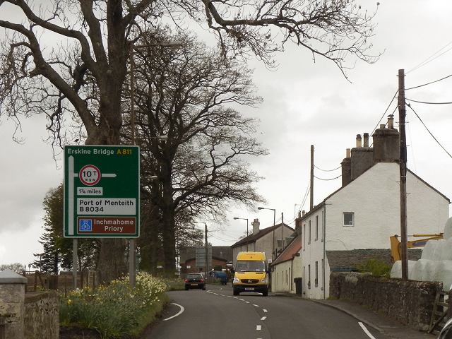
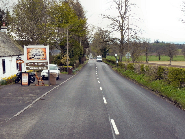
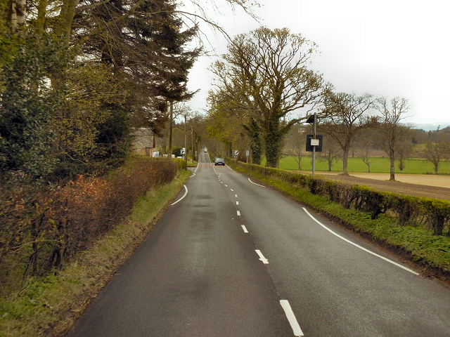
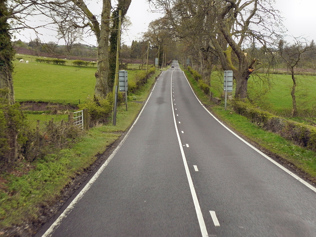
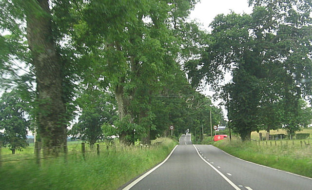
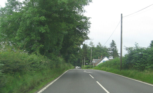
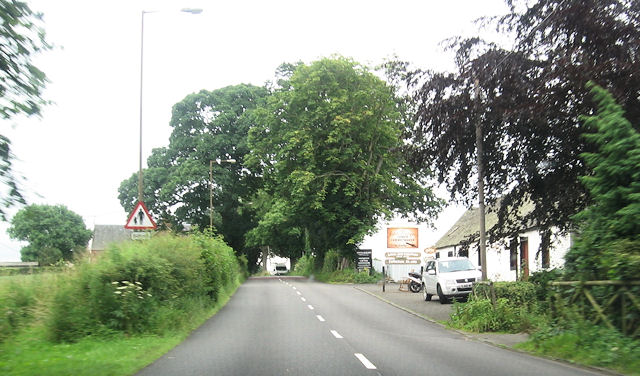
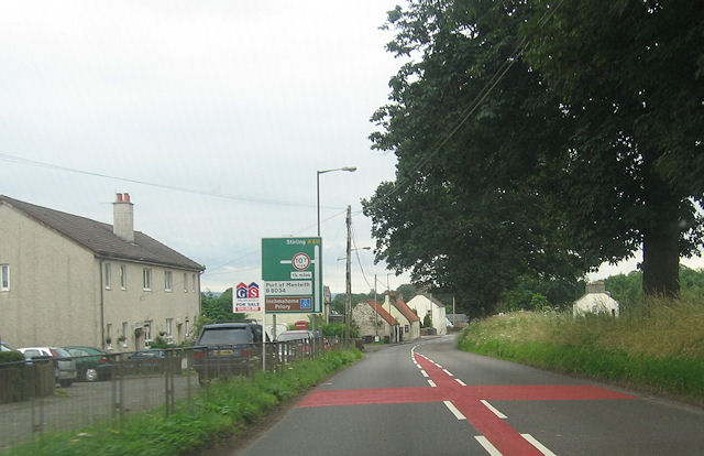
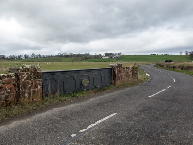
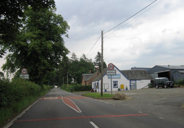
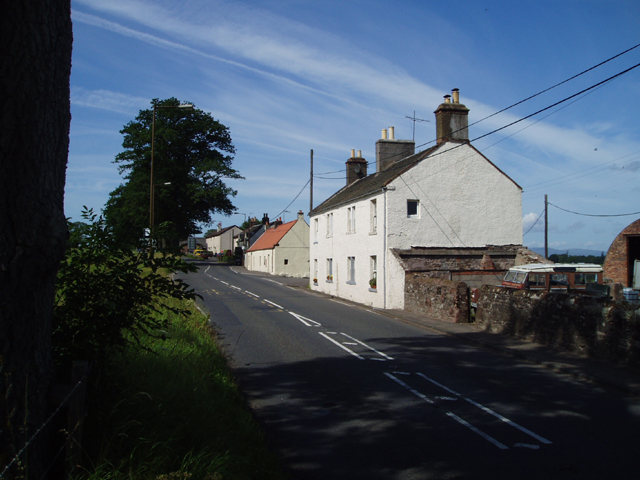
Arnprior Glen Images

Images are sourced within 2km of 56.121969/-4.2298835 or Grid Reference NS6194. Thanks to Geograph Open Source API. All images are credited.

Ladylands Farm buildings on the edge of Flanders Moss - a vast bog, much of which was cleared away revealing good agricultural land.
Ladylands
Farm buildings on the edge of Flanders Moss - a vast bog, much of which was cleared away revealing good agricultural land.
Arnprior Entering the village of Arnprior on the A811 from Stirling.
Arnprior
Entering the village of Arnprior on the A811 from Stirling.
Arnprior The Old Military Road (A811) passing through the village/hamlet of Arnprior.
Arnprior
The Old Military Road (A811) passing through the village/hamlet of Arnprior.
Old Military Road, Arnprior
Old Military Road (A811) A very straight road. Not built by the Romans, but by the English army in the eighteenth century. Part of a network of roads built to enable the army to move about rapidly in response to the Jacobite Uprisings.

More information at <span class="nowrap"><a title="http://www.oldroadsofscotland.com/military_roads.htm" rel="nofollow ugc noopener" href="http://www.oldroadsofscotland.com/military_roads.htm">Link</a><img style="margin-left:2px;" alt="External link" title="External link - shift click to open in new window" src="https://s1.geograph.org.uk/img/external.png" width="10" height="10"/></span> - The Military Roads of Scotland
Old Military Road (A811)
A very straight road. Not built by the Romans, but by the English army in the eighteenth century. Part of a network of roads built to enable the army to move about rapidly in response to the Jacobite Uprisings. More information at LinkExternal link - The Military Roads of Scotland
A811, Old Military Road This long, straight road wasn't built by the Romans (their network of roads didn't extend into Scotland). It was part of a network of roads built by the English military in the 1700s to enable the army to move about rapidly in response to Jacobite uprisings.

More information at <span class="nowrap"><a title="http://www.oldroadsofscotland.com/military_roads.htm" rel="nofollow ugc noopener" href="http://www.oldroadsofscotland.com/military_roads.htm">Link</a><img style="margin-left:2px;" alt="External link" title="External link - shift click to open in new window" src="https://s1.geograph.org.uk/img/external.png" width="10" height="10"/></span> - The Military Roads of Scotland
A811, Old Military Road
This long, straight road wasn't built by the Romans (their network of roads didn't extend into Scotland). It was part of a network of roads built by the English military in the 1700s to enable the army to move about rapidly in response to Jacobite uprisings. More information at LinkExternal link - The Military Roads of Scotland
A811 eastbound approaching Arngibbon track Red post office van entering Arngibbon track
A811 eastbound approaching Arngibbon track
Red post office van entering Arngibbon track
A811 entering Arnprior Highland garage on the right
A811 entering Arnprior
Highland garage on the right
Furniture makers in Arnprior From A811
Furniture makers in Arnprior
From A811
Road junction in Arnprior From eastbound A811
Road junction in Arnprior
From eastbound A811
A811 leaving Arnprior Derestriction signs ahead
A811 leaving Arnprior
Derestriction signs ahead
A811 approaching Kippen turning Green road sign ahead
A811 approaching Kippen turning
Green road sign ahead
B8037 Kippen turning Off A811
B8037 Kippen turning
Off A811
Bridge over the Arngibbon Burn This cast-iron bridge bears an oval plaque with the legend 'Robert Melvin, Engineer, Alloa, 1898' and crosses the small burn on the B8034 road. A bridge with the same plaque legend is situated at Polmont railway station. See <a title="https://www.geograph.org.uk/photo/3707815" href="https://www.geograph.org.uk/photo/3707815">Link</a>
Bridge over the Arngibbon Burn
This cast-iron bridge bears an oval plaque with the legend 'Robert Melvin, Engineer, Alloa, 1898' and crosses the small burn on the B8034 road. A bridge with the same plaque legend is situated at Polmont railway station. See Link
A811 westbound
A811 westbound
Entrance to Arnprior
Signal Point Remains Remains of a signal point alongside the former Forth And Clyde Junction Railway, adjacent to Station Wood (and just east of Port Of Menteith Station), Arnprior.
Signal Point Remains
Remains of a signal point alongside the former Forth And Clyde Junction Railway, adjacent to Station Wood (and just east of Port Of Menteith Station), Arnprior.
Trackbed Near Station Wood The trackbed of the former Forth And Clyde Junction Railway, now used as access to farmland.
Trackbed Near Station Wood
The trackbed of the former Forth And Clyde Junction Railway, now used as access to farmland.
Show me another place!

Arnprior Glen is located at Grid Ref: NS6194 (Lat: 56.121969, Lng: -4.2298835)

Unitary Authority: Stirling

Police Authority: Forth Valley

What 3 Words

///elastic.innovator.warns. Near Kippen, Stirling

Nearby Locations

Arnprior Glen Arnprior

Related Wikis

A811 road

The A811 is a road in central Scotland. It runs from Stirling to Balloch. == Route == The road starts off in the centre of Stirling, at the Craigs Roundabout...

Arnprior, Stirling

Arnprior is a hamlet in the Stirling council area of Scotland on the A811 about 12 miles west of Stirling and is one of the smallest community council...

Ladylands Platform railway station

Ladylands Platform railway station co-served the village of Kippen, Stirling, Scotland, from 1861 to 1934 on the Forth and Clyde Junction Railway. ��2...

Port of Menteith railway station

Port of Menteith railway station served the village of Port of Menteith, Stirling, Scotland, from 1856 by 1934 on the Forth and Clyde Junction Railway...

Nearby Amenities

Located within 500m of 56.121969,-4.2298835
Power: pole
Lat/Long: 56.1204936/-4.2372609
Power: pole
Lat/Long: 56.120152/-4.2361774
Power: pole
Lat/Long: 56.1198348/-4.235142
Power: pole
Lat/Long: 56.1191993/-4.2347738
Power: pole
Lat/Long: 56.1185743/-4.2344182
Power: pole
Lat/Long: 56.1233107/-4.2233341
Power: pole
Lat/Long: 56.1226647/-4.2226857
Power: pole
Lat/Long: 56.1220619/-4.2220644
The data included in this document is from www.openstreetmap.org. The data is made available under ODbL.

Have you been to Arnprior Glen?

Leave your review of Arnprior Glen below (or comments, questions and feedback).