Falkland
Settlement in Fife
Scotland
Falkland

Falkland is a small village located in the county of Fife, Scotland. Situated approximately 37 kilometers (23 miles) north of Edinburgh and 24 kilometers (15 miles) west of Kirkcaldy, Falkland is nestled within the picturesque Lomond Hills and is known for its stunning natural surroundings.
The village is steeped in history and is most famous for its well-preserved Renaissance palace, Falkland Palace. Originally built in the 16th century, the palace was a favorite retreat for Scottish royalty, including Mary, Queen of Scots. Today, it is managed by the National Trust for Scotland and offers visitors a glimpse into the past with its beautifully restored architecture and extensive gardens.
In addition to its historical attractions, Falkland boasts a charming village center with quaint shops, cafes, and traditional pubs. The village is known for its friendly community spirit and welcoming atmosphere, making it a popular destination for both tourists and locals alike.
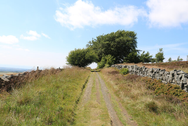
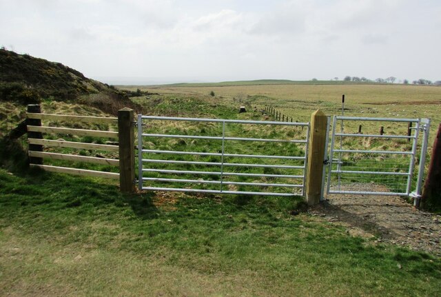
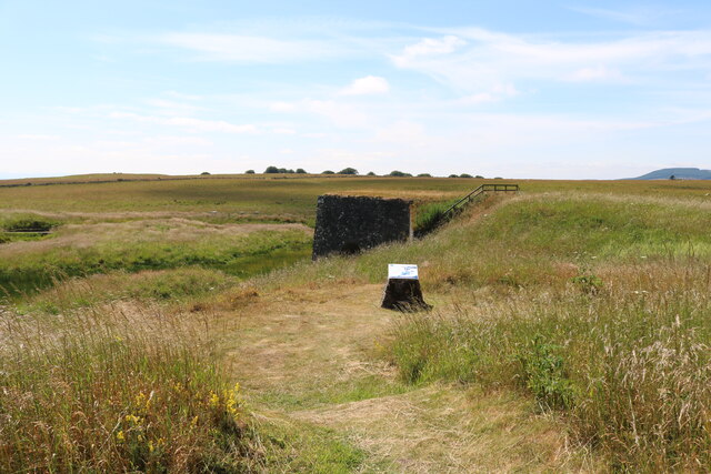
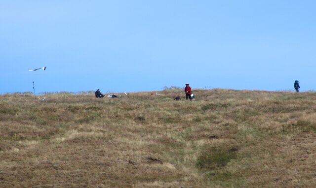
Outdoor enthusiasts will find plenty to do in Falkland, as the village is surrounded by stunning countryside and offers a range of walking and cycling trails. The nearby Lomond Hills provide ample opportunities for hiking, while the Falkland Estate offers a variety of outdoor activities, including fishing and birdwatching.
Overall, Falkland is a delightful village that seamlessly blends history, natural beauty, and a warm community spirit. Whether you're exploring the palace, enjoying a leisurely stroll, or simply soaking up the village's unique ambiance, Falkland is a destination that offers something for everyone.
If you have any feedback on the listing, please let us know in the comments section below.
Falkland Images
Images are sourced within 2km of 56.252084/-3.206694 or Grid Reference NO2507. Thanks to Geograph Open Source API. All images are credited.


Falkland is located at Grid Ref: NO2507 (Lat: 56.252084, Lng: -3.206694)
Unitary Authority: Fife
Police Authority: Fife
What 3 Words
///managers.consults.flipping. Near Falkland, Fife
Nearby Locations
Related Wikis

Brunton House, Falkland
Brunton House is a Category A listed building in the village of Falkland in Fife, Scotland. It was formerly the residence of the hereditary falconers to...

Falkland Town Hall
Falkland Town Hall is a municipal building in the High Street, Falkland, Fife, Scotland. The structure, which has been converted for use as offices and...
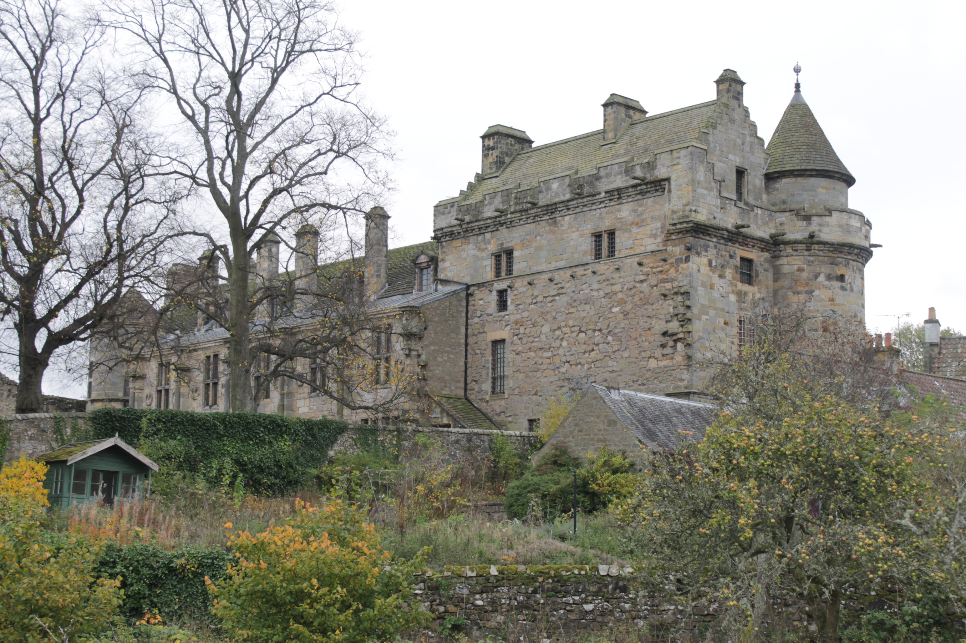
Falkland Palace
Falkland Palace, in Falkland, Fife, Scotland, is a royal palace of the Scottish Kings. It was one of the favourite places of Mary, Queen of Scots, who...
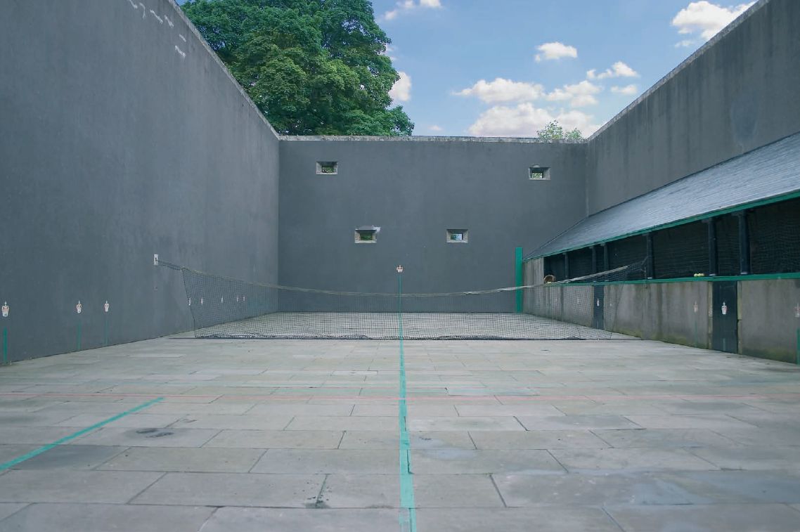
Falkland Palace Royal Tennis Club
The Falkland Palace Royal Tennis Club (also previously called the Falkland Palace Real Tennis Club) organizes play at the real tennis court in the gardens...
Nearby Amenities
Located within 500m of 56.252084,-3.206694Have you been to Falkland?
Leave your review of Falkland below (or comments, questions and feedback).