Knockholt Beeches
Wood, Forest in Kent Sevenoaks
England
Knockholt Beeches
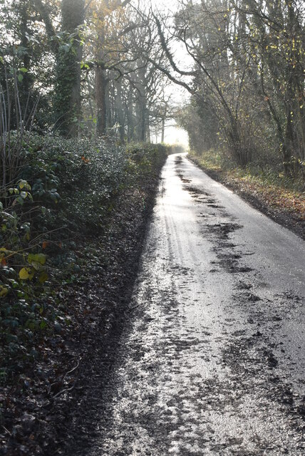
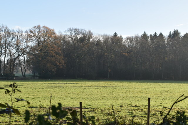
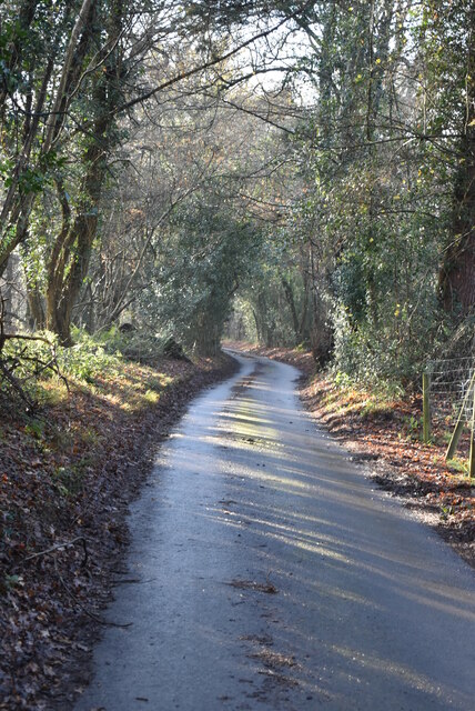
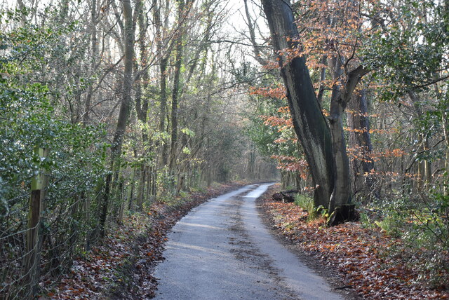
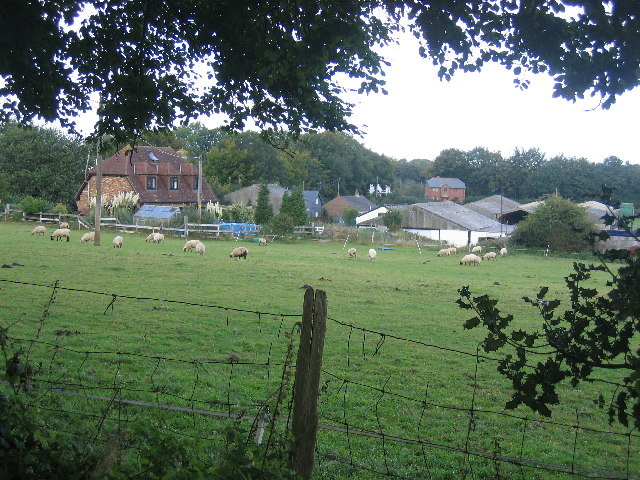
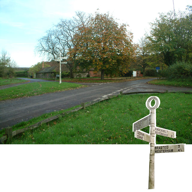
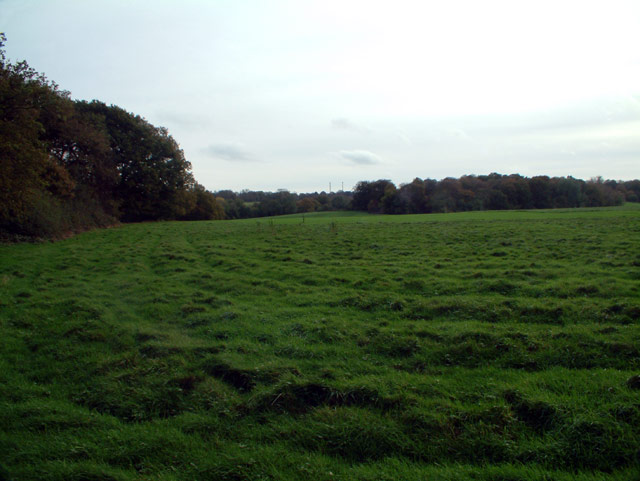
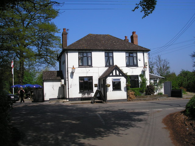
Knockholt Beeches is a picturesque woodland located in the county of Kent, England. Covering an area of approximately 200 acres, it is a popular destination for nature enthusiasts and hikers alike. The wood is situated between the villages of Knockholt and Halstead, just a short distance from the bustling city of London.
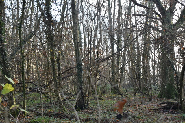
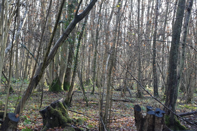
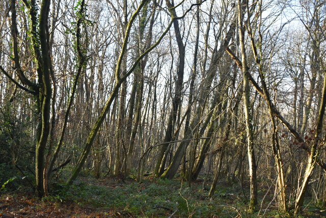
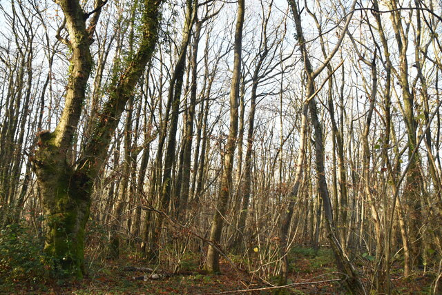
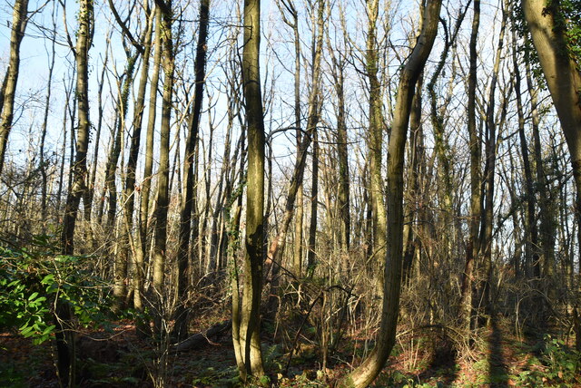
The main feature of Knockholt Beeches is its ancient beech trees, which have been standing for centuries and give the woodland its name. These majestic trees create a dense canopy, providing a cool and shaded environment even on hot summer days. The wood is also home to a variety of other tree species such as oak, birch, and silver fir, adding to its diverse ecosystem.
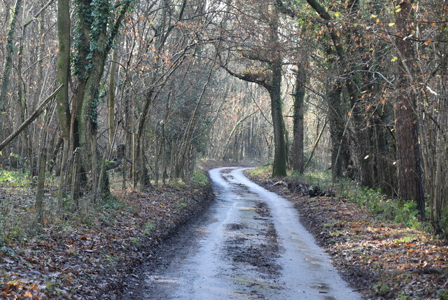
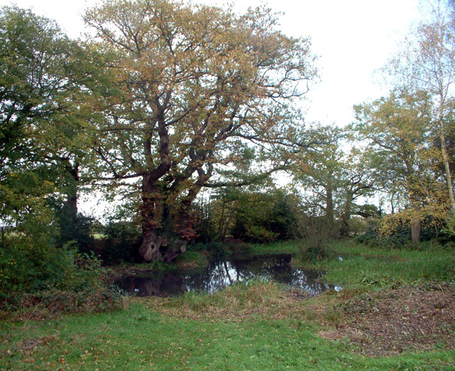
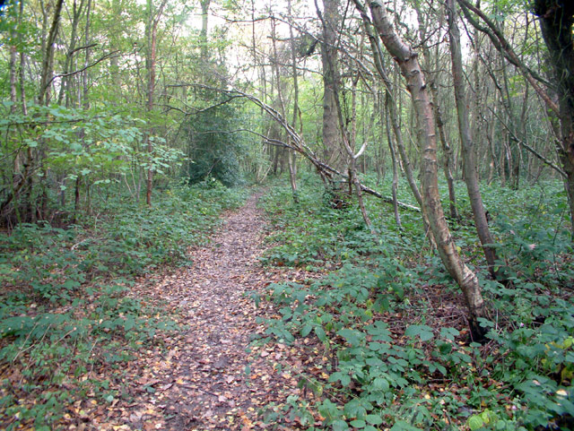
The woodland is crisscrossed with a network of well-maintained footpaths, allowing visitors to explore its beauty at their own pace. These paths lead to various points of interest, including secluded clearings, enchanting ponds, and stunning viewpoints. The area is teeming with wildlife, and lucky visitors may catch a glimpse of deer, foxes, or even the elusive badger.
Knockholt Beeches is not only a haven for nature enthusiasts but also holds historical significance. It was once part of the ancient wildwood that covered much of England, and evidence of human activity dating back thousands of years has been discovered within its boundaries.
Overall, Knockholt Beeches is a tranquil and enchanting woodland, offering visitors a chance to escape the hustle and bustle of everyday life and immerse themselves in the beauty of nature.
If you have any feedback on the listing, please let us know in the comments section below.
Knockholt Beeches Images
Images are sourced within 2km of 51.307611/0.106566 or Grid Reference TQ4658. Thanks to Geograph Open Source API. All images are credited.
Knockholt Beeches is located at Grid Ref: TQ4658 (Lat: 51.307611, Lng: 0.106566)
Administrative County: Kent
District: Sevenoaks
Police Authority: Kent
What 3 Words
///ankle.agrees.glitz. Near Sundridge, Kent
Nearby Locations
Related Wikis

Knockholt
Knockholt is a village and civil parish in the Sevenoaks District of Kent, England. It is located 5 mi (8 km) north west of Sevenoaks & 5.7 mi (9.2 km...

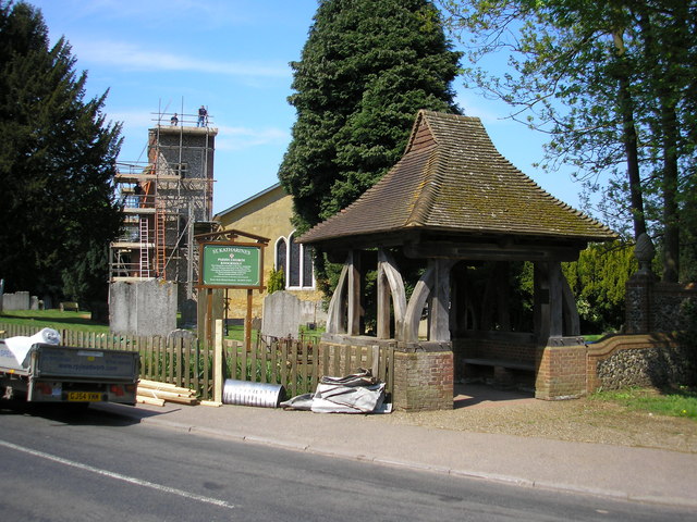
St Katharine's Church, Knockholt
St Katharine's Church is an Anglican parish church in the village of Knockholt and the Sevenoaks deanery. St Katharine's and St Margaret's came together...
Horns Green
Horns Green is an area in the London Borough of Bromley located to the south of Cudham near the boundary with Kent. == References ==
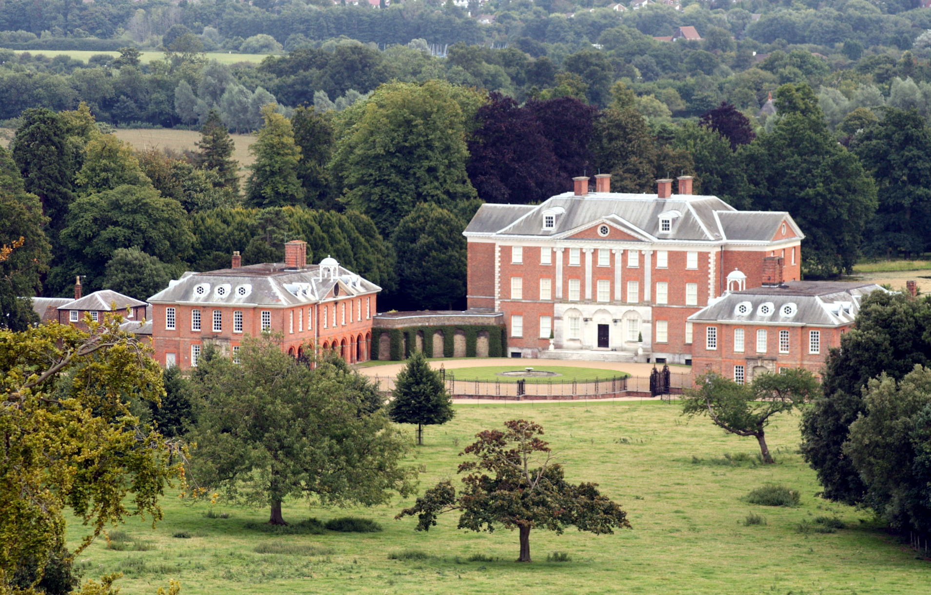
Chevening
Chevening House () is a large country house in the parish of Chevening in Kent, England. Built between 1617 and 1630 to a design reputedly by Inigo Jones...

Chatham Vase
The Chatham Vase is a stone sculpture by John Bacon commissioned as a memorial to William Pitt the Elder by his wife, Hester, Countess of Chatham. It was...

Brasted railway station
Brasted is a disused intermediate railway station in Brasted, Kent on the closed Westerham Valley branch line. The station closed in 1961 and the site...

Cudham
Cudham is a village in Greater London, England, located within the London Borough of Bromley and beyond London's urban sprawl. It is located on the Greater...

Chevening, Kent
Chevening () is a village and civil parish in the Sevenoaks District of Kent, England. It was the location for the world's earliest known organised cricket...
Nearby Amenities
Located within 500m of 51.307611,0.106566Have you been to Knockholt Beeches?
Leave your review of Knockholt Beeches below (or comments, questions and feedback).