Knockholt

Settlement in Kent Sevenoaks

England

Knockholt

Fairtrough Rd
Fairtrough Rd Credit: N Chadwick

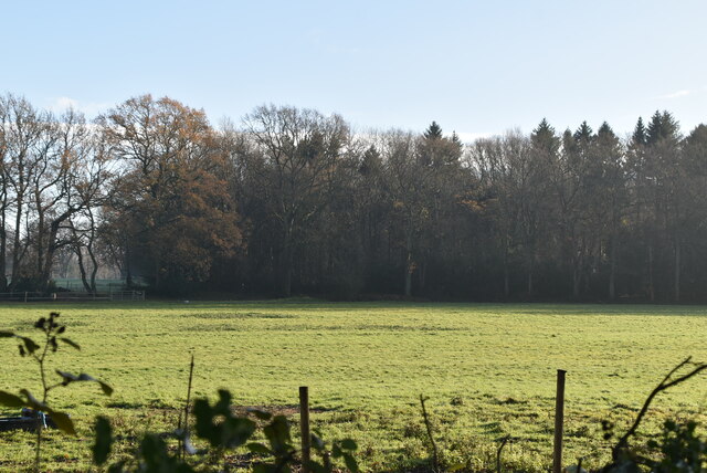
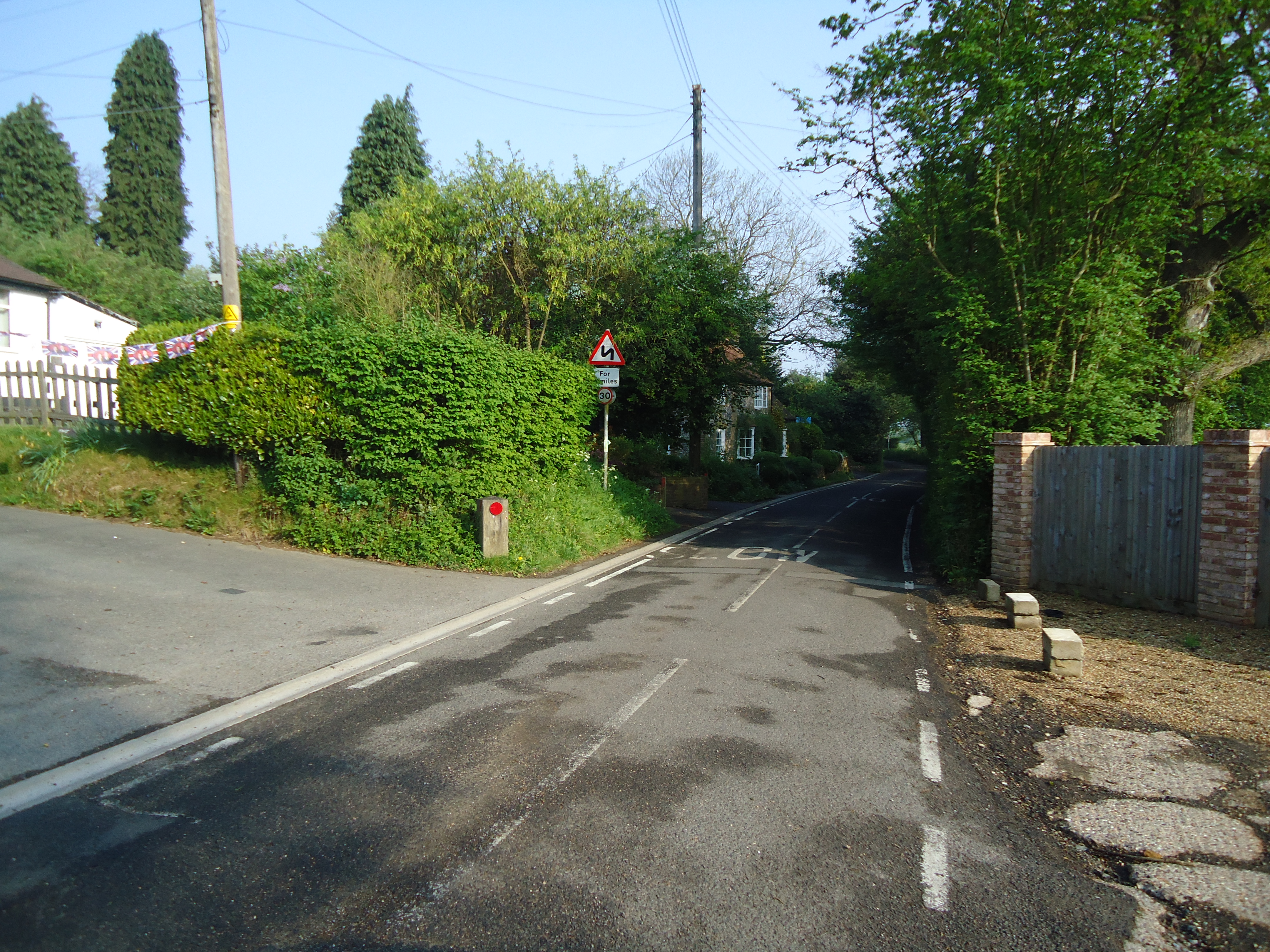
Knockholt is a picturesque village situated in the county of Kent, England. Located on the western slopes of the North Downs, it lies approximately 20 miles southeast of central London. The village is part of the Sevenoaks district and is surrounded by charming countryside and woodlands, providing a tranquil and scenic setting.

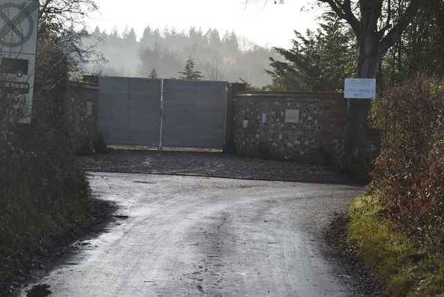
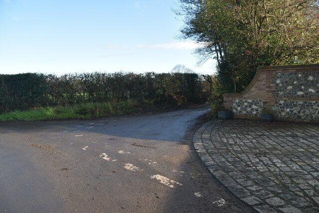
Knockholt is known for its historic charm, with many of its buildings dating back several centuries. The village center boasts a mix of traditional and modern architecture, including charming cottages, quaint shops, and a local pub, which serves as a popular gathering spot for residents and visitors alike.

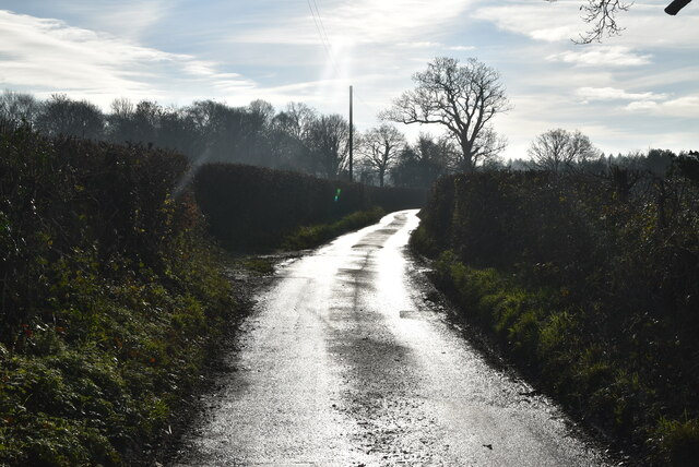
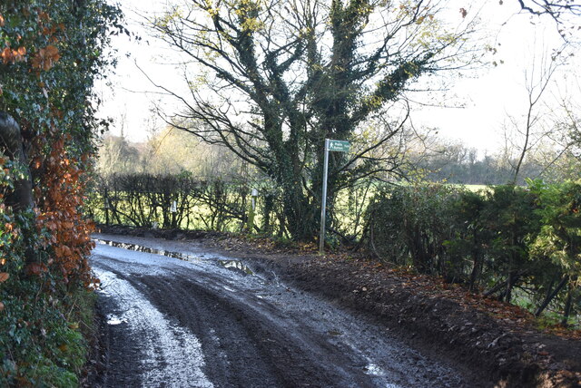
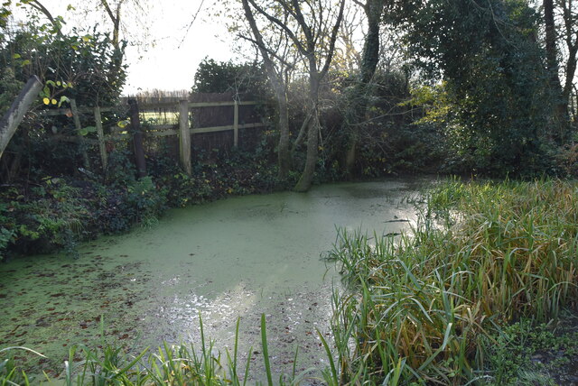
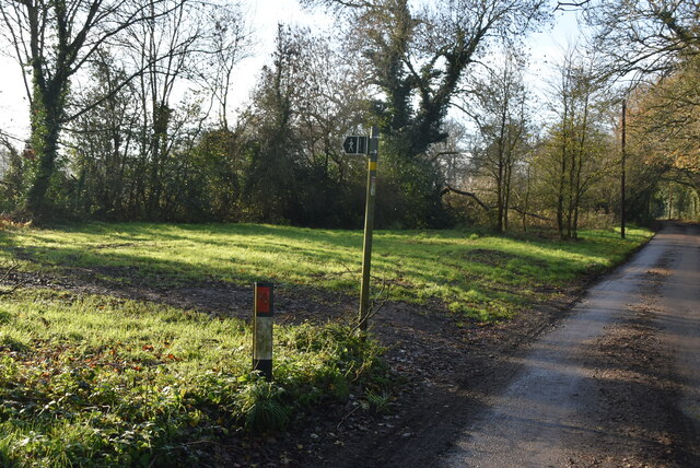
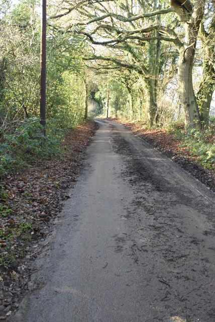
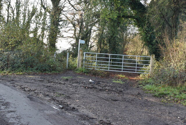
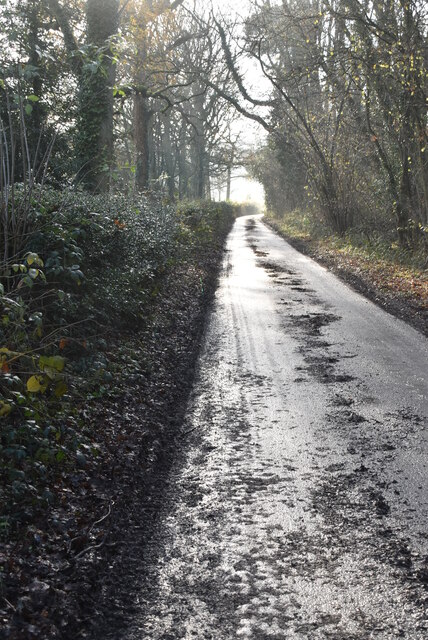
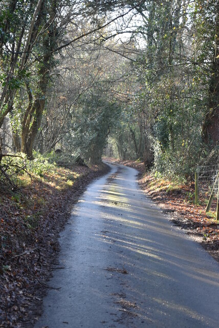
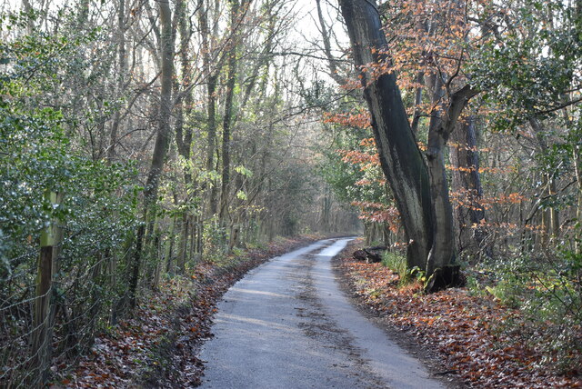
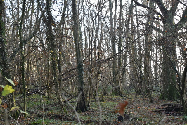
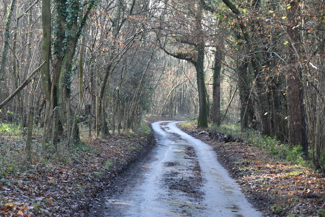
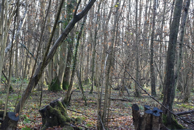
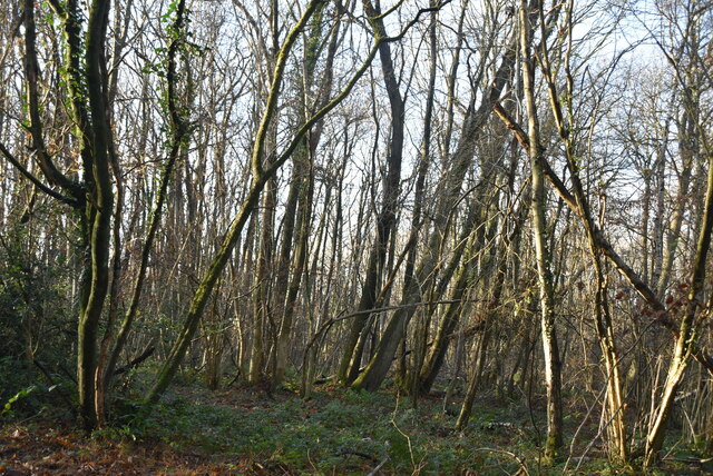
Nature enthusiasts will find plenty to explore in and around Knockholt. The nearby woodland areas, such as Knockholt Beeches and Rushmore Woods, offer beautiful walking trails that showcase the region's natural beauty. These woodlands are home to an array of wildlife, including deer, badgers, and various bird species, making it a haven for nature lovers.

Despite its rural surroundings, Knockholt benefits from good transport links. The village is served by Knockholt railway station, offering regular services to London and other nearby towns. Additionally, the M25 motorway is easily accessible, providing convenient access to both Gatwick and Heathrow airports.

With its idyllic countryside setting, historic charm, and convenient location, Knockholt is a desirable place to live for those seeking a peaceful village lifestyle within easy reach of London and other major amenities.

If you have any feedback on the listing, please let us know in the comments section below.

Knockholt Images

Images are sourced within 2km of 51.311086/0.10586422 or Grid Reference TQ4658. Thanks to Geograph Open Source API. All images are credited.

Fairtrough Rd
Fairtrough Rd
Fairtrough Rd, Perry's Lane junction
Perry's Lane
Perry's Lane
Footpath off Washneys Rd
Washneys Rd
Washneys Rd
Little Washneys
Little Washneys
Eutrophic pond Eutrophication is an enrichment of a water body by minerals and nutrients that lead to a reduction in water quality, especially a reduction in oxygen content. Although it can be a natural process most modern eutrophication is caused by human activity, especially the use of nitrates and phosphates. A eutrophic water body is characterised by a surface green algal bloom.
Wikipedia: <span class="nowrap"><a title="https://en.wikipedia.org/wiki/Eutrophication" rel="nofollow ugc noopener" href="https://en.wikipedia.org/wiki/Eutrophication">Link</a><img style="margin-left:2px;" alt="External link" title="External link - shift click to open in new window" src="https://s1.geograph.org.uk/img/external.png" width="10" height="10"/></span>
Eutrophic pond
Eutrophication is an enrichment of a water body by minerals and nutrients that lead to a reduction in water quality, especially a reduction in oxygen content. Although it can be a natural process most modern eutrophication is caused by human activity, especially the use of nitrates and phosphates. A eutrophic water body is characterised by a surface green algal bloom. Wikipedia: LinkExternal link
Footpath off Washneys Rd
Washneys Rd
Washneys Rd
Footpath off Washneys Rd
New Years Lane
New Years Lane
Hayman's Wood
Hayman's Wood
New Years Lane
New Years Lane
New Years Lane, Newlands Wood
Newlands Wood
Newlands Wood
New Years Lane
New Years Lane
New Years Wood
New Years Wood
New Years Wood
New Years Wood
Show me another place!

Knockholt is located at Grid Ref: TQ4658 (Lat: 51.311086, Lng: 0.10586422)

Administrative County: Kent

District: Sevenoaks

Police Authority: Kent

What 3 Words

///less.libraries.voice. Near Sundridge, Kent

Related Wikis

St Katharine's Church, Knockholt

St Katharine's Church is an Anglican parish church in the village of Knockholt and the Sevenoaks deanery. St Katharine's and St Margaret's came together...

Knockholt

Knockholt is a village and civil parish in the Sevenoaks District of Kent, England. It is located 5 mi (8 km) north west of Sevenoaks & 5.7 mi (9.2 km...

Horns Green

Horns Green is an area in the London Borough of Bromley located to the south of Cudham near the boundary with Kent. == References ==
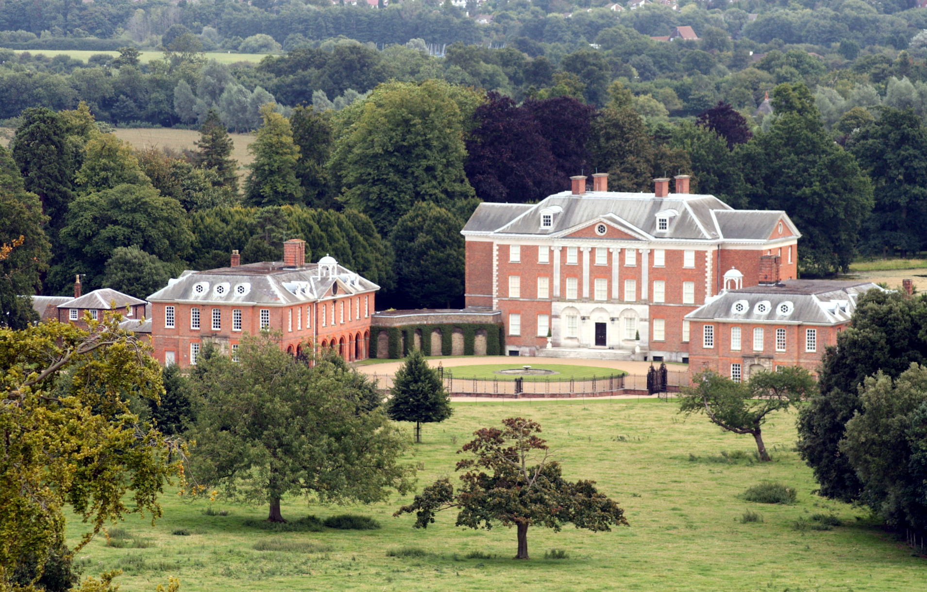
Chevening

Chevening House () is a large country house in the parish of Chevening in Kent, England. Built between 1617 and 1630 to a design reputedly by Inigo Jones...

Cudham

Cudham is a village in Greater London, England, located within the London Borough of Bromley and beyond London's urban sprawl. It is located on the Greater...

Chatham Vase

The Chatham Vase is a stone sculpture by John Bacon commissioned as a memorial to William Pitt the Elder by his wife, Hester, Countess of Chatham. It was...

London Borough of Bromley

The London Borough of Bromley ( ) is the largest and southeasternmost of the London boroughs that make up Greater London, bordering the county of Kent...

Fort Halstead

Fort Halstead was a research site of the Defence Science and Technology Laboratory (Dstl), an executive agency of the UK Ministry of Defence. It is situated...

Nearby Amenities

Located within 500m of 51.311086,0.10586422
Barrier: stile
Bicycle: no
Foot: yes
Material: wood
Source: survey
Stile: stepover
Lat/Long: 51.3094614/0.104799
Barrier: kissing_gate
Foot: yes
Lat/Long: 51.3097318/0.1107045
Barrier: stile
Bicycle: no
Foot: yes
Material: wood
Source: survey
Stile: stepover
Lat/Long: 51.3150267/0.1046005
Barrier: stile
Bicycle: no
Foot: yes
Material: wood
Source: survey
Stile: stepover
Lat/Long: 51.3134225/0.1044381
Barrier: stile
Bicycle: no
Foot: yes
Material: wood
Source: survey
Stile: stepover
Lat/Long: 51.3118406/0.1043695
Barrier: stile
Bicycle: no
Foot: yes
Material: wood
Source: survey
Stile: stepover
Lat/Long: 51.3108107/0.1043261
Bus Stop
Hail & Ride Knockholt War Memorial
Naptan AtcoCode: 2400A008590A
Naptan Bearing: NE
Naptan CommonName: Crown Inn
Naptan Indicator: opp
Naptan Landmark: Crown Inn
Naptan NaptanCode: kntajtpt
Naptan Street: Main Road
Naptan Verified: no
Public Transport: platform
Source: naptan_import
Lat/Long: 51.3098699/0.1041947
Bus Stop
Hail & Ride Knockholt War Memorial
Naptan AtcoCode: 2400A008680A
Naptan Bearing: SW
Naptan CommonName: Crown Inn
Naptan Indicator: adj
Naptan Landmark: Crown Inn
Naptan NaptanCode: kntajtwt
Naptan Street: Main Road
Naptan Verified: no
Public Transport: platform
Source: naptan_import
Lat/Long: 51.309589/0.104116
Barrier: kissing_gate
Foot: yes
Lat/Long: 51.3089932/0.1087452
Barrier: stile
Lat/Long: 51.3089395/0.1086253
Bus Stop
Hail & Ride Blueberry Lane
Naptan AtcoCode: 2400107793
Public Transport: platform
Lat/Long: 51.312454/0.1102324
Bus Stop
Hail & Ride Brasted Lane
Naptan AtcoCode: 2400107797
Public Transport: platform
Lat/Long: 51.3080009/0.1024859
Bus Stop
Hail & Ride Brasted Lane
Naptan AtcoCode: 2400107799
Public Transport: platform
Lat/Long: 51.3081028/0.1023916
Bus Stop
Hail & Ride Blueberry Lane
Naptan AtcoCode: 2400107795
Public Transport: platform
Lat/Long: 51.3125493/0.1100091
Give Way
Lat/Long: 51.3081157/0.1025824
Give Way
Lat/Long: 51.308908/0.103238
Communication: pole
Lat/Long: 51.3085847/0.1052671
Communication: pole
Lat/Long: 51.3076337/0.1025315
Post Box
Collection Times: Mo-Fr 16:00; Sa 10:00; Su off
Colour: Red
Ref: TN14 90
Royal Cypher: EIIR
Royal Cypher Wikidata: Q33102113
Lat/Long: 51.3125702/0.1102676
Post Box
Collection Times: Mo-Fr 09:00; Sa 07:00; Su off
Colour: Red
Ref: TN14 89
Royal Cypher: VR
Royal Cypher Wikidata: Q33102356
Lat/Long: 51.3099396/0.1042812
The data included in this document is from www.openstreetmap.org. The data is made available under ODbL.

Have you been to Knockholt?

Leave your review of Knockholt below (or comments, questions and feedback).