Knockdon

Settlement in Ayrshire

Scotland

Knockdon

Culroy Nr Ayr
Culroy Nr Ayr Credit: Chris

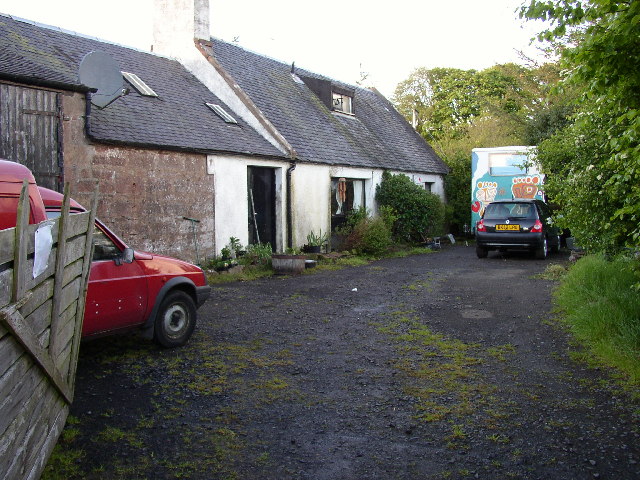
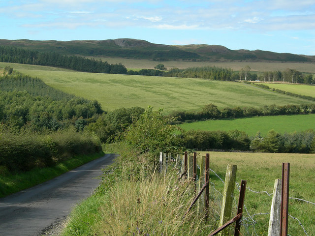
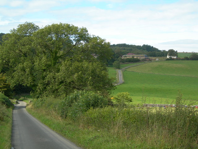
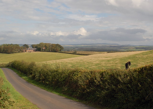
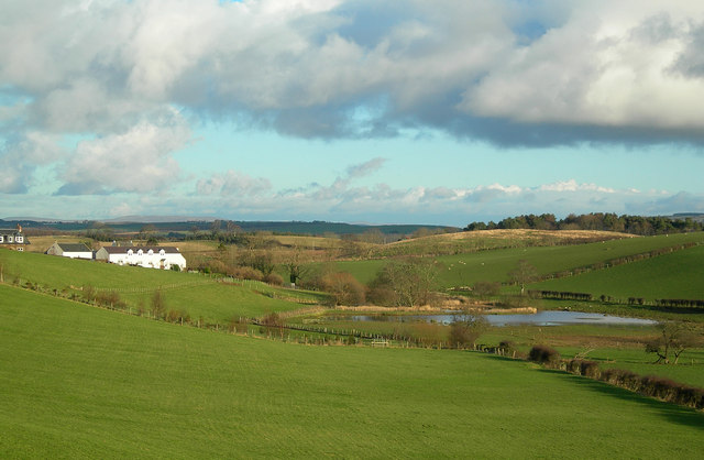
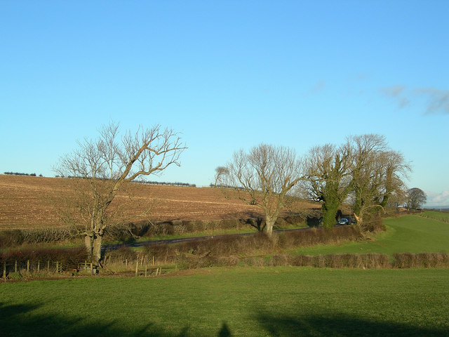
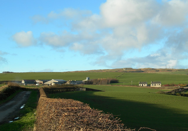
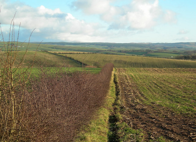
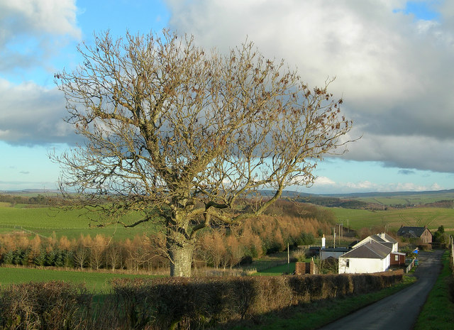
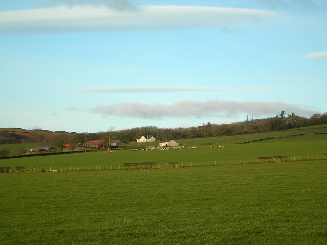
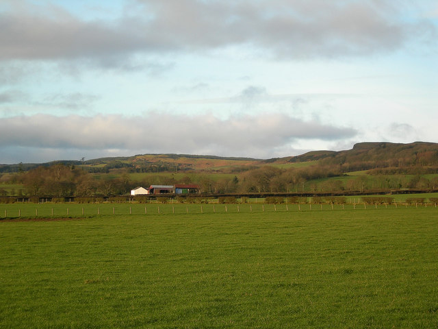
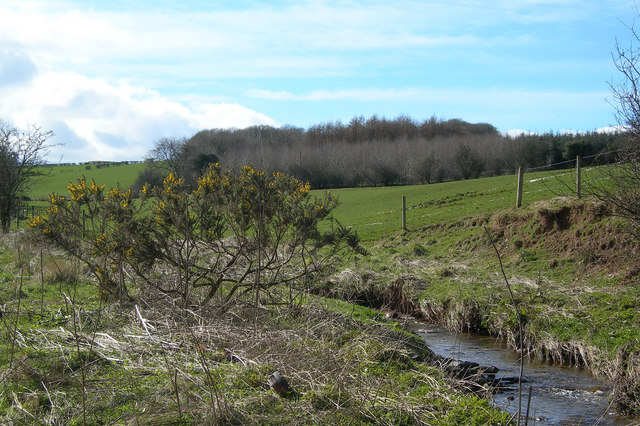
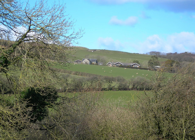
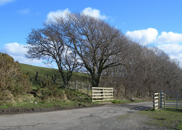
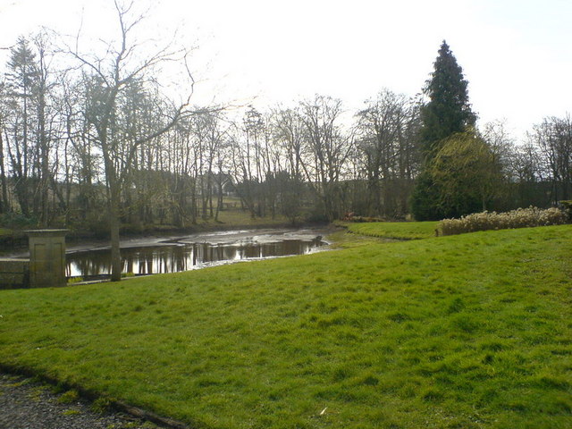
Knockdon is a small village located in the council area of South Ayrshire, in the southwest region of Scotland. Situated approximately 5 miles northeast of the town of Ayr, it is nestled in the picturesque countryside of Ayrshire. The village is surrounded by rolling hills and farmland, offering residents and visitors stunning views and a peaceful atmosphere.

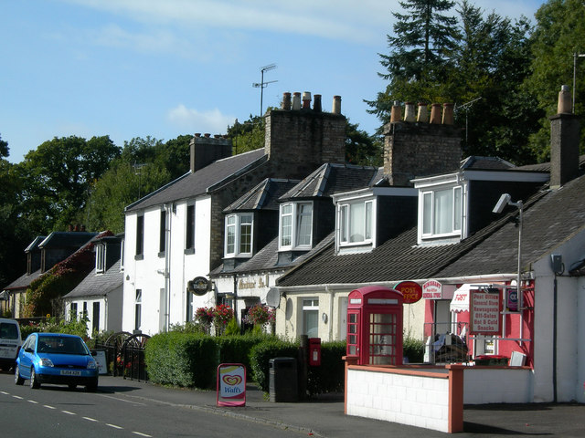
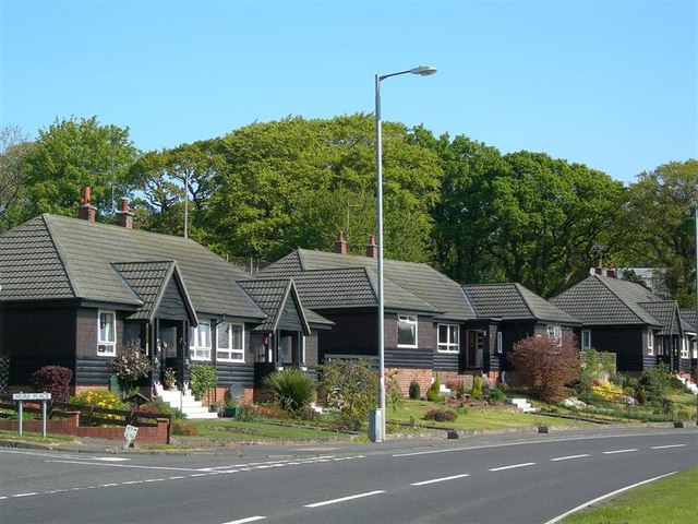
With a population of around 200 people, Knockdon is a close-knit community that prides itself on its strong sense of community spirit. The village is primarily residential, with a mix of traditional stone-built houses and more modern properties. Amenities within the village are limited, but residents can easily access nearby towns and villages for their everyday needs.

One notable feature of Knockdon is its proximity to the Galloway Forest Park, which is just a short drive away. This expansive forest offers a range of outdoor activities, including hiking, cycling, and wildlife spotting. The park is also home to the Scottish Dark Sky Observatory, making it an ideal spot for stargazing enthusiasts.

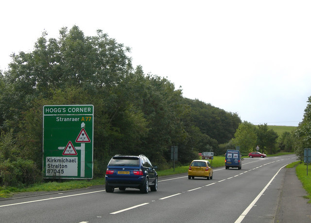
Transport links to Knockdon are relatively good, with regular bus services connecting the village to nearby towns and cities. The closest railway station is in Ayr, providing easy access to Glasgow and other major cities in Scotland.

Overall, Knockdon presents an idyllic rural living experience, perfect for those seeking a peaceful and close-knit community within the beautiful Scottish countryside.

If you have any feedback on the listing, please let us know in the comments section below.

Knockdon Images

Images are sourced within 2km of 55.390162/-4.6712831 or Grid Reference NS3013. Thanks to Geograph Open Source API. All images are credited.

Culroy Nr Ayr
Culroy Nr Ayr
Road to Garryhorn Looking NNW down the hill towards Garryhorn, showing farmland and woodland
Road to Garryhorn
Looking NNW down the hill towards Garryhorn, showing farmland and woodland
Sauchrie Looking N across the burn towards Sauchrie Farm, from Cycle Route 7
Sauchrie
Looking N across the burn towards Sauchrie Farm, from Cycle Route 7
Knockdon Farm Improved grazing with Knockdon Farm in background
Knockdon Farm
Improved grazing with Knockdon Farm in background
Minishant Inn & Post Office Minishant Inn & Post Office, on the busy A77 trunk road near Ayr
Minishant Inn & Post Office
Minishant Inn & Post Office, on the busy A77 trunk road near Ayr
Hogg's Corner, Minishant The original dangerous corner was removed when the A77 was realigned in the early 1970s, but the name has been retained for the junction.
Hogg's Corner, Minishant
The original dangerous corner was removed when the A77 was realigned in the early 1970s, but the name has been retained for the junction.
St Helen's Well The lochan contains the old St Helen's Well.  In bygone days, its waters were believed to cure ailing children if taken on Mayday.  Many Maybole mothers used to walk the 5 mile round trip on Mayday to get a jug of water from St Helen's if they thought that their offsprings weren't thriving as they should.  (Source: "Maybole - Carrick's Capital" by James T Gray)
St Helen's Well
The lochan contains the old St Helen's Well. In bygone days, its waters were believed to cure ailing children if taken on Mayday. Many Maybole mothers used to walk the 5 mile round trip on Mayday to get a jug of water from St Helen's if they thought that their offsprings weren't thriving as they should. (Source: "Maybole - Carrick's Capital" by James T Gray)
Roadside Trees Mature ash trees with varying degrees of ivy alongside the B7024 on a fine January afternoon.
Roadside Trees
Mature ash trees with varying degrees of ivy alongside the B7024 on a fine January afternoon.
High Milton Farm Looking along one of the minor roads that give access to Brown Carrick Hill, shown in the background of this shot.
High Milton Farm
Looking along one of the minor roads that give access to Brown Carrick Hill, shown in the background of this shot.
Field Edge Looking north along a hedgerow, with a fine view of the south Ayrshire countryside in the background.
Field Edge
Looking north along a hedgerow, with a fine view of the south Ayrshire countryside in the background.
Towards Laigh Grange
High Pinmore Looking along the south-eastern edge of the North Carrick Hills.
High Pinmore
Looking along the south-eastern edge of the North Carrick Hills.
Low Pinmore Looking along the south-eastern edge of the North Carrick Hills.
Low Pinmore
Looking along the south-eastern edge of the North Carrick Hills.
Along the Burn Farmland and woodland along the southern edge of the Carrick Hills.
Along the Burn
Farmland and woodland along the southern edge of the Carrick Hills.
Beoch A winter view, taken on a fine March afternoon.
Beoch
A winter view, taken on a fine March afternoon.
At the Cattle Grid One of several cattle grids on the Brown Carrick Hill Road.
At the Cattle Grid
One of several cattle grids on the Brown Carrick Hill Road.
Timber Houses At Minishant Attractive, well-maintained timber buildings with lovely front gardens by the A77 through Minishant.
Timber Houses At Minishant
Attractive, well-maintained timber buildings with lovely front gardens by the A77 through Minishant.
The pond Grange House The pond Grange House partially drained.
The pond Grange House
The pond Grange House partially drained.
Show me another place!

Knockdon is located at Grid Ref: NS3013 (Lat: 55.390162, Lng: -4.6712831)

Unitary Authority: South Ayrshire

Police Authority: Ayrshire

What 3 Words

///toenail.brightens.clusters. Near Maybole, South Ayrshire

Nearby Locations

Knockdon

Related Wikis

Minishant

Minishant is a village bordering the A77 in the old county of Carrick, South Ayrshire, Scotland. It is located in Maybole Parish, 3+1⁄2 miles (5.5 kilometres...

Cassillis railway station

Cassillis railway station was a railway station serving the village of Minishant, South Ayrshire, Scotland. The station was originally part of the Ayr...

Maybole (old) railway station

Maybole railway station was a railway station serving the village of Maybole, South Ayrshire, Scotland. The station was originally part of the Ayr and...

Maybole

Maybole is a town and former burgh of barony and police burgh in South Ayrshire, Scotland. It had an estimated population of 4,580 in 2020. It is situated...

Nearby Amenities

Located within 500m of 55.390162,-4.6712831
Power: pole
Lat/Long: 55.3899328/-4.6639795
Power: pole
Lat/Long: 55.390033/-4.6649728
Power: pole
Lat/Long: 55.3901371/-4.6662236
Power: pole
Lat/Long: 55.3902518/-4.6675068
Power: pole
Lat/Long: 55.3903414/-4.6685511
Power: pole
Lat/Long: 55.3904416/-4.6696325
Power: pole
Lat/Long: 55.390543/-4.670787
Power: pole
Lat/Long: 55.3907666/-4.6642529
Power: pole
Lat/Long: 55.3935706/-4.6753533
Power: pole
Lat/Long: 55.3938352/-4.6749708
Power: pole
Lat/Long: 55.3940946/-4.6745977
The data included in this document is from www.openstreetmap.org. The data is made available under ODbL.

Have you been to Knockdon?

Leave your review of Knockdon below (or comments, questions and feedback).