Rock Wood

Wood, Forest in Sussex Wealden

England

Rock Wood

Stile Onto the Ashdown Forest, Sussex A useful stile design; especially for those with mobility problems, or with animals.
Stile Onto the Ashdown Forest, Sussex Credit: Peter Trimming

Rock Wood is a quaint and picturesque forest located in the county of Sussex, England. Situated near the village of Wood, this natural gem covers an area of approximately 100 acres, making it a popular destination for nature lovers and outdoor enthusiasts.

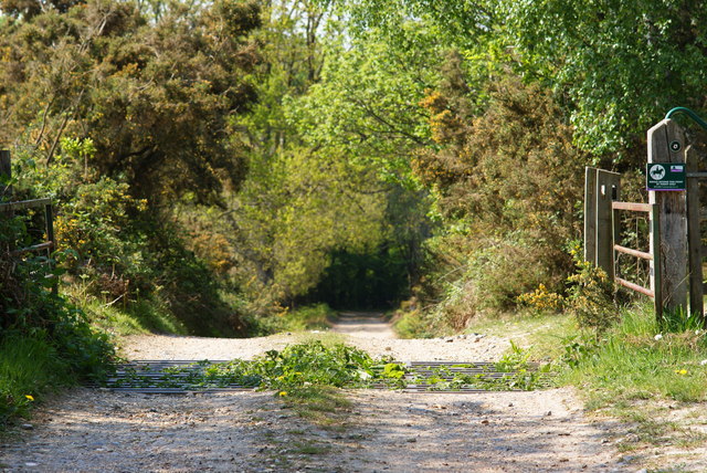
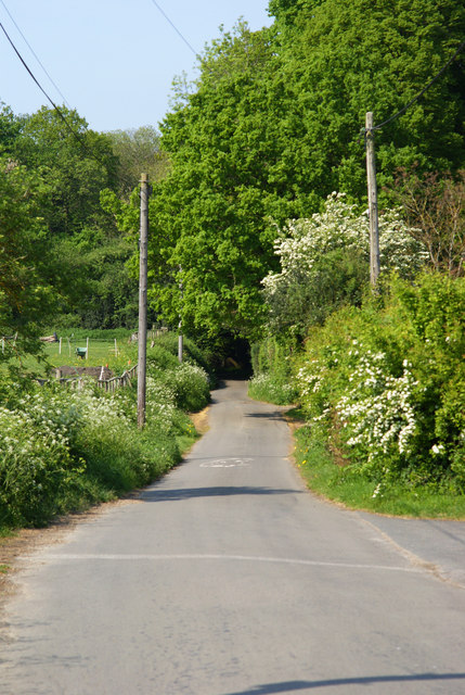
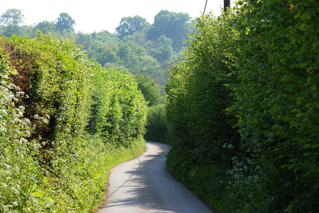
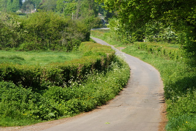
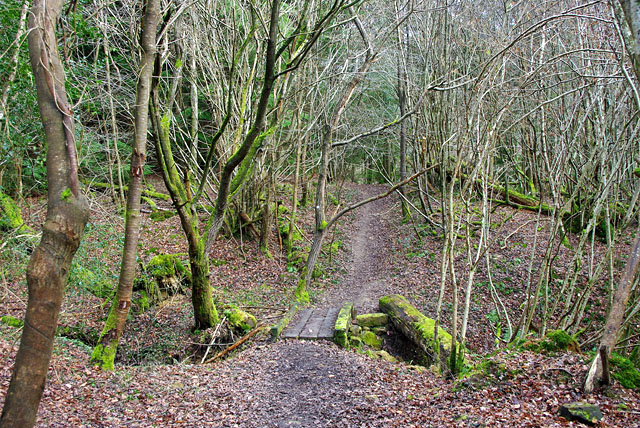
The forest is characterized by its dense canopy of trees, predominantly consisting of oak, beech, and birch. These towering trees create a serene and tranquil atmosphere, providing a peaceful retreat for visitors seeking solace in nature. The forest floor is blanketed with lush vegetation, including ferns, bluebells, and wildflowers, adding to the enchanting beauty of Rock Wood.

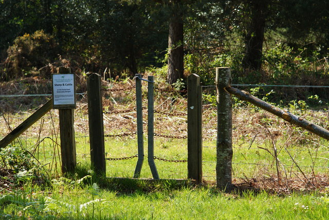
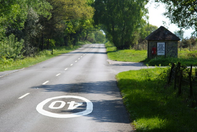
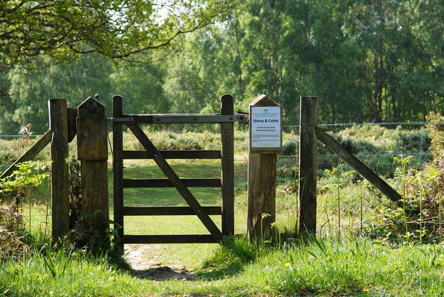
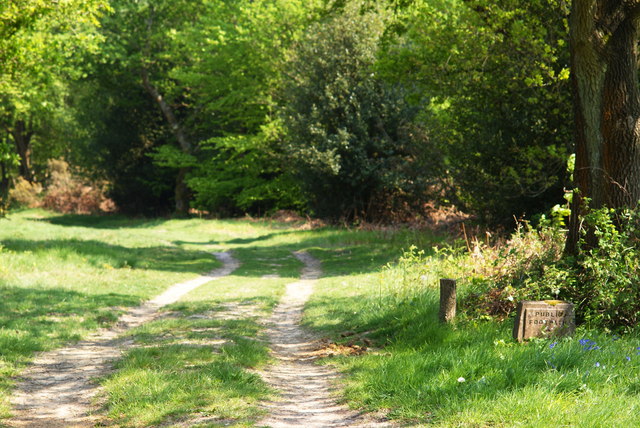
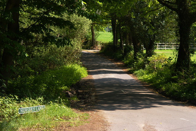
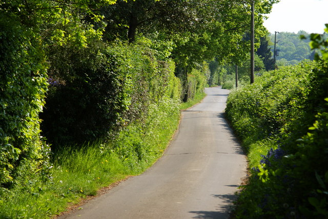
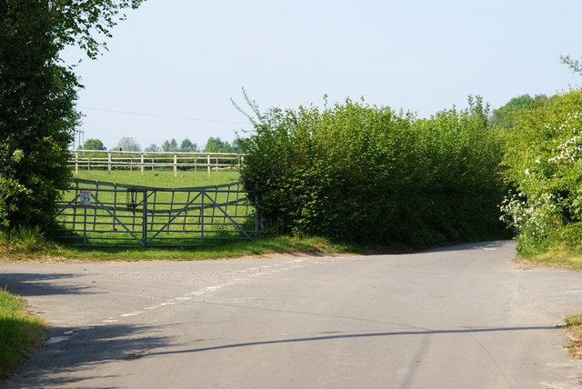
The forest is crisscrossed with a network of well-maintained trails, offering visitors the opportunity to explore its diverse ecosystem. These trails cater to all levels of fitness and are suitable for hiking, walking, and even cycling. As visitors navigate through the forest, they may come across babbling brooks, small ponds, and gentle streams, adding to the charm and tranquility of the surroundings.

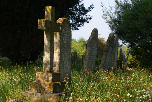
Rock Wood is home to a variety of wildlife, including deer, squirrels, foxes, and a myriad of bird species. Nature enthusiasts can often spot these creatures as they go about their daily routines, making for a delightful and immersive experience.

For those seeking a break from the hustle and bustle of daily life, Rock Wood offers the perfect setting to reconnect with nature. Its serene atmosphere, diverse flora, and fauna, and well-maintained trails make it an idyllic destination for a day trip or a weekend getaway.

If you have any feedback on the listing, please let us know in the comments section below.
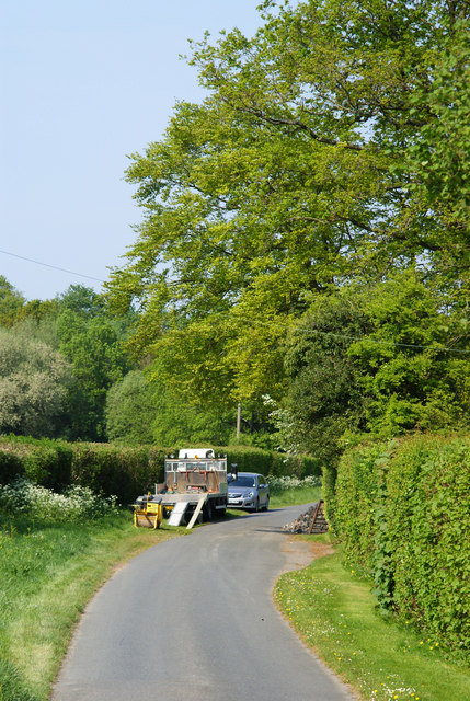
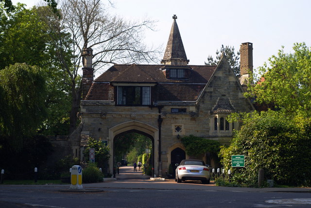
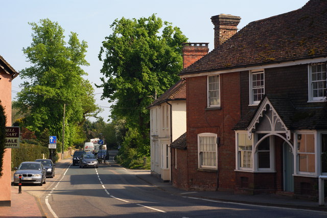
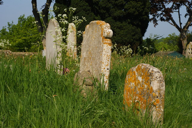
Rock Wood Images

Images are sourced within 2km of 51.013869/0.093226116 or Grid Reference TQ4625. Thanks to Geograph Open Source API. All images are credited.

Stile Onto the Ashdown Forest, Sussex A useful stile design; especially for those with mobility problems, or with animals.
Stile Onto the Ashdown Forest, Sussex
A useful stile design; especially for those with mobility problems, or with animals.
B2026 at Fairwarp, Sussex In the foreground, the 40 MPH Ashdown Forest speed limit is marked on the road. To the right of picture, a bus shelter can be seen.
B2026 at Fairwarp, Sussex
In the foreground, the 40 MPH Ashdown Forest speed limit is marked on the road. To the right of picture, a bus shelter can be seen.
Gate Onto the Ashdown Forest, Sussex Photographed from the B2026
Gate Onto the Ashdown Forest, Sussex
Photographed from the B2026
Public Footpath at Fairwarp, Sussex Photographed from the B2026.
Public Footpath at Fairwarp, Sussex
Photographed from the B2026.
Public Footpath at Fairwarp, Sussex Looking in the direction of the Ashdown Forest, from the B2026. A sign, to the right of picture, states that riding beyond this point is by permit only.
Public Footpath at Fairwarp, Sussex
Looking in the direction of the Ashdown Forest, from the B2026. A sign, to the right of picture, states that riding beyond this point is by permit only.
B2026 at Fairwarp, Sussex Looking in the direction of the Ashdown Forest. Note the 40 MPH speed limit, marked on the road. Fairwarp Church, hidden behind trees, is located near the centre of picture. The gateway, to the church, can just be seen.
B2026 at Fairwarp, Sussex
Looking in the direction of the Ashdown Forest. Note the 40 MPH speed limit, marked on the road. Fairwarp Church, hidden behind trees, is located near the centre of picture. The gateway, to the church, can just be seen.
Nursery Lane, Fairwarp, Sussex An inviting country lane, seen from the B2026.
Nursery Lane, Fairwarp, Sussex
An inviting country lane, seen from the B2026.
Fairwarp Village Hall, Sussex Photographed from Nursery Lane.
Fairwarp Village Hall, Sussex
Photographed from Nursery Lane.
Nursery Lane, Fairwarp, Sussex A quiet country lane. Out of picture, to the left, a row of houses is hidden by the high hedge.
Nursery Lane, Fairwarp, Sussex
A quiet country lane. Out of picture, to the left, a row of houses is hidden by the high hedge.
Nursery Lane, Fairwarp, Sussex Looking in the direction of Fairwarp village. A row of houses is out of picture, to the right.
Nursery Lane, Fairwarp, Sussex
Looking in the direction of Fairwarp village. A row of houses is out of picture, to the right.
Nursery Lane, Fairwarp, Sussex Looking in the direction of Maresfield. Note the high hedges, either side of this narrow lane.
Nursery Lane, Fairwarp, Sussex
Looking in the direction of Maresfield. Note the high hedges, either side of this narrow lane.
Junction of Nursery Lane and Burrells Lane, Sussex The location is just north of the Maresfield Park estate.
Junction of Nursery Lane and Burrells Lane, Sussex
The location is just north of the Maresfield Park estate.
Nursery Lane, Maresfield, Sussex Photograph taken from beside Nightingale Wood, looking north.
Nursery Lane, Maresfield, Sussex
Photograph taken from beside Nightingale Wood, looking north.
Nursery Lane, Maresfield, Sussex The large tree, to the right of picture, marks the position of Oak Tree Cottage.
Nursery Lane, Maresfield, Sussex
The large tree, to the right of picture, marks the position of Oak Tree Cottage.
Entrance to Maresfield Park, Sussex Formerly a large private estate, the road beyond the gatehouse is still marked as 'private'. Judging from the gatehouse, it must have been an impressive estate in its heyday.
Entrance to Maresfield Park, Sussex
Formerly a large private estate, the road beyond the gatehouse is still marked as 'private'. Judging from the gatehouse, it must have been an impressive estate in its heyday.
High Street, Maresfield, Sussex Photographed from close to Maresfield church.
High Street, Maresfield, Sussex
Photographed from close to Maresfield church.
Graves in Maresfield Cemetery, Sussex Photographed from the footpath in High Street.
Graves in Maresfield Cemetery, Sussex
Photographed from the footpath in High Street.
Graves in Maresfield Cemetery, Sussex Photographed from the footpath on High Street.
Graves in Maresfield Cemetery, Sussex
Photographed from the footpath on High Street.
Show me another place!

Rock Wood is located at Grid Ref: TQ4625 (Lat: 51.013869, Lng: 0.093226116)

Administrative County: East Sussex

District: Wealden

Police Authority: Sussex

What 3 Words

///count.cosmic.kettles. Near Buxted, East Sussex

Nearby Locations

Rock Wood

Related Wikis

Rock Wood

Rock Wood is a 10.4-hectare (26-acre) biological Site of Special Scientific Interest north of Uckfield in East Sussex.This ancient wood has several different...

Brickfield Meadow

Brickfield Meadow is a 1.4-hectare (3.5-acre) nature reserve north of Maresfield in East Sussex. It is managed by the Sussex Wildlife Trust.This wildflower...

Fairwarp

Fairwarp is a small village within the civil parish of Maresfield in the Wealden district of East Sussex, England. Its nearest town is Uckfield, which...

Buxted Park

Buxted Park is an 84.7 hectare (206.16 acre) biological Site of Special Scientific Interest, located near the village of Buxted, East Sussex, England....

Maresfield

Maresfield is a village and civil parish in the Wealden District of East Sussex, England. The village itself lies 1.5 miles (2.4 km) north from Uckfield...

Heron's Ghyll

Heron's Ghyll is a hamlet in the Wealden district of East Sussex. St John the Evangelist Church is a Catholic church in the village. There is a late 19th...

Five Ash Down

Five Ash Down is a small village within the civil parish of Buxted, in the Wealden district of East Sussex, England. Its nearest town is Uckfield, which...

St John the Evangelist Church, Heron's Ghyll

St John's Church or St John the Evangelist Church is a Roman Catholic Parish Church in the Heron's Ghyll settlement of Buxted, East Sussex, England. It...

Nearby Amenities

Located within 500m of 51.013869,0.093226116
Barrier: kissing_gate
Lat/Long: 51.0130105/0.0991318
Barrier: stile
Lat/Long: 51.0120951/0.0919476
Barrier: stile
Lat/Long: 51.0120815/0.0904406
The data included in this document is from www.openstreetmap.org. The data is made available under ODbL.

Have you been to Rock Wood?

Leave your review of Rock Wood below (or comments, questions and feedback).