Birches Wood

Wood, Forest in Sussex Wealden

England

Birches Wood

Worth Oast House Twin round kiln oast house.
Worth Oast House Credit: N Chadwick

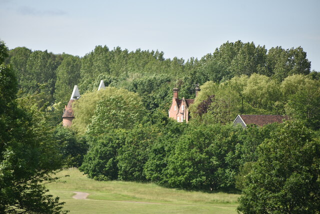
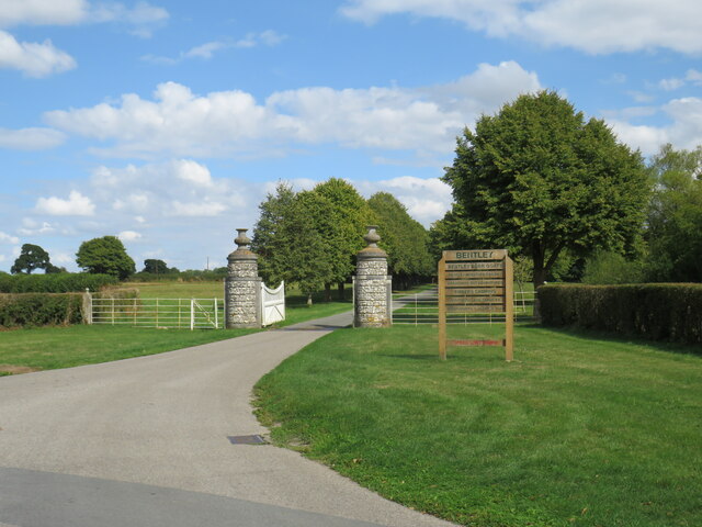
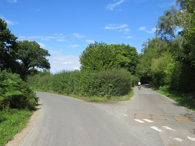
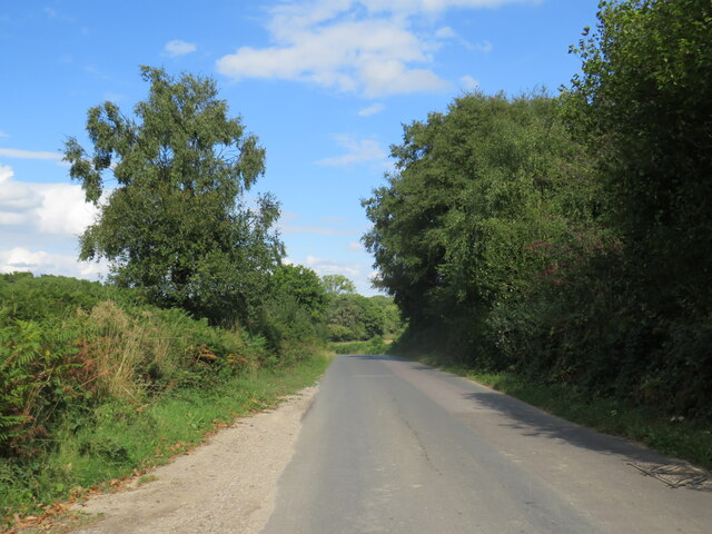
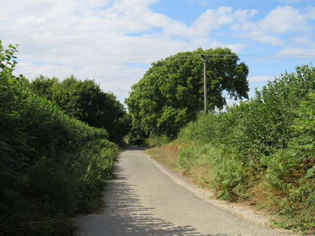
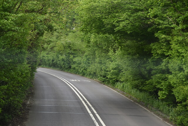
Birches Wood, located in Sussex, is a picturesque forest that spans over a vast area. The wood is characterized by its dense population of birch trees, which give the forest its name. These elegant trees stand tall and proud, their slender trunks and delicate leaves creating a mesmerizing spectacle. The wood is a natural haven for various species of wildlife, making it a popular spot for nature enthusiasts and photographers.

The forest floor is covered in a carpet of lush green moss, adding to the ethereal beauty of the woodland. Sunlight filters through the canopy, creating a tranquil and peaceful atmosphere. As one explores the wood, they may come across a babbling brook that meanders through the heart of the forest, offering a soothing soundtrack to the surroundings.

Birches Wood is not only visually captivating but also home to a diverse range of flora and fauna. The forest provides habitats for birds, squirrels, foxes, and rabbits, among other creatures. It is common to spot various species of birds, including woodpeckers and owls, perched on the branches or soaring through the sky.

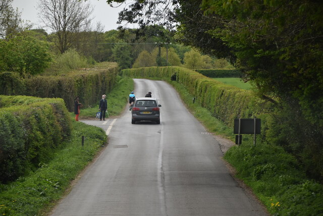
Visitors to Birches Wood can enjoy a leisurely stroll along the well-maintained trails, taking in the natural beauty and tranquility of the surroundings. Whether it's a peaceful retreat or an opportunity to connect with nature, Birches Wood offers a serene escape from the bustling city life.

If you have any feedback on the listing, please let us know in the comments section below.
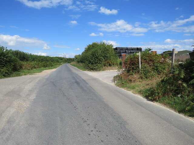
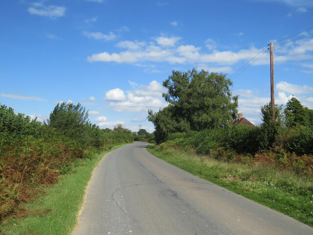
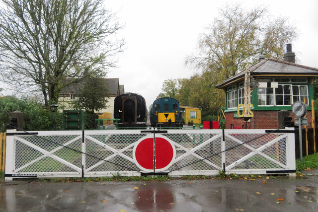
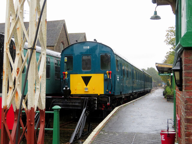
Birches Wood Images

Images are sourced within 2km of 50.930173/0.089366536 or Grid Reference TQ4616. Thanks to Geograph Open Source API. All images are credited.

Worth Oast House Twin round kiln oast house.
Worth Oast House
Twin round kiln oast house.
Harvey's Lane, near Ringmer Harvey's Lane is a minor road through East Sussex countryside.
Harvey's Lane, near Ringmer
Harvey's Lane is a minor road through East Sussex countryside.
Harvey's Lane, near Ringmer Harvey's Lane is a minor road through East Sussex countryside.
Harvey's Lane, near Ringmer
Harvey's Lane is a minor road through East Sussex countryside.
Harvey's Lane, near Uckfield Harvey's Lane is a minor lane through East Sussex countryside.
Harvey's Lane, near Uckfield
Harvey's Lane is a minor lane through East Sussex countryside.
Bentley Estate, near Uckfield The entrance gate to Bentley Estate, in East Sussex.  The estate includes a motor museum, a miniature railway and a wildfowl park.
Bentley Estate, near Uckfield
The entrance gate to Bentley Estate, in East Sussex. The estate includes a motor museum, a miniature railway and a wildfowl park.
Road junction near Uckfield A minor road junction in East Sussex countryside, near the town of Uckfield.
Road junction near Uckfield
A minor road junction in East Sussex countryside, near the town of Uckfield.
Harvey's Lane, near Uckfield Harvey's Lane is a minor road through East Sussex countryside.
Harvey's Lane, near Uckfield
Harvey's Lane is a minor road through East Sussex countryside.
Driveway near Uckfield A driveway leading to cottages in East Sussex, near the town of Uckfield.  The driveway is a public right of way as a public footpath.
Driveway near Uckfield
A driveway leading to cottages in East Sussex, near the town of Uckfield. The driveway is a public right of way as a public footpath.
Harvey's Lane, near Uckfield Harvey's Lane is a minor road through East Sussex countryside.  The wooden signposts to the right of the road indicate the route of a public footpath which crosses the road here.
Harvey's Lane, near Uckfield
Harvey's Lane is a minor road through East Sussex countryside. The wooden signposts to the right of the road indicate the route of a public footpath which crosses the road here.
Harvey's Lane, near Uckfield Harvey's Lane is a minor road through East Sussex countryside.
Harvey's Lane, near Uckfield
Harvey's Lane is a minor road through East Sussex countryside.
Isfield station on the Lavender Line
Thumper at Isfield Class 205 'thumper' unit No. 1118 is seen stabled at Isfield station on the Lavender Line.
Thumper at Isfield
Class 205 'thumper' unit No. 1118 is seen stabled at Isfield station on the Lavender Line.
The Old Toll House
The Old Toll House
A26 The A26 is a 50 mile route from Maidstone to Newhaven via Tunbridge Wells. <span class="nowrap"><a title="http://www.sabre-roads.org.uk/wiki/index.php?title=A26" rel="nofollow ugc noopener" href="http://www.sabre-roads.org.uk/wiki/index.php?title=A26">Link</a><img style="margin-left:2px;" alt="External link" title="External link - shift click to open in new window" src="https://s1.geograph.org.uk/img/external.png" width="10" height="10"/></span>
A26
The A26 is a 50 mile route from Maidstone to Newhaven via Tunbridge Wells. LinkExternal link
Entering Isfield, Horsted Lane Isfield lies just off the main A26 Uckfield to Lewes main road, and is well hidden in the Ouse valley. The Romans established a staging post in the village, near a ford across the Ouse, this was on a section of Ermine Street which ran from Newhaven to London, passing through Lewes and Isfield and Maresfield. The village was recorded as Sifelle in the Domesday book.
More info at <span class="nowrap"><a title="http://www.villagenet.co.uk/ashdownforest/villages/isfield.php" rel="nofollow ugc noopener" href="http://www.villagenet.co.uk/ashdownforest/villages/isfield.php">Link</a><img style="margin-left:2px;" alt="External link" title="External link - shift click to open in new window" src="https://s1.geograph.org.uk/img/external.png" width="10" height="10"/></span>
Entering Isfield, Horsted Lane
Isfield lies just off the main A26 Uckfield to Lewes main road, and is well hidden in the Ouse valley. The Romans established a staging post in the village, near a ford across the Ouse, this was on a section of Ermine Street which ran from Newhaven to London, passing through Lewes and Isfield and Maresfield. The village was recorded as Sifelle in the Domesday book. More info at LinkExternal link
Isfield Signalbox Signalboxes are used in Britain to control the safe movement of trains across the railway network. Most are located either just outside stations or at junctions.
Wikipedia: <span class="nowrap"><a title="http://en.wikipedia.org/wiki/Signalling_control" rel="nofollow ugc noopener" href="http://en.wikipedia.org/wiki/Signalling_control">Link</a><img style="margin-left:2px;" alt="External link" title="External link - shift click to open in new window" src="https://s1.geograph.org.uk/img/external.png" width="10" height="10"/></span>
Isfield Signalbox
Signalboxes are used in Britain to control the safe movement of trains across the railway network. Most are located either just outside stations or at junctions. Wikipedia: LinkExternal link
Lewes Rd
Lewes Rd
Show me another place!

Birches Wood is located at Grid Ref: TQ4616 (Lat: 50.930173, Lng: 0.089366536)

Administrative County: East Sussex

District: Wealden

Police Authority: Sussex

What 3 Words

///heeding.glows.private. Near Uckfield, East Sussex

Related Wikis

Plashett Park Wood

Plashett Park Wood is a 157.6-hectare (389-acre) biological Site of Special Scientific Interest between Lewes and Uckfield in East Sussex.This ancient...

East Sussex National Golf Club

East Sussex National Golf Club is a golf course located near to Uckfield in East Sussex. It is considered one of the finer golf courses in the British...

Bentley Wildfowl and Motor Museum

The Bentley Wildfowl and Motor Museum was a visitor attraction near Halland, East Sussex, England. As of October 2018, it is closed to the public. ��2...

Lavender Line

The Lavender Line is a heritage railway based at Isfield Station, near Uckfield in East Sussex, England. == History == The Lavender Line was originally...

Isfield railway station

Isfield is a preserved railway station on the closed section of the Wealden Line which served the East Sussex village of Isfield near Uckfield. Originally...

Horsted Place

Horsted Place is a Tudor Revival country house, now a hotel, in Little Horsted, East Sussex, England. The current building dates to 1850, when it was built...
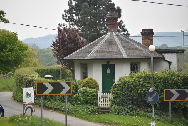
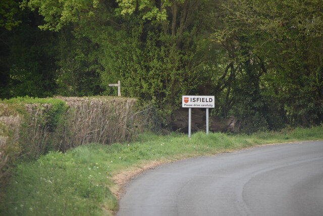
Isfield

Isfield is a small village and civil parish in the Wealden District of East Sussex in England, located north-east of Lewes. == History == The village of...

Little Horsted

Little Horsted (also known as Horsted Parva) is a village and civil parish in the Wealden district of East Sussex, England. It is located two miles (3...

Nearby Amenities

Located within 500m of 50.930173,0.089366536
Material: wood
Power: pole
Source: bing
Lat/Long: 50.9320618/0.0950266
Material: wood
Power: pole
Source: bing
Lat/Long: 50.9326363/0.0935788
Material: wood
Power: pole
Source: bing
Lat/Long: 50.9334503/0.0916452
Material: wood
Power: pole
Source: bing
Lat/Long: 50.9336024/0.0912951
Material: wood
Power: pole
Source: bing
Lat/Long: 50.9340288/0.0902589
Material: wood
Power: pole
Source: bing
Lat/Long: 50.9344602/0.0887717
South Brockwells Farm
Addr City: Uckfield
Addr Postcode: TN22 5QS
Addr Street: Bradfords Lane
Addr Village: Little Horsted
Phone: +44 1825 750466
Place: farm
Lat/Long: 50.9334315/0.0864709
Barrier: stile
Stile: stepover
Lat/Long: 50.9333041/0.0892639
Barrier: stile
Lat/Long: 50.932435/0.0886363
The data included in this document is from www.openstreetmap.org. The data is made available under ODbL.

Have you been to Birches Wood?

Leave your review of Birches Wood below (or comments, questions and feedback).