Rowland's Shaw

Wood, Forest in Sussex Wealden

England

Rowland's Shaw

The Oast House Single square kiln oast house.
The Oast House Credit: N Chadwick

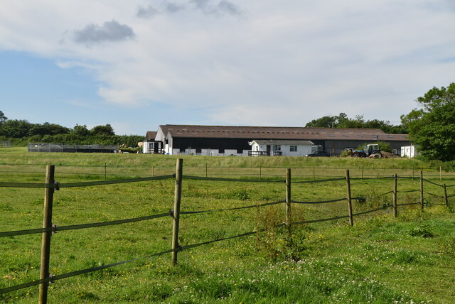
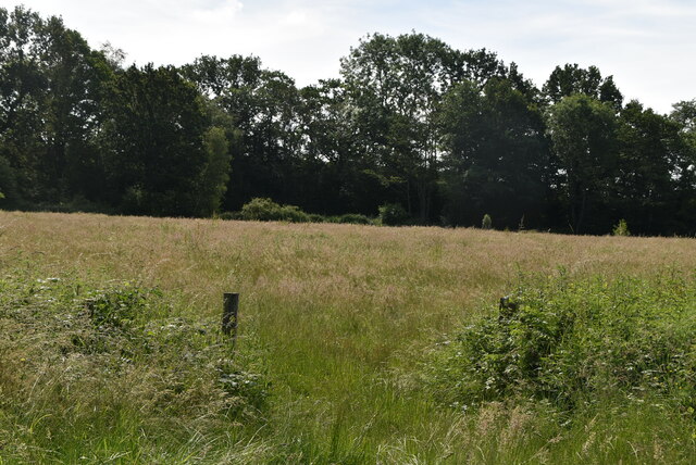
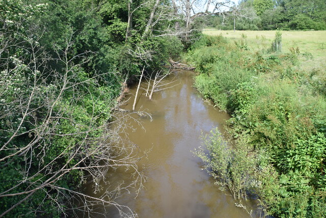
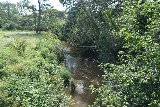
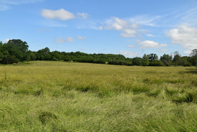
Rowland's Shaw is a picturesque woodland located in Sussex, England. Nestled within the expansive forest, this enchanting spot is a haven for nature enthusiasts and those seeking tranquility amidst the beauty of the countryside. The woodland is known for its dense canopy of trees, primarily consisting of oak, beech, and birch.

Covering an area of approximately 50 acres, Rowland's Shaw offers a myriad of walking trails and paths that wind through the forest, allowing visitors to explore its hidden corners and discover its diverse flora and fauna. The woodland floor is adorned with a colorful carpet of wildflowers, adding to the natural charm of the area.

Wildlife thrives within Rowland's Shaw, with sightings of deer, foxes, and various bird species being common occurrences. The serene atmosphere and abundance of natural resources make it an ideal habitat for these creatures to flourish.

In addition to its natural beauty, Rowland's Shaw also holds historical significance. The woodland is believed to have been in existence for centuries and has witnessed the passage of time. Ancient ruins, believed to be remnants of a medieval settlement, can be found tucked away amongst the trees, offering a glimpse into the area's rich past.

Rowland's Shaw is a popular destination for nature walks, picnics, and photography enthusiasts. Its idyllic setting and tranquil ambiance make it a perfect escape from the hustle and bustle of modern life, allowing visitors to reconnect with nature and breathe in the fresh woodland air.

If you have any feedback on the listing, please let us know in the comments section below.

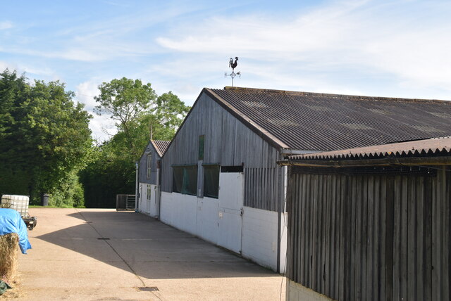
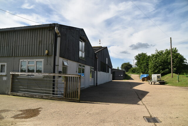
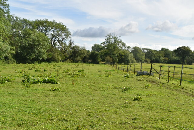
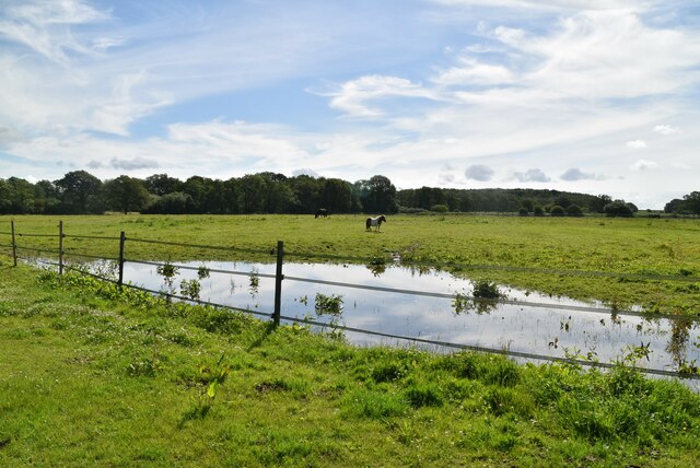
Rowland's Shaw Images

Images are sourced within 2km of 50.932921/0.079000582 or Grid Reference TQ4616. Thanks to Geograph Open Source API. All images are credited.

The Oast House Single square kiln oast house.
The Oast House
Single square kiln oast house.
Isfield Village Hall Isfield lies just off the main A26 Uckfield to Lewes main road, and is well hidden in the Ouse valley. The Romans established a staging post in the village, near a ford across the Ouse, this was on a section of Ermine Street which ran from Newhaven to London, passing through Lewes and Isfield and Maresfield. The village was recorded as Sifelle in the Domesday book.
More info at <span class="nowrap"><a title="http://www.villagenet.co.uk/ashdownforest/villages/isfield.php" rel="nofollow ugc noopener" href="http://www.villagenet.co.uk/ashdownforest/villages/isfield.php">Link</a><img style="margin-left:2px;" alt="External link" title="External link - shift click to open in new window" src="https://s1.geograph.org.uk/img/external.png" width="10" height="10"/></span>
Isfield Village Hall
Isfield lies just off the main A26 Uckfield to Lewes main road, and is well hidden in the Ouse valley. The Romans established a staging post in the village, near a ford across the Ouse, this was on a section of Ermine Street which ran from Newhaven to London, passing through Lewes and Isfield and Maresfield. The village was recorded as Sifelle in the Domesday book. More info at LinkExternal link
Station Rd Isfield lies just off the main A26 Uckfield to Lewes main road, and is well hidden in the Ouse valley. The Romans established a staging post in the village, near a ford across the Ouse, this was on a section of Ermine Street which ran from Newhaven to London, passing through Lewes and Isfield and Maresfield. The village was recorded as Sifelle in the Domesday book.
More info at <span class="nowrap"><a title="http://www.villagenet.co.uk/ashdownforest/villages/isfield.php" rel="nofollow ugc noopener" href="http://www.villagenet.co.uk/ashdownforest/villages/isfield.php">Link</a><img style="margin-left:2px;" alt="External link" title="External link - shift click to open in new window" src="https://s1.geograph.org.uk/img/external.png" width="10" height="10"/></span>
Station Rd
Isfield lies just off the main A26 Uckfield to Lewes main road, and is well hidden in the Ouse valley. The Romans established a staging post in the village, near a ford across the Ouse, this was on a section of Ermine Street which ran from Newhaven to London, passing through Lewes and Isfield and Maresfield. The village was recorded as Sifelle in the Domesday book. More info at LinkExternal link
Track in Isfield
Track in Isfield
Faulkners
Faulkners
Pasture
Pasture
Tile Barn Farmhouse
Tile Barn Farmhouse
Tile Barn Farm
Tile Barn Farm
Tile Barn Farm
Tile Barn Farm
A green lane
A green lane
Grassy footpath
Grassy footpath
A small pond
A small pond
Tile Barn Farm
Tile Barn Farm
Meadow
Meadow
Meadow
Meadow
River Uck The River Uck is a river in East Sussex, which drains a catchment starting near Crowborough in the North, Hadlow Down to the East and Laughton Common to the South.It flows through the town of Uckfield and into the river Ouse about 3 miles north of Lewes. The river Uck also has a scenic walk alongside it. The river burst its banks in 2000, flooding much of Uckfield and the surrounding countryside.
River Uck
The River Uck is a river in East Sussex, which drains a catchment starting near Crowborough in the North, Hadlow Down to the East and Laughton Common to the South.It flows through the town of Uckfield and into the river Ouse about 3 miles north of Lewes. The river Uck also has a scenic walk alongside it. The river burst its banks in 2000, flooding much of Uckfield and the surrounding countryside.
Meadow by the River Uck
Show me another place!

Rowland's Shaw is located at Grid Ref: TQ4616 (Lat: 50.932921, Lng: 0.079000582)

Administrative County: East Sussex

District: Wealden

Police Authority: Sussex

What 3 Words

///workflow.crunch.waking. Near Uckfield, East Sussex

Related Wikis

Lavender Line

The Lavender Line is a heritage railway based at Isfield Station, near Uckfield in East Sussex, England. == History == The Lavender Line was originally...

Isfield railway station

Isfield is a preserved railway station on the closed section of the Wealden Line which served the East Sussex village of Isfield near Uckfield. Originally...

Plashett Park Wood

Plashett Park Wood is a 157.6-hectare (389-acre) biological Site of Special Scientific Interest between Lewes and Uckfield in East Sussex.This ancient...

Isfield

Isfield is a small village and civil parish in the Wealden District of East Sussex in England, located north-east of Lewes. == History == The village of...

Horsted Place

Horsted Place is a Tudor Revival country house, now a hotel, in Little Horsted, East Sussex, England. The current building dates to 1850, when it was built...

East Sussex National Golf Club

East Sussex National Golf Club is a golf course located near to Uckfield in East Sussex. It is considered one of the finer golf courses in the British...

River Uck

The River Uck is a river in East Sussex, United Kingdom, which drains a catchment starting near Crowborough in the North, Hadlow Down to the East and Laughton...

Little Horsted

Little Horsted (also known as Horsted Parva) is a village and civil parish in the Wealden district of East Sussex, England. It is located two miles (3...

Nearby Amenities

Located within 500m of 50.932921,0.079000582
Material: wood
Power: pole
Source: bing
Lat/Long: 50.9285108/0.0799905
Material: wood
Power: pole
Source: bing
Lat/Long: 50.9289634/0.0815607
Material: wood
Power: pole
Source: bing
Lat/Long: 50.9298744/0.0815874
Material: wood
Power: pole
Source: bing
Lat/Long: 50.9308078/0.0816209
Material: wood
Power: pole
Source: bing
Lat/Long: 50.933678/0.0816936
Material: wood
Power: pole
Source: bing
Lat/Long: 50.9353149/0.0827598
Material: wood
Power: pole
Source: bing
Lat/Long: 50.9353855/0.0845151
Material: wood
Power: pole
Source: bing
Lat/Long: 50.9355614/0.0829758
Material: wood
Power: pole
Source: bing
Lat/Long: 50.9357413/0.0812757
Material: wood
Power: pole
Source: bing
Lat/Long: 50.9358833/0.0801401
Material: wood
Power: pole
Source: bing
Lat/Long: 50.9359886/0.0790756
Material: wood
Power: pole
Source: bing
Lat/Long: 50.9369544/0.0798315
Barrier: stile
Lat/Long: 50.9328056/0.0735083
Post Box
Collection Times: Mo-Fr 09:00, Sa 07:00
Operator: Royal Mail
Post Box Type: lamp
Ref: TN22 90
Royal Cypher: EIIR
Royal Cypher Wikidata: Q33102113
Lat/Long: 50.9365314/0.0788564
Bus Stop
Horsted Lane
Bench: no
Bin: no
Lit: no
Public Transport: platform
Shelter: no
Tactile Paving: no
Lat/Long: 50.9365685/0.0788867
Bus Stop
Horsted Lane
Bench: no
Bin: no
Lit: no
Naptan AtcoCode: 1400WE10074
Naptan NaptanCode: esudgtpm
Public Transport: platform
Shelter: no
Tactile Paving: no
Lat/Long: 50.9365582/0.079039
Brook Lodge Farm
Place: farm
Source Name: OS_OpenData_Streetview
Lat/Long: 50.9321597/0.0758985
The data included in this document is from www.openstreetmap.org. The data is made available under ODbL.

Have you been to Rowland's Shaw?

Leave your review of Rowland's Shaw below (or comments, questions and feedback).