Peter's Wood

Wood, Forest in Sussex Wealden

England

Peter's Wood

Cottage near Holtye, Kent/Sussex border This cottage stands on the site of an old ironworks. The road runs across the dam that supplied the water to power the bellows that worked the furnace.
Cottage near Holtye, Kent/Sussex border Credit: Ron Strutt

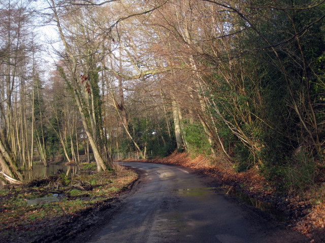
Peter's Wood is a picturesque forest located in Sussex, England. Covering an area of approximately 100 hectares, it is a popular destination for nature enthusiasts, hikers, and wildlife lovers. The wood is named after Peter, a local landowner who generously donated the land to the community for recreational purposes.

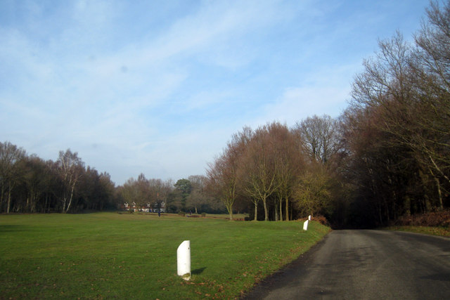
The wood is characterized by its diverse range of tree species, including oak, beech, and ash, which create a stunning canopy overhead. The dense foliage provides a habitat for a wide variety of wildlife, such as deer, foxes, badgers, and numerous bird species. Nature enthusiasts can enjoy birdwatching or try their luck spotting elusive woodland creatures.

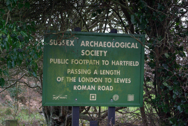
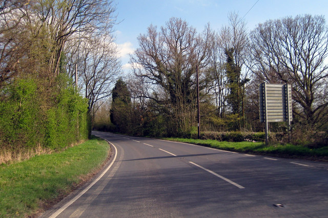
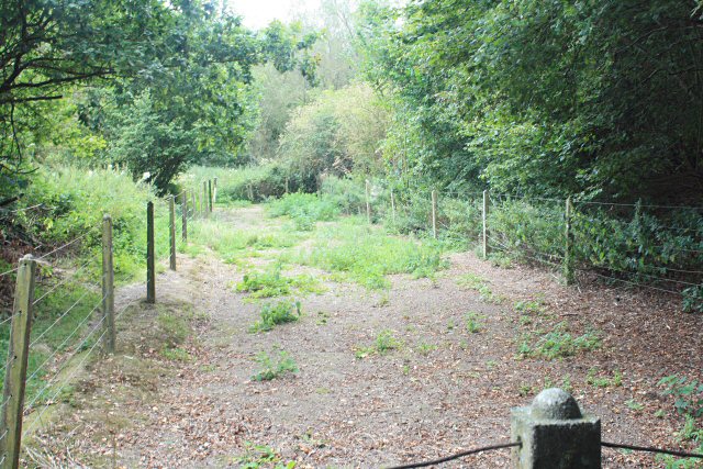
Several well-maintained trails wind through the wood, offering visitors the opportunity to immerse themselves in nature and enjoy the peaceful surroundings. These paths cater to different fitness levels, ensuring that everyone can explore the wood at their own pace. Along the trails, there are informative signs that provide details about the flora and fauna found in the area, enhancing the educational aspect of the visit.

Peter's Wood is also a great place for recreational activities, with designated picnic areas and space for outdoor games. Families often visit the wood to enjoy a day out in nature, while others take advantage of the serene atmosphere for meditation or yoga sessions.

Overall, Peter's Wood in Sussex offers a tranquil and captivating natural environment for all who visit, making it a must-see destination for nature lovers and those seeking a peaceful retreat.

If you have any feedback on the listing, please let us know in the comments section below.
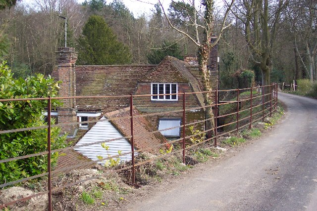
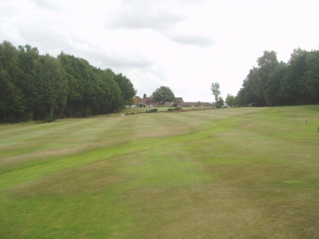
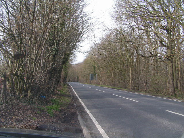
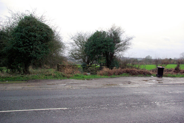
Peter's Wood Images

Images are sourced within 2km of 51.135442/0.088170585 or Grid Reference TQ4639. Thanks to Geograph Open Source API. All images are credited.

Cottage near Holtye, Kent/Sussex border This cottage stands on the site of an old ironworks. The road runs across the dam that supplied the water to power the bellows that worked the furnace.
Cottage near Holtye, Kent/Sussex border
This cottage stands on the site of an old ironworks. The road runs across the dam that supplied the water to power the bellows that worked the furnace.
Roman road near Holtye Near Holtye a section of the Roman road from London to Lewes was excavated and bought for preservation by the Sussex Archaeological Society.
Roman road near Holtye
Near Holtye a section of the Roman road from London to Lewes was excavated and bought for preservation by the Sussex Archaeological Society.
Holtye Golf Club Dating from 1893 and originally called the Liliput it is a 9 hole doubling to 18 holes testing course. <span class="nowrap"><a title="www.holtye.com" rel="nofollow ugc noopener" href="http://www.holtye.com">Link</a><img style="margin-left:2px;" alt="External link" title="External link - shift click to open in new window" src="https://s1.geograph.org.uk/img/external.png" width="10" height="10"/></span>
Holtye Golf Club
Dating from 1893 and originally called the Liliput it is a 9 hole doubling to 18 holes testing course. LinkExternal link
Cansiron / Butcherfield Lane, Hartfield On the right angled corner looking east along Butcherfield Lane and at the entrance (behind) to Great Cansiron Farm
Cansiron / Butcherfield Lane, Hartfield
On the right angled corner looking east along Butcherfield Lane and at the entrance (behind) to Great Cansiron Farm
Bassett's Manor fields Looking south west over the farm buildings towards the distant sunshine
Bassett's Manor fields
Looking south west over the farm buildings towards the distant sunshine
The Road to Edenbridge (B2026) The B2026 runs 20 miles north - south from Westerham to Maresfield, via Edenbridge. It crosses Ashdown Forest.
<span class="nowrap"><a title="http://www.sabre-roads.org.uk/wiki/index.php?title=B2026" rel="nofollow ugc noopener" href="http://www.sabre-roads.org.uk/wiki/index.php?title=B2026">Link</a><img style="margin-left:2px;" alt="External link" title="External link - shift click to open in new window" src="https://s1.geograph.org.uk/img/external.png" width="10" height="10"/></span>
The Road to Edenbridge (B2026)
The B2026 runs 20 miles north - south from Westerham to Maresfield, via Edenbridge. It crosses Ashdown Forest. LinkExternal link
A264 crossing of London-Lewes Roman Road The start of a footpath which passes further downhill a preserved section of Roman Road. The sign draws attention to this.
A264 crossing of London-Lewes Roman Road
The start of a footpath which passes further downhill a preserved section of Roman Road. The sign draws attention to this.
Roman Road sign on A264 A sign at the start of a path which passes a preserved section of Roman Road.
Roman Road sign on A264
A sign at the start of a path which passes a preserved section of Roman Road.
Cansiron Lane A snowy morning.
Cansiron Lane
A snowy morning.
B2026 by Tye Farm Cottages A snowy morning, but a well salted road.
B2026 by Tye Farm Cottages
A snowy morning, but a well salted road.
Red Telephone Box at B2026 crossroads near Holtye Red K6 telephone box at A264/B2026 crossroads near Holtye.
Red Telephone Box at B2026 crossroads near Holtye
Red K6 telephone box at A264/B2026 crossroads near Holtye.
The Oast, Bassetts Manor, Buctherfield Lane, Hartfield, East Sussex
Golf Course near Cowden
House adjacent Golf Club
Lane near Cowden, Kent
Colestock Garage On B2026
Colestock Garage
On B2026
Edenbridge Road Towards Hartfield.
Edenbridge Road
Towards Hartfield.
Preserved Roman Road Part of a Roman Road fenced off by a local Archaeological Society, apparently its sprayed (with what, no idea!) to prevent becoming overgrown - another reason for the fence.
Preserved Roman Road
Part of a Roman Road fenced off by a local Archaeological Society, apparently its sprayed (with what, no idea!) to prevent becoming overgrown - another reason for the fence.
Show me another place!

Peter's Wood is located at Grid Ref: TQ4639 (Lat: 51.135442, Lng: 0.088170585)

Administrative County: East Sussex

District: Wealden

Police Authority: Sussex

What 3 Words

///novel.pipes.birds. Near Forest Row, East Sussex

Related Wikis

Cowden

Cowden () is a small village and civil parish in the Sevenoaks District of Kent, England. The parish is located on the northern slopes of the Weald, south...

London to Lewes Way

The London to Lewes Way is a 71 kilometres (44 mi) long Roman road between Watling Street at Peckham and Lewes in Sussex. The road passes through Beckenham...

Bassetts Manor

Bassetts Manor is a Grade II-listed building in Hartfield, East Sussex, England. == Location == The manor is located North of the village of Hartfield...

Hammerwood Park

Hammerwood Park is a country house in Hammerwood, near East Grinstead, in East Sussex, England. It is a Grade I listed building. One of the first houses...

Bolebroke Castle

Bolebroke Castle is a 15th-century hunting lodge located north of the village of Hartfield, East Sussex, England. It is a Grade II* listed building.The...

Bolebroke Castle Miniature Railway

The Bolebroke Castle Miniature Railway or Bolebroke Castle and Lakes Railway (often abbreviated to BC&LR) was a 7+1⁄4 inches (180 mm) railway that ran...

Hammerwood

Hammerwood is a hamlet in the civil parish of Forest Row in East Sussex, England. Its nearest town is East Grinstead, which lies approximately 3.5 miles...

Cowden rail crash

The Cowden rail crash occurred on 15 October 1994, near Cowden Station in Kent (UK), when two trains collided head-on, killing five and injuring thirteen...

Nearby Amenities

Located within 500m of 51.135442,0.088170585
Barrier: stile
Bicycle: no
Foot: yes
Material: wood
Source: survey
Stile: stepover
Lat/Long: 51.133203/0.0882831
Post Box
Collection Times: Mo-Fr 09:00; Sa 07:00; Su off
Colour: red
Ref: TN8 230
Royal Cypher: VR
Lat/Long: 51.1352566/0.0815561
The data included in this document is from www.openstreetmap.org. The data is made available under ODbL.

Have you been to Peter's Wood?

Leave your review of Peter's Wood below (or comments, questions and feedback).