Heathersome's Wood

Wood, Forest in Sussex Wealden

England

Heathersome's Wood

Cottage near Holtye, Kent/Sussex border This cottage stands on the site of an old ironworks. The road runs across the dam that supplied the water to power the bellows that worked the furnace.
Cottage near Holtye, Kent/Sussex border Credit: Ron Strutt

Heathersome's Wood is a picturesque woodland located in the county of Sussex, England. Covering an area of approximately 100 acres, this enchanting forest is known for its natural beauty and rich biodiversity. The wood is situated in close proximity to the village of Heathersome, which lends its name to the woodland.

Heathersome's Wood is characterized by its dense canopy of towering trees, predominantly consisting of oak, beech, and ash. The woodland floor is adorned with a vibrant carpet of bluebells and other wildflowers during the spring season, creating a stunning display of colors. The ancient and well-preserved trees provide a haven for a diverse range of wildlife, including numerous bird species, squirrels, badgers, and deer.

Visitors to Heathersome's Wood can explore its winding pathways and trails, which crisscross through the forest, offering breathtaking views and opportunities for peaceful walks. The wood is a popular destination for nature enthusiasts, birdwatchers, and photographers, who flock here to capture the beauty of the natural surroundings.

The wood is managed by a local conservation group that ensures the protection and preservation of its unique ecosystem. They organize guided walks and educational programs, allowing visitors to learn more about the woodland's flora and fauna, as well as its role in the local ecosystem.

Heathersome's Wood is a true gem of Sussex, offering a tranquil escape from the hustle and bustle of everyday life, and providing a sanctuary for both nature and those who seek solace in its serene surroundings.

If you have any feedback on the listing, please let us know in the comments section below.

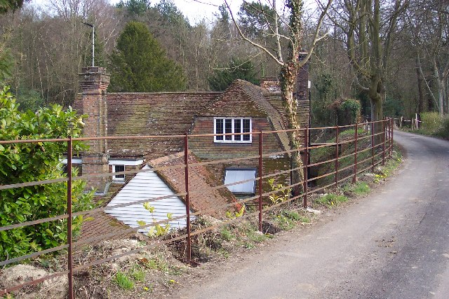
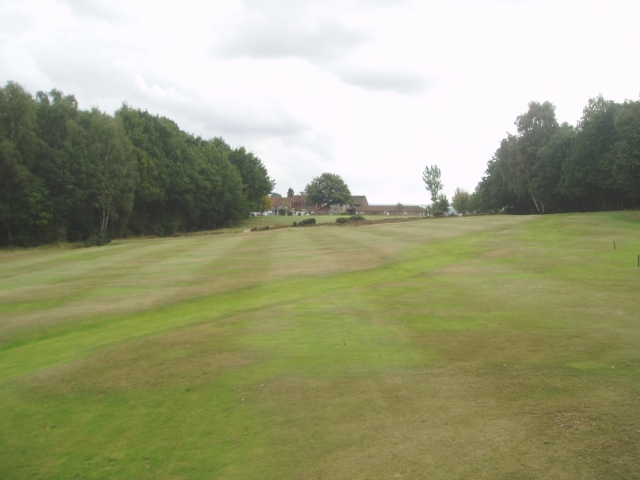
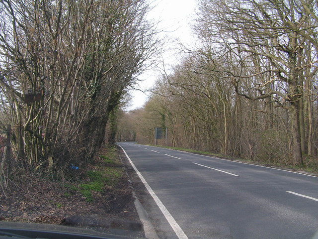
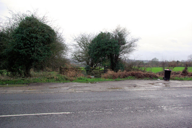
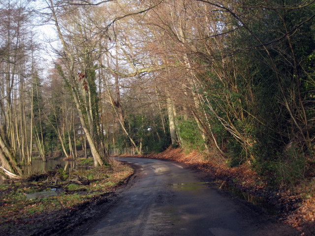
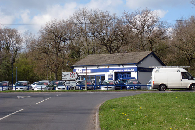
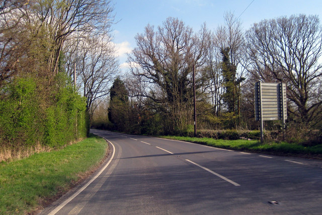
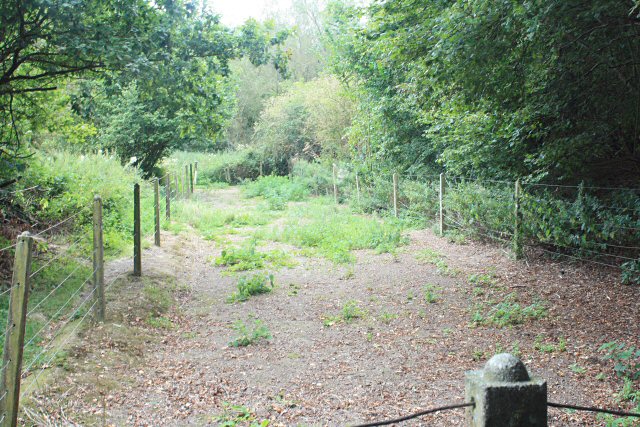
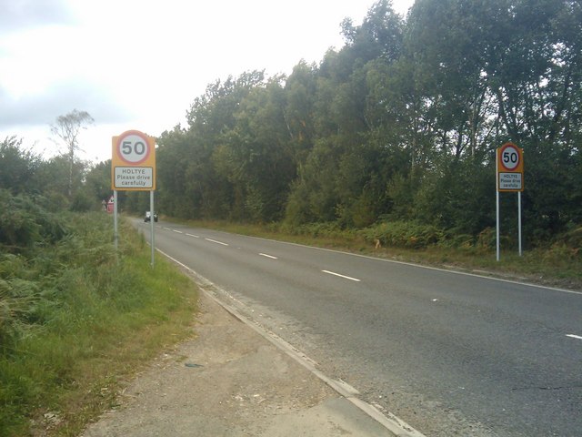
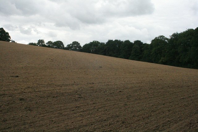
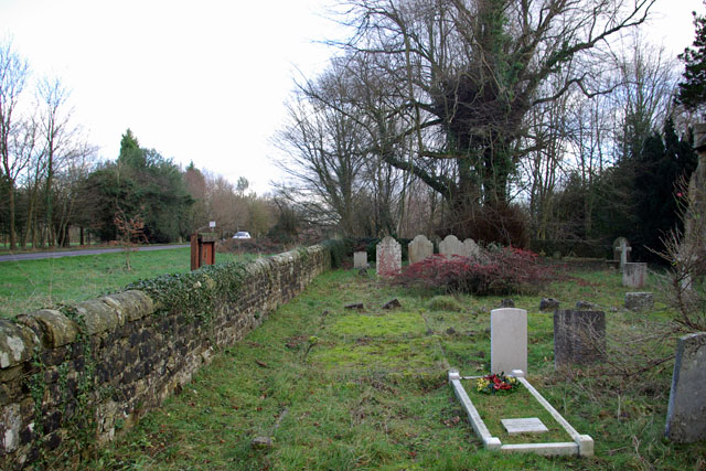
Heathersome's Wood Images

Images are sourced within 2km of 51.138472/0.095755194 or Grid Reference TQ4639. Thanks to Geograph Open Source API. All images are credited.

Cottage near Holtye, Kent/Sussex border This cottage stands on the site of an old ironworks. The road runs across the dam that supplied the water to power the bellows that worked the furnace.
Cottage near Holtye, Kent/Sussex border
This cottage stands on the site of an old ironworks. The road runs across the dam that supplied the water to power the bellows that worked the furnace.
Roman road near Holtye Near Holtye a section of the Roman road from London to Lewes was excavated and bought for preservation by the Sussex Archaeological Society.
Roman road near Holtye
Near Holtye a section of the Roman road from London to Lewes was excavated and bought for preservation by the Sussex Archaeological Society.
Holtye Golf Club Dating from 1893 and originally called the Liliput it is a 9 hole doubling to 18 holes testing course. <span class="nowrap"><a title="www.holtye.com" rel="nofollow ugc noopener" href="http://www.holtye.com">Link</a><img style="margin-left:2px;" alt="External link" title="External link - shift click to open in new window" src="https://s1.geograph.org.uk/img/external.png" width="10" height="10"/></span>
Holtye Golf Club
Dating from 1893 and originally called the Liliput it is a 9 hole doubling to 18 holes testing course. LinkExternal link
The Road to Edenbridge (B2026) The B2026 runs 20 miles north - south from Westerham to Maresfield, via Edenbridge. It crosses Ashdown Forest.
<span class="nowrap"><a title="http://www.sabre-roads.org.uk/wiki/index.php?title=B2026" rel="nofollow ugc noopener" href="http://www.sabre-roads.org.uk/wiki/index.php?title=B2026">Link</a><img style="margin-left:2px;" alt="External link" title="External link - shift click to open in new window" src="https://s1.geograph.org.uk/img/external.png" width="10" height="10"/></span>
The Road to Edenbridge (B2026)
The B2026 runs 20 miles north - south from Westerham to Maresfield, via Edenbridge. It crosses Ashdown Forest. LinkExternal link
A264 crossing of London-Lewes Roman Road The start of a footpath which passes further downhill a preserved section of Roman Road. The sign draws attention to this.
A264 crossing of London-Lewes Roman Road
The start of a footpath which passes further downhill a preserved section of Roman Road. The sign draws attention to this.
Roman Road sign on A264 A sign at the start of a path which passes a preserved section of Roman Road.
Roman Road sign on A264
A sign at the start of a path which passes a preserved section of Roman Road.
Cansiron Lane A snowy morning.
Cansiron Lane
A snowy morning.
B2026 by Tye Farm Cottages A snowy morning, but a well salted road.
B2026 by Tye Farm Cottages
A snowy morning, but a well salted road.
Red Telephone Box at B2026 crossroads near Holtye Red K6 telephone box at A264/B2026 crossroads near Holtye.
Red Telephone Box at B2026 crossroads near Holtye
Red K6 telephone box at A264/B2026 crossroads near Holtye.
Golf Course near Cowden
House adjacent Golf Club
Lane near Cowden, Kent
Colestock Garage On B2026
Colestock Garage
On B2026
Edenbridge Road Towards Hartfield.
Edenbridge Road
Towards Hartfield.
Preserved Roman Road Part of a Roman Road fenced off by a local Archaeological Society, apparently its sprayed (with what, no idea!) to prevent becoming overgrown - another reason for the fence.
Preserved Roman Road
Part of a Roman Road fenced off by a local Archaeological Society, apparently its sprayed (with what, no idea!) to prevent becoming overgrown - another reason for the fence.
New 50mph Speed Limit Signs The start (or end!) of where the A264 is now limited to 50mph, if remember correctly all the way back to East Grinstead.
New 50mph Speed Limit Signs
The start (or end!) of where the A264 is now limited to 50mph, if remember correctly all the way back to East Grinstead.
Recently tilled fields A number of fields in the area which look to have recently been worked
Recently tilled fields
A number of fields in the area which look to have recently been worked
Churchyard, Holtye St Peters The church is now redundant and being sold for private occupancy. No more burials will be made.
Churchyard, Holtye St Peters
The church is now redundant and being sold for private occupancy. No more burials will be made.
Show me another place!

Heathersome's Wood is located at Grid Ref: TQ4639 (Lat: 51.138472, Lng: 0.095755194)

Administrative County: East Sussex

District: Wealden

Police Authority: Sussex

What 3 Words

///later.enhancement.link. Near Edenbridge, Kent

Related Wikis

Cowden

Cowden () is a small village and civil parish in the Sevenoaks District of Kent, England. The parish is located on the northern slopes of the Weald, south...
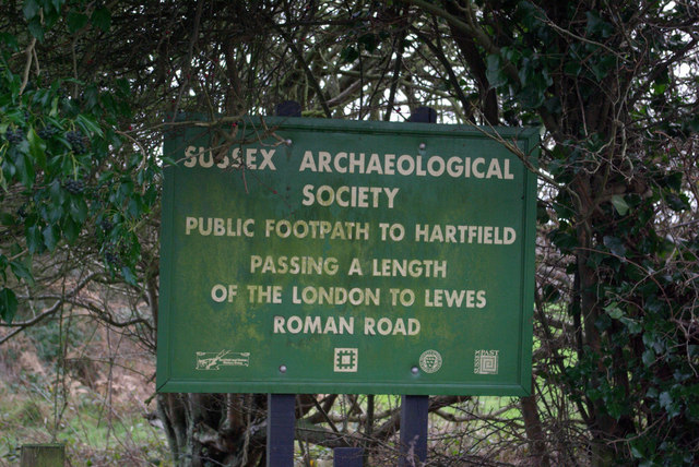
London to Lewes Way

The London to Lewes Way is a 71 kilometres (44 mi) long Roman road between Watling Street at Peckham and Lewes in Sussex. The road passes through Beckenham...

Cowden rail crash

The Cowden rail crash occurred on 15 October 1994, near Cowden Station in Kent (UK), when two trains collided head-on, killing five and injuring thirteen...
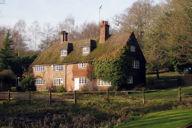
Bassetts Manor

Bassetts Manor is a Grade II-listed building in Hartfield, East Sussex, England. == Location == The manor is located North of the village of Hartfield...

Cowden Meadow

Cowden Meadow is a 1.1-hectare (2.7-acre) biological Site of Special Scientific Interest east of Cowden in Kent.This site has flora which are found on...

Bolebroke Castle

Bolebroke Castle is a 15th-century hunting lodge located north of the village of Hartfield, East Sussex, England. It is a Grade II* listed building.The...

Cowden railway station

Cowden railway station is on the Uckfield branch of the Oxted line in southern England and serves Cowden in Kent. It is 29 miles 26 chains (29.33 miles...

Bolebroke Castle Miniature Railway

The Bolebroke Castle Miniature Railway or Bolebroke Castle and Lakes Railway (often abbreviated to BC&LR) was a 7+1⁄4 inches (180 mm) railway that ran...

Nearby Amenities

Located within 500m of 51.138472,0.095755194
Barrier: stile
Lat/Long: 51.1415462/0.0964673
Barrier: stile
Lat/Long: 51.1420139/0.0995149
Barrier: stile
Lat/Long: 51.1421248/0.0937471
The data included in this document is from www.openstreetmap.org. The data is made available under ODbL.

Have you been to Heathersome's Wood?

Leave your review of Heathersome's Wood below (or comments, questions and feedback).