Long Bottoms Shaw
Wood, Forest in Kent Sevenoaks
England
Long Bottoms Shaw
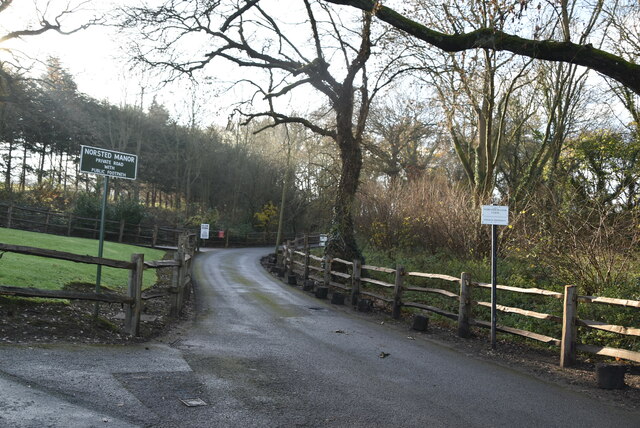
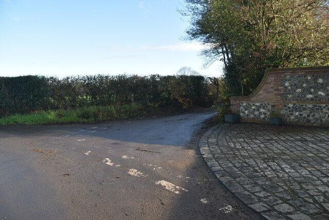
Long Bottoms Shaw, located in Kent, England, is a picturesque woodland area renowned for its natural beauty and tranquil atmosphere. Situated within the larger Kent Downs Area of Outstanding Natural Beauty, this woodland is a haven for nature enthusiasts and those seeking a peaceful retreat.
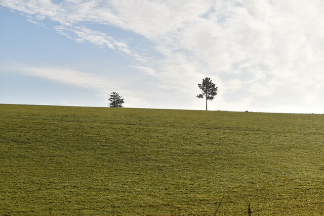
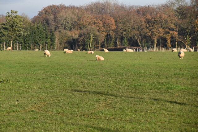
With its dense canopy of ancient trees and lush undergrowth, Long Bottoms Shaw offers visitors a chance to immerse themselves in a truly idyllic setting. The woodland is predominantly composed of native tree species such as oak, beech, and ash, creating a diverse and vibrant ecosystem. The forest floor is carpeted with wildflowers and ferns, adding to the area's enchanting charm.
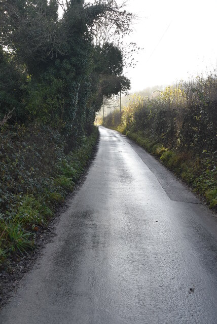
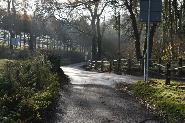
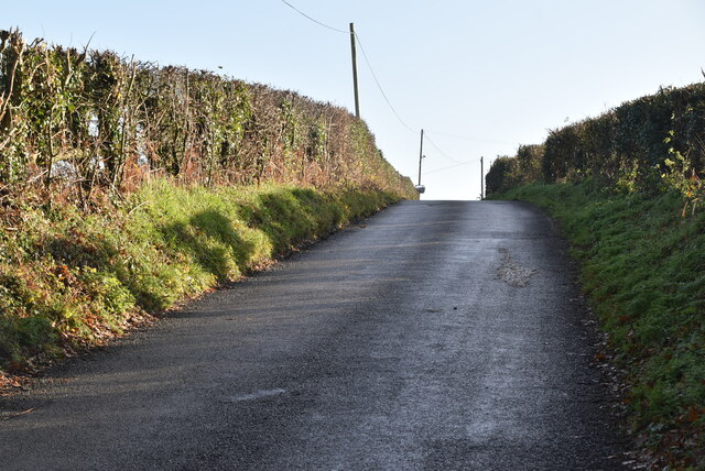
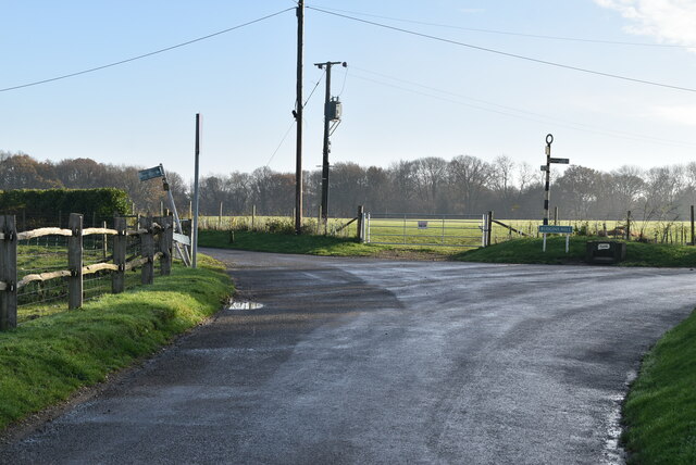
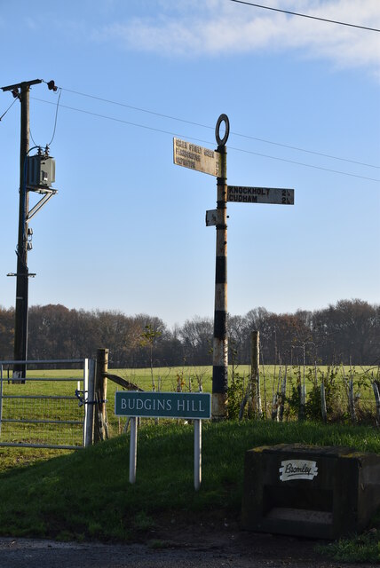
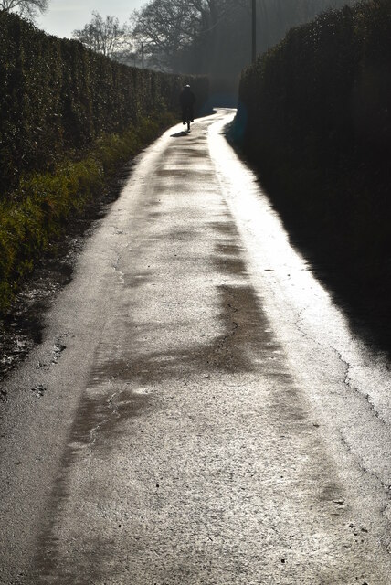
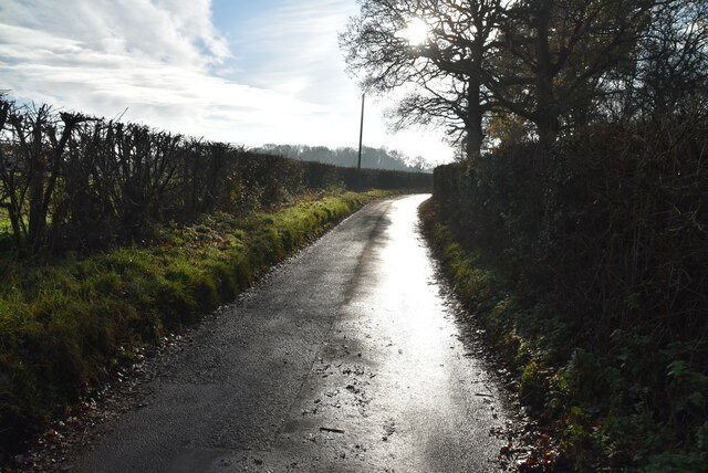
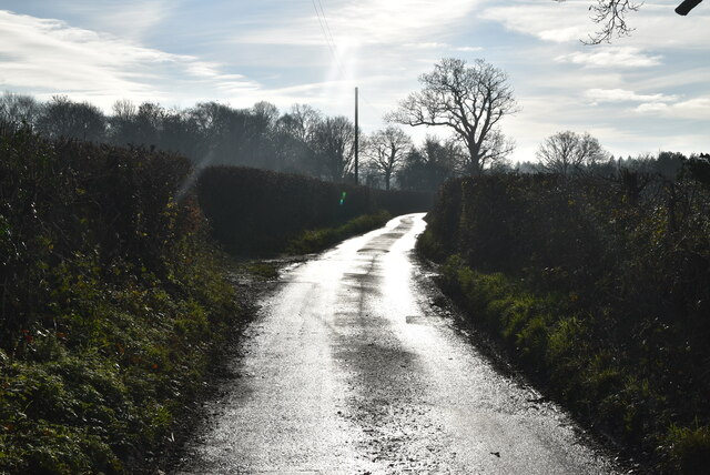
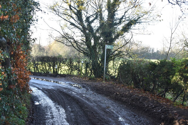
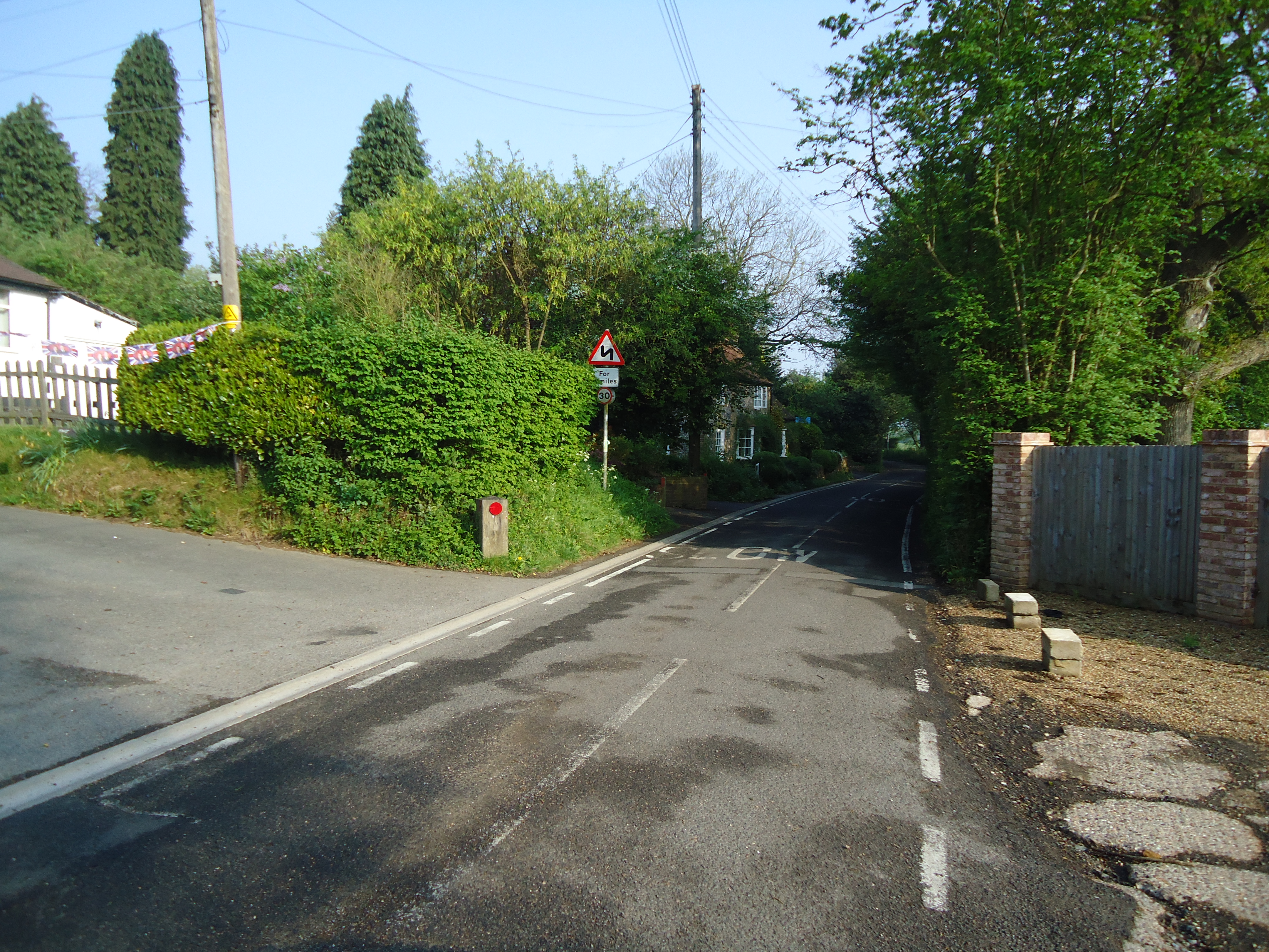
The shaw is crisscrossed by a network of footpaths and trails, allowing visitors to explore its beauty at their own pace. These pathways wind through the woods, offering glimpses of hidden glades, babbling brooks, and an abundance of wildlife. Birdwatchers can spot a variety of species, including woodpeckers, owls, and various songbirds.
Long Bottoms Shaw is also a popular spot for recreational activities such as hiking, picnicking, and photography. The peaceful ambiance and stunning vistas make it an ideal location for capturing the beauty of nature through the lens.
Managed by local authorities, the woodland is carefully preserved to maintain its ecological integrity. The management plan includes selective tree felling and the creation of wildlife habitats to ensure the sustainability of the forest.
Overall, Long Bottoms Shaw is a captivating woodland that showcases the natural splendor of Kent. Its scenic beauty, diverse wildlife, and tranquil atmosphere make it a must-visit destination for nature lovers and those seeking solace amidst the enchanting beauty of the forest.
If you have any feedback on the listing, please let us know in the comments section below.
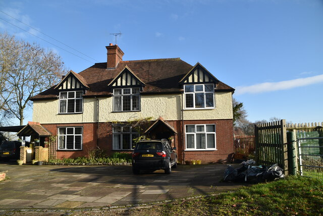
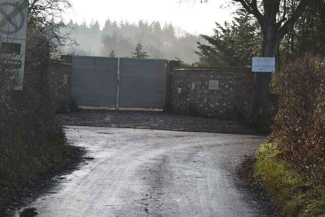
Long Bottoms Shaw Images
Images are sourced within 2km of 51.319684/0.10380389 or Grid Reference TQ4659. Thanks to Geograph Open Source API. All images are credited.
Long Bottoms Shaw is located at Grid Ref: TQ4659 (Lat: 51.319684, Lng: 0.10380389)
Administrative County: Kent
District: Sevenoaks
Police Authority: Kent
What 3 Words
///paid.vent.vibrates. Near Biggin Hill, London
Nearby Locations
Related Wikis

St Katharine's Church, Knockholt
St Katharine's Church is an Anglican parish church in the village of Knockholt and the Sevenoaks deanery. St Katharine's and St Margaret's came together...

Knockholt
Knockholt is a village and civil parish in the Sevenoaks District of Kent, England. It is located 5 mi (8 km) north west of Sevenoaks & 5.7 mi (9.2 km...
Horns Green
Horns Green is an area in the London Borough of Bromley located to the south of Cudham near the boundary with Kent. == References ==

London Borough of Bromley
The London Borough of Bromley ( ) is the largest and southeasternmost of the London boroughs that make up Greater London, bordering the ceremonial county...

Cudham
Cudham is a village in Greater London, England, located within the London Borough of Bromley and beyond London's urban sprawl. It is located on the Greater...

Pratt's Bottom
Pratt's Bottom is a village in Greater London, England, within the London Borough of Bromley and, prior to 1965, within the historic county of Kent. It...

St Margaret's Church, Halstead
St Margaret's Church is an Anglican parish church in the village of Halstead and the Sevenoaks deanery, although the church also serves the village of...
Halstead, Kent
Halstead is a village and civil parish in the Sevenoaks District of Kent, England. It is located 4.7 miles south east of Orpington & 6.1 miles north west...
Nearby Amenities
Located within 500m of 51.319684,0.10380389Have you been to Long Bottoms Shaw?
Leave your review of Long Bottoms Shaw below (or comments, questions and feedback).