Grove Wood

Wood, Forest in Sussex Wealden

England

Grove Wood

New roundabout east of Maresfield
New roundabout east of Maresfield Credit: nick macneill

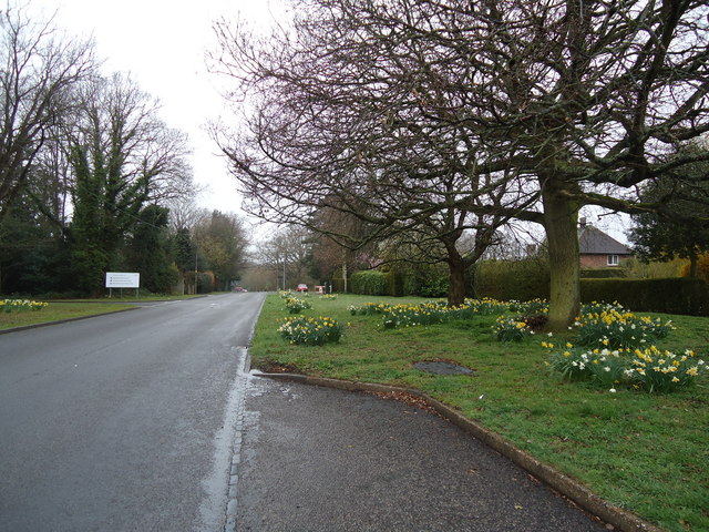
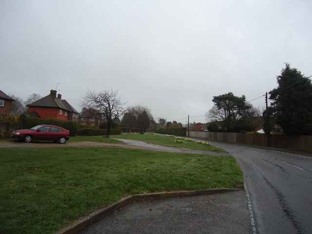
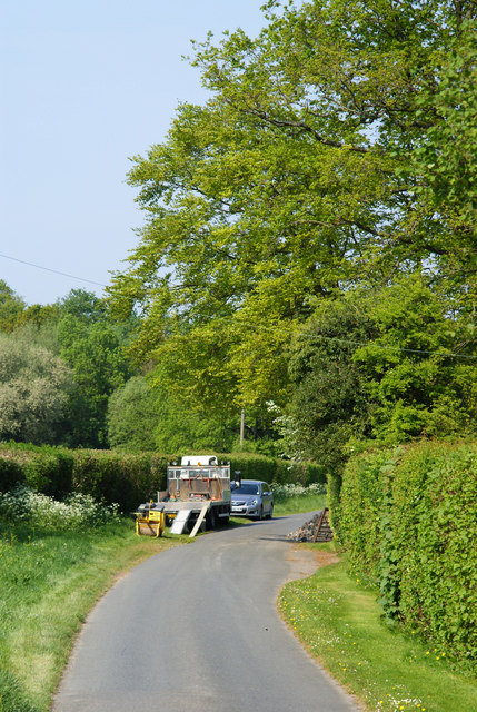
Grove Wood, located in Sussex, England, is a picturesque forest known for its natural beauty and rich biodiversity. Covering an area of approximately 100 acres, it is a popular destination for nature enthusiasts and hikers alike.

The wood is predominantly composed of native tree species, such as oak, beech, and ash, which create a dense canopy, providing shelter and habitat for a wide variety of flora and fauna. The forest floor is adorned with a lush carpet of moss, ferns, and wildflowers, adding to its enchanting appeal.

Visitors to Grove Wood can expect to encounter an array of wildlife. The forest is home to numerous bird species, including woodpeckers, owls, and various songbirds. Squirrels, rabbits, and deer are also commonly spotted, adding to the woodland's charm and appeal.

Trails and footpaths wind their way through the forest, allowing visitors to explore its hidden nooks and crannies. These paths provide opportunities to observe the forest's flora and fauna up close, making it a haven for wildlife photography and birdwatching enthusiasts.

Grove Wood is managed by local conservation authorities, ensuring the protection and preservation of its natural resources. The forest is carefully maintained to strike a balance between human enjoyment and the preservation of its delicate ecosystem.

Overall, Grove Wood in Sussex is a captivating woodland oasis, offering a tranquil escape from the hustle and bustle of everyday life. Its natural beauty and diverse wildlife make it a must-visit destination for nature lovers and those seeking solace in nature.

If you have any feedback on the listing, please let us know in the comments section below.
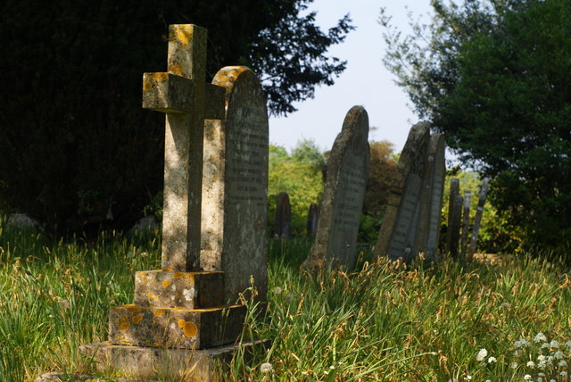
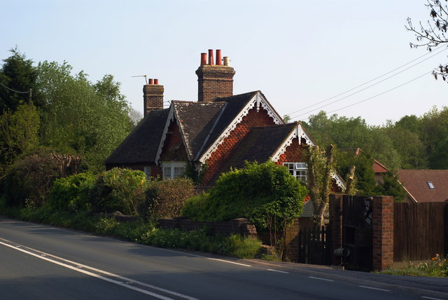
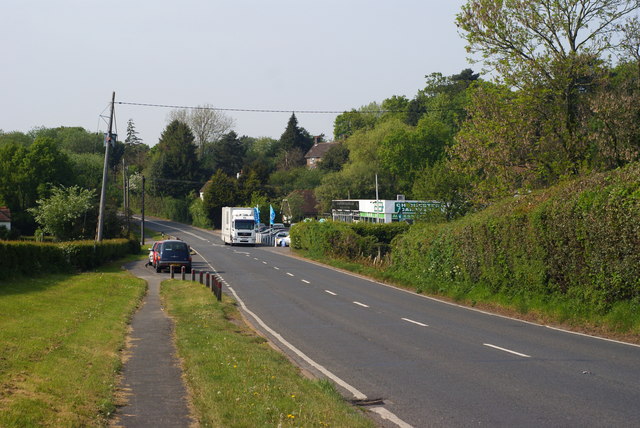
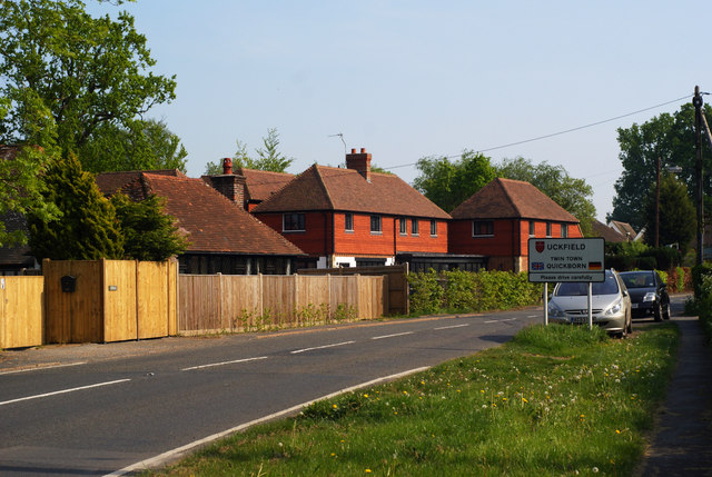
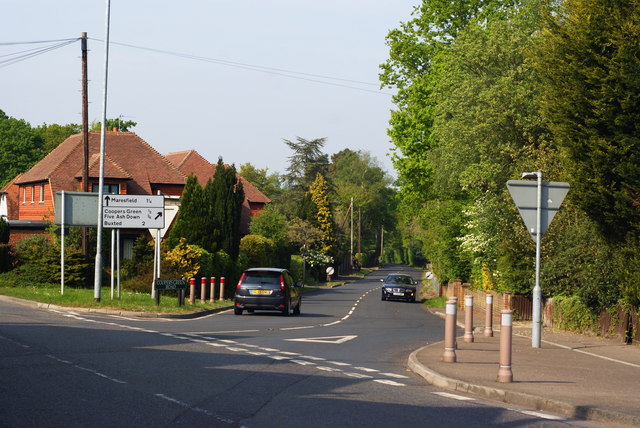
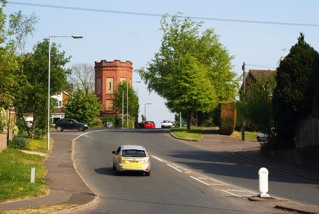
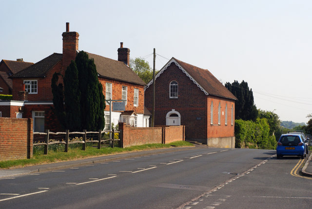
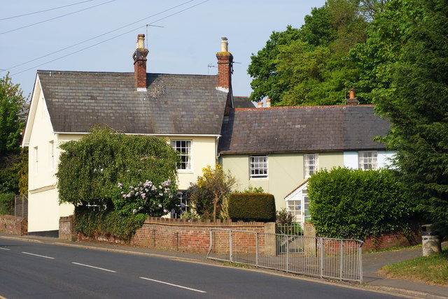
Grove Wood Images

Images are sourced within 2km of 50.985736/0.080718316 or Grid Reference TQ4622. Thanks to Geograph Open Source API. All images are credited.

New roundabout east of Maresfield
Batts Bridge Road, Maresfield
Nursery Lane, Maresfield, Sussex The large tree, to the right of picture, marks the position of Oak Tree Cottage.
Nursery Lane, Maresfield, Sussex
The large tree, to the right of picture, marks the position of Oak Tree Cottage.
Entrance to Maresfield Park, Sussex Formerly a large private estate, the road beyond the gatehouse is still marked as 'private'. Judging from the gatehouse, it must have been an impressive estate in its heyday.
Entrance to Maresfield Park, Sussex
Formerly a large private estate, the road beyond the gatehouse is still marked as 'private'. Judging from the gatehouse, it must have been an impressive estate in its heyday.
Morris 1000 Traveller, Uckfield, Sussex A fine survivor, some 45 years old.
Morris 1000 Traveller, Uckfield, Sussex
A fine survivor, some 45 years old.
Morris 1000 Traveller, Uckfield, Sussex At some stage in its 45 year life, some of the timbers have been replaced on the car. Timber rot was always a problem with this model, especially if left out in all weathers.
Morris 1000 Traveller, Uckfield, Sussex
At some stage in its 45 year life, some of the timbers have been replaced on the car. Timber rot was always a problem with this model, especially if left out in all weathers.
High Street, Maresfield, Sussex Photographed from close to Maresfield church.
High Street, Maresfield, Sussex
Photographed from close to Maresfield church.
Graves in Maresfield Cemetery, Sussex Photographed from the footpath in High Street.
Graves in Maresfield Cemetery, Sussex
Photographed from the footpath in High Street.
Graves in Maresfield Cemetery, Sussex Photographed from the footpath on High Street.
Graves in Maresfield Cemetery, Sussex
Photographed from the footpath on High Street.
The Mill House, Maresfield, Sussex The former mill house lies just within this grid square. The pond, serving this house, lies to the west; an aerial view suggests that the pond may have been truncated by the construction of the A22 Maresfield bypass, some years ago.
The Mill House, Maresfield, Sussex
The former mill house lies just within this grid square. The pond, serving this house, lies to the west; an aerial view suggests that the pond may have been truncated by the construction of the A22 Maresfield bypass, some years ago.
London Road, Budlett's Common, Sussex Chichester Caravans can be seen, in the centre of picture.
London Road, Budlett's Common, Sussex
Chichester Caravans can be seen, in the centre of picture.
London Road, Ringles Cross, Sussex Looking in the direction of Uckfield. The town sign can be seen, to the right of picture.
London Road, Ringles Cross, Sussex
Looking in the direction of Uckfield. The town sign can be seen, to the right of picture.
Road Junction at Ringles Cross, Sussex The junction of London Road with Coopers Green Road.
Road Junction at Ringles Cross, Sussex
The junction of London Road with Coopers Green Road.
Brown Lane, Uckfield, Sussex Looking in the direction of the water tower, from London Road.
Brown Lane, Uckfield, Sussex
Looking in the direction of the water tower, from London Road.
The Old Chapel, Uckfield, Sussex This chapel was re-built in the 1880s, but was built nearly 100 years earlier. To the left of picture, is the Veterinary Centre in Henley House.
The Old Chapel, Uckfield, Sussex
This chapel was re-built in the 1880s, but was built nearly 100 years earlier. To the left of picture, is the Veterinary Centre in Henley House.
Houses in Uckfield, Sussex Located beside London Road.
Houses in Uckfield, Sussex
Located beside London Road.
Uckfield High Street, Sussex Looking down the hill; towards the town centre, and railway station.
Uckfield High Street, Sussex
Looking down the hill; towards the town centre, and railway station.
Show me another place!

Grove Wood is located at Grid Ref: TQ4622 (Lat: 50.985736, Lng: 0.080718316)

Administrative County: East Sussex

District: Wealden

Police Authority: Sussex

What 3 Words

///roadmap.hubcaps.begun. Near Uckfield, East Sussex

Related Wikis

A.F.C. Uckfield Town

A.F.C. Uckfield Town is a community football club based in Uckfield, East Sussex, England. They are currently members of the Southern Combination Premier...

A.F.C. Uckfield

Association Football Club Uckfield was a football club based in Uckfield, East Sussex, England. == History == The club was formed in 1988 as Wealden Football...

Piltdown Man

The Piltdown Man was a paleoanthropological fraud in which bone fragments were presented as the fossilised remains of a previously unknown early human...

West Park, Uckfield

West Park is a 10.5-hectare (26-acre) Local Nature Reserve on the western outskirts of Uckfield in East Sussex. It is owned and managed by Uckfield Town...

Uckfield Baptist Church

Uckfield Baptist Church is a Baptist congregation based in the town of Uckfield in East Sussex, England. Although services now take place in a school...

Copping Hall

Copping Hall is a Grade II* listed house in Uckfield, East Sussex, England. It is located at 1 Pudding Cake Lane, Uckfield, East Sussex TN22 1BT. Built...

Maresfield

Maresfield is a village and civil parish in the Wealden District of East Sussex, England. The village itself lies 1.5 miles (2.4 km) north from Uckfield...

Cooper's Green

Cooper's Green is a village in the civil parish of Buxted in the Wealden district of East Sussex, England. Its nearest town is Uckfield, which lies approximately...

Nearby Amenities

Located within 500m of 50.985736,0.080718316
Footpath
Information: guidepost
Operator: East Sussex County Council
Tourism: information
Lat/Long: 50.9881693/0.0810218
Footpath
Information: guidepost
Tourism: information
Lat/Long: 50.9855793/0.0782045
Footpath
Information: guidepost
Operator: East Sussex County Council
Tourism: information
Lat/Long: 50.9848998/0.0762263
Footpath
Information: guidepost
Operator: East Sussex County Council
Tourism: information
Lat/Long: 50.9893155/0.0812759
Footpath
Information: guidepost
Operator: East Sussex County Council
Tourism: information
Lat/Long: 50.9852246/0.0773982
The data included in this document is from www.openstreetmap.org. The data is made available under ODbL.

Have you been to Grove Wood?

Leave your review of Grove Wood below (or comments, questions and feedback).