Cophall Wood
Wood, Forest in Kent Sevenoaks
England
Cophall Wood
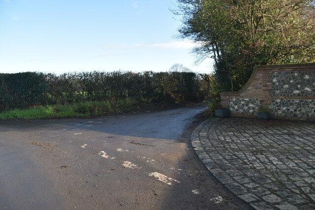
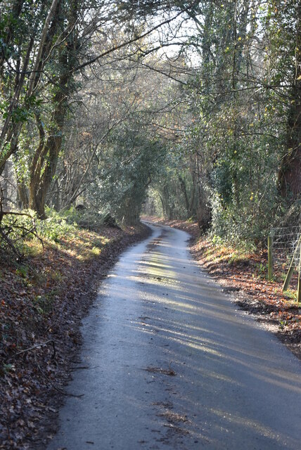
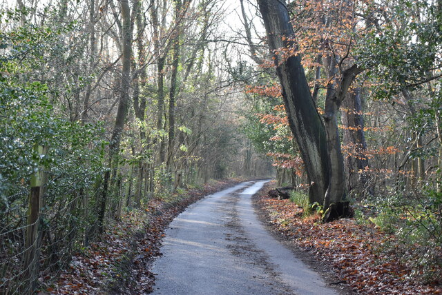
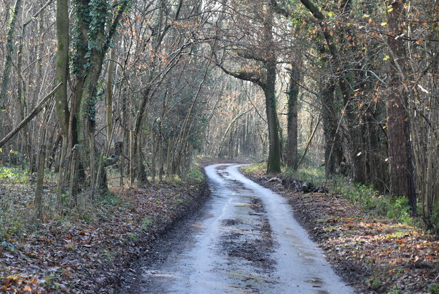
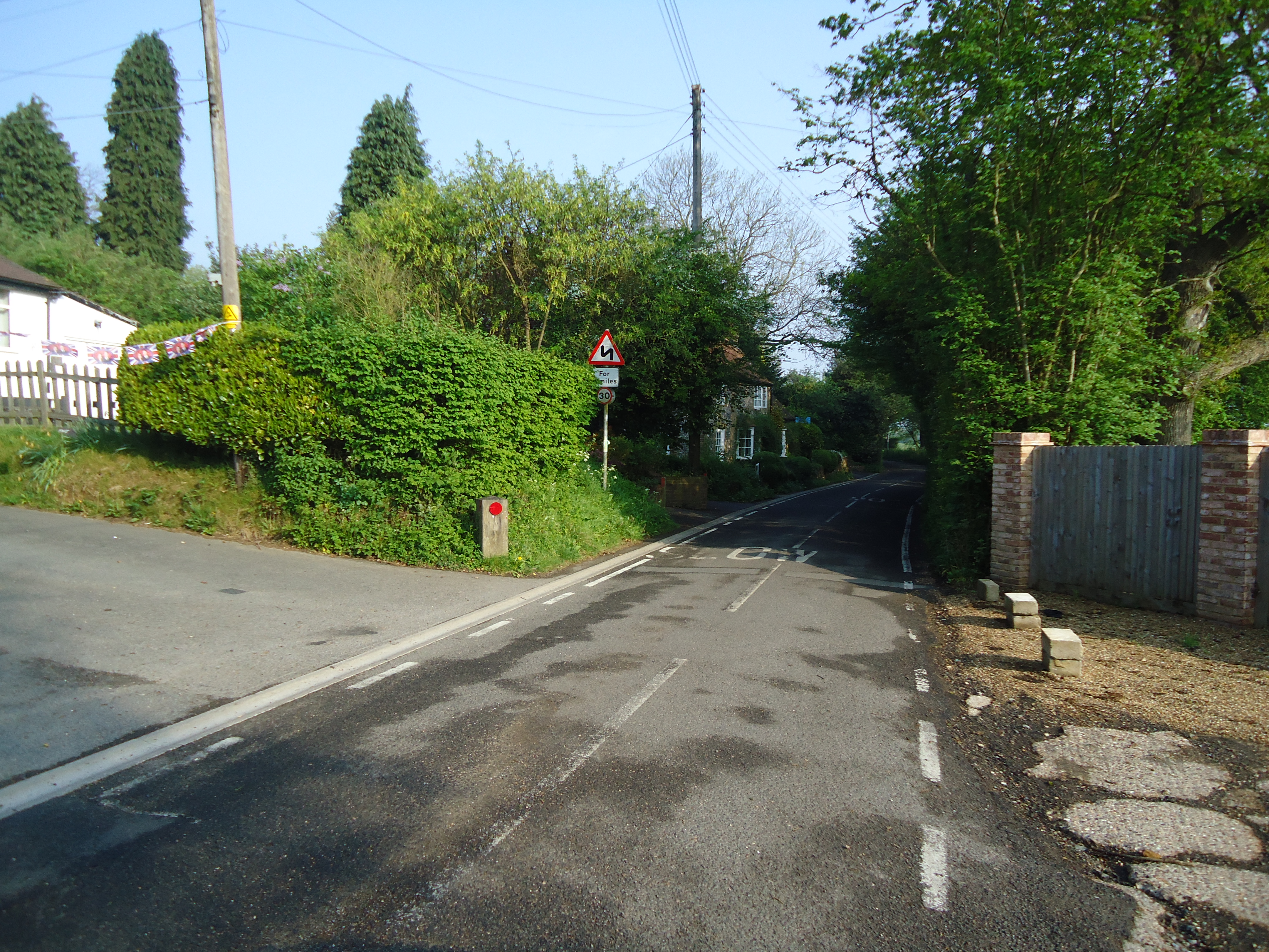
Cophall Wood is a picturesque forest located in the county of Kent, England. Covering an area of approximately 200 acres, it is a popular destination for nature enthusiasts, hikers, and families seeking a peaceful retreat. The wood is located near the village of Copthorne, just a short drive from the town of Crawley.
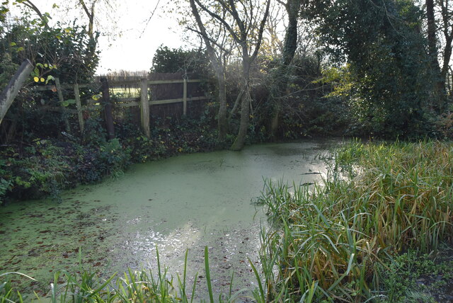
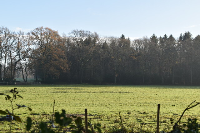
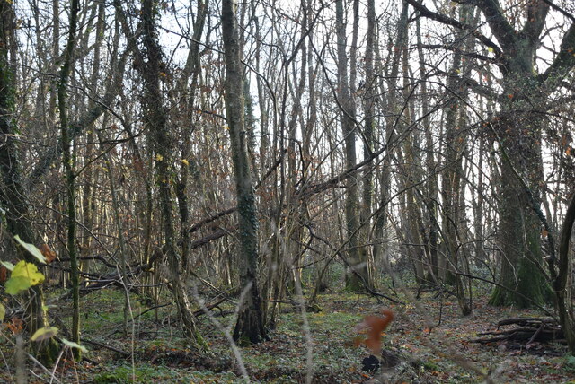
Cophall Wood boasts a diverse range of tree species, including oak, birch, beech, and pine. The varied ecosystem supports a rich array of wildlife, making it a haven for birdwatchers and nature photographers. Visitors can often spot species such as woodpeckers, owls, and deer among the trees.
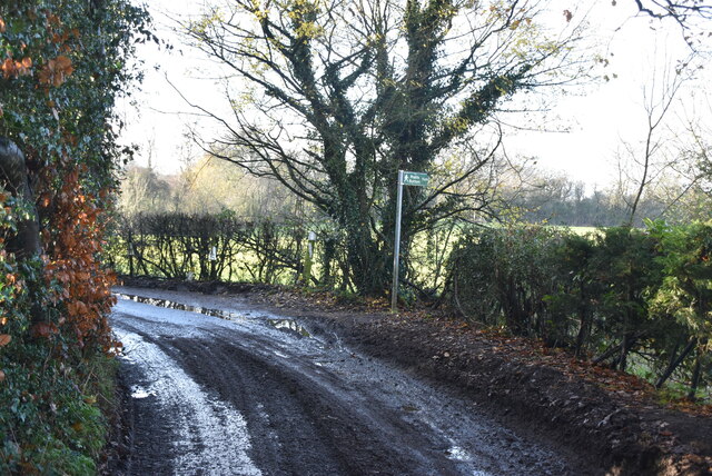
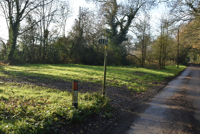
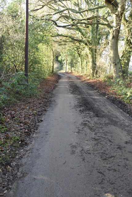
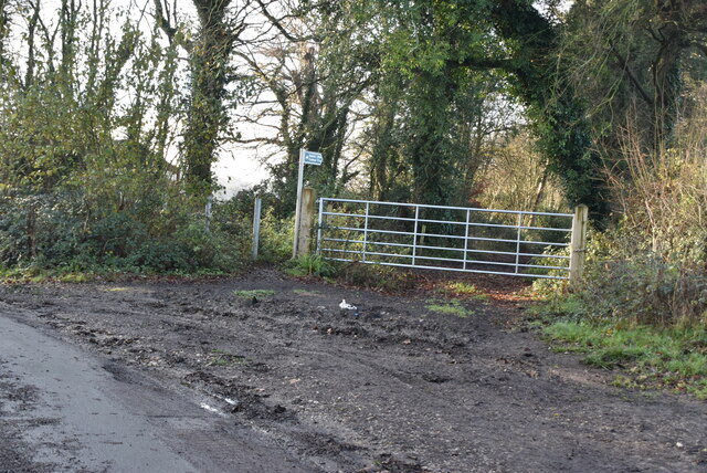
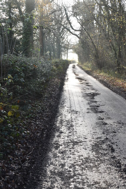
The wood offers a network of well-maintained trails that wind through the forest, allowing visitors to explore its beauty at their own pace. These trails are suitable for all levels of fitness and are particularly popular for dog walking. The peaceful atmosphere of Cophall Wood makes it an ideal spot for a leisurely stroll or a picnic surrounded by nature.
In addition to its natural beauty, Cophall Wood provides various amenities for visitors. There is ample parking available, as well as picnic areas and benches for relaxation. The wood is also equipped with public toilets and provides accessibility for disabled visitors.
Overall, Cophall Wood in Kent offers a serene and scenic experience for nature lovers, providing a welcome escape from the hustle and bustle of everyday life. Whether it's for a leisurely walk, a family outing, or wildlife observation, this enchanting woodland is sure to leave visitors feeling refreshed and connected to nature.
If you have any feedback on the listing, please let us know in the comments section below.
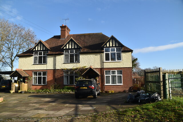
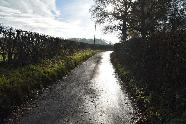
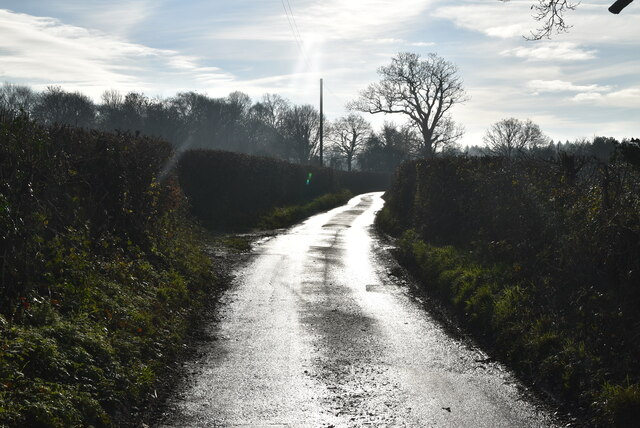
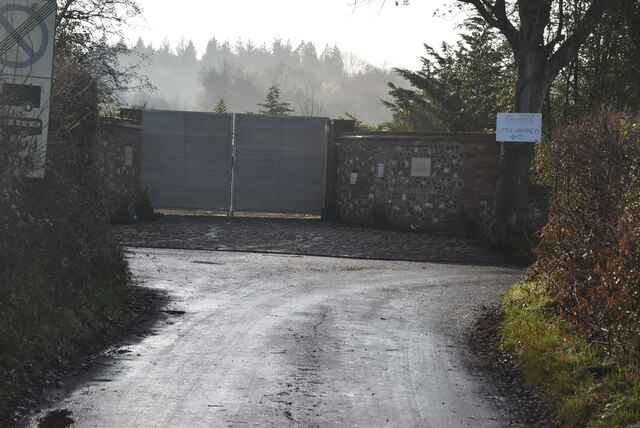
Cophall Wood Images
Images are sourced within 2km of 51.314173/0.095716637 or Grid Reference TQ4659. Thanks to Geograph Open Source API. All images are credited.


Cophall Wood is located at Grid Ref: TQ4659 (Lat: 51.314173, Lng: 0.095716637)
Administrative County: Kent
District: Sevenoaks
Police Authority: Kent
What 3 Words
///chest.sooner.spring. Near Biggin Hill, London
Nearby Locations
Related Wikis

St Katharine's Church, Knockholt
St Katharine's Church is an Anglican parish church in the village of Knockholt and the Sevenoaks deanery. St Katharine's and St Margaret's came together...

Knockholt
Knockholt is a village and civil parish in the Sevenoaks District of Kent, England. It is located 5 mi (8 km) north west of Sevenoaks & 5.7 mi (9.2 km...
Horns Green
Horns Green is an area in the London Borough of Bromley located to the south of Cudham near the boundary with Kent. == References ==

Cudham
Cudham is a village in Greater London, England, located within the London Borough of Bromley and beyond London's urban sprawl. It is located on the Greater...

London Borough of Bromley
The London Borough of Bromley ( ) is the largest and southeasternmost of the London boroughs that make up Greater London, bordering the ceremonial county...

Berry's Green
Berry's Green a small hamlet in the London Borough of Bromley in Greater London, UK, situated outside of London's contiguous built-up area. It is a fairly...

Single Street
Single Street is a hamlet in the London Borough of Bromley in Greater London, located between Luxted and Berry's Green, and centred around a street of...
Hazelwood, London
Hazelwood is a hamlet in Greater London, England. It is located within the London Borough of Bromley, to the east of Downe. == References ==
Related Videos

Knockholt Circular via Downe and Cudham | Cool Dudes Walking Club
swcwalks #swcwalk7 A 13-mile stroll from Knockholt, round Pratt's Bottom, Downe, Cudham and back again. This walk was taken ...

Knockholt Circular: Scenic Hiking Trails Near London | UK Walking Tours 🇬🇧
Embark on an adventure as we explore the picturesque trails of the Knockholt Circular, a hidden gem near London. From its lush ...

Knockholt to Otford Walk: Exploring Scenic Trails in England | Hiking UK 🇬🇧
Join us as we embark on a picturesque journey along the Knockholt to Otford walk, a captivating trail in England. This scenic hike ...

Knockholt Circular Walk: Exploring the Scenic Trails Near London 🇬🇧
Join us on a picturesque hiking adventure as we explore the Knockholt Circular Walk, located just a stone's throw away from the ...
Nearby Amenities
Located within 500m of 51.314173,0.095716637Have you been to Cophall Wood?
Leave your review of Cophall Wood below (or comments, questions and feedback).