Longwood Gill

Wood, Forest in Sussex Wealden

England

Longwood Gill

New roundabout east of Maresfield
New roundabout east of Maresfield Credit: nick macneill

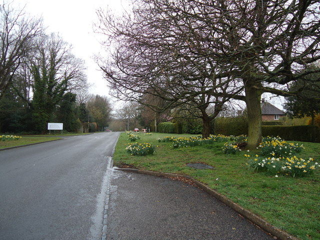
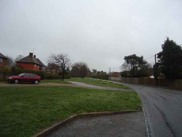
Longwood Gill is a picturesque wood located in Sussex, England. It covers an area of approximately 100 acres and is known for its dense forest and scenic beauty. The wood is situated in a secluded valley, surrounded by rolling hills and meandering streams, making it a popular destination for nature lovers and hikers.

The forest is primarily composed of broad-leaved trees such as oak, beech, and chestnut, which create a thick canopy, providing shade and shelter for a variety of wildlife. The undergrowth is rich with ferns, mosses, and wildflowers, adding to the charm of the woodland.

Longwood Gill is home to a diverse range of animal species, including deer, foxes, badgers, and numerous bird species. Birdwatchers often visit the wood to catch a glimpse of rare species such as woodpeckers, owls, and warblers. The peaceful atmosphere and abundance of wildlife make it an ideal spot for photography enthusiasts as well.

The wood features several well-marked trails, allowing visitors to explore its beauty at their own pace. There are also picnic areas and benches scattered throughout, providing opportunities for relaxation and enjoying a meal amidst the tranquil surroundings.

Longwood Gill is open to the public year-round, and admission is free. The wood is well-maintained, with regular upkeep and preservation efforts to ensure the natural beauty of the area remains intact. Visitors are encouraged to respect the environment and follow the designated paths to minimize their impact on the delicate ecosystem.

If you have any feedback on the listing, please let us know in the comments section below.

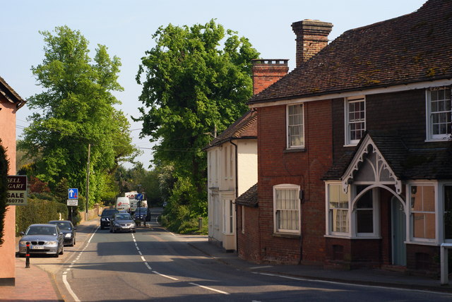
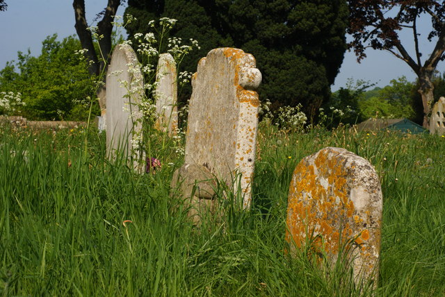
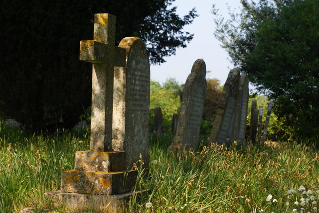
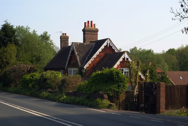
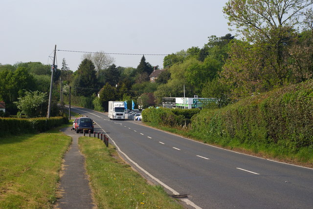
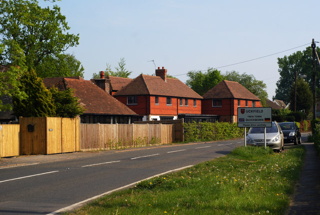
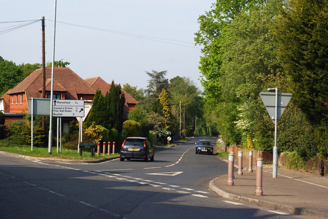
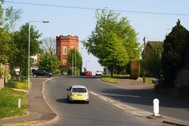
Longwood Gill Images

Images are sourced within 2km of 50.979772/0.086862585 or Grid Reference TQ4622. Thanks to Geograph Open Source API. All images are credited.

New roundabout east of Maresfield
Batts Bridge Road, Maresfield
Entrance to Maresfield Park, Sussex Formerly a large private estate, the road beyond the gatehouse is still marked as 'private'. Judging from the gatehouse, it must have been an impressive estate in its heyday.
Entrance to Maresfield Park, Sussex
Formerly a large private estate, the road beyond the gatehouse is still marked as 'private'. Judging from the gatehouse, it must have been an impressive estate in its heyday.
Former Signal Box at Uckfield, Sussex Formerly a significant intermediate station on the London- Lewes branch line (via Oxted). The route now terminates at Uckfield; with the new station out of picture, to the right. A taxi company is now based in this building.
Former Signal Box at Uckfield, Sussex
Formerly a significant intermediate station on the London- Lewes branch line (via Oxted). The route now terminates at Uckfield; with the new station out of picture, to the right. A taxi company is now based in this building.
Train at Uckfield Station, Sussex The end of the line; which runs to London, via Oxted. Whilst many trains run through to London; this one was shortly to depart, for Oxted, to connect with a service from East Grinstead.
Train at Uckfield Station, Sussex
The end of the line; which runs to London, via Oxted. Whilst many trains run through to London; this one was shortly to depart, for Oxted, to connect with a service from East Grinstead.
Sculpture at Uckfield, Sussex Sculpture of a Town Crier, located close to the bridge over the River Uck.
Sculpture at Uckfield, Sussex
Sculpture of a Town Crier, located close to the bridge over the River Uck.
Morris 1000 Traveller, Uckfield, Sussex A fine survivor, some 45 years old.
Morris 1000 Traveller, Uckfield, Sussex
A fine survivor, some 45 years old.
Morris 1000 Traveller, Uckfield, Sussex At some stage in its 45 year life, some of the timbers have been replaced on the car. Timber rot was always a problem with this model, especially if left out in all weathers.
Morris 1000 Traveller, Uckfield, Sussex
At some stage in its 45 year life, some of the timbers have been replaced on the car. Timber rot was always a problem with this model, especially if left out in all weathers.
High Street, Maresfield, Sussex Photographed from close to Maresfield church.
High Street, Maresfield, Sussex
Photographed from close to Maresfield church.
Graves in Maresfield Cemetery, Sussex Photographed from the footpath in High Street.
Graves in Maresfield Cemetery, Sussex
Photographed from the footpath in High Street.
Graves in Maresfield Cemetery, Sussex Photographed from the footpath on High Street.
Graves in Maresfield Cemetery, Sussex
Photographed from the footpath on High Street.
The Mill House, Maresfield, Sussex The former mill house lies just within this grid square. The pond, serving this house, lies to the west; an aerial view suggests that the pond may have been truncated by the construction of the A22 Maresfield bypass, some years ago.
The Mill House, Maresfield, Sussex
The former mill house lies just within this grid square. The pond, serving this house, lies to the west; an aerial view suggests that the pond may have been truncated by the construction of the A22 Maresfield bypass, some years ago.
London Road, Budlett's Common, Sussex Chichester Caravans can be seen, in the centre of picture.
London Road, Budlett's Common, Sussex
Chichester Caravans can be seen, in the centre of picture.
London Road, Ringles Cross, Sussex Looking in the direction of Uckfield. The town sign can be seen, to the right of picture.
London Road, Ringles Cross, Sussex
Looking in the direction of Uckfield. The town sign can be seen, to the right of picture.
Road Junction at Ringles Cross, Sussex The junction of London Road with Coopers Green Road.
Road Junction at Ringles Cross, Sussex
The junction of London Road with Coopers Green Road.
Brown Lane, Uckfield, Sussex Looking in the direction of the water tower, from London Road.
Brown Lane, Uckfield, Sussex
Looking in the direction of the water tower, from London Road.
The Old Chapel, Uckfield, Sussex This chapel was re-built in the 1880s, but was built nearly 100 years earlier. To the left of picture, is the Veterinary Centre in Henley House.
The Old Chapel, Uckfield, Sussex
This chapel was re-built in the 1880s, but was built nearly 100 years earlier. To the left of picture, is the Veterinary Centre in Henley House.
Show me another place!

Longwood Gill is located at Grid Ref: TQ4622 (Lat: 50.979772, Lng: 0.086862585)

Administrative County: East Sussex

District: Wealden

Police Authority: Sussex

What 3 Words

///hung.globe.simulates. Near Uckfield, East Sussex

Related Wikis

West Park, Uckfield

West Park is a 10.5-hectare (26-acre) Local Nature Reserve on the western outskirts of Uckfield in East Sussex. It is owned and managed by Uckfield Town...

Copping Hall

Copping Hall is a Grade II* listed house in Uckfield, East Sussex, England. It is located at 1 Pudding Cake Lane, Uckfield, East Sussex TN22 1BT. Built...

Uckfield Baptist Church

Uckfield Baptist Church is a Baptist congregation based in the town of Uckfield in East Sussex, England. Although services now take place in a school...

Uckfield College

Uckfield College (formerly Uckfield Community Technology College) is a community college situated in Uckfield, UK. It has approximately 1,720 students...

Uckfield railway station

Uckfield railway station is the southern terminus of a branch of the Oxted Line in England, serving the town of Uckfield, East Sussex. It is 46 miles 8...

Uckfield

Uckfield () is a town in the Wealden District of East Sussex in South East England. The town is on the River Uck, one of the tributaries of the River Ouse...

Hempstead Meadow

Hempstead Meadow is a 1.6-hectare (4.0-acre) Local Nature Reserve in Uckfield in East Sussex. It is owned and managed by Uckfield Town Council.The site...

A.F.C. Uckfield Town

A.F.C. Uckfield Town is a community football club based in Uckfield, East Sussex, England. They are currently members of the Southern Combination Premier...

Nearby Amenities

Located within 500m of 50.979772,0.086862585
Turning Circle
Lat/Long: 50.9770351/0.0921942
Public Footpath
Information: guidepost
Tourism: information
Lat/Long: 50.9785576/0.0937257
Generator Method: photovoltaic
Generator Output Electricity: yes
Generator Source: solar
Generator Type: solar_photovoltaic_panel
Location: roof
Power: generator
Lat/Long: 50.9775653/0.0925362
Generator Method: photovoltaic
Generator Output Electricity: yes
Generator Source: solar
Generator Type: solar_photovoltaic_panel
Location: roof
Power: generator
Lat/Long: 50.977867/0.0926663
Ford: yes
Lat/Long: 50.9798733/0.0909922
Fir tree Grove
Natural: wood
Lat/Long: 50.9766863/0.088822
Addr City: Uckfield
Addr Housename: The Pump House
Building: yes
Lat/Long: 50.9783949/0.0927095
Addr City: Uckfield
Addr Housename: Lily Pond View
Building: yes
Lat/Long: 50.9782763/0.0926002
The data included in this document is from www.openstreetmap.org. The data is made available under ODbL.

Have you been to Longwood Gill?

Leave your review of Longwood Gill below (or comments, questions and feedback).