Black Down

Downs, Moorland in Sussex Wealden

England

Black Down

New roundabout east of Maresfield
New roundabout east of Maresfield Credit: nick macneill

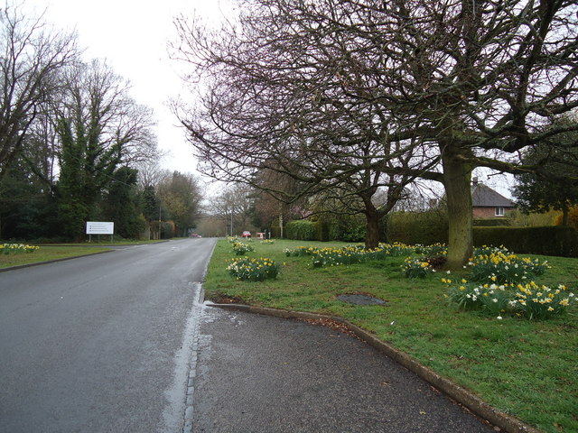
Black Down is a prominent hill located in the South Downs National Park in West Sussex, England. It is the highest point in the county, standing at an elevation of 280 meters (919 feet) above sea level. The hill is part of the wider Black Down and Hindhead Site of Special Scientific Interest (SSSI), recognized for its exceptional biological and geological importance.

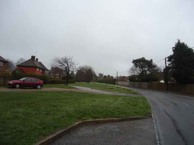
The landscape of Black Down is characterized by a mixture of heathland, woodland, and open grassland. The area boasts a diverse range of flora and fauna, including rare and endangered species such as the silver-spotted skipper butterfly and the Dartford warbler bird.

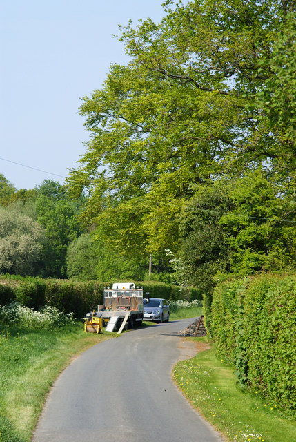
Visitors to Black Down can enjoy a variety of recreational activities, such as hiking and nature walks along the well-marked trails that crisscross the area. The hill offers panoramic views of the surrounding countryside, with vistas stretching as far as the English Channel on a clear day.

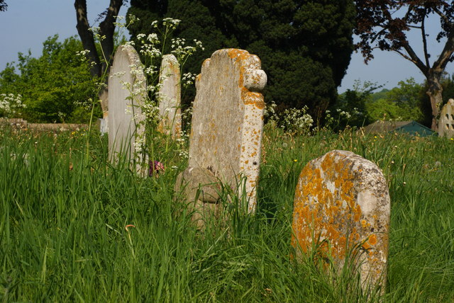
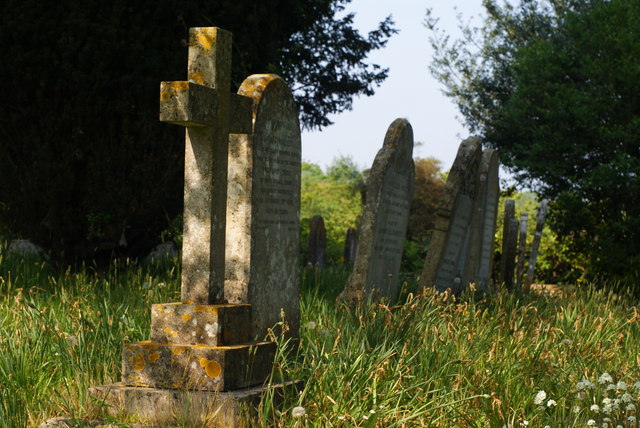
The site is also home to several Bronze Age burial mounds, providing a glimpse into the area's ancient history. These archaeological features add an extra layer of intrigue and cultural significance to Black Down.

Black Down is easily accessible by car, with parking facilities available nearby. It is a popular destination for outdoor enthusiasts, nature lovers, and those seeking a peaceful retreat in the heart of the South Downs.

If you have any feedback on the listing, please let us know in the comments section below.

Black Down Images

Images are sourced within 2km of 50.987349/0.087131153 or Grid Reference TQ4622. Thanks to Geograph Open Source API. All images are credited.

New roundabout east of Maresfield
Batts Bridge Road, Maresfield
Nursery Lane, Maresfield, Sussex The large tree, to the right of picture, marks the position of Oak Tree Cottage.
Nursery Lane, Maresfield, Sussex
The large tree, to the right of picture, marks the position of Oak Tree Cottage.
Entrance to Maresfield Park, Sussex Formerly a large private estate, the road beyond the gatehouse is still marked as 'private'. Judging from the gatehouse, it must have been an impressive estate in its heyday.
Entrance to Maresfield Park, Sussex
Formerly a large private estate, the road beyond the gatehouse is still marked as 'private'. Judging from the gatehouse, it must have been an impressive estate in its heyday.
Morris 1000 Traveller, Uckfield, Sussex A fine survivor, some 45 years old.
Morris 1000 Traveller, Uckfield, Sussex
A fine survivor, some 45 years old.
Morris 1000 Traveller, Uckfield, Sussex At some stage in its 45 year life, some of the timbers have been replaced on the car. Timber rot was always a problem with this model, especially if left out in all weathers.
Morris 1000 Traveller, Uckfield, Sussex
At some stage in its 45 year life, some of the timbers have been replaced on the car. Timber rot was always a problem with this model, especially if left out in all weathers.
High Street, Maresfield, Sussex Photographed from close to Maresfield church.
High Street, Maresfield, Sussex
Photographed from close to Maresfield church.
Graves in Maresfield Cemetery, Sussex Photographed from the footpath in High Street.
Graves in Maresfield Cemetery, Sussex
Photographed from the footpath in High Street.
Graves in Maresfield Cemetery, Sussex Photographed from the footpath on High Street.
Graves in Maresfield Cemetery, Sussex
Photographed from the footpath on High Street.
The Mill House, Maresfield, Sussex The former mill house lies just within this grid square. The pond, serving this house, lies to the west; an aerial view suggests that the pond may have been truncated by the construction of the A22 Maresfield bypass, some years ago.
The Mill House, Maresfield, Sussex
The former mill house lies just within this grid square. The pond, serving this house, lies to the west; an aerial view suggests that the pond may have been truncated by the construction of the A22 Maresfield bypass, some years ago.
London Road, Budlett's Common, Sussex Chichester Caravans can be seen, in the centre of picture.
London Road, Budlett's Common, Sussex
Chichester Caravans can be seen, in the centre of picture.
London Road, Ringles Cross, Sussex Looking in the direction of Uckfield. The town sign can be seen, to the right of picture.
London Road, Ringles Cross, Sussex
Looking in the direction of Uckfield. The town sign can be seen, to the right of picture.
Road Junction at Ringles Cross, Sussex The junction of London Road with Coopers Green Road.
Road Junction at Ringles Cross, Sussex
The junction of London Road with Coopers Green Road.
Brown Lane, Uckfield, Sussex Looking in the direction of the water tower, from London Road.
Brown Lane, Uckfield, Sussex
Looking in the direction of the water tower, from London Road.
The Old Chapel, Uckfield, Sussex This chapel was re-built in the 1880s, but was built nearly 100 years earlier. To the left of picture, is the Veterinary Centre in Henley House.
The Old Chapel, Uckfield, Sussex
This chapel was re-built in the 1880s, but was built nearly 100 years earlier. To the left of picture, is the Veterinary Centre in Henley House.
Houses in Uckfield, Sussex Located beside London Road.
Houses in Uckfield, Sussex
Located beside London Road.
Uckfield High Street, Sussex Looking down the hill; towards the town centre, and railway station.
Uckfield High Street, Sussex
Looking down the hill; towards the town centre, and railway station.
Show me another place!

Black Down is located at Grid Ref: TQ4622 (Lat: 50.987349, Lng: 0.087131153)

Administrative County: East Sussex

District: Wealden

Police Authority: Sussex

What 3 Words

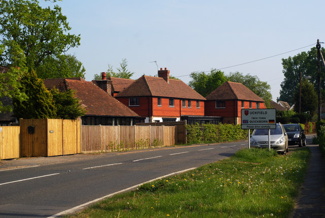
///roadshow.regrowth.awakes. Near Uckfield, East Sussex

Related Wikis

A.F.C. Uckfield Town

A.F.C. Uckfield Town is a community football club based in Uckfield, East Sussex, England. They are currently members of the Southern Combination Premier...

A.F.C. Uckfield

Association Football Club Uckfield was a football club based in Uckfield, East Sussex, England. == History == The club was formed in 1988 as Wealden Football...

Cooper's Green

Cooper's Green is a village in the civil parish of Buxted in the Wealden district of East Sussex, England. Its nearest town is Uckfield, which lies approximately...
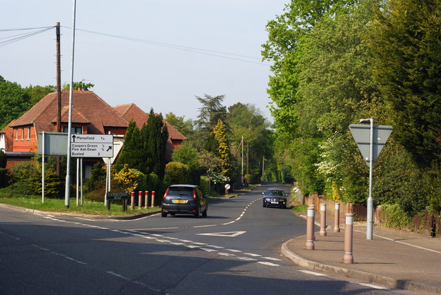
Maresfield

Maresfield is a village and civil parish in the Wealden District of East Sussex, England. The village itself lies 1.5 miles (2.4 km) north from Uckfield...

Uckfield Baptist Church

Uckfield Baptist Church is a Baptist congregation based in the town of Uckfield in East Sussex, England. Although services now take place in a school...

Copping Hall

Copping Hall is a Grade II* listed house in Uckfield, East Sussex, England. It is located at 1 Pudding Cake Lane, Uckfield, East Sussex TN22 1BT. Built...

West Park, Uckfield

West Park is a 10.5-hectare (26-acre) Local Nature Reserve on the western outskirts of Uckfield in East Sussex. It is owned and managed by Uckfield Town...

Piltdown Man

The Piltdown Man was a paleoanthropological fraud in which bone fragments were presented as the fossilised remains of a previously unknown early human...

Nearby Amenities

Located within 500m of 50.987349,0.087131153
Car Wash
Automated: no
Wheelchair: no
Lat/Long: 50.9886735/0.0903374
Footpath
Information: guidepost
Operator: East Sussex County Council
Tourism: information
Lat/Long: 50.9881693/0.0810218
Footpath
Information: guidepost
Operator: East Sussex County Council
Tourism: information
Lat/Long: 50.9893155/0.0812759
Barrier: stile
Lat/Long: 50.9896613/0.0927507
Footpath
Information: guidepost
Operator: East Sussex County Council
Tourism: information
Lat/Long: 50.991269/0.0868276
Public Footpath
Information: guidepost
Operator: East Sussex County Council
Tourism: information
Lat/Long: 50.990794/0.0858121
Public Footpath
Information: guidepost
Tourism: information
Lat/Long: 50.990579/0.0854032
Public Footpath
Information: guidepost
Operator: East Sussex County Council
Tourism: information
Lat/Long: 50.9902724/0.0846209
Leisure: outdoor_seating
Operator: McDonald's
Lat/Long: 50.9891558/0.0899425
Crossing
Crossing: uncontrolled
Crossing Ref: zebra
Lat/Long: 50.9887783/0.0908111
Crossing
Crossing: uncontrolled
Crossing Ref: zebra
Lat/Long: 50.9890954/0.0900159
Crossing
Crossing: uncontrolled
Crossing Ref: zebra
Lat/Long: 50.9891237/0.089839
Crossing
Crossing: uncontrolled
Crossing Ref: zebra
Lat/Long: 50.9891474/0.0901209
Crossing
Crossing: uncontrolled
Crossing Ref: zebra
Lat/Long: 50.9890275/0.0901903
Crossing
Crossing: uncontrolled
Crossing Ref: zebra
Lat/Long: 50.9889226/0.090384
Barrier: stile
Lat/Long: 50.9898532/0.0925616
The data included in this document is from www.openstreetmap.org. The data is made available under ODbL.

Have you been to Black Down?

Leave your review of Black Down below (or comments, questions and feedback).