Puffers Green
Downs, Moorland in Essex Harlow
England
Puffers Green

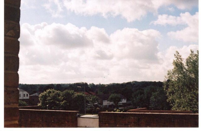
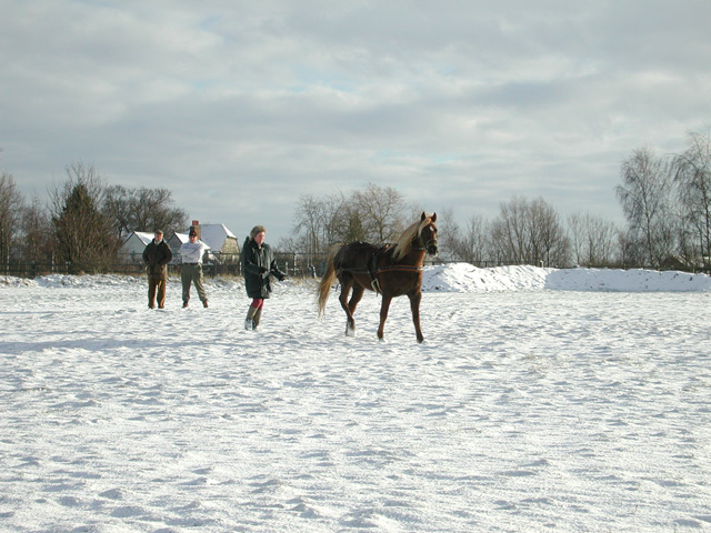
Puffers Green is a picturesque area located in Essex, England. Situated within the larger region of Downs and Moorland, Puffers Green offers a charming countryside setting with its rolling hills, vast open spaces, and lush green landscapes.
One of the main features of Puffers Green is its unspoiled natural environment. The area is known for its diverse wildlife, including various bird species and small mammals. Nature enthusiasts and birdwatchers often flock to Puffers Green to enjoy the tranquility and observe the local fauna.
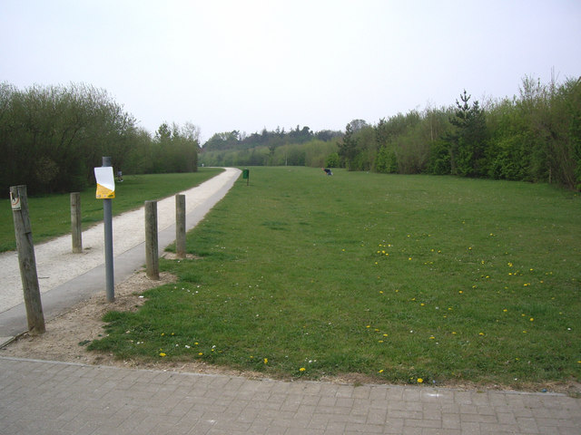
The landscape of Puffers Green is characterized by its undulating hills and expansive moorland. The moors are home to a variety of plant species, including heather and gorse, which add vibrant colors to the scenery throughout the year. Walking and hiking trails are scattered across the area, allowing visitors to explore the beauty of Puffers Green on foot.
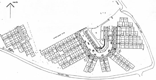
The village of Puffers Green itself is small and quaint, with a close-knit community. The village houses traditional English cottages, with well-manicured gardens and charming thatched roofs. The locals take great pride in maintaining the village's character and preserving its historical charm.
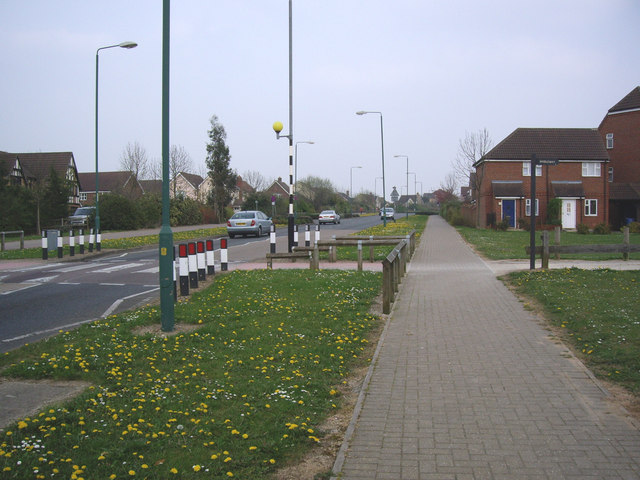
Puffers Green also benefits from its proximity to nearby amenities. The larger towns of Essex are easily accessible, providing residents with a range of shops, restaurants, and entertainment options. The area is also well-connected by road and public transport, making it convenient for both residents and visitors to access.
Overall, Puffers Green, located in the heart of Essex's Downs and Moorland, offers a serene and idyllic setting for those seeking a peaceful countryside retreat. With its natural beauty, thriving wildlife, and charming village, Puffers Green is a hidden gem that showcases the best of rural England.
If you have any feedback on the listing, please let us know in the comments section below.
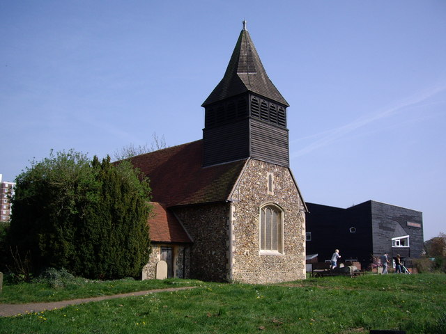
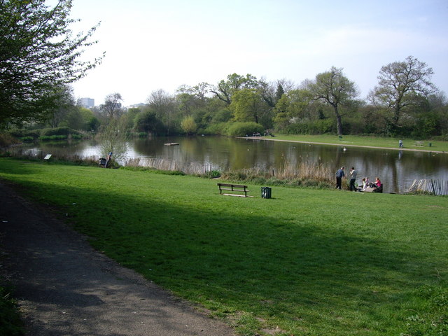
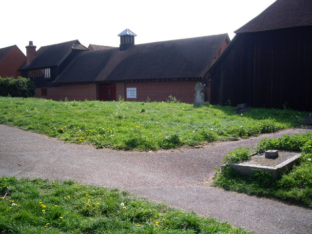
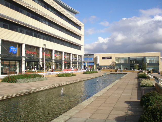
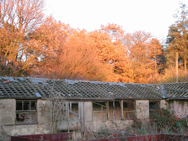
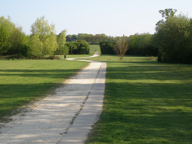
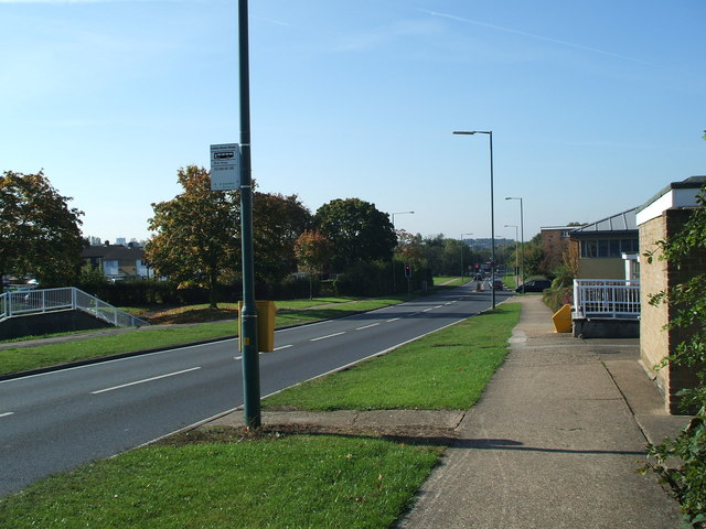
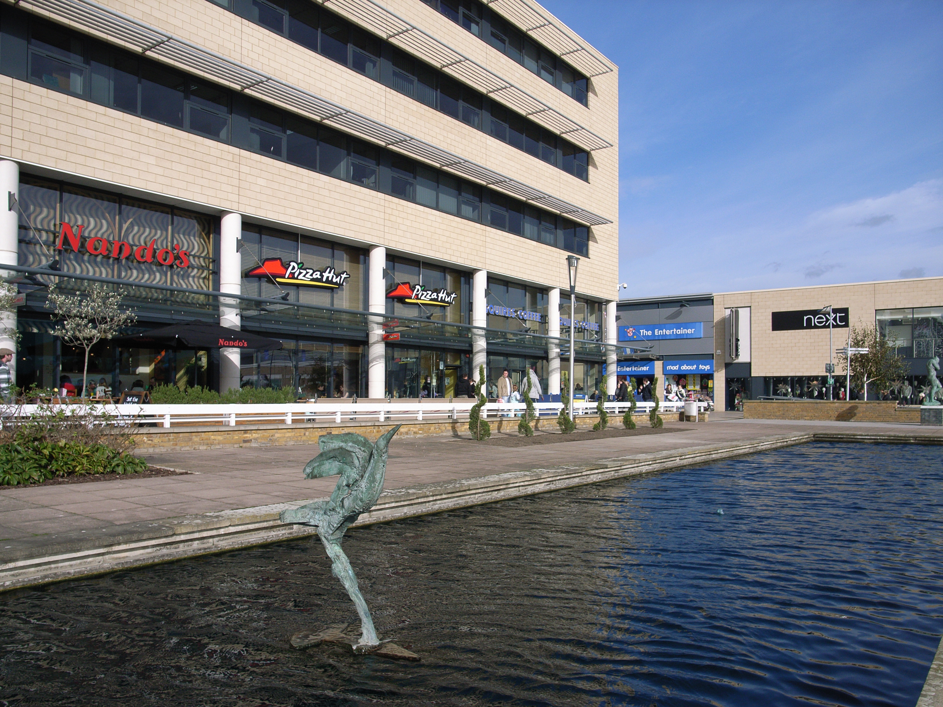
Puffers Green Images
Images are sourced within 2km of 51.765123/0.121799 or Grid Reference TL4609. Thanks to Geograph Open Source API. All images are credited.

Puffers Green is located at Grid Ref: TL4609 (Lat: 51.765123, Lng: 0.121799)
Administrative County: Essex
District: Harlow
Police Authority: Essex
What 3 Words
///groom.proof.phones. Near Harlow, Essex
Nearby Locations
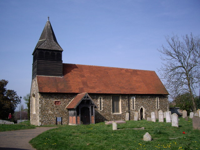
Related Wikis

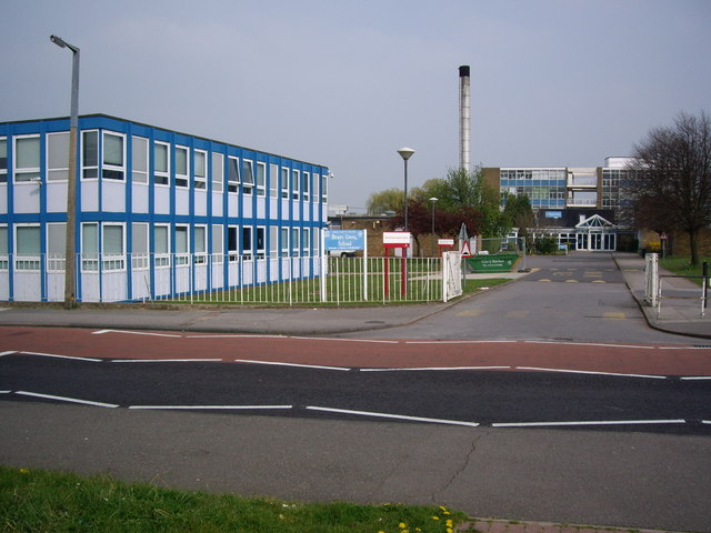
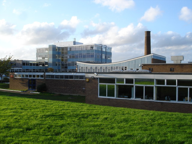
Brays Grove Community School
Brays Grove Community School was a mixed secondary school located within the town of Harlow in Essex, England. The school was closed in 2008 due to falling...

Passmores Academy
Passmores Academy is a 11-16 secondary school in Harlow, Essex.The academy has an annual intake of 240 pupils in Year 7, and approximately 1,000 pupils...

Church Langley
Church Langley is part of Harlow, Essex, England.Church Langley was built from 1992 and was originally named Brenthall Park, consisting of three developers...

Newhall, Essex
Newhall is a new housing estate within Harlow, Essex, England. In 2009, it was being built on land originally forming part of Soper Farm. A landowner led...
St Mark's West Essex Catholic School
St Mark's West Essex Catholic School is a Roman Catholic secondary school and sixth form with academy status located in Harlow, Essex, England. The school...

Our Lady of Fatima Church, Harlow
Our Lady of Fatima's Church is a Roman Catholic parish church in Harlow, Essex, England. It was designed between 1953 and 1954 by Gerard Goalen and was...
Harlow
Harlow is a town and local government district located in the west of Essex, England. Founded as a new town, it is situated on the border with Hertfordshire...
Burnt Mill Academy
Burnt Mill Academy (formerly known de facto as Burnt Mill School) is a secondary school academy and specialist performing arts college situated on First...
Nearby Amenities
Located within 500m of 51.765123,0.121799Have you been to Puffers Green?
Leave your review of Puffers Green below (or comments, questions and feedback).