Gill Wood
Wood, Forest in Sussex Wealden
England
Gill Wood

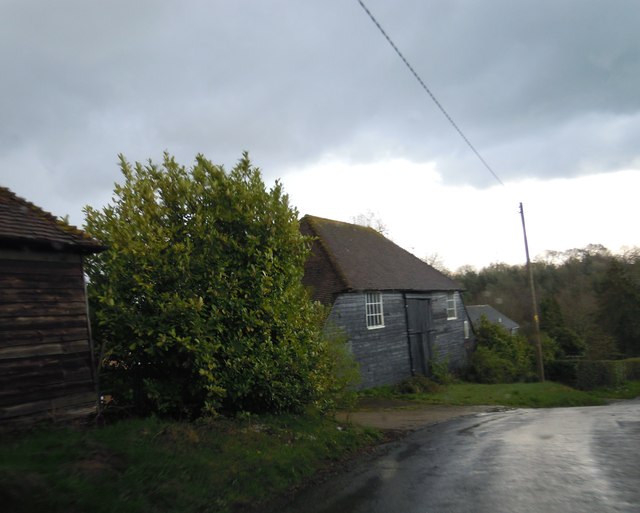
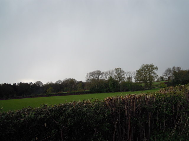
Gill Wood is a picturesque forest located in the county of Sussex, England. Covering an area of approximately 50 acres, it is nestled within the South Downs National Park, offering visitors a stunning natural setting to explore. The forest is situated just a few miles away from the charming village of Ditchling, making it easily accessible for both locals and tourists.
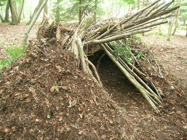
Gill Wood is characterized by its diverse range of tree species, including oak, beech, ash, and hazel. The dense vegetation creates a rich habitat for a variety of wildlife, such as deer, birds, and small mammals. Nature enthusiasts and birdwatchers are often drawn to the area due to its abundance of wildlife and tranquil surroundings.
Within the wood, there are several well-maintained walking trails that wind through the trees, providing visitors with an opportunity to immerse themselves in nature. These paths are suitable for all levels of walkers, from leisurely strollers to more experienced hikers. Along the way, visitors may encounter hidden streams and small waterfalls, adding to the enchanting atmosphere of the wood.
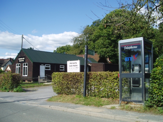
Gill Wood is a popular destination for families, offering ample space for picnics and outdoor activities. There is also a designated picnic area with benches, perfect for enjoying a packed lunch amidst the peaceful surroundings. Additionally, the wood is equipped with well-maintained parking facilities and toilet facilities, ensuring visitors have a comfortable experience.
Overall, Gill Wood in Sussex is a charming and tranquil forest that offers visitors a chance to escape the hustle and bustle of everyday life and connect with nature. Its beautiful scenery, diverse wildlife, and well-maintained facilities make it a must-visit destination for nature lovers and outdoor enthusiasts alike.
If you have any feedback on the listing, please let us know in the comments section below.
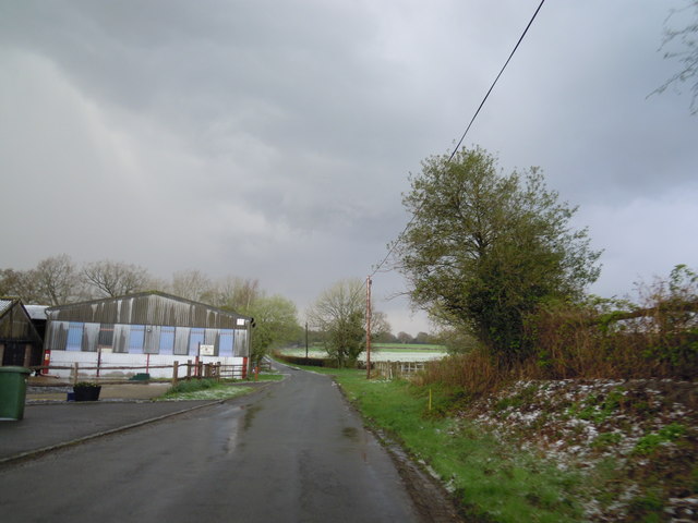
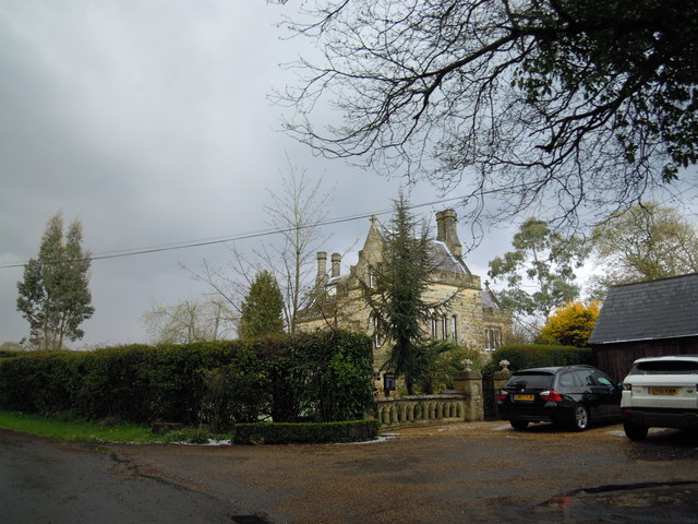
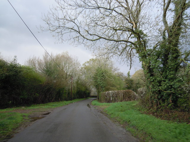
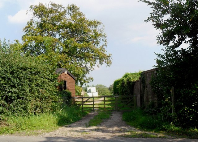
Gill Wood Images
Images are sourced within 2km of 51.025155/0.022860319 or Grid Reference TQ4127. Thanks to Geograph Open Source API. All images are credited.


Gill Wood is located at Grid Ref: TQ4127 (Lat: 51.025155, Lng: 0.022860319)
Administrative County: East Sussex
District: Wealden
Police Authority: Sussex
What 3 Words
///waltz.bond.cure. Near Horsted Keynes, West Sussex
Nearby Locations
Related Wikis

Furner's Green
Furner's Green is a hamlet in the civil parish of Danehill in East Sussex, England. == Geography == Furner's Green lies on the Greenwich Meridian about...

Danehill, East Sussex
Danehill is a village in East Sussex, England. == Religious sites == There are two Anglican churches in the parish: one at Danehill (dedicated to All Saints...

Nutley, East Sussex
Nutley is a village in the Wealden District of East Sussex, England. It lies about 5 mi (8.0 km) north-west of Uckfield, the main road being the A22. Nutley...
Chelwood Gate
Chelwood Gate is a small village within the civil parish of Danehill in the Wealden district of East Sussex, England. Its nearest town is Uckfield, which...

Sheffield Park and Garden
Sheffield Park and Garden is an informal landscape garden five miles east of Haywards Heath, in East Sussex, England. It was originally laid out in the...

Isaac Roberts' Observatory
Isaac Roberts' Observatory was an observatory, installed in the private home of the British astronomer Isaac Roberts. It was in Crowborough, Sussex, and...

Sheffield Park cricket ground
Sheffield Park is a cricket ground at the Sheffield Park estate, located near Uckfield, East Sussex, England. From 1881 to 1896 it was the home ground...

Sussex
Sussex (; from the Old English Sūþsēaxe; lit. 'South Saxons') is a historic county in South East England that is bounded to the west by Hampshire, north...
Related Videos

Landscape Adventures S1 Ep10 | SEASON FINALE | Take Me to the Bridge (Chelwood Vachery)
SEASON FINALE! It's episode 10. I finally make it to Chelwood Vachery. Will everything go to plan? It would make a nice change if ...


Adventures in a bus and meeting wallabies! 🚌🦘 #2
Business Email: ◕ mirelalilova@abv.bg Instagram: ◕ http://instagram.com/mirelalilova Twitter: ◕ https://twitter.com/mirelkaaaaa ...

Jimmy Edwards - Famous Grave
Please join me in this video, Jimmy Edwards - Famous Grave. Jimmy Edwards was a British post-war Comedian who became a ...
Nearby Amenities
Located within 500m of 51.025155,0.022860319Have you been to Gill Wood?
Leave your review of Gill Wood below (or comments, questions and feedback).