Brookhouse Woods
Wood, Forest in Sussex Wealden
England
Brookhouse Woods
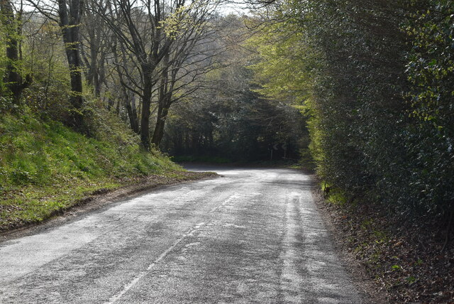
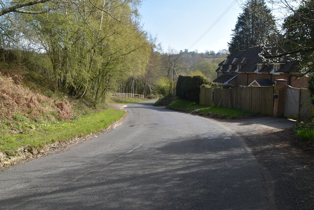
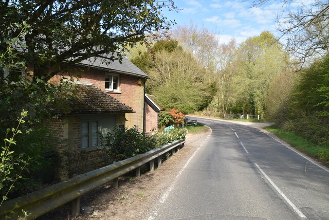
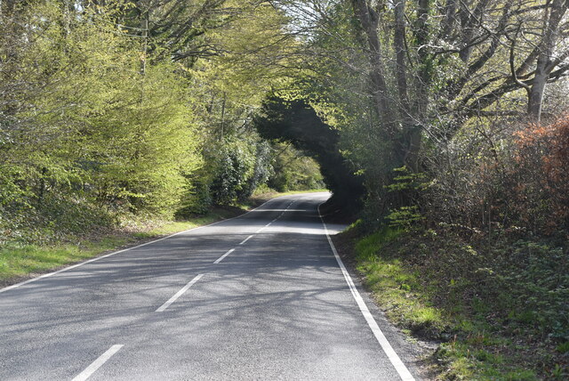
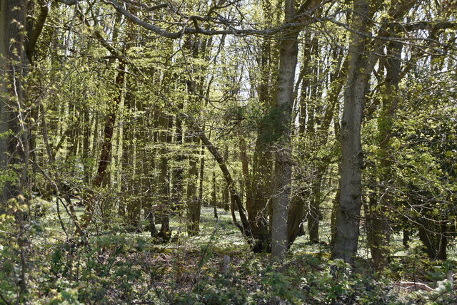
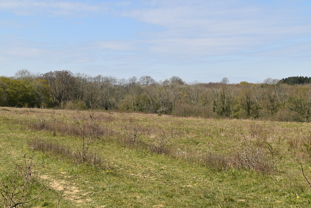
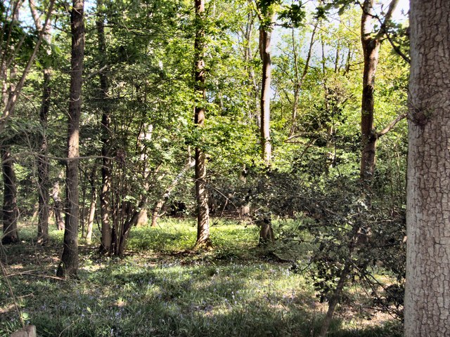
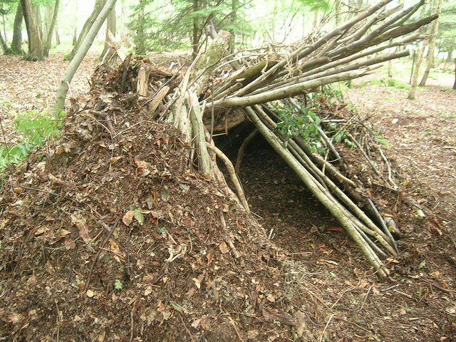
Brookhouse Woods is a picturesque woodland area located in Sussex, England. Covering an extensive area, this enchanting forest is a haven for nature lovers and outdoor enthusiasts alike. The woods are primarily composed of oak, beech, and ash trees, which create a lush and vibrant canopy overhead.
Inside the woods, an intricate network of winding trails and paths offers visitors the opportunity to explore and immerse themselves in the beauty of the natural surroundings. The forest floor is carpeted with a rich variety of wildflowers, ferns, and mosses, further enhancing the enchanting atmosphere.
Brookhouse Woods is home to a diverse range of wildlife. Birdwatchers will delight in the abundance of species that call the woods home, including woodpeckers, thrushes, and owls. In addition, the forest provides a habitat for a variety of mammals, such as deer, squirrels, and rabbits.
The woods also boast a tranquil stream, which meanders through the trees, adding to the serene ambiance. This water source attracts a range of aquatic life, including frogs, newts, and dragonflies.
Visitors to Brookhouse Woods can enjoy a range of activities, such as walking, hiking, and picnicking. The peaceful surroundings make it an ideal location for those seeking relaxation and a connection with nature. The woods are also popular for camping and nature photography, providing opportunities to capture the breathtaking scenery and wildlife.
Overall, Brookhouse Woods in Sussex offers a captivating and immersive experience in a stunning natural setting, making it a must-visit destination for anyone seeking solace in the beauty of the great outdoors.
If you have any feedback on the listing, please let us know in the comments section below.
Brookhouse Woods Images
Images are sourced within 2km of 51.029379/0.017781724 or Grid Reference TQ4127. Thanks to Geograph Open Source API. All images are credited.


Brookhouse Woods is located at Grid Ref: TQ4127 (Lat: 51.029379, Lng: 0.017781724)
Administrative County: East Sussex
District: Wealden
Police Authority: Sussex
What 3 Words
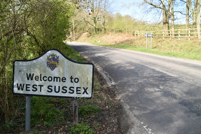
///village.tricks.cadet. Near Horsted Keynes, West Sussex
Nearby Locations
Related Wikis

Danehill, East Sussex
Danehill is a village in East Sussex, England. == Religious sites == There are two Anglican churches in the parish: one at Danehill (dedicated to All Saints...

Furner's Green
Furner's Green is a hamlet in the civil parish of Danehill in East Sussex, England. == Geography == Furner's Green lies on the Greenwich Meridian about...
Chelwood Gate
Chelwood Gate is a small village within the civil parish of Danehill in the Wealden district of East Sussex, England. Its nearest town is Uckfield, which...

Isaac Roberts' Observatory
Isaac Roberts' Observatory was an observatory, installed in the private home of the British astronomer Isaac Roberts. It was in Crowborough, Sussex, and...

Nutley, East Sussex
Nutley is a village in the Wealden District of East Sussex, England. It lies about 5 mi (8.0 km) north-west of Uckfield, the main road being the A22. Nutley...

Birch Grove
Birch Grove, Horsted Keynes, West Sussex, England is a country house dating from 1926. It was the family home of the British prime minister Harold Macmillan...

Horsted Keynes
Horsted Keynes KAYNZ is a village and civil parish in the Mid Sussex District of West Sussex, England. The village is about 5 miles (8 km) north east...

Freshfield Lane
Freshfield Lane is a 17-hectare (42-acre) geological Site of Special Scientific Interest east of Haywards Heath in West Sussex. It is a Geological Conservation...
Nearby Amenities
Located within 500m of 51.029379,0.017781724Have you been to Brookhouse Woods?
Leave your review of Brookhouse Woods below (or comments, questions and feedback).