Moors Wood

Wood, Forest in Lincolnshire East Lindsey

England

Moors Wood

Direction Sign – Signpost at Aby village Located on the west side of a T junction in Aby in Aby with Greenfield parish. 3 arms and no finial. See also <a title="https://www.geograph.org.uk/photo/1003737" href="https://www.geograph.org.uk/photo/1003737">Link</a>.

Milestone Society National ID: LI_TF4178
Direction Sign – Signpost at Aby village Credit: A Riley

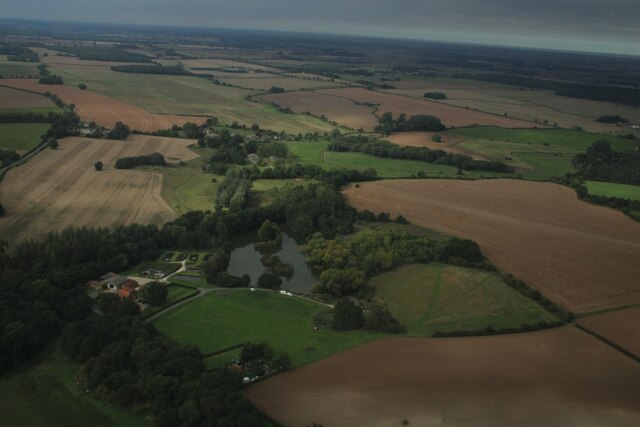
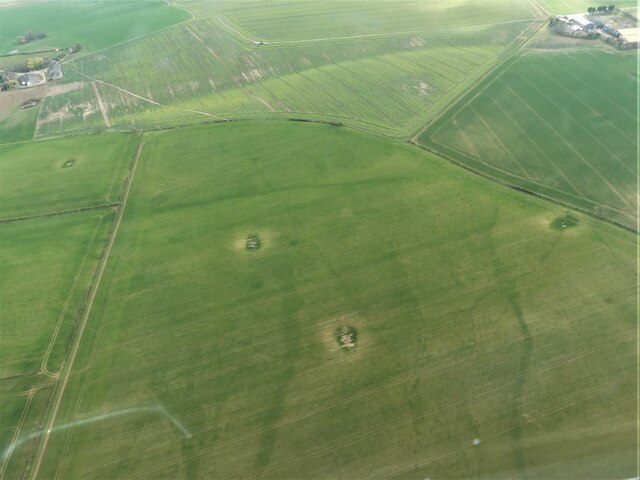
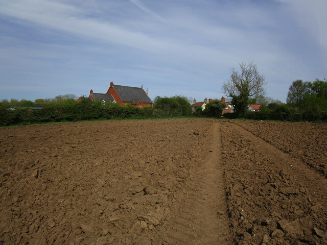
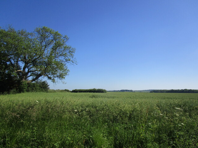
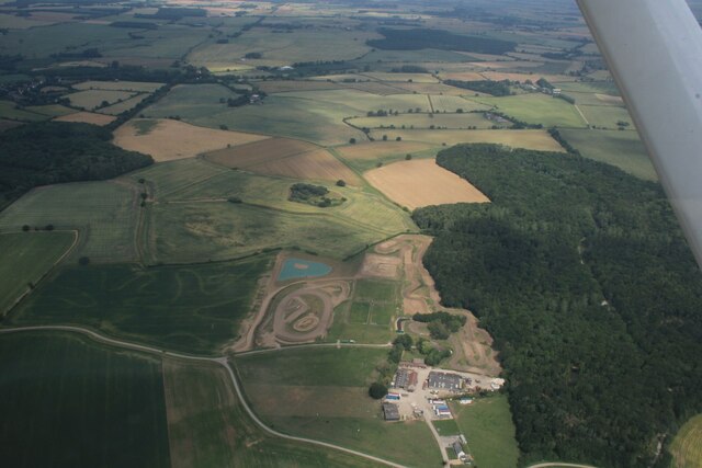
Moors Wood is a picturesque forest located in Lincolnshire, England. Covering an area of approximately 150 hectares, it is known for its diverse range of flora and fauna, making it a popular destination for nature enthusiasts and hikers alike.

The wood is primarily composed of broadleaf trees, such as oak, beech, and ash, which create a dense canopy that provides shade and shelter for the various wildlife species that inhabit the area. The forest floor is rich in mosses, ferns, and wildflowers, adding to the overall beauty and tranquility of the woodland.

Moors Wood is home to a wide range of wildlife, including deer, foxes, badgers, and numerous bird species. Birdwatchers frequently visit the forest to spot elusive species such as woodpeckers, owls, and buzzards. The forest also provides an ideal habitat for smaller creatures like squirrels, hedgehogs, and rabbits.

The wood is crisscrossed with several walking trails, allowing visitors to explore its natural beauty at their own pace. These trails vary in difficulty, making them suitable for both casual strolls and more challenging hikes. Along the way, visitors can enjoy breathtaking views of the surrounding countryside and may even chance upon hidden ponds and streams.

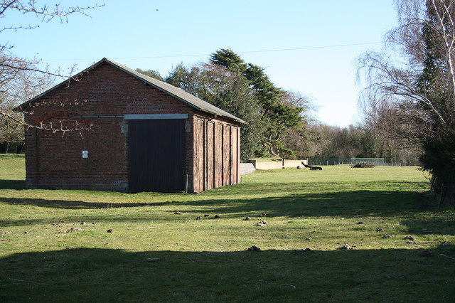
Moors Wood is managed by the local conservation trust, which ensures its preservation and protection. The trust organizes educational programs and guided tours to raise awareness about the importance of forests and their role in maintaining ecological balance.

In conclusion, Moors Wood is a captivating forest in Lincolnshire, offering a peaceful retreat for nature lovers and providing a haven for diverse wildlife.

If you have any feedback on the listing, please let us know in the comments section below.
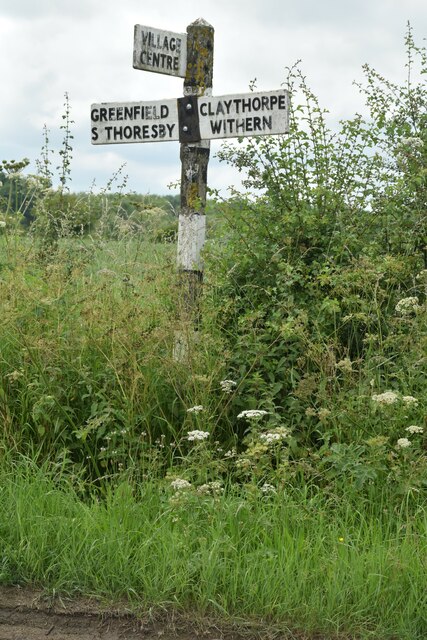
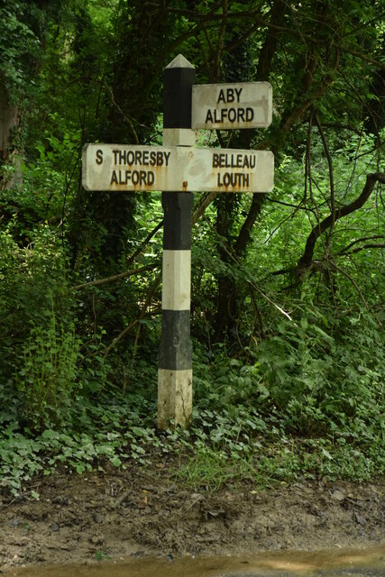
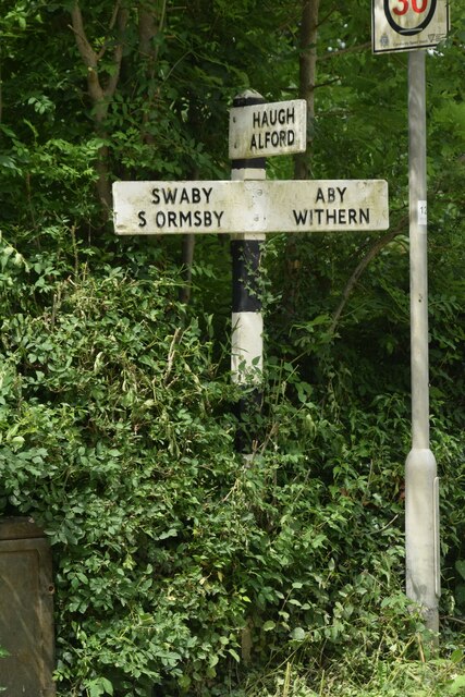
Moors Wood Images

Images are sourced within 2km of 53.275728/0.1219151 or Grid Reference TF4177. Thanks to Geograph Open Source API. All images are credited.

Direction Sign – Signpost at Aby village Located on the west side of a T junction in Aby in Aby with Greenfield parish. 3 arms and no finial. See also <a title="https://www.geograph.org.uk/photo/1003737" href="https://www.geograph.org.uk/photo/1003737">Link</a>.

Milestone Society National ID: LI_TF4178
Direction Sign – Signpost at Aby village
Located on the west side of a T junction in Aby in Aby with Greenfield parish. 3 arms and no finial. See also Link. Milestone Society National ID: LI_TF4178
Direction Sign – Signpost northeast of South Thoresby Located on the west side of a T junction northeast of the village in South Thoresby parish. 3 arms and no finial. See also <a title="https://www.geograph.org.uk/photo/1738562" href="https://www.geograph.org.uk/photo/1738562">Link</a>.

Milestone Society National ID: LI_TF4077
Direction Sign – Signpost northeast of South Thoresby
Located on the west side of a T junction northeast of the village in South Thoresby parish. 3 arms and no finial. See also Link. Milestone Society National ID: LI_TF4077
Direction Sign – Signpost opposite Haugh Lane in South Thoresby Located on the northwest side of a T junction opposite Haugh Lane in South Thoresby parish. 3 arms and no finial.

Milestone Society National ID: LI_TF4077A
Direction Sign – Signpost opposite Haugh Lane in South Thoresby
Located on the northwest side of a T junction opposite Haugh Lane in South Thoresby parish. 3 arms and no finial. Milestone Society National ID: LI_TF4077A
Belleau: aerial 2021
Direction Sign – Signpost between Claythorpe and Belleau Located on the northeast side of the T junction between Claythorpe and Belleau in Claythorpe parish. 3 arms and no finial. See also <a title="https://www.geograph.org.uk/photo/1740021" href="https://www.geograph.org.uk/photo/1740021">Link</a>.

Milestone Society National ID: LI_TF4079
Direction Sign – Signpost between Claythorpe and Belleau
Located on the northeast side of the T junction between Claythorpe and Belleau in Claythorpe parish. 3 arms and no finial. See also Link. Milestone Society National ID: LI_TF4079
Chalk Quarry at South Thoresby: aerial 2021 See <span class="nowrap"><a title="https://gbmsouththoresbyquarry.co.uk/" rel="nofollow ugc noopener" href="https://gbmsouththoresbyquarry.co.uk/">Link</a><img style="margin-left:2px;" alt="External link" title="External link - shift click to open in new window" src="https://s1.geograph.org.uk/img/external.png" width="10" height="10"/></span>
Chalk Quarry at South Thoresby: aerial 2021
See LinkExternal link
Claythorpe: aerial 2021
Limestone quarry at South Thorseby: aerial 2022
Trout Farm, Belleau: aerial 2022
Waterway near the Old Gatehouse, SE of Swinn Wood: aerial 2022
Dog-leg in Viking Link cable near Rigsby Wood: aerial 2022 Viking Link is a 1,400 MW HVDC submarine power cable under construction between the United Kingdom and Denmark. See: <span class="nowrap"><a title="https://en.wikipedia.org/wiki/Viking_Link" rel="nofollow ugc noopener" href="https://en.wikipedia.org/wiki/Viking_Link">Link</a><img style="margin-left:2px;" alt="External link" title="External link - shift click to open in new window" src="https://s1.geograph.org.uk/img/external.png" width="10" height="10"/></span>

It comes onshore south of Sandilands (alongside Boy Grift Drain) and is to finish at Bicker Fen substation.

See also <a href="https://www.geograph.org.uk/photo/7292244">TF4275 : Viking Link cable installation SE of Haugh: aerial 2022 </a>, <a href="https://www.geograph.org.uk/photo/6818182">TF3674 : Red Hill, Brinkhill and Viking Link cable run from Sandilands: aerial 2021</a> and <a href="https://www.geograph.org.uk/photo/6818114">TF3973 : Viking Link cable run passing Ulceby cross: aerial 2021</a>.
Dog-leg in Viking Link cable near Rigsby Wood: aerial 2022
Viking Link is a 1,400 MW HVDC submarine power cable under construction between the United Kingdom and Denmark. See: LinkExternal link It comes onshore south of Sandilands (alongside Boy Grift Drain) and is to finish at Bicker Fen substation. See also TF4275 : Viking Link cable installation SE of Haugh: aerial 2022 , TF3674 : Red Hill, Brinkhill and Viking Link cable run from Sandilands: aerial 2021 and TF3973 : Viking Link cable run passing Ulceby cross: aerial 2021.
Soil Mark on field NE of Haugh: aerial 2022
Viking Link cable installation SE of Haugh: aerial 2022  Viking Link is a 1,400 MW HVDC submarine power cable under construction between the United Kingdom and Denmark. See: <span class="nowrap"><a title="https://en.wikipedia.org/wiki/Viking_Link" rel="nofollow ugc noopener" href="https://en.wikipedia.org/wiki/Viking_Link">Link</a><img style="margin-left:2px;" alt="External link" title="External link - shift click to open in new window" src="https://s1.geograph.org.uk/img/external.png" width="10" height="10"/></span>

It comes onshore south of Sandilands (alongside Boy Grift Drain) and is to finish at Bicker Fen substation.

See also <a href="https://www.geograph.org.uk/photo/7292237">TF4276 : Dog-leg in Viking Link cable near Rigsby Wood: aerial 2022</a>, <a href="https://www.geograph.org.uk/photo/6818182">TF3674 : Red Hill, Brinkhill and Viking Link cable run from Sandilands: aerial 2021</a> and <a href="https://www.geograph.org.uk/photo/6818114">TF3973 : Viking Link cable run passing Ulceby cross: aerial 2021</a>.
Viking Link cable installation SE of Haugh: aerial 2022
Viking Link is a 1,400 MW HVDC submarine power cable under construction between the United Kingdom and Denmark. See: LinkExternal link It comes onshore south of Sandilands (alongside Boy Grift Drain) and is to finish at Bicker Fen substation. See also TF4276 : Dog-leg in Viking Link cable near Rigsby Wood: aerial 2022, TF3674 : Red Hill, Brinkhill and Viking Link cable run from Sandilands: aerial 2021 and TF3973 : Viking Link cable run passing Ulceby cross: aerial 2021.
Former chalk pits on field at Haugh: aerial 2023
Footpath approaching Aby The former Methodist chapel, now a house, on the left.
Footpath approaching Aby
The former Methodist chapel, now a house, on the left.
Dovecote at Belleau Dates from the early sixteenth century <span class="nowrap"><a title="https://historicengland.org.uk/listing/the-list/list-entry/1063631?section=official-list-entry" rel="nofollow ugc noopener" href="https://historicengland.org.uk/listing/the-list/list-entry/1063631?section=official-list-entry">Link</a><img style="margin-left:2px;" alt="External link" title="External link - shift click to open in new window" src="https://s1.geograph.org.uk/img/external.png" width="10" height="10"/></span>
Dovecote at Belleau
Dates from the early sixteenth century LinkExternal link
Wheatfield off Greenfield Lane
Across Aby to Mother Wood and a leisure facility: aerial 2023
Show me another place!

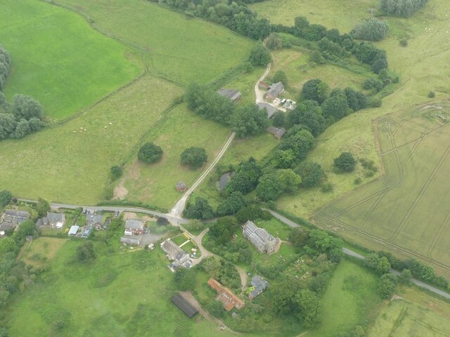
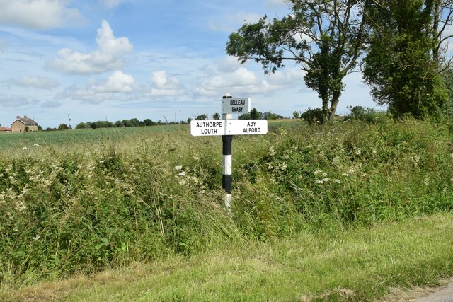
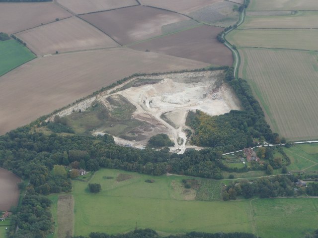
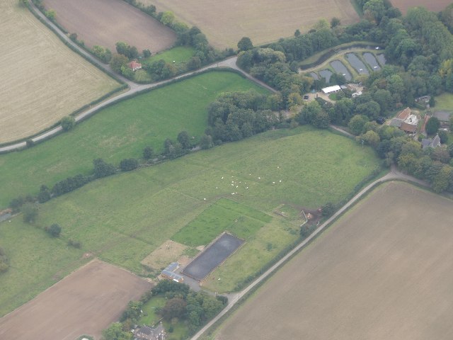
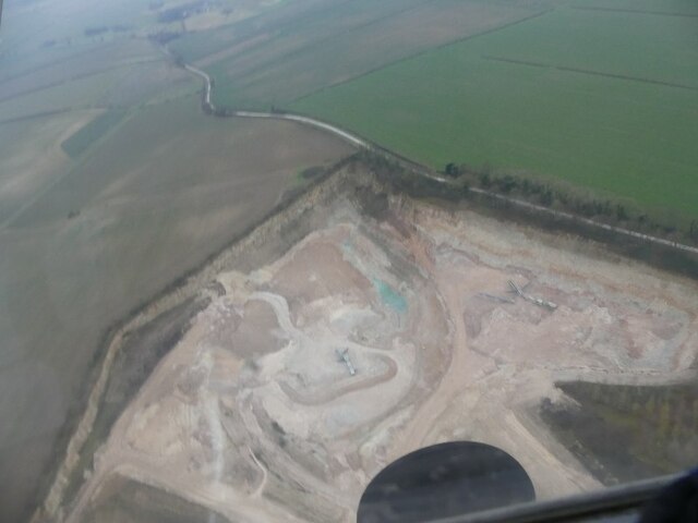
Moors Wood is located at Grid Ref: TF4177 (Lat: 53.275728, Lng: 0.1219151)

Administrative County: Lincolnshire

District: East Lindsey

Police Authority: Lincolnshire

What 3 Words

///acclaim.daunted.gems. Near Alford, Lincolnshire

Nearby Locations

Parson's Holt Moors Wood

Related Wikis

Aby with Greenfield

Aby with Greenfield is a civil parish in the East Lindsey district of Lincolnshire, England. The population of the civil parish at the 2011 Census was...

Aby, Lincolnshire

Aby ( AY-bee) is a village in the East Lindsey district of Lincolnshire, England. It is approximately 30 miles (48 km) east from the city and county town...

South Thoresby

South Thoresby is a village and civil parish in the East Lindsey district of Lincolnshire, England. It is situated 10 miles (16 km) north-east from Horncastle...

Haugh, Lincolnshire

Haugh is a hamlet and civil parish in the East Lindsey district of Lincolnshire, England. It is situated about 2 miles (3 km) south-west from the town...

Aby for Claythorpe railway station

Aby for Claythorpe was a railway station on the East Lincolnshire Railway which served the hamlets of Aby and Claythorpe in Lincolnshire between 1848 and...

Claythorpe

Claythorpe is a hamlet about 5 miles (8 km) north-west from the town of Alford, Lincolnshire, England, most notable for its water mill. The population...

Greenfield Priory

Greenfield Priory was a Cistercian priory in Greenfield, near Aby, Lincolnshire, England. It was founded before the year 1153 by Eudo of Grainsby and...

Belleau, Lincolnshire

Belleau is a hamlet and civil parish in the East Lindsey district of Lincolnshire, England. It is situated approximately 7 miles (11 km) south-east of...

Have you been to Moors Wood?

Leave your review of Moors Wood below (or comments, questions and feedback).