The Larches
Wood, Forest in Sussex Wealden
England
The Larches

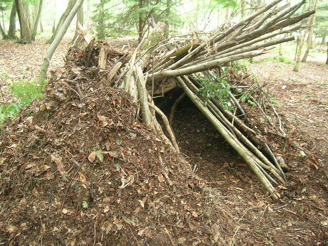
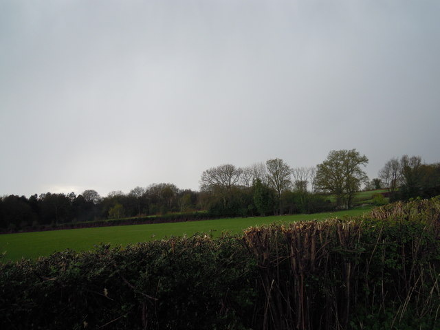
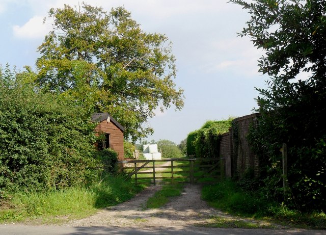
The Larches, located in Sussex, is a sprawling woodland area renowned for its picturesque beauty and rich ecological diversity. Spanning over a vast expanse, The Larches is home to a thriving community of trees, predominantly consisting of larches but also encompassing a variety of other tree species such as oak, birch, and beech.
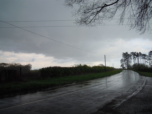
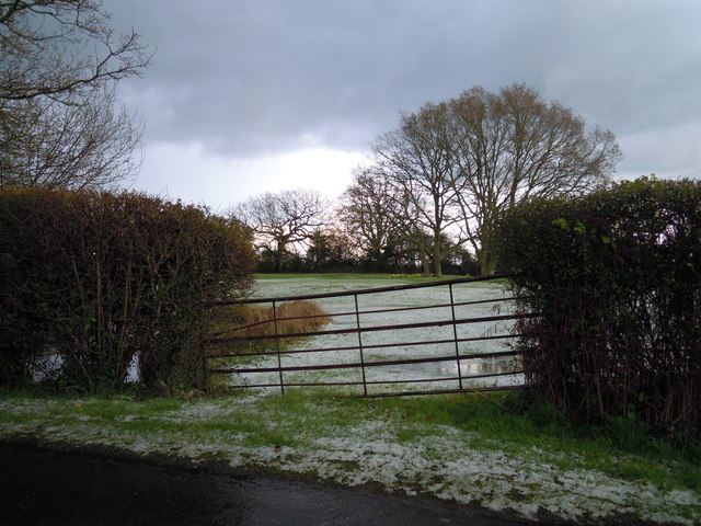
The woodland is characterized by its dense canopy cover, providing a cool and tranquil atmosphere even during the hottest summer months. The forest floor is adorned with a vibrant carpet of mosses, ferns, and wildflowers, adding to the enchanting ambiance. Numerous well-maintained trails wind through the forest, allowing visitors to explore its captivating nooks and crannies at their leisure.
The Larches is not only a haven for nature enthusiasts but also serves as a critical habitat for a diverse range of wildlife. The forest provides shelter for various bird species, including woodpeckers, owls, and songbirds, making it a haven for birdwatchers. Additionally, the woodland is home to a variety of mammals, including deer, foxes, and badgers, which can occasionally be spotted by lucky visitors.
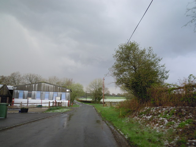
The Larches is also a popular destination for outdoor activities such as hiking, cycling, and picnicking. The well-preserved trails offer a mix of easy walks and more challenging routes, catering to individuals of all fitness levels. The tranquil surroundings and breathtaking vistas make The Larches an ideal location for those seeking an escape from the hustle and bustle of everyday life.
Overall, The Larches in Sussex is a captivating woodland oasis, offering visitors a chance to immerse themselves in nature, explore diverse ecosystems, and indulge in various outdoor activities.
If you have any feedback on the listing, please let us know in the comments section below.
The Larches Images
Images are sourced within 2km of 51.029677/0.023428045 or Grid Reference TQ4127. Thanks to Geograph Open Source API. All images are credited.


The Larches is located at Grid Ref: TQ4127 (Lat: 51.029677, Lng: 0.023428045)
Administrative County: East Sussex
District: Wealden
Police Authority: Sussex
What 3 Words
///verve.recovery.decrease. Near Horsted Keynes, West Sussex
Nearby Locations
Related Wikis

Danehill, East Sussex
Danehill is a village in East Sussex, England. == Religious sites == There are two Anglican churches in the parish: one at Danehill (dedicated to All Saints...

Furner's Green
Furner's Green is a hamlet in the civil parish of Danehill in East Sussex, England. == Geography == Furner's Green lies on the Greenwich Meridian about...
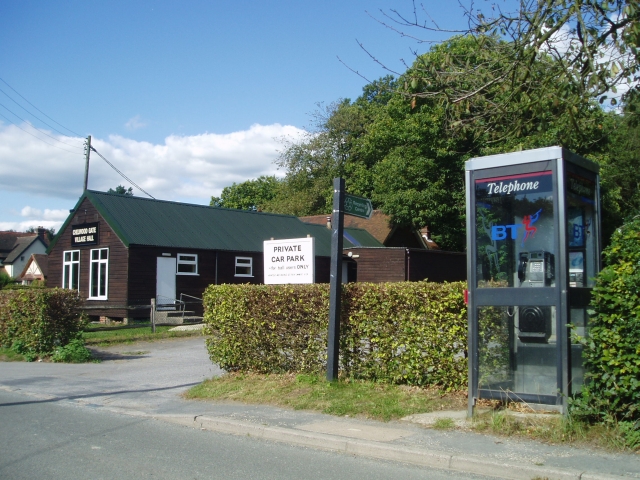
Chelwood Gate
Chelwood Gate is a small village within the civil parish of Danehill in the Wealden district of East Sussex, England. Its nearest town is Uckfield, which...

Nutley, East Sussex
Nutley is a village in the Wealden District of East Sussex, England. It lies about 5 mi (8.0 km) north-west of Uckfield, the main road being the A22. Nutley...

Isaac Roberts' Observatory
Isaac Roberts' Observatory was an observatory, installed in the private home of the British astronomer Isaac Roberts. It was in Crowborough, Sussex, and...

Birch Grove
Birch Grove, Horsted Keynes, West Sussex, England is a country house dating from 1926. It was the family home of the British prime minister Harold Macmillan...

Sheffield Park and Garden
Sheffield Park and Garden is an informal landscape garden five miles east of Haywards Heath, in East Sussex, England. It was originally laid out in the...
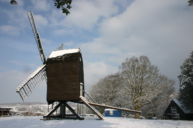
Nutley Windmill
Nutley Windmill is a grade II* listed open trestle post mill at Nutley, East Sussex, England which has been restored to working order. == History == Nutley...
Nearby Amenities
Located within 500m of 51.029677,0.023428045Have you been to The Larches?
Leave your review of The Larches below (or comments, questions and feedback).