Bottoms Wood

Wood, Forest in Surrey Tandridge

England

Bottoms Wood

Eden Brook from the air To the east of Lingfield. Haxted Road can be seen beyond the brook. Viewed from a Gatwick bound flight from Glasgow.
Eden Brook from the air Credit: Thomas Nugent

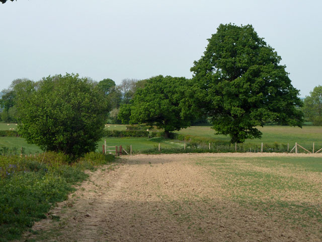
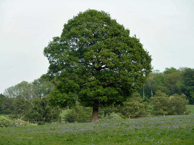
Bottoms Wood is a picturesque woodland located in Surrey, England. Stretching over an area of approximately 20 hectares, the wood is predominantly composed of a mix of broadleaf trees, including oak, beech, and ash. Situated on gently sloping terrain, Bottoms Wood offers visitors a tranquil escape from the hustle and bustle of everyday life.

The forest floor of Bottoms Wood is adorned with a rich carpet of ferns, bluebells, and wild garlic, creating a vibrant and colorful landscape during the spring and summer months. These plants provide an ideal habitat for a variety of wildlife, including deer, squirrels, and a diverse range of bird species.

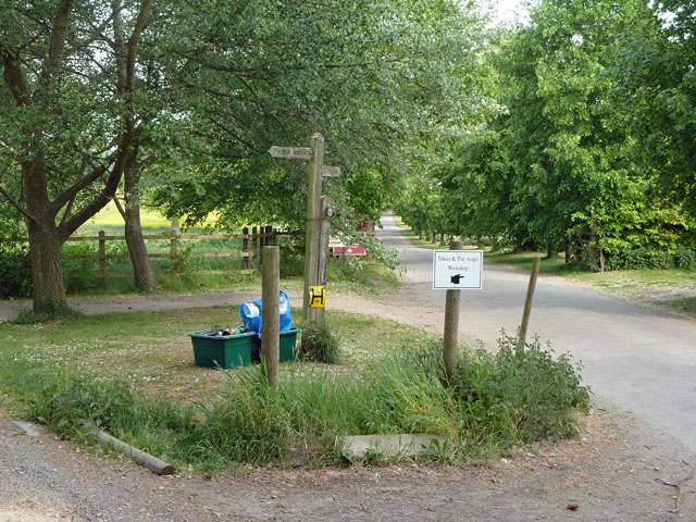
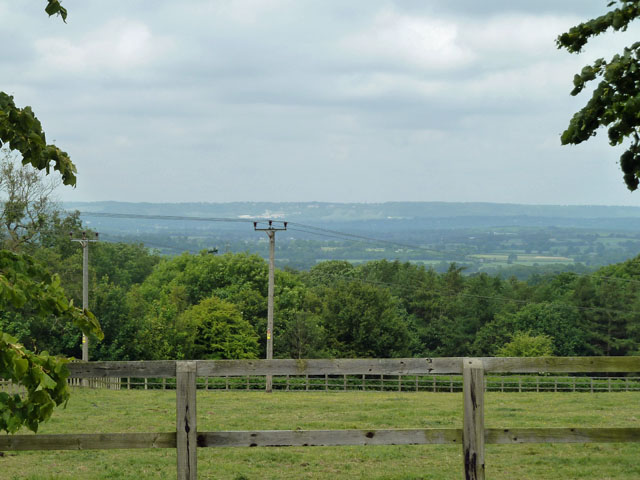
The wood boasts a network of well-maintained paths and trails, allowing visitors to explore its natural wonders at their own pace. The paths wind their way through the woodland, providing stunning views of the surrounding countryside and opportunities for peaceful contemplation. Along the way, visitors may encounter quaint wooden benches and picnic areas, inviting them to take a moment to rest and enjoy the tranquil surroundings.

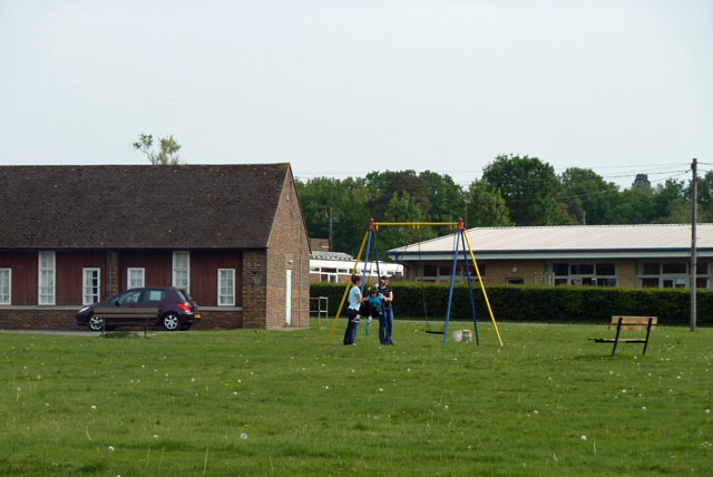
Bottoms Wood is a popular destination for nature enthusiasts, families, and avid walkers alike. The wood is easily accessible by car, with ample parking available nearby. The site also features basic amenities, such as toilets and information boards, providing visitors with essential facilities and helpful guidance about the wood's flora and fauna.

Overall, Bottoms Wood offers a scenic and serene setting for individuals looking to immerse themselves in the beauty of nature, making it a must-visit destination for anyone seeking a peaceful retreat in the heart of Surrey.

If you have any feedback on the listing, please let us know in the comments section below.
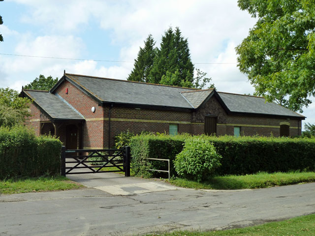
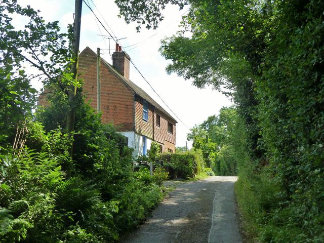
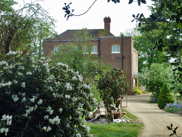
Bottoms Wood Images

Images are sourced within 2km of 51.176384/0.029658597 or Grid Reference TQ4143. Thanks to Geograph Open Source API. All images are credited.

Eden Brook from the air To the east of Lingfield. Haxted Road can be seen beyond the brook. Viewed from a Gatwick bound flight from Glasgow.
Eden Brook from the air
To the east of Lingfield. Haxted Road can be seen beyond the brook. Viewed from a Gatwick bound flight from Glasgow.
Puttenden Manor A grade II*(star) listed building. 15th century with 17th and 19/20th century additions.
Puttenden Manor
A grade II*(star) listed building. 15th century with 17th and 19/20th century additions.
Wood stack and plantation, Puttenden Manor The public footpath has been diverted from its former straight course through the grounds of the manor to skirt through this plantation of mixed broad-leaved trees.
Wood stack and plantation, Puttenden Manor
The public footpath has been diverted from its former straight course through the grounds of the manor to skirt through this plantation of mixed broad-leaved trees.
The Eden Brook at footpath crossing Footpath 387 crosses by a steel footbridge. The Eden Brook seems rather bigger than the River Eden further north.
The Eden Brook at footpath crossing
Footpath 387 crosses by a steel footbridge. The Eden Brook seems rather bigger than the River Eden further north.
Footpath 387 towards Dencher Wood The farm buildings still shown on the 1:50000 map here have been gone for some years. There is only some hard standing - presumably former floors, this derelict feeder, and not much else. The footpath crosses a ditch by a bridge ahead and then turns right along the field parallel with the wood edge.
Footpath 387 towards Dencher Wood
The farm buildings still shown on the 1:50000 map here have been gone for some years. There is only some hard standing - presumably former floors, this derelict feeder, and not much else. The footpath crosses a ditch by a bridge ahead and then turns right along the field parallel with the wood edge.
Having a swing, St Piers NCYPE At the National Centre for Young People with Epilepsy, one of the young people has a swing, superintended by two carers and wearing a crash helmet. Footpath 381 runs along the edge of the grounds, and some of the buildings to be seen from it are rather severe, rather like military barracks. Those seen here are better examples.
Having a swing, St Piers NCYPE
At the National Centre for Young People with Epilepsy, one of the young people has a swing, superintended by two carers and wearing a crash helmet. Footpath 381 runs along the edge of the grounds, and some of the buildings to be seen from it are rather severe, rather like military barracks. Those seen here are better examples.
Footpath 379, Lingfield Footpath 381 branches left just beyond the stile ahead.
Footpath 379, Lingfield
Footpath 381 branches left just beyond the stile ahead.
The end of the public road The public Ford Manor Road from the right finishes here, but continues seamlessly as a private road and public bridleway 396 towards Ford Manor, Greathed Manor and a few other premises. A track forks left to Woodgate farm, and two public footpaths also turn left.
The end of the public road
The public Ford Manor Road from the right finishes here, but continues seamlessly as a private road and public bridleway 396 towards Ford Manor, Greathed Manor and a few other premises. A track forks left to Woodgate farm, and two public footpaths also turn left.
Pond, Greathed Manor Within the parkland surrounding Greathed and Park Manors.
Pond, Greathed Manor
Within the parkland surrounding Greathed and Park Manors.
Oak and bluebells near Hoopers Farm It is unusual in these parts for bluebells to grow thickly in an open field. Perhaps it was once a wood? Indeed it was. Kiln Wood is roughly square in late Victorian maps, extending over this area. Now it is a much smaller triangle behind and right of the viewpoint.
Oak and bluebells near Hoopers Farm
It is unusual in these parts for bluebells to grow thickly in an open field. Perhaps it was once a wood? Indeed it was. Kiln Wood is roughly square in late Victorian maps, extending over this area. Now it is a much smaller triangle behind and right of the viewpoint.
Yellow auto-suggestion As I gazed at this photograph of oil-seed rape, for a moment I thought I could smell it. How about you?
Yellow auto-suggestion
As I gazed at this photograph of oil-seed rape, for a moment I thought I could smell it. How about you?
Starborough Castle This splendid place does bed and breakfast! According to an Australian woman who was staying there I met, not only is it a very nice place, but has very nice people.
Starborough Castle
This splendid place does bed and breakfast! According to an Australian woman who was staying there I met, not only is it a very nice place, but has very nice people.
Gauging weir, River Eden This is just before its confluence with the Eden Brook. The cows kept being a nuisance and there was an electric fence very near, so a quick shot and off!
Gauging weir, River Eden
This is just before its confluence with the Eden Brook. The cows kept being a nuisance and there was an electric fence very near, so a quick shot and off!
View towards the North Downs The white in the distance beyond the central power pole is the old chalk quarry above Oxted.
View towards the North Downs
The white in the distance beyond the central power pole is the old chalk quarry above Oxted.
Kingdom Hall of Jehovah's Witnesses, Marsh Green The most northerly building in the village, facing the green.
Kingdom Hall of Jehovah's Witnesses, Marsh Green
The most northerly building in the village, facing the green.
Cottages 1 and 2, Greybury Lane There is a group of seven cottages at the top of this rise in the lane, which publicly is only a bridleway.
Cottages 1 and 2, Greybury Lane
There is a group of seven cottages at the top of this rise in the lane, which publicly is only a bridleway.
Weir and footbridge on Eden Brook This river flows from Oxted towards the River Eden, leading to Edenbridge.

The footbridge is part of a footpath leading from Haxted Road, towards Station Road, Lingfield.
Weir and footbridge on Eden Brook
This river flows from Oxted towards the River Eden, leading to Edenbridge. The footbridge is part of a footpath leading from Haxted Road, towards Station Road, Lingfield.
Eden Brook As seen from <a href="https://www.geograph.org.uk/photo/2506643">TQ4044 : Weir and footbridge on Eden Brook</a>. Looking upstream.

This river flows from Oxted towards the River Eden. 

The concrete supports on the right are assumed to be part of a previous bridge.
Eden Brook
As seen from TQ4044 : Weir and footbridge on Eden Brook. Looking upstream. This river flows from Oxted towards the River Eden. The concrete supports on the right are assumed to be part of a previous bridge.
Show me another place!

Bottoms Wood is located at Grid Ref: TQ4143 (Lat: 51.176384, Lng: 0.029658597)

Administrative County: Surrey

District: Tandridge

Police Authority: Surrey

What 3 Words

///engine.opens.upper. Near Dormansland, Surrey

Related Wikis

Starborough Castle

Starborough Castle, known historically as Sterborough Castle, is a Neo-Gothic garden house of dressed sandstone near the eastern boundary of Surrey, built...

Haxted Watermill

Haxted Watermill is a much-restored Grade II listed watermill in Surrey, England, close to the border with Kent, and is powered by the River Eden. ��2...

Greathed Manor

Greathed Manor, Dormansland, Surrey, is a Victorian country house. Designed by the architect Robert Kerr in 1862–8, it is a Grade II listed building....

Marsh Green, Kent

Marsh Green is a small hamlet in Eden Vale, part of the parish of Edenbridge, England. The hamlet was founded in 1554 under its current name. Marsh Green...

Dormansland, Surrey

Dormansland is a large village and civil parish with a low population approximately one mile south of Lingfield in Surrey, England. It was founded in the...

Lingfield College

Lingfield College is a private day school situated in Lingfield in the English county of Surrey, for pupils aged six months to eighteen years old. It was...

Lingfield Park Racecourse

Lingfield Park Racecourse (commonly referred to as Lingfield) is a horse racing course at Lingfield in Surrey, United Kingdom. It is owned by the ARC Racing...

Lingfield railway station

Lingfield railway station is on the East Grinstead branch of the Oxted line in southern England and serves Lingfield in Surrey. It is 26 miles 23 chains...

Nearby Amenities

Located within 500m of 51.176384,0.029658597
Starborough Stud Farm
Landuse: farm
Note Retag: CS #48756035
Source: npe
Lat/Long: 51.1792687/0.0262941
Power: pole
Lat/Long: 51.1740495/0.0309285
Power: pole
Lat/Long: 51.1747255/0.0297859
Power: pole
Lat/Long: 51.175605/0.028249
Power: pole
Lat/Long: 51.1764945/0.0277984
Power: pole
Lat/Long: 51.1772731/0.0273961
Power: pole
Lat/Long: 51.1780987/0.0269964
Power: pole
Lat/Long: 51.178472/0.0255239
Power: pole
Lat/Long: 51.1786704/0.0234961
Power: pole
Lat/Long: 51.1751392/0.0227666
Building: yes
Source: Bing
Lat/Long: 51.1770511/0.0339273
The data included in this document is from www.openstreetmap.org. The data is made available under ODbL.

Have you been to Bottoms Wood?

Leave your review of Bottoms Wood below (or comments, questions and feedback).