Godwyn's Wood
Wood, Forest in Hertfordshire East Hertfordshire
England
Godwyn's Wood

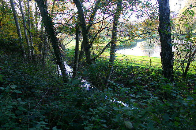
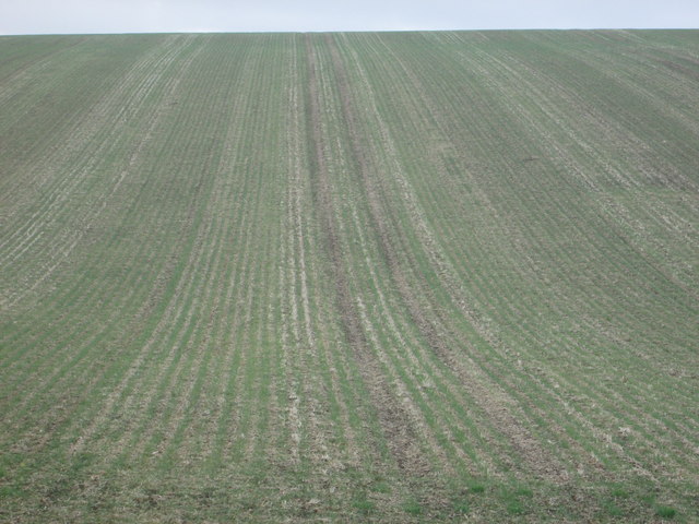
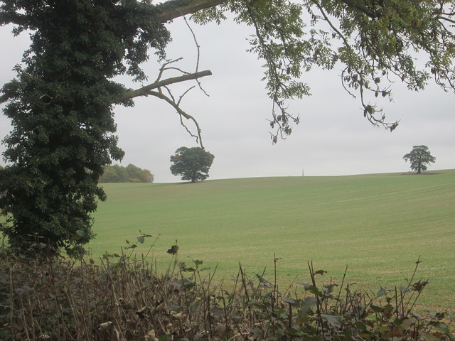
Godwyn's Wood is a picturesque forest located in Hertfordshire, England. Spanning over a vast area, it is a natural haven known for its rich biodiversity and serene ambiance. The wood is situated near the village of Godwyn, from which it derives its name, and is easily accessible for nature enthusiasts and visitors alike.
The wood features a diverse range of trees, including oak, beech, and birch, which create a dense canopy that provides shade and shelter for an array of wildlife. It is a popular destination for birdwatchers, as the wood is home to numerous species, such as woodpeckers, owls, and various songbirds.
Tranquil walking trails meander through the forest, allowing visitors to immerse themselves in the natural beauty of the surroundings. Along these paths, one can encounter a variety of flora and fauna, including vibrant wildflowers, ferns, and mosses. The forest floor is often carpeted with fallen leaves, providing a peaceful and soothing atmosphere.
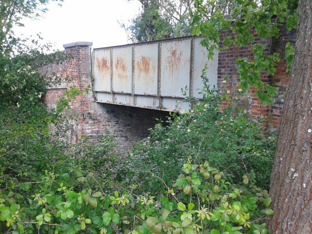
Godwyn's Wood is not only a sanctuary for wildlife but also a place of historical significance. Ruins of ancient structures and archaeological artifacts have been discovered within the wood, offering glimpses into the area's past. These remnants serve as a reminder of the wood's long-standing presence and the importance it held for previous generations.
Overall, Godwyn's Wood is a captivating destination that offers a serene retreat for those seeking solace in nature. Its breathtaking landscapes, diverse wildlife, and historical remnants make it a cherished gem within Hertfordshire, attracting locals and tourists alike.
If you have any feedback on the listing, please let us know in the comments section below.
Godwyn's Wood Images
Images are sourced within 2km of 51.829462/0.050426732 or Grid Reference TL4116. Thanks to Geograph Open Source API. All images are credited.


Godwyn's Wood is located at Grid Ref: TL4116 (Lat: 51.829462, Lng: 0.050426732)
Administrative County: Hertfordshire
District: East Hertfordshire
Police Authority: Hertfordshire
What 3 Words
///models.dare.mimic. Near Much Hadham, Hertfordshire
Nearby Locations
Related Wikis

Widford railway station
Widford railway station served the village of Widford, Hertfordshire, England, from 1863 to 1964 on the Buntingford branch line. == History == The station...

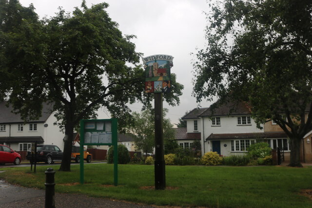
Widford, Hertfordshire
Widford is a village and civil parish between Ware and Much Hadham in the East Hertfordshire district of Hertfordshire in England. It covers an area of...

Hadham railway station
Hadham railway station served the village of Much Hadham, Hertfordshire, England, from 1863 to 1965 on the Buntingford branch line. == History == The station...

Wareside
Wareside is a small village and civil parish in the East Hertfordshire district, in the county of Hertfordshire, England. The population of the civil parish...

Moor Place, Hertfordshire
Moor Place is a country house within the civil parish of Much Hadham, in the East Hertfordshire district, in the county of Hertfordshire, England. It is...
Hunsdon
Hunsdon is a village and civil parish in Hertfordshire, England. It is around 5.5 miles (9 km) east of Ware and 5 miles (8 km) north-west of Harlow. The...

Henry Moore Foundation
The Henry Moore Foundation is a registered charity in England, established for education and promotion of the fine arts — in particular, to advance understanding...

Perry Green, Hertfordshire
Perry Green is a scattered hamlet in Hertfordshire, England, near Much Hadham. The sculptor Henry Moore settled there in 1941. His house Hoglands now forms...
Nearby Amenities
Located within 500m of 51.829462,0.050426732Have you been to Godwyn's Wood?
Leave your review of Godwyn's Wood below (or comments, questions and feedback).