Barrow Hill
Heritage Site in Hertfordshire East Hertfordshire
England
Barrow Hill

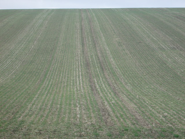
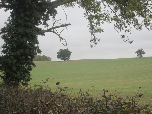
Barrow Hill, located in Hertfordshire, England, is a significant heritage site that holds historical and archaeological importance. This ancient monument is an impressive burial mound dating back to the Neolithic period, around 3000 BCE. It is situated within a scenic landscape, surrounded by fields and rolling hills.
The barrow itself is a large earthen mound, approximately 35 meters in diameter and 3 meters high. It is believed to have been constructed as a burial site for a person of high status or importance in the local community. The burial chamber within the barrow has unfortunately been looted in the past, leaving behind only remnants of the original burial goods.
Barrow Hill has been subject to archaeological investigations, revealing valuable insights into the lives of the Neolithic people who once inhabited the region. Various artifacts have been unearthed, including pottery fragments, flint tools, and animal bones, providing evidence of their daily activities and burial practices.
In addition to its historical significance, Barrow Hill offers visitors a chance to experience the beauty of the surrounding countryside. The site is accessible via footpaths, allowing for leisurely walks and exploration. Interpretive panels provide information about the monument's history and its archaeological findings.
Barrow Hill serves as a reminder of the ancient past, preserving the heritage and cultural legacy of Hertfordshire. Its historical importance and unique landscape make it a popular destination for archaeology enthusiasts, history buffs, and nature lovers alike.
If you have any feedback on the listing, please let us know in the comments section below.
Barrow Hill Images
Images are sourced within 2km of 51.828/0.053 or Grid Reference TL4116. Thanks to Geograph Open Source API. All images are credited.


Barrow Hill is located at Grid Ref: TL4116 (Lat: 51.828, Lng: 0.053)
Administrative County: Hertfordshire
District: East Hertfordshire
Police Authority: Hertfordshire
What 3 Words
///move.ashes.gave. Near Much Hadham, Hertfordshire
Nearby Locations
Related Wikis

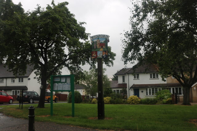
Widford, Hertfordshire
Widford is a village and civil parish between Ware and Much Hadham in the East Hertfordshire district of Hertfordshire in England. It covers an area of...

Widford railway station
Widford railway station served the village of Widford, Hertfordshire, England, from 1863 to 1964 on the Buntingford branch line. == History == The station...

Hadham railway station
Hadham railway station served the village of Much Hadham, Hertfordshire, England, from 1863 to 1965 on the Buntingford branch line. == History == The station...

Wareside
Wareside is a small village and civil parish in the East Hertfordshire district, in the county of Hertfordshire, England. The population of the civil parish...
Hunsdon
Hunsdon is a village and civil parish in Hertfordshire, England. It is around 5.5 miles (9 km) east of Ware and 5 miles (8 km) north-west of Harlow. The...

Henry Moore Foundation
The Henry Moore Foundation is a registered charity in England, established for education and promotion of the fine arts — in particular, to advance understanding...

Perry Green, Hertfordshire
Perry Green is a scattered hamlet in Hertfordshire, England, near Much Hadham. The sculptor Henry Moore settled there in 1941. His house Hoglands now forms...

Moor Place, Hertfordshire
Moor Place is a country house within the civil parish of Much Hadham, in the East Hertfordshire district, in the county of Hertfordshire, England. It is...
Nearby Amenities
Located within 500m of 51.828,0.053Have you been to Barrow Hill?
Leave your review of Barrow Hill below (or comments, questions and feedback).