Crackney Wood
Wood, Forest in Hertfordshire East Hertfordshire
England
Crackney Wood

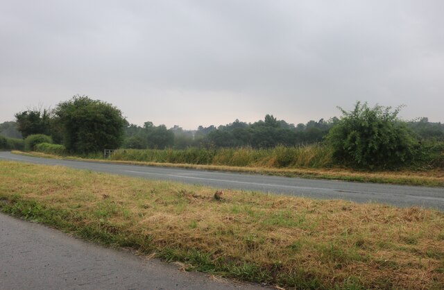
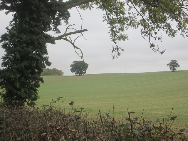
Crackney Wood, located in Hertfordshire, is a picturesque woodland area that offers a tranquil and serene environment for nature enthusiasts. Covering an area of approximately 30 hectares, this ancient woodland is composed mainly of broadleaved trees, including oak, ash, and beech, creating a dense and diverse canopy overhead.
The woodland is home to a rich variety of flora and fauna, providing a haven for wildlife. Visitors can expect to encounter a plethora of bird species, such as woodpeckers, tits, and thrushes, which can be seen and heard among the tree branches. Additionally, the forest floor is adorned with a carpet of bluebells in the spring, creating a stunning natural display.
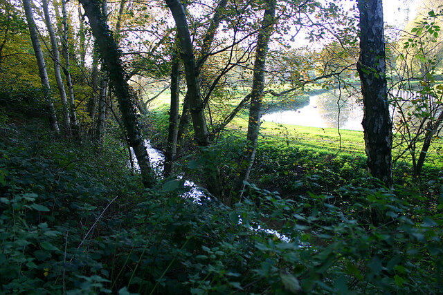
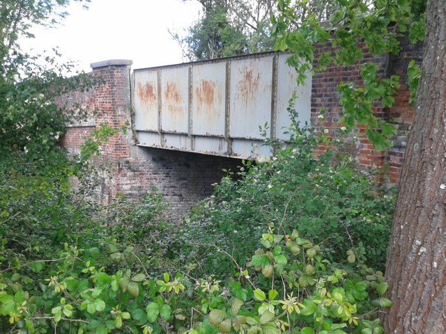
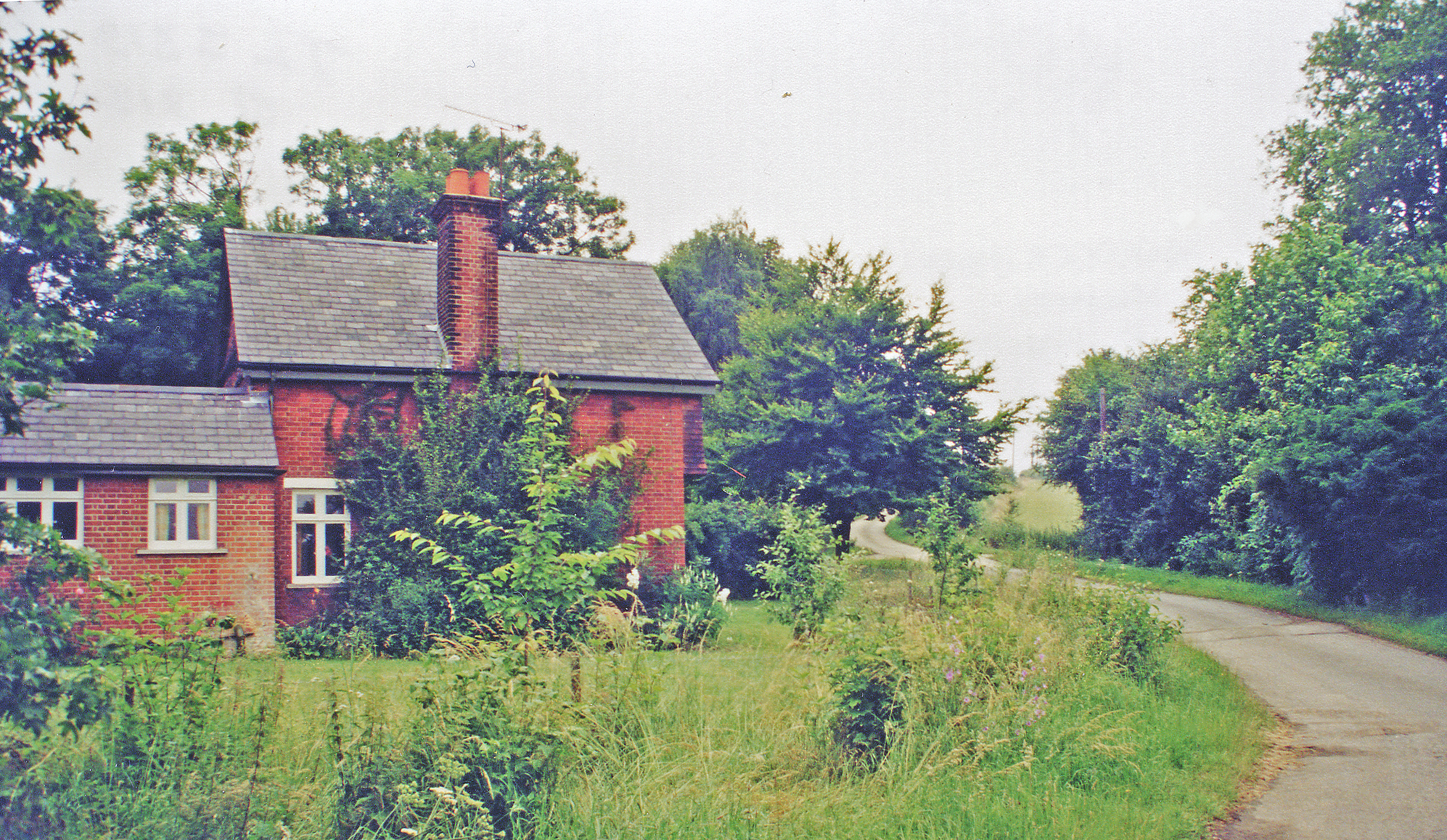
Crackney Wood offers various walking trails and footpaths, allowing visitors to explore the area at their own pace. These paths meander through the woodland, taking visitors past ancient trees and moss-covered rocks, creating an enchanting atmosphere. Additionally, the wood is intersected by a small stream, adding to the tranquility and charm of the surroundings.
The woodland is well-maintained, with clear signage and information boards providing educational insights into the ecosystem and the history of the area. There are also picnic areas and benches scattered throughout the wood, offering visitors the opportunity to rest and enjoy the beauty of their surroundings.
Crackney Wood is a perfect destination for those seeking a peaceful retreat in nature, where they can immerse themselves in the sights and sounds of the forest, and perhaps even catch a glimpse of some of the wildlife that calls this woodland home.
If you have any feedback on the listing, please let us know in the comments section below.
Crackney Wood Images
Images are sourced within 2km of 51.826657/0.04730979 or Grid Reference TL4116. Thanks to Geograph Open Source API. All images are credited.


Crackney Wood is located at Grid Ref: TL4116 (Lat: 51.826657, Lng: 0.04730979)
Administrative County: Hertfordshire
District: East Hertfordshire
Police Authority: Hertfordshire
What 3 Words
///deny.ideas.family. Near Much Hadham, Hertfordshire
Nearby Locations
Related Wikis

Widford railway station
Widford railway station served the village of Widford, Hertfordshire, England, from 1863 to 1964 on the Buntingford branch line. == History == The station...

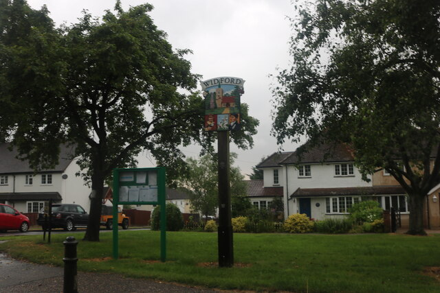
Widford, Hertfordshire
Widford is a village and civil parish between Ware and Much Hadham in the East Hertfordshire district of Hertfordshire in England. It covers an area of...

Wareside
Wareside is a small village and civil parish in the East Hertfordshire district, in the county of Hertfordshire, England. The population of the civil parish...

Hadham railway station
Hadham railway station served the village of Much Hadham, Hertfordshire, England, from 1863 to 1965 on the Buntingford branch line. == History == The station...
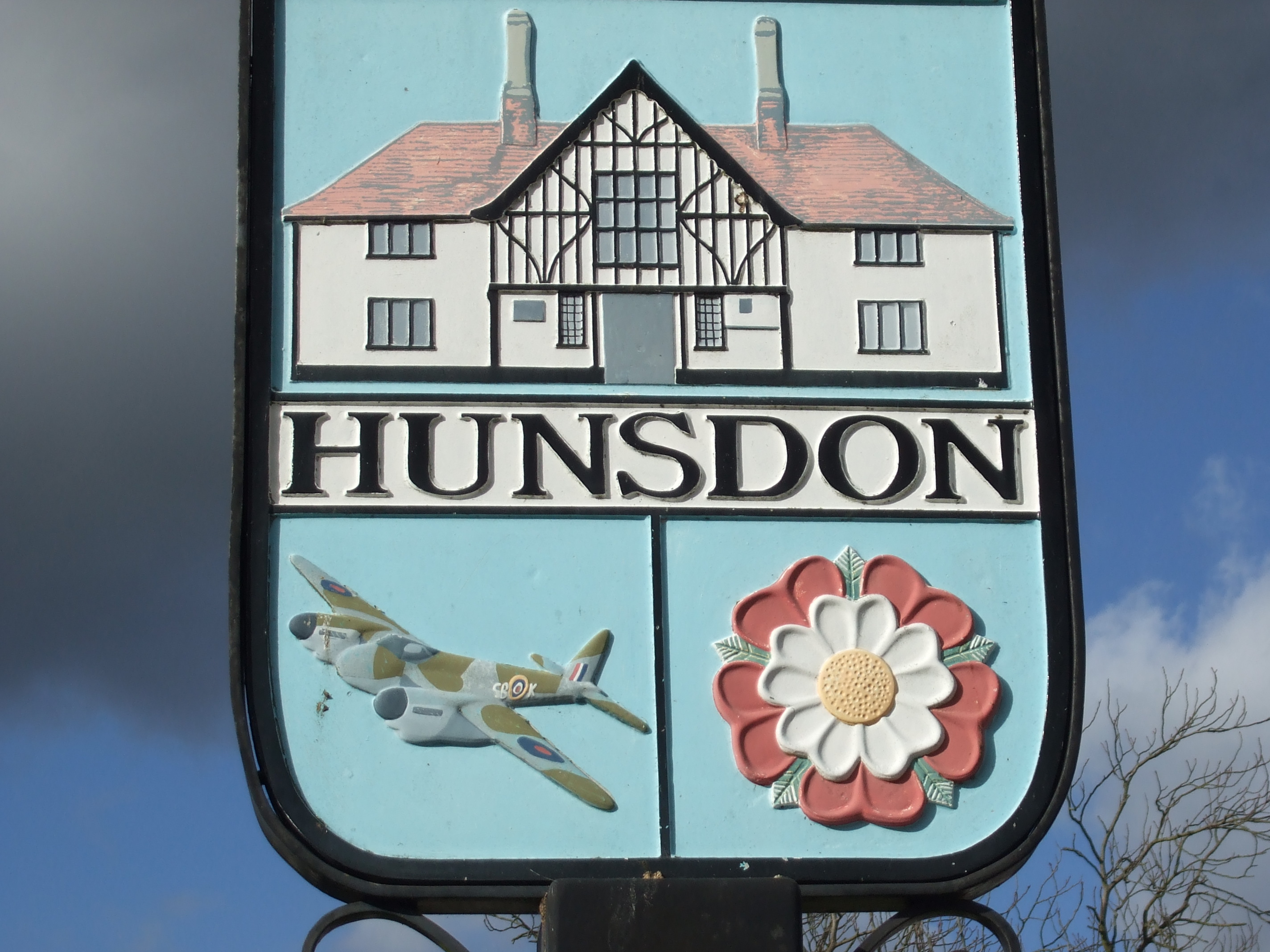
Hunsdon
Hunsdon is a village and civil parish in Hertfordshire, England. It is around 5.5 miles (9 km) east of Ware and 5 miles (8 km) north-west of Harlow. The...
Mardock railway station
Mardock railway station served the village of Wareside, Hertfordshire, England, from 1863 to 1964 by the Buntingford branch line. == History == The station...

Hertford and Stortford (UK Parliament constituency)
Hertford and Stortford is a constituency currently represented in the House of Commons of the UK Parliament since 2019 by Julie Marson of the Conservative...

Moor Place, Hertfordshire
Moor Place is a country house within the civil parish of Much Hadham, in the East Hertfordshire district, in the county of Hertfordshire, England. It is...
Nearby Amenities
Located within 500m of 51.826657,0.04730979Have you been to Crackney Wood?
Leave your review of Crackney Wood below (or comments, questions and feedback).