Brookers Rough

Wood, Forest in Sussex Wealden

England

Brookers Rough

Ketche's Lane
Ketche's Lane Credit: N Chadwick

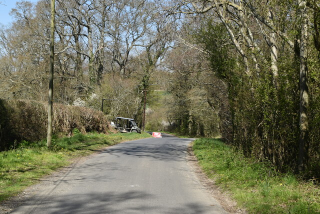
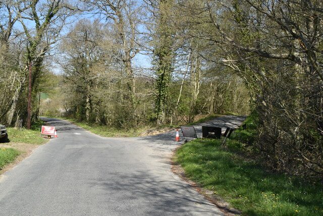
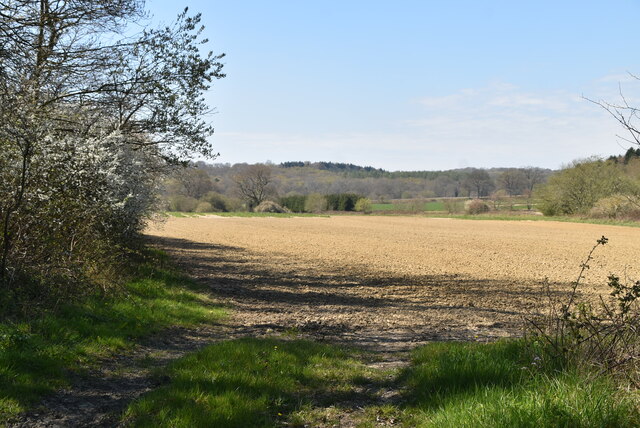
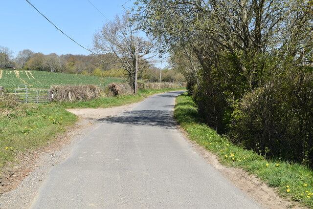
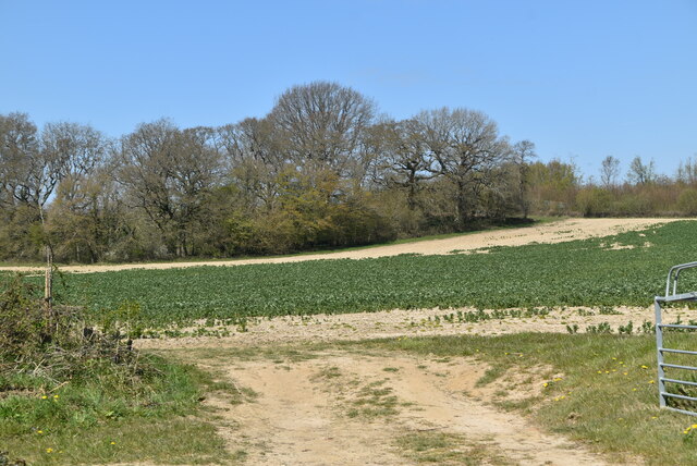
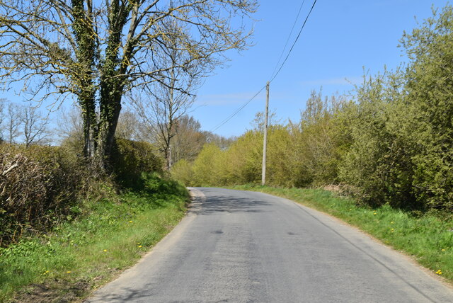
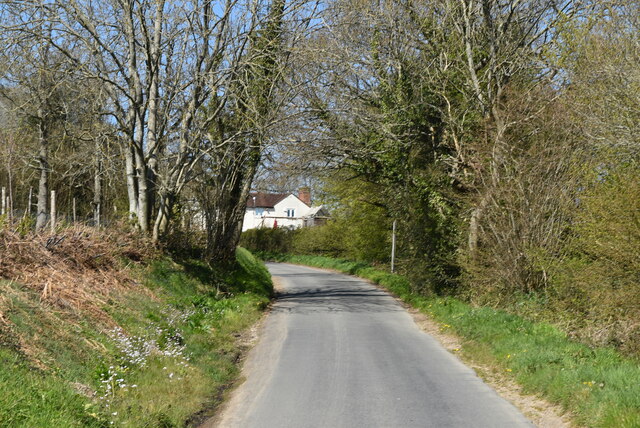
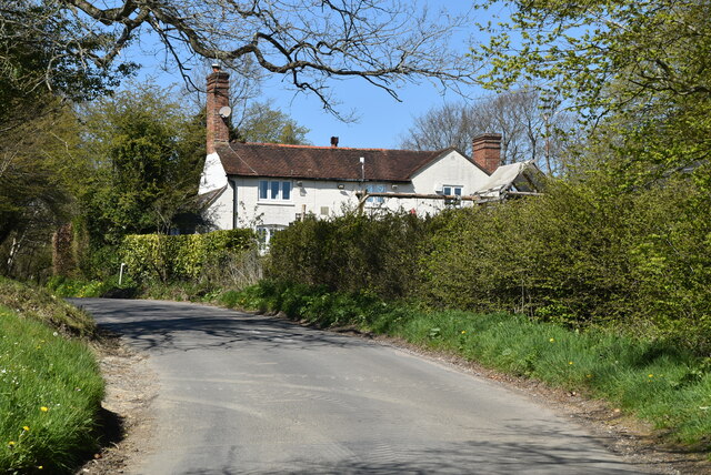
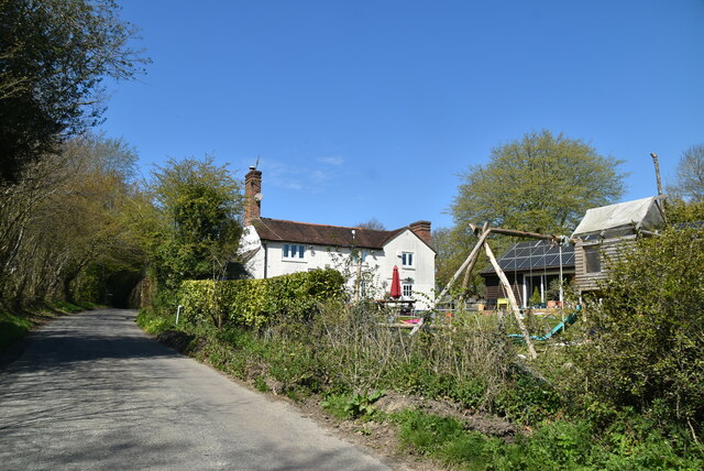
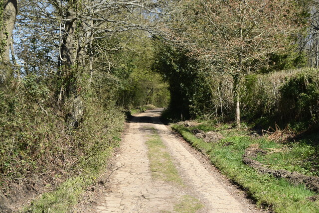
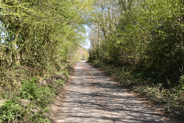
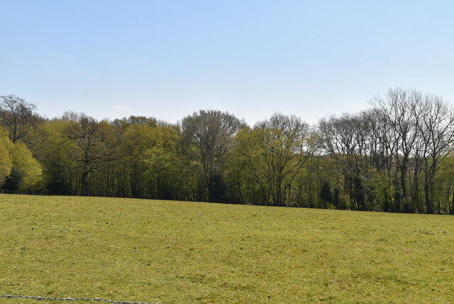
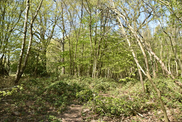
Brookers Rough is a woodland area located in the county of Sussex, England. It is situated in the heart of the Sussex Weald, a region known for its picturesque landscapes and diverse wildlife. Covering an area of approximately 100 acres, Brookers Rough is an important part of the local ecosystem and is often referred to as a forest due to its dense vegetation and abundance of trees.

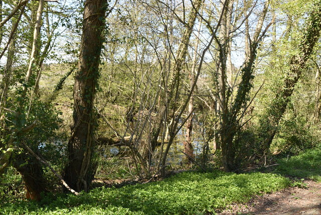
The woodland consists primarily of broadleaf trees, such as oak, beech, and birch, which create a lush canopy overhead. The forest floor is covered with a variety of plants, including bluebells, wild garlic, and ferns, offering a vibrant and enchanting atmosphere. Additionally, a small stream runs through the woodland, adding to its natural charm.

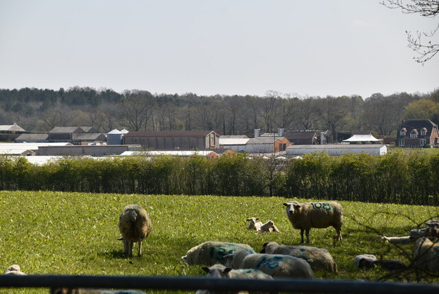
Brookers Rough is home to a wide range of wildlife, providing a vital habitat for numerous species. Birdwatchers can spot various woodland birds, including woodpeckers, thrushes, and owls. Mammals such as deer, foxes, and badgers also inhabit the area, making it a popular destination for nature enthusiasts and photographers.

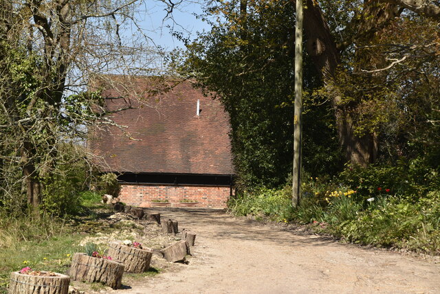
The woodland is open to the public, offering several walking trails that allow visitors to explore its beauty. These paths wind through the trees, providing opportunities to observe the wildlife and enjoy the tranquillity of nature. Additionally, there are picnic areas and benches scattered throughout the woodland, allowing visitors to relax and take in the peaceful surroundings.

Brookers Rough is a cherished natural treasure in Sussex, attracting both locals and tourists seeking solace in its serene and captivating woodland environment.

If you have any feedback on the listing, please let us know in the comments section below.

Brookers Rough Images

Images are sourced within 2km of 51.01695/0.014689947 or Grid Reference TQ4126. Thanks to Geograph Open Source API. All images are credited.

Ketche's Lane
Ketche's Lane
Ketche's Lane, Sliders Lane junction
Woodland pond
Woodland pond
Ploughed field
Ploughed field
Ketche's Lane
Ketche's Lane
Arable field by Ketche's Lane
Brickpits Farm
Brickpits Farm
Ketche's Lane
Ketche's Lane
Ketche's Lane
Ketche's Lane
Kingswood Cottage
Kingswood Cottage
Kingswood Cottage
Kingswood Cottage
Sussex Border Path The Sussex Border Path is a footpath route nearly 150 miles long around the inland boundary of the county of Sussex. The county owes its origins to the kingdom of the South Saxons and can claim to have one of the longest inland county boundaries from Emsworth to Rye. The route was devised in 1983 and is well signed along most of the route. Website <span class="nowrap"><a title="http://www.sussexborderpath.co.uk/" rel="nofollow ugc noopener" href="http://www.sussexborderpath.co.uk/">Link</a><img style="margin-left:2px;" alt="External link" title="External link - shift click to open in new window" src="https://s1.geograph.org.uk/img/external.png" width="10" height="10"/></span> 
Map: <a title="https://www.geograph.org.uk/search.php?i=40140109&page=1&displayclass=map#i=40140109&page=1&displayclass=map&zoom=2&lat=51.03263&lon=-0.05427&layers=FTTB00000000000T" href="https://www.geograph.org.uk/search.php?i=40140109&page=1&displayclass=map#i=40140109&page=1&displayclass=map&zoom=2&lat=51.03263&lon=-0.05427&layers=FTTB00000000000T">Link</a>
Sussex Border Path
The Sussex Border Path is a footpath route nearly 150 miles long around the inland boundary of the county of Sussex. The county owes its origins to the kingdom of the South Saxons and can claim to have one of the longest inland county boundaries from Emsworth to Rye. The route was devised in 1983 and is well signed along most of the route. Website LinkExternal link Map: Link
Sheep grazing
Sheep grazing
Pond, Northland Farm
Northlands Farm
Northlands Farm
Farmland and Northland Wood
Northland Wood
Northland Wood
Show me another place!

Brookers Rough is located at Grid Ref: TQ4126 (Lat: 51.01695, Lng: 0.014689947)

Administrative County: East Sussex

District: Wealden

Police Authority: Sussex

What 3 Words

///football.cooked.victory. Near Horsted Keynes, West Sussex

Nearby Locations

Brookers Rough Lane Wood

Related Wikis

Furner's Green

Furner's Green is a hamlet in the civil parish of Danehill in East Sussex, England. == Geography == Furner's Green lies on the Greenwich Meridian about...

Danehill, East Sussex

Danehill is a village in East Sussex, England. == Religious sites == There are two Anglican churches in the parish: one at Danehill (dedicated to All Saints...

Sheffield Park and Garden

Sheffield Park and Garden is an informal landscape garden five miles east of Haywards Heath, in East Sussex, England. It was originally laid out in the...

Sussex

Sussex (; from the Old English Sūþsēaxe; lit. 'South Saxons') is a historic county in South East England that is bounded to the west by Hampshire, north...

Sussex Wildlife Trust

The Sussex Wildlife Trust (SWT) is a conservation charity which aims to protect natural life in Sussex. It was founded in 1961 and is one of 46 wildlife...

Sheffield Park cricket ground

Sheffield Park is a cricket ground at the Sheffield Park estate, located near Uckfield, East Sussex, England. From 1881 to 1896 it was the home ground...

Sheffield Park railway station

Sheffield Park is the southern terminus of the Bluebell Railway and also the headquarters of the line. It is located on the southern bank of the River...

Freshfield Lane

Freshfield Lane is a 17-hectare (42-acre) geological Site of Special Scientific Interest east of Haywards Heath in West Sussex. It is a Geological Conservation...

Nearby Amenities

Located within 500m of 51.01695,0.014689947
Sheffield Mill
Waterway: waterfall
Lat/Long: 51.0140837/0.0163215
Post Box
Brand: Royal Mail
Brand Wikidata: Q638098
Brand Wikipedia: en:Royal Mail
Operator: Royal Mail
Operator Wikidata: Q638098
Post Box Type: lamp
Ref: TN22 28
Royal Cypher: EIIR
Royal Cypher Wikidata: Q33102113
Lat/Long: 51.0172585/0.0076735
Ford: yes
Lat/Long: 51.0182737/0.0191382
Barrier: turnstile
Lat/Long: 51.0140111/0.0166763
The data included in this document is from www.openstreetmap.org. The data is made available under ODbL.

Have you been to Brookers Rough?

Leave your review of Brookers Rough below (or comments, questions and feedback).