Clarkslane Shaw
Wood, Forest in Surrey Tandridge
England
Clarkslane Shaw
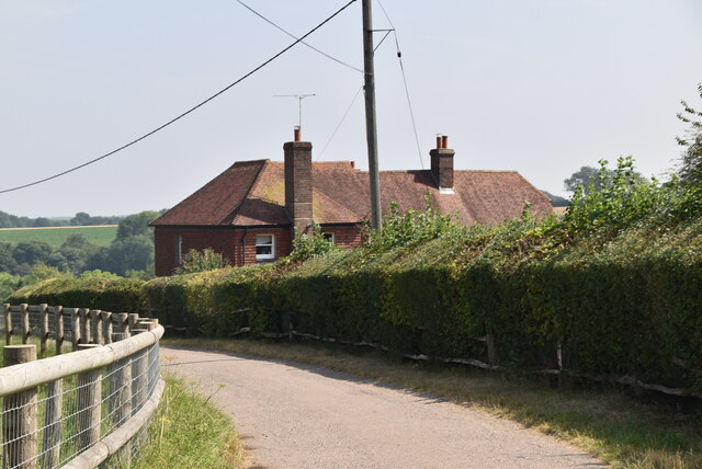
Clarkslane Shaw is a beautiful residential area located in Surrey, England. Nestled amidst the serene woodlands and forests, it offers a tranquil and picturesque environment for its residents to enjoy. The name "Clarkslane Shaw" is derived from the combination of Clarkslane, a historic road, and Shaw, which refers to a small wood or copse.
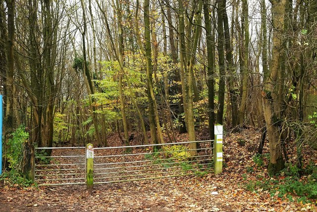
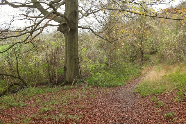
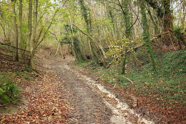
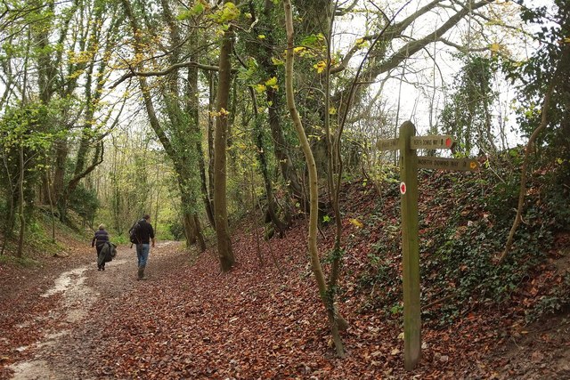
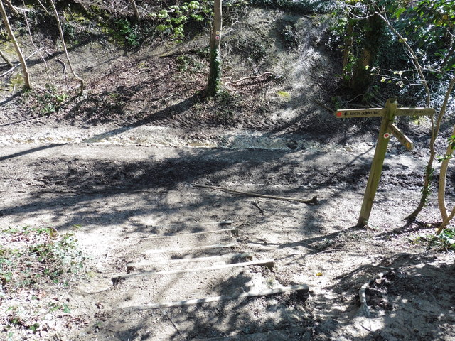
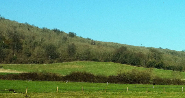
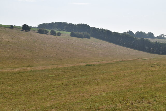
The surrounding woodlands provide a lush green backdrop, creating a soothing atmosphere and offering ample opportunities for outdoor activities such as walking, jogging, and cycling. The area is particularly popular among nature enthusiasts and those seeking an escape from the hustle and bustle of city life.
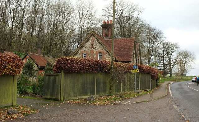
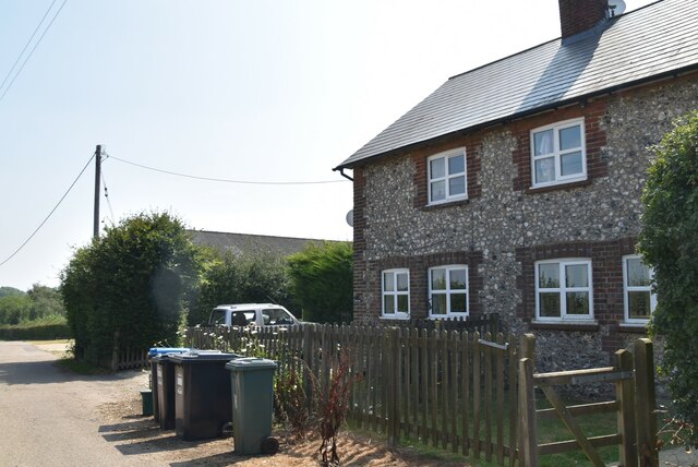
The residential properties in Clarkslane Shaw are predominantly traditional houses, ranging from charming cottages to larger family homes. Many of these properties have beautiful gardens and enjoy scenic views of the surrounding woodlands.
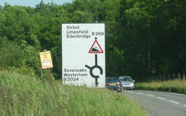
Despite its peaceful setting, Clarkslane Shaw is conveniently located near essential amenities. The nearby town of Surrey offers a range of shops, supermarkets, and restaurants, ensuring that residents have easy access to everyday necessities. Additionally, the area benefits from excellent transport links, with good road connections to nearby towns and cities, as well as access to public transportation.
Overall, Clarkslane Shaw in Surrey is a highly desirable place to live, offering a harmonious blend of natural beauty and convenient modern living.
If you have any feedback on the listing, please let us know in the comments section below.
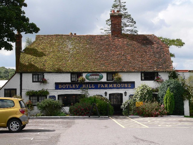
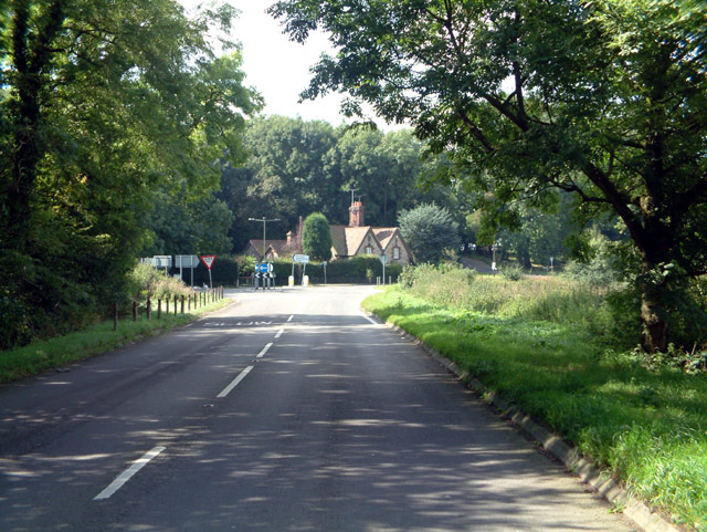
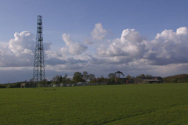
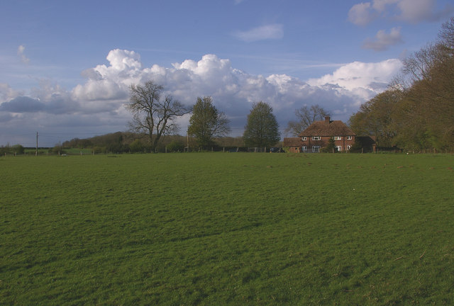
Clarkslane Shaw Images
Images are sourced within 2km of 51.286033/0.023661838 or Grid Reference TQ4156. Thanks to Geograph Open Source API. All images are credited.

Clarkslane Shaw is located at Grid Ref: TQ4156 (Lat: 51.286033, Lng: 0.023661838)
Administrative County: Surrey
District: Tandridge
Police Authority: Surrey
What 3 Words
///hits.ground.clots. Near Biggin Hill, London
Nearby Locations
Related Wikis

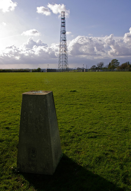
Tatsfield Receiving Station
The Tatsfield Receiving Station – known formally as the BBC Engineering Measurement and Receiving Station – was a radio broadcasting signals-receiving...
Botley Hill
Botley Hill is a hill in Surrey and is the highest point of the North Downs, with a height of 269.6 metres (885 ft). The Prime Meridian crosses the hill...
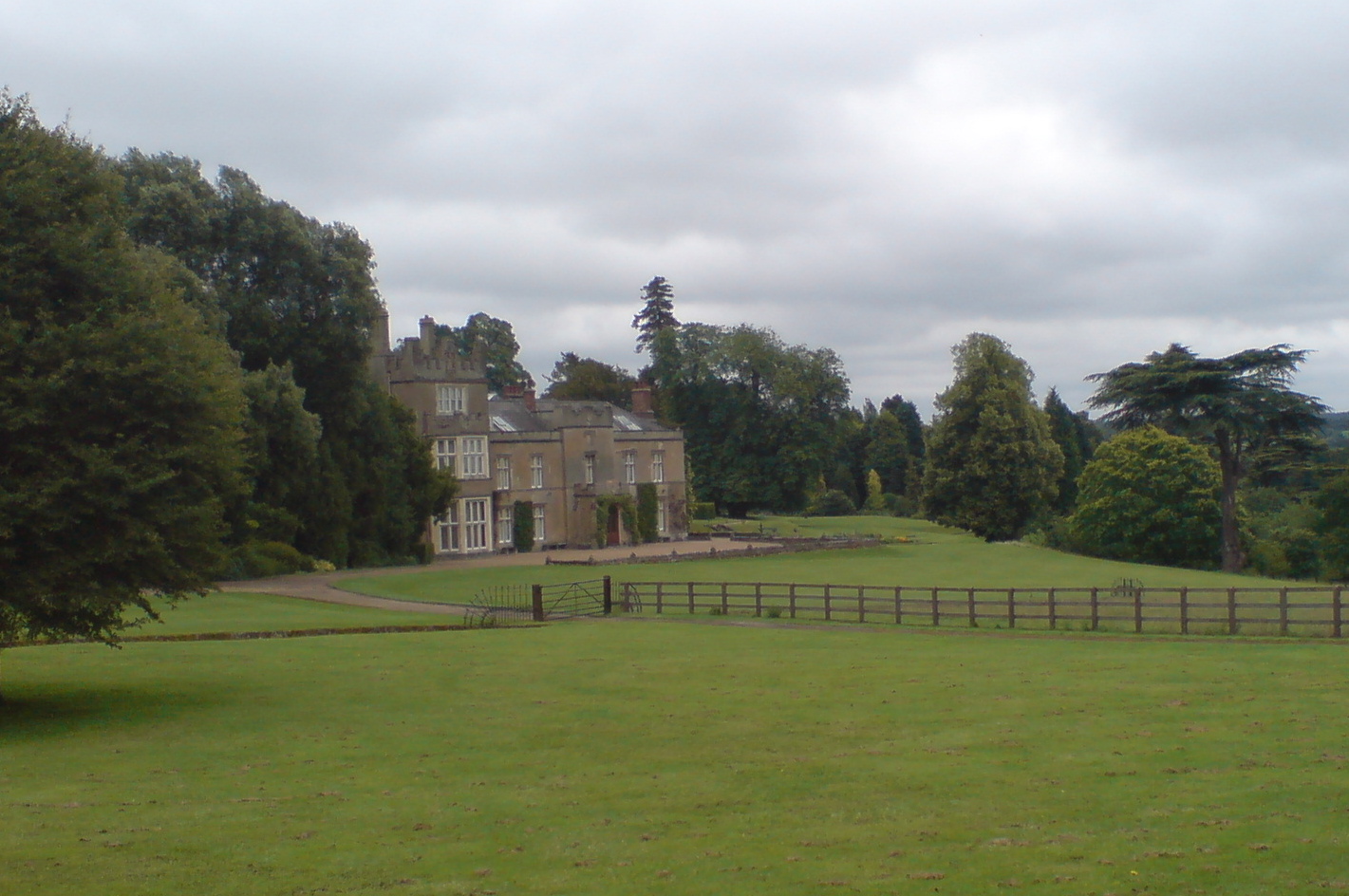
Titsey Place
Titsey Place is an English country house near Oxted in Surrey, England. It was successively the seat of the Gresham and Leveson-Gower families and is now...
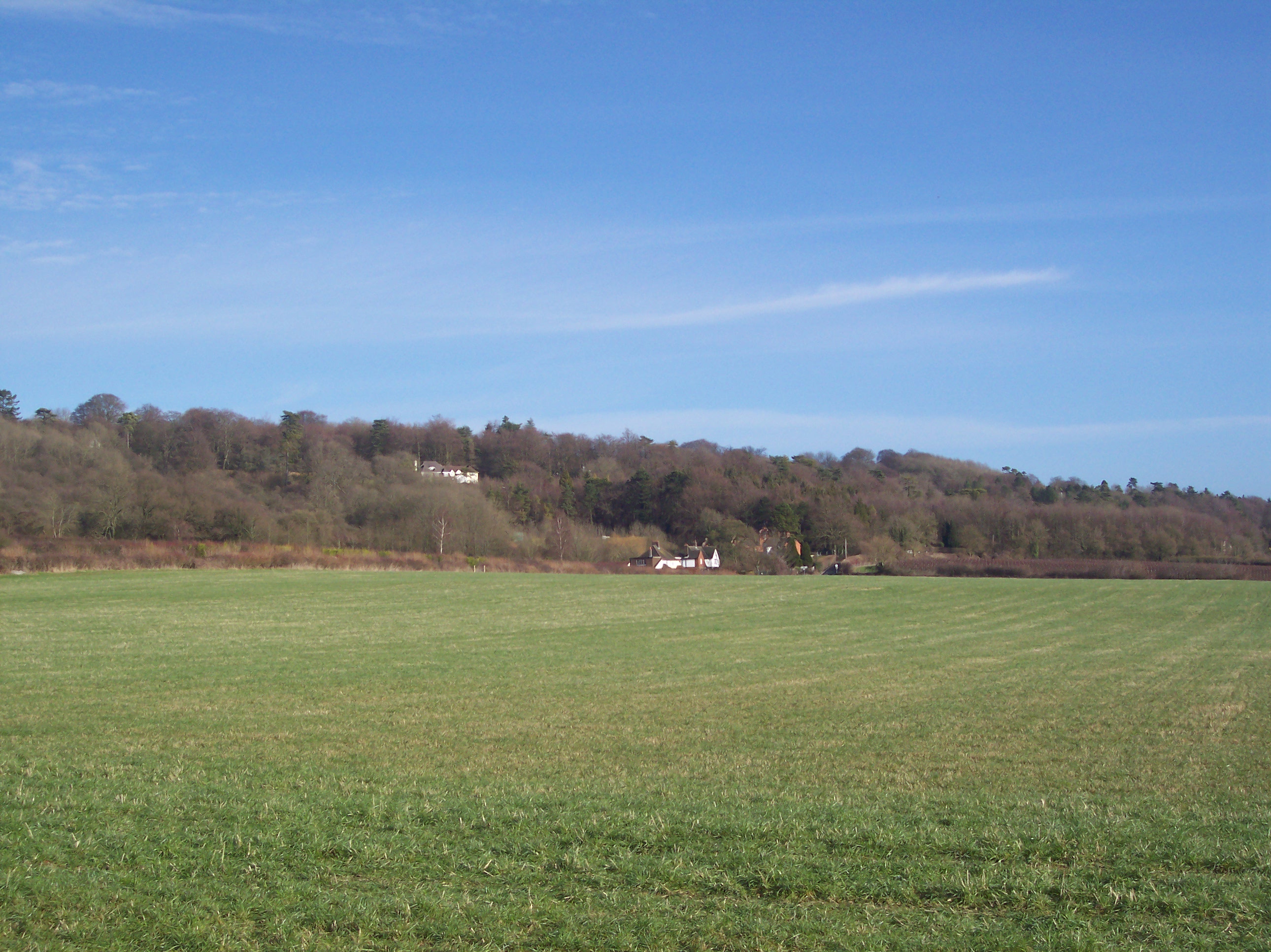
Titsey
Titsey is a rural village and a civil parish on the North Downs almost wholly within the M25 London Orbital Motorway in the Tandridge District of Surrey...

Tatsfield
Tatsfield is a village and civil parish in the Tandridge District of Surrey, England. It is located 3.3 miles north west of Westerham and 3.9 miles north...

Clacket Lane services
Clacket Lane services is a motorway service station on the M25 motorway midway between junctions 5 and 6, in Surrey, United Kingdom, adjacent to the parish...

South Street, Bromley
South Street is a hamlet in the far south of the London Borough of Bromley, 16.5 miles (27 km) south south-east from Charing Cross. It is the highest settlement...
Betsom's Hill
Betsom's Hill is a hill on the North Downs, and the highest point in the county of Kent at 251 metres (823 ft). Situated between Westerham and Tatsfield...
Nearby Amenities
Located within 500m of 51.286033,0.023661838Have you been to Clarkslane Shaw?
Leave your review of Clarkslane Shaw below (or comments, questions and feedback).