Limehouse Bottom
Valley in Surrey Tandridge
England
Limehouse Bottom
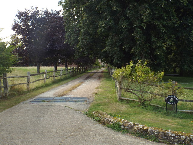
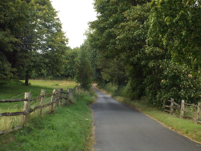
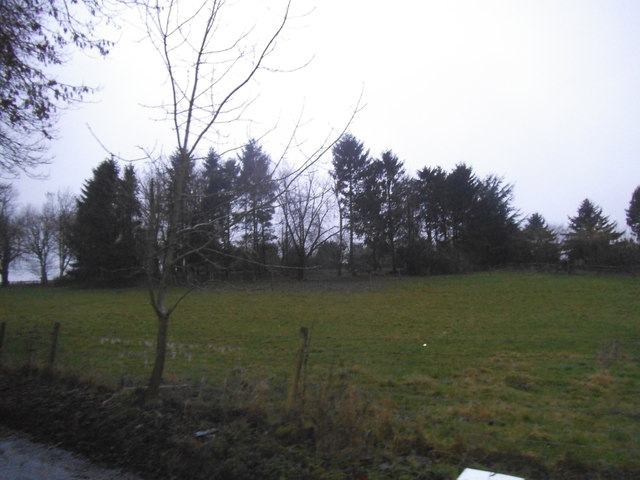
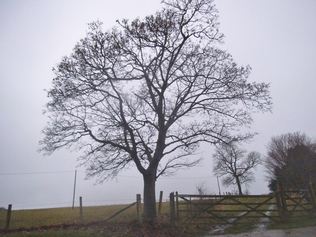
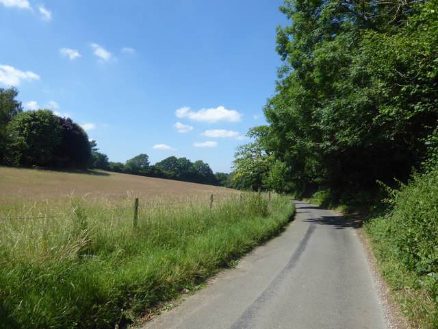
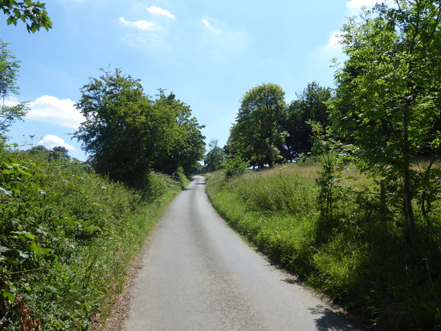
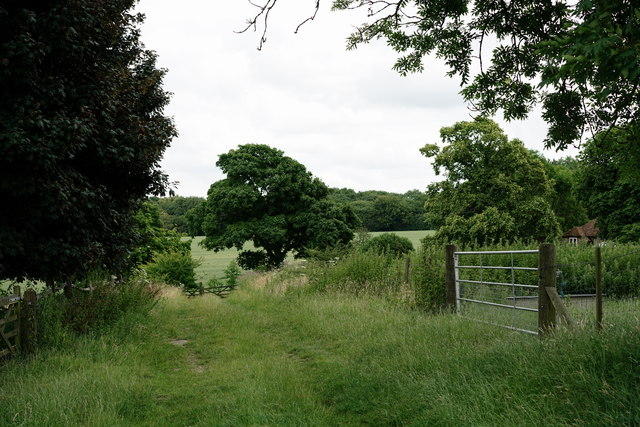
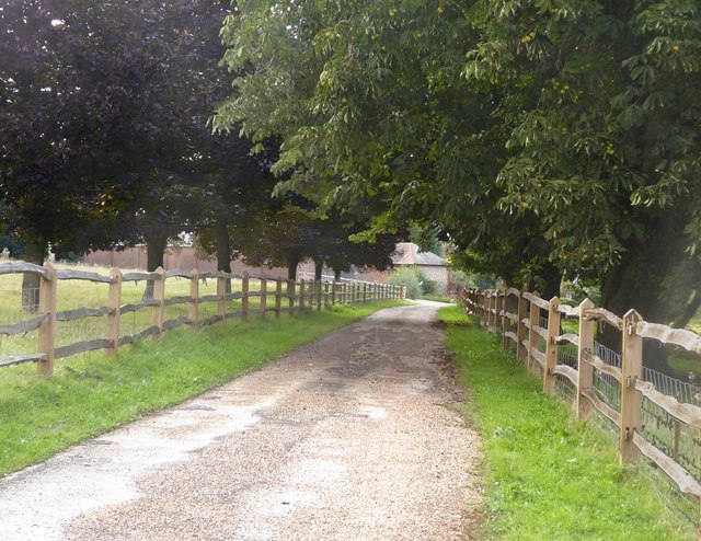
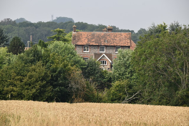
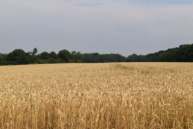
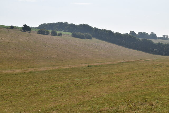
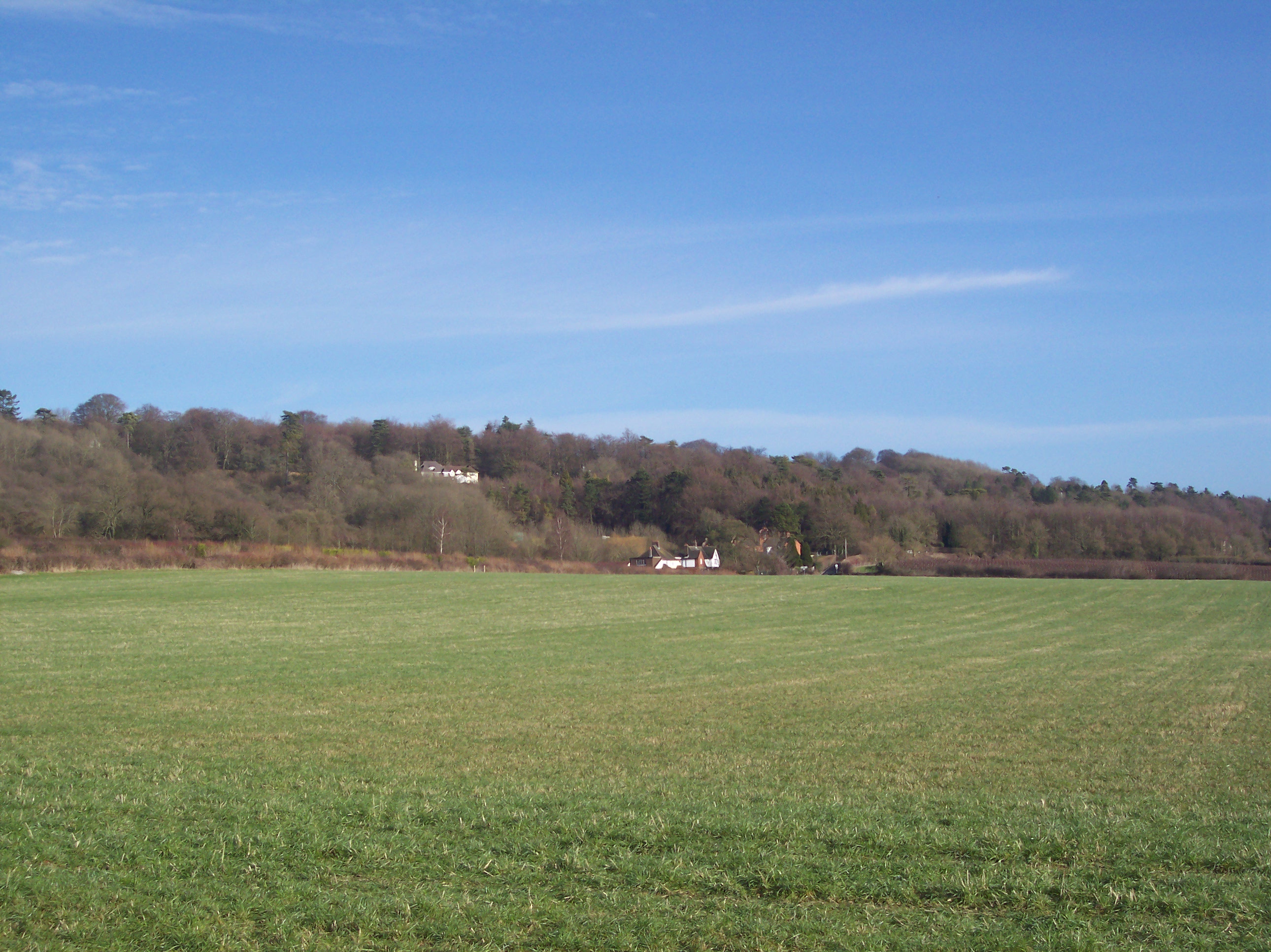
Limehouse Bottom, Surrey is a small, picturesque valley located in the southeast of England. Situated in the county of Surrey, Limehouse Bottom is known for its natural beauty and tranquil surroundings. The valley is nestled between rolling hills, creating a scenic landscape that attracts visitors and nature enthusiasts alike.
The area is characterized by its diverse wildlife and rich flora. Limehouse Bottom is home to a variety of species, including deer, foxes, and many bird species. The valley is also known for its vibrant wildflower meadows, which burst into colorful displays during the spring and summer months.
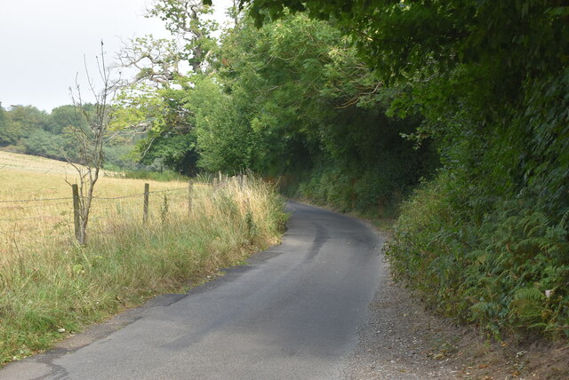
Visitors to Limehouse Bottom can enjoy a range of outdoor activities and leisure pursuits. The valley offers numerous walking trails, providing opportunities to explore the stunning surroundings and take in breathtaking views of the surrounding countryside. The trails cater to all levels of fitness and offer a chance to spot wildlife and discover hidden gems along the way.
In addition to its natural beauty, Limehouse Bottom is also home to a small community of residents. The village is known for its close-knit community spirit and welcoming atmosphere. The locals take pride in maintaining the area's charm and preserving its natural heritage.
Overall, Limehouse Bottom, Surrey is a hidden gem that offers a peaceful escape from the hustle and bustle of city life. With its stunning landscape, diverse wildlife, and warm community, this valley is a must-visit destination for nature lovers and those seeking tranquility in the heart of Surrey.
If you have any feedback on the listing, please let us know in the comments section below.
Limehouse Bottom Images
Images are sourced within 2km of 51.293587/0.029372775 or Grid Reference TQ4156. Thanks to Geograph Open Source API. All images are credited.


Limehouse Bottom is located at Grid Ref: TQ4156 (Lat: 51.293587, Lng: 0.029372775)
Administrative County: Surrey
District: Tandridge
Police Authority: Surrey
What 3 Words
///polite.moods.meals. Near Biggin Hill, London
Nearby Locations
Related Wikis

Tatsfield
Tatsfield is a village and civil parish in the Tandridge District of Surrey, England. It is located 3.3 miles north west of Westerham and 3.9 miles north...

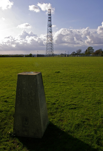
Tatsfield Receiving Station
The Tatsfield Receiving Station – known formally as the BBC Engineering Measurement and Receiving Station – was a radio broadcasting signals-receiving...

South Street, Bromley
South Street is a hamlet in the far south of the London Borough of Bromley, 16.5 miles (27 km) south south-east from Charing Cross. It is the highest settlement...

Aperfield
Aperfield is a hamlet and area in London, England, within the London Borough of Bromley, 16.2 miles (26 km) south-southeast of Charing Cross, and outside...
Botley Hill
Botley Hill is a hill in Surrey and is the highest point of the North Downs, with a height of 269.6 metres (885 ft). The Prime Meridian crosses the hill...
Titsey
Titsey is a rural village and a civil parish on the North Downs almost wholly within the M25 London Orbital Motorway in the Tandridge District of Surrey...
Betsom's Hill
Betsom's Hill is a hill on the North Downs, and the highest point in the county of Kent at 251 metres (823 ft). Situated between Westerham and Tatsfield...
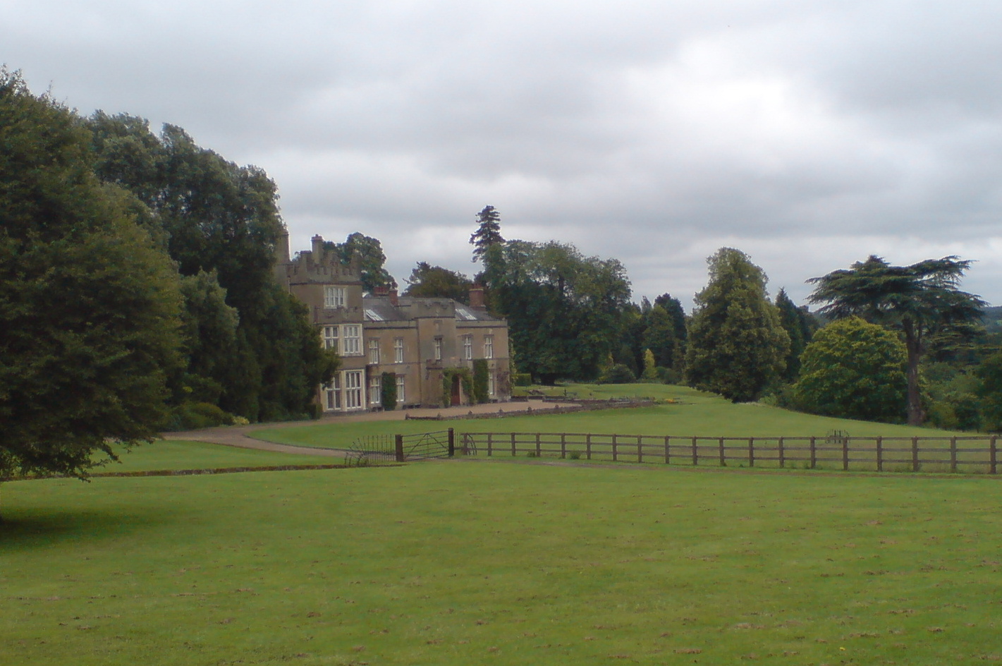
Titsey Place
Titsey Place is an English country house near Oxted in Surrey, England. It was successively the seat of the Gresham and Leveson-Gower families and is now...
Nearby Amenities
Located within 500m of 51.293587,0.029372775Have you been to Limehouse Bottom?
Leave your review of Limehouse Bottom below (or comments, questions and feedback).