Tatsfield
Settlement in Surrey Tandridge
England
Tatsfield
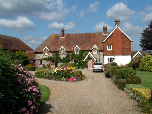
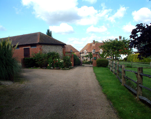
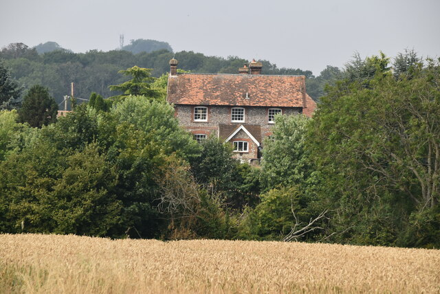
Tatsfield is a picturesque village located in the Tandridge district of Surrey, England. Situated on the North Downs, it lies about 19 miles south of Central London and offers stunning views of the surrounding countryside. The village is known for its tranquility, rural charm, and strong sense of community.
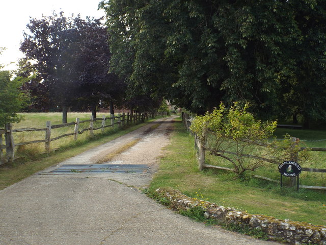
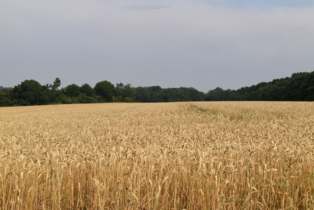
Historically, Tatsfield was an agricultural area, with farming being the primary occupation for its residents. Today, it retains its rural character with a mix of traditional cottages, charming farmhouses, and modern housing developments. The village has a small but vibrant population, with a range of amenities including a local shop, post office, village hall, and a primary school.
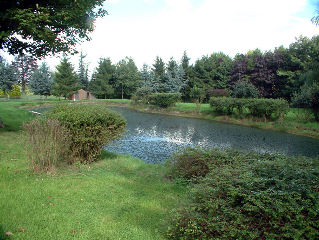
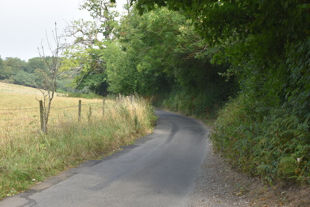
Nature enthusiasts will be delighted by the abundance of green spaces in and around Tatsfield. The nearby Titsey Plantation and Limpsfield Common provide opportunities for leisurely walks and exploring the beautiful woodlands. Additionally, the village is surrounded by several golf courses, making it a popular destination for golf enthusiasts.
Tatsfield also has a rich cultural heritage, with notable landmarks such as the All Saints Church, which dates back to the 12th century. The church boasts stunning stained-glass windows and a peaceful churchyard. The village is also home to the Tatsfield Players, an amateur dramatics group that stages regular performances.
With its idyllic location, strong community spirit, and access to both rural and urban amenities, Tatsfield offers a desirable lifestyle for those seeking a peaceful retreat within easy reach of London.
If you have any feedback on the listing, please let us know in the comments section below.
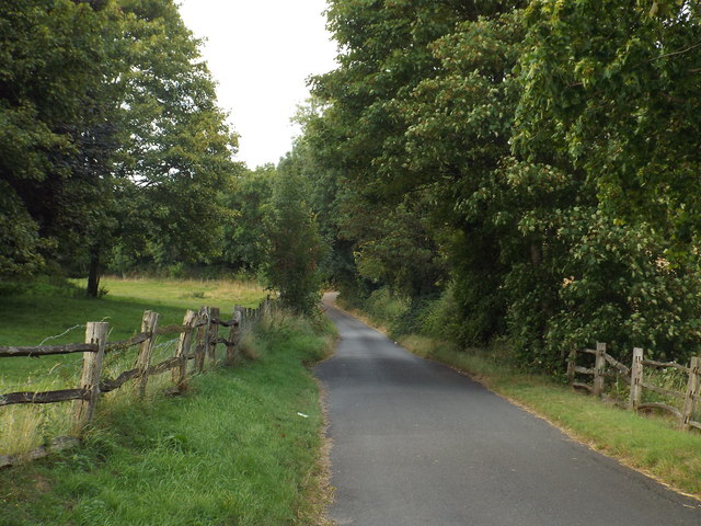
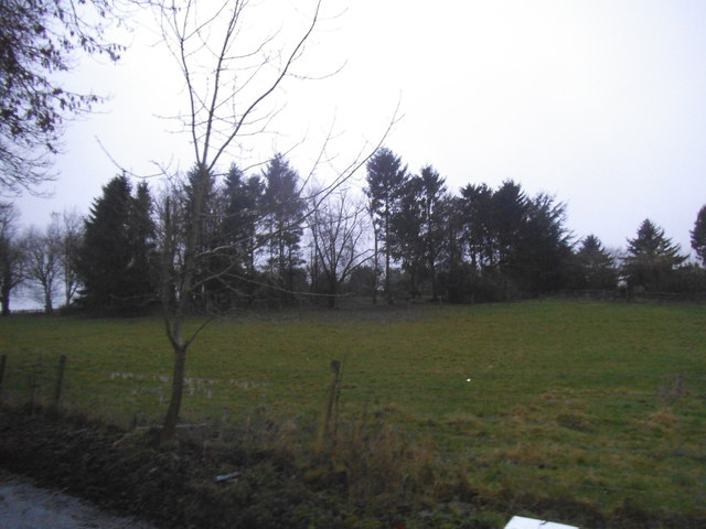
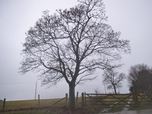
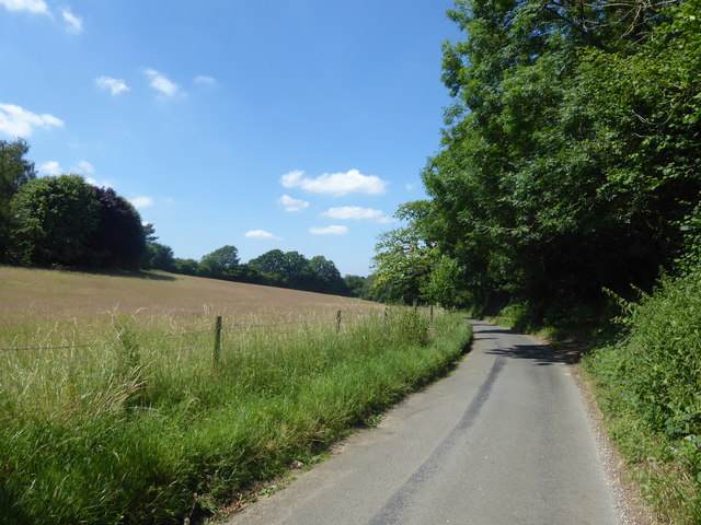
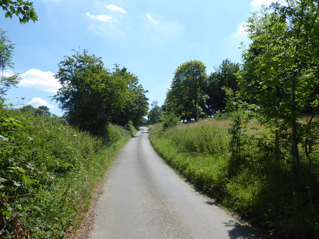
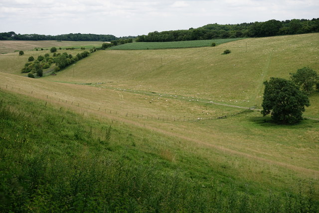
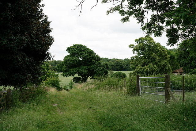
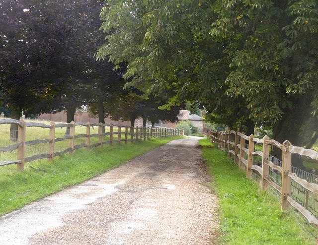
Tatsfield Images
Images are sourced within 2km of 51.293141/0.025303 or Grid Reference TQ4156. Thanks to Geograph Open Source API. All images are credited.


Tatsfield is located at Grid Ref: TQ4156 (Lat: 51.293141, Lng: 0.025303)
Administrative County: Surrey
District: Tandridge
Police Authority: Surrey
What 3 Words
///undulation.refers.held. Near Biggin Hill, London
Nearby Locations
Related Wikis

Tatsfield
Tatsfield is a village and civil parish in the Tandridge District of Surrey, England. It is located 3.3 miles north west of Westerham and 3.9 miles north...

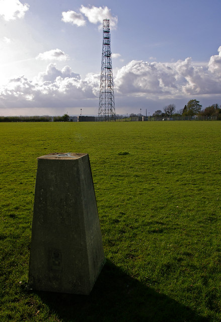
Tatsfield Receiving Station
The Tatsfield Receiving Station – known formally as the BBC Engineering Measurement and Receiving Station – was a radio broadcasting signals-receiving...
Titsey
Titsey is a rural village and a civil parish on the North Downs almost wholly within the M25 London Orbital Motorway in the Tandridge District of Surrey...
Botley Hill
Botley Hill is a hill in Surrey and is the highest point of the North Downs, with a height of 269.6 metres (885 ft). The Prime Meridian crosses the hill...
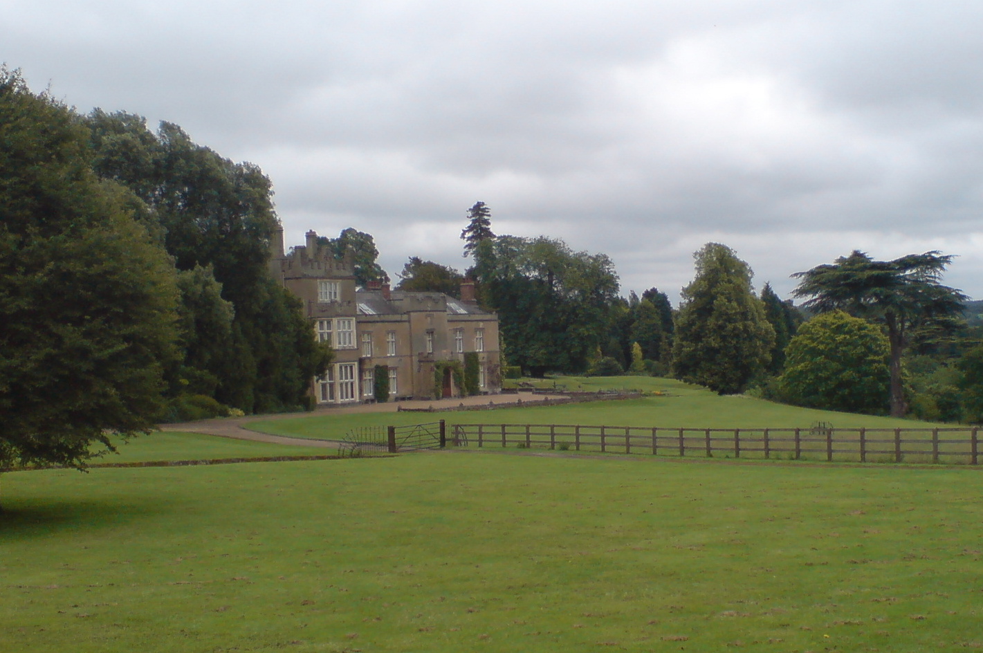
Titsey Place
Titsey Place is an English country house near Oxted in Surrey, England. It was successively the seat of the Gresham and Leveson-Gower families and is now...

South Street, Bromley
South Street is a hamlet in the far south of the London Borough of Bromley, 16.5 miles (27 km) south south-east from Charing Cross. It is the highest settlement...

Aperfield
Aperfield is a hamlet and area in London, England, within the London Borough of Bromley, 16.2 miles (26 km) south-southeast of Charing Cross, and outside...

Biggin Hill
Biggin Hill is a town in South East London, England, within the London Borough of Bromley. It is situated beyond London's contiguous built-up area in the...
Nearby Amenities
Located within 500m of 51.293141,0.025303Have you been to Tatsfield?
Leave your review of Tatsfield below (or comments, questions and feedback).