St John's Wood
Wood, Forest in Surrey Tandridge
England
St John's Wood

St John's Wood is a sought-after residential area located in the borough of Surrey in England. It is known for its peaceful atmosphere, elegant architecture, and green spaces. Situated northwest of central London, St John's Wood is bordered by the neighborhoods of Maida Vale, Primrose Hill, and Regent's Park.
The area is named after the original woodland that once covered this part of Surrey. While much of the forest has been developed into residential areas, St John's Wood still retains a charming and leafy character. The streets are lined with rows of beautiful period houses, many of which boast elegant facades and well-maintained gardens.
One of the prominent landmarks in St John's Wood is Lord's Cricket Ground, widely regarded as the home of cricket. The prestigious Marylebone Cricket Club (MCC) manages the grounds, which host various international matches and tournaments. The presence of Lord's Cricket Ground contributes to the area's reputation as a hub for sports enthusiasts.
Residents of St John's Wood enjoy easy access to the nearby Regent's Park, one of London's largest and most picturesque green spaces. The park offers numerous recreational opportunities, including boating on the lake, cycling, and walking along its scenic trails. The nearby Primrose Hill also provides stunning views of the London skyline.
St John's Wood is well-connected to the rest of London through various transport links, including St John's Wood Underground Station, which is serviced by the Jubilee Line. The area is also dotted with a variety of shops, restaurants, and cafes, catering to the needs and tastes of its affluent residents.
Overall, St John's Wood offers a harmonious blend of natural beauty, cultural significance, and convenient amenities, making it an attractive place to live or visit.
If you have any feedback on the listing, please let us know in the comments section below.
St John's Wood Images
Images are sourced within 2km of 51.157016/0.018082702 or Grid Reference TQ4141. Thanks to Geograph Open Source API. All images are credited.


St John's Wood is located at Grid Ref: TQ4141 (Lat: 51.157016, Lng: 0.018082702)
Administrative County: Surrey
District: Tandridge
Police Authority: Surrey
What 3 Words
///nuns.purple.wisely. Near Dormansland, Surrey
Nearby Locations
Related Wikis

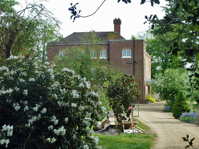
Greathed Manor
Greathed Manor, Dormansland, Surrey, is a Victorian country house. Designed by the architect Robert Kerr in 1862–8, it is a Grade II listed building....

Dormansland, Surrey
Dormansland is a large village and civil parish with a low population approximately one mile south of Lingfield in Surrey, England. It was founded in the...

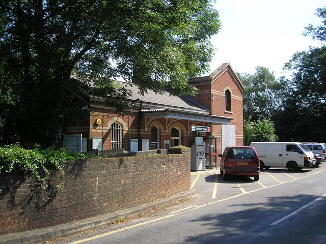
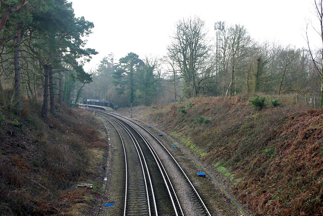
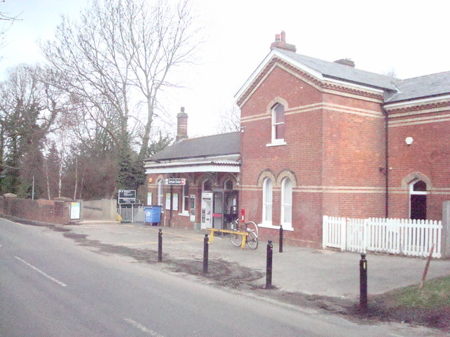
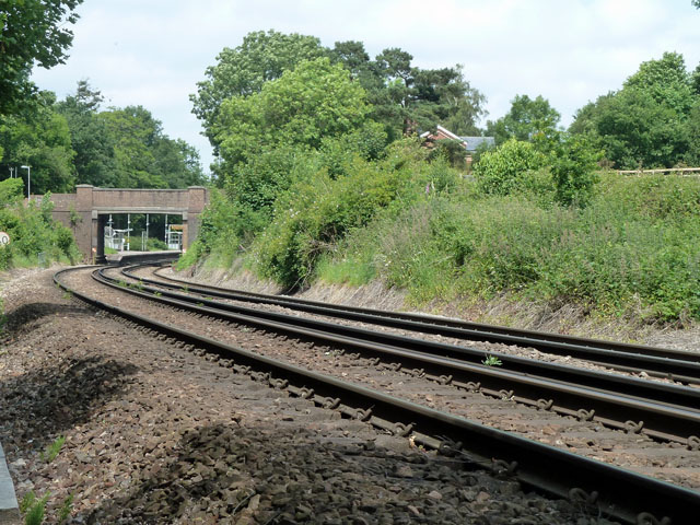
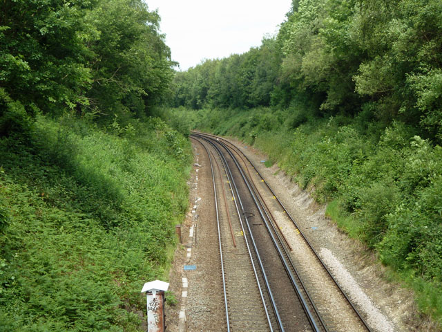
Dormans railway station
Dormans railway station is on the East Grinstead branch of the Oxted line in southern England and serves Dormansland and Dormans Park in Surrey. It is...

Lingfield College
Lingfield College is a private day school situated in Lingfield in the English county of Surrey, for pupils aged six months to eighteen years old. It was...

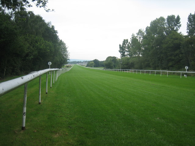
Lingfield Park Racecourse
Lingfield Park Racecourse (commonly referred to as Lingfield) is a horse racing course at Lingfield in Surrey, United Kingdom. It is owned by the ARC Racing...

Queen Victoria Hospital
The Queen Victoria Hospital (QVH), located in East Grinstead, West Sussex, England is the specialist reconstructive surgery centre for the south east of...

Lingfield railway station
Lingfield railway station is on the East Grinstead branch of the Oxted line in southern England and serves Lingfield in Surrey. It is 26 miles 23 chains...
Starborough Castle
Starborough Castle, known historically as Sterborough Castle, is a Neo-Gothic garden house of dressed sandstone near the eastern boundary of Surrey, built...
Nearby Amenities
Located within 500m of 51.157016,0.018082702Have you been to St John's Wood?
Leave your review of St John's Wood below (or comments, questions and feedback).