Burnpit Wood
Wood, Forest in Surrey Tandridge
England
Burnpit Wood

Burnpit Wood is a picturesque forest located in the county of Surrey, in southeastern England. Covering an area of approximately 200 acres, this woodland is known for its natural beauty and diverse ecosystem. It is situated near the village of Shere, just a few miles south of Guildford.
The wood is primarily composed of oak and beech trees, which provide a dense canopy and a rich habitat for a variety of wildlife. It is a designated Site of Special Scientific Interest (SSSI), recognized for its important role in conserving and protecting the local flora and fauna. The forest floor is carpeted with a plethora of wildflowers, including bluebells, primroses, and wood anemones, creating a vibrant and colorful display during the spring months.
Walking trails wind their way through the wood, offering visitors the opportunity to explore its tranquil and serene surroundings. The paths are well-maintained and suitable for all ages and abilities, making it an ideal destination for families, nature enthusiasts, and photographers alike.
Burnpit Wood also holds historical significance, with evidence of Iron Age settlements and Roman activity discovered within its boundaries. The ancient remains add an extra layer of intrigue and fascination to this already captivating woodland.
Overall, Burnpit Wood is a haven of natural beauty, providing a peaceful escape from the hustle and bustle of everyday life. With its diverse flora and fauna, well-maintained trails, and rich historical heritage, it is a must-visit destination for anyone seeking a deeper connection with nature in the heart of Surrey.
If you have any feedback on the listing, please let us know in the comments section below.
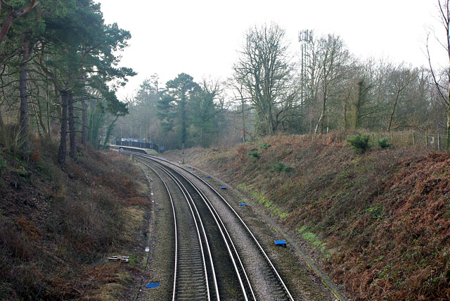
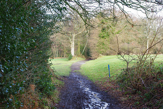
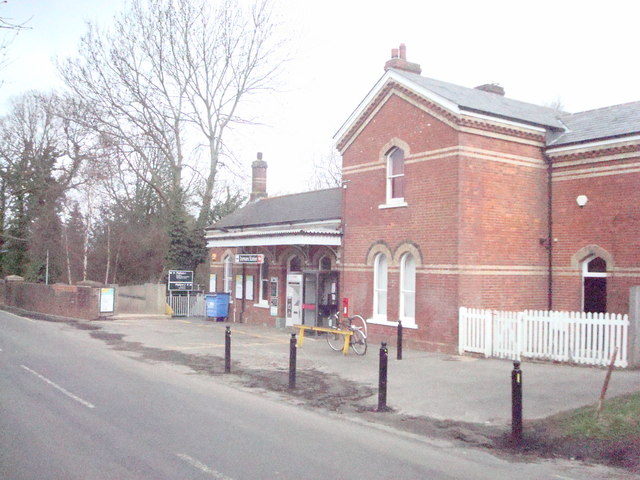
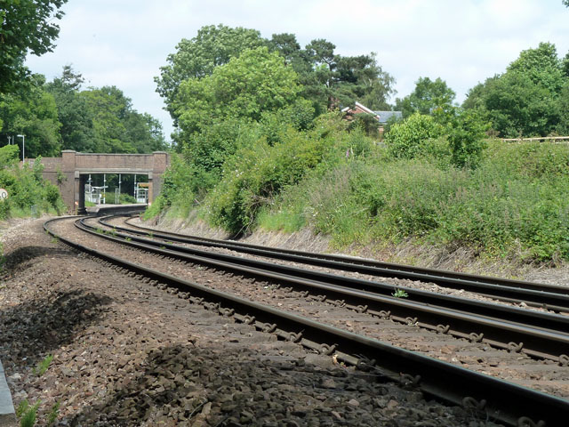
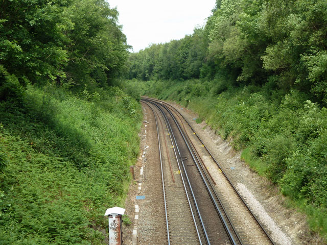
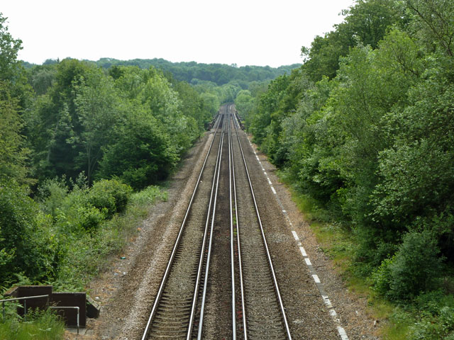
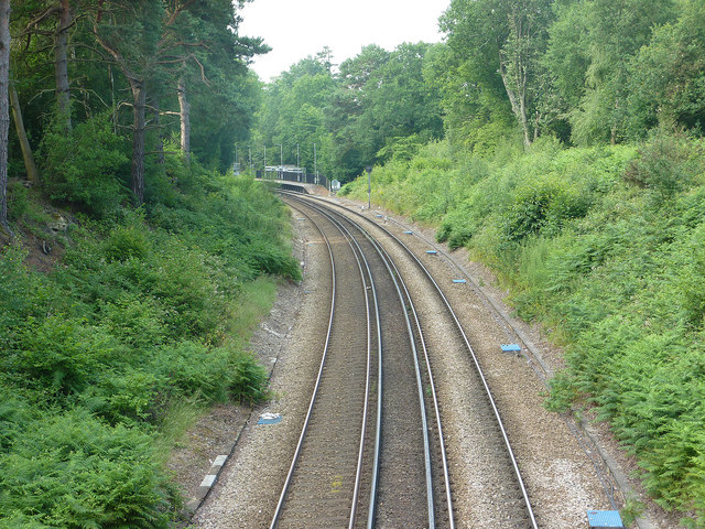
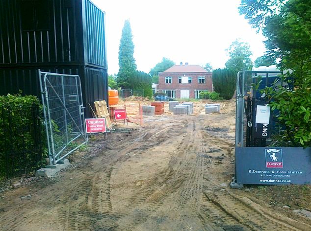
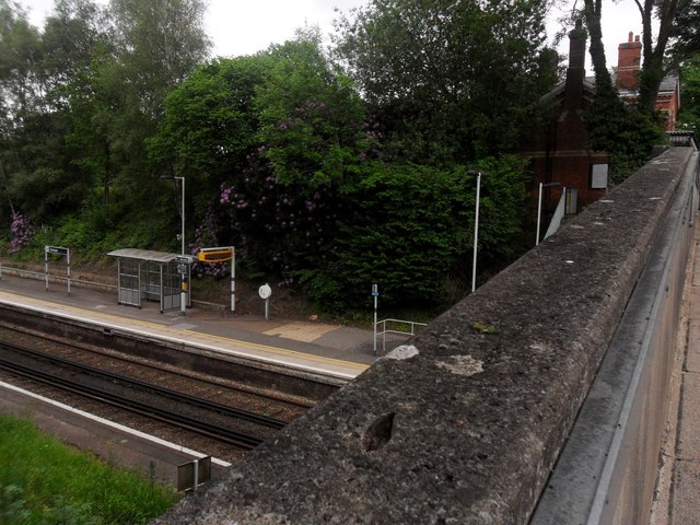
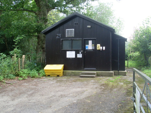
Burnpit Wood Images
Images are sourced within 2km of 51.153391/0.02019822 or Grid Reference TQ4141. Thanks to Geograph Open Source API. All images are credited.


Burnpit Wood is located at Grid Ref: TQ4141 (Lat: 51.153391, Lng: 0.02019822)
Administrative County: Surrey
District: Tandridge
Police Authority: Surrey
What 3 Words
///shapes.first.racing. Near Dormansland, Surrey
Nearby Locations
Related Wikis

Greathed Manor
Greathed Manor, Dormansland, Surrey, is a Victorian country house. Designed by the architect Robert Kerr in 1862–8, it is a Grade II listed building....

Dormansland, Surrey
Dormansland is a large village and civil parish with a low population approximately one mile south of Lingfield in Surrey, England. It was founded in the...

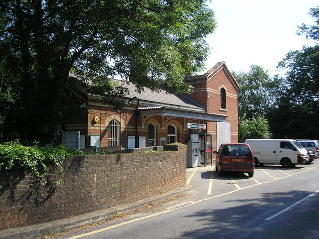
Dormans railway station
Dormans railway station is on the East Grinstead branch of the Oxted line in southern England and serves Dormansland and Dormans Park in Surrey. It is...

Queen Victoria Hospital
The Queen Victoria Hospital (QVH), located in East Grinstead, West Sussex, England is the specialist reconstructive surgery centre for the south east of...

Lingfield College
Lingfield College is a private day school situated in Lingfield in the English county of Surrey, for pupils aged six months to eighteen years old. It was...

Lingfield Park Racecourse
Lingfield Park Racecourse (commonly referred to as Lingfield) is a horse racing course at Lingfield in Surrey, United Kingdom. It is owned by the ARC Racing...

East Grinstead Meridian (electoral division)
East Grinstead Meridian is an electoral division of West Sussex in the United Kingdom, and returns one member to sit on West Sussex County Council. �...

East Grinstead Town F.C.
East Grinstead Town Football Club is a football club based in East Grinstead, West Sussex, England. They are currently members of the Isthmian League South...
Nearby Amenities
Located within 500m of 51.153391,0.02019822Have you been to Burnpit Wood?
Leave your review of Burnpit Wood below (or comments, questions and feedback).