Old Hall Holt
Wood, Forest in Lincolnshire East Lindsey
England
Old Hall Holt
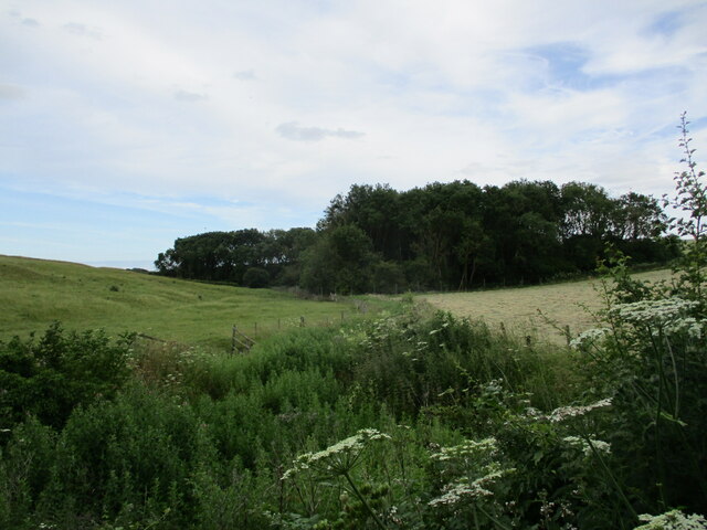
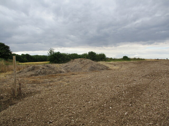
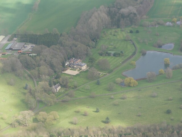
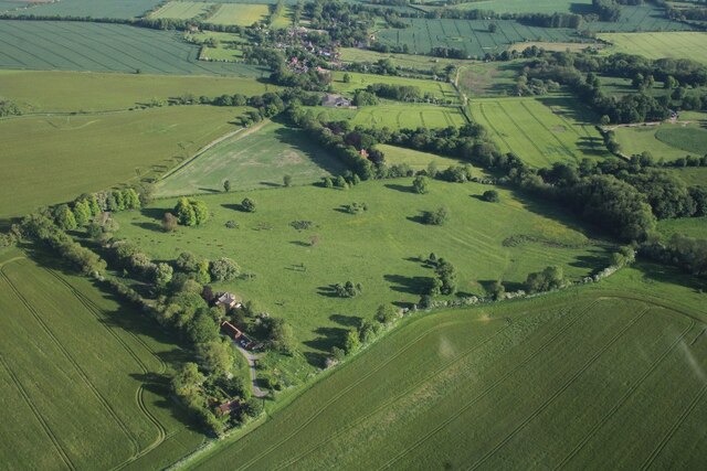
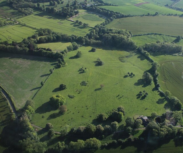
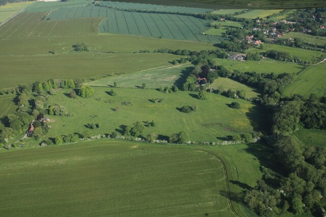
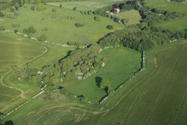
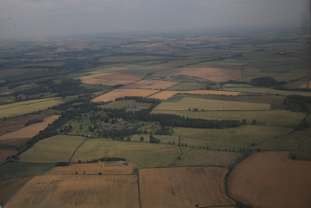
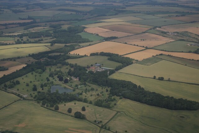
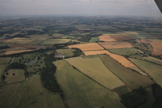
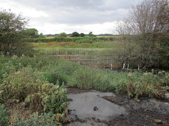
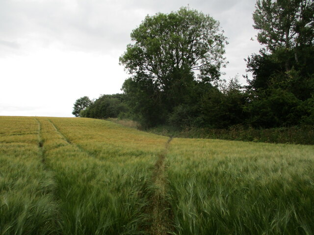
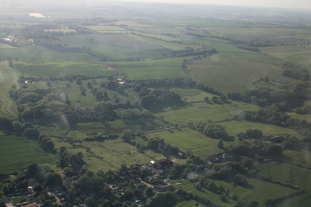
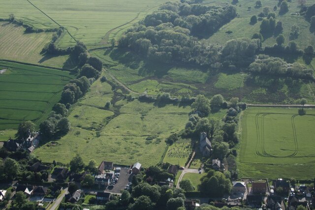
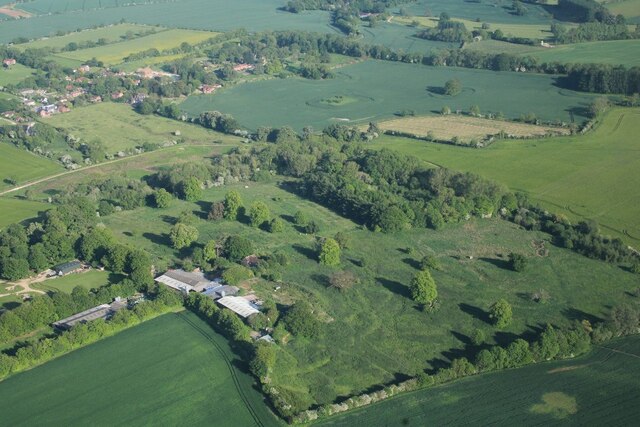
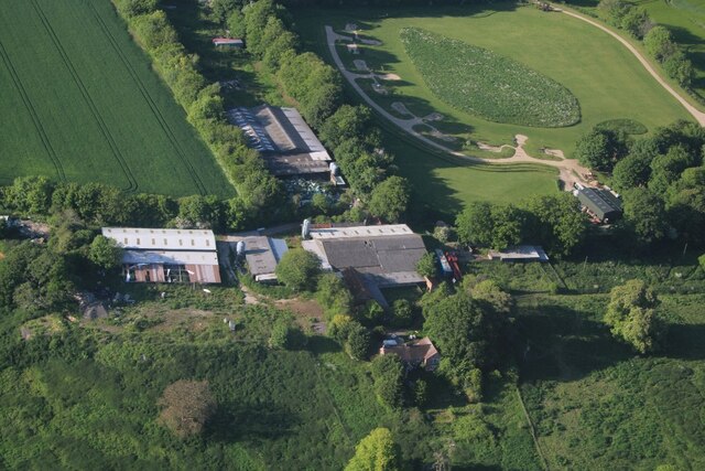
Old Hall Holt is a picturesque woodland located in Lincolnshire, England. Nestled within the heart of the county, this historic site is renowned for its enchanting beauty and rich natural diversity. Spanning over an area of approximately 100 hectares, the woodland is characterized by its dense canopy of ancient trees, creating a serene and tranquil atmosphere.
The wood boasts a variety of tree species, including oak, beech, and ash, some of which are believed to be several centuries old. These majestic trees provide a dense cover, allowing only dappled sunlight to filter through, creating a mystical ambience. The forest floor is adorned with an array of native flora, such as bluebells, primroses, and wild garlic, adding bursts of vibrant colors to the landscape.
Old Hall Holt is not only a haven for nature enthusiasts but also a habitat for a diverse range of wildlife. The wood is home to numerous bird species, including woodpeckers, owls, and various migratory birds. Squirrels scamper through the branches, while deer can occasionally be spotted grazing in the clearings.
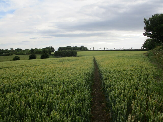
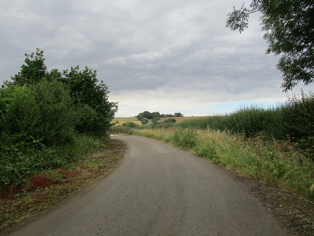
The woodland is open to the public throughout the year, providing ample opportunities for walking, hiking, and nature observation. Several well-marked trails wind through the forest, guiding visitors on a journey of exploration and discovery. Interpretive boards along the paths offer insights into the history and ecology of the wood, enhancing the visitor experience.
Old Hall Holt, with its ancient trees, vibrant flora, and abundant wildlife, is a true gem within Lincolnshire's natural landscape. Its tranquil beauty and rich biodiversity make it a haven for those seeking solace in nature's embrace.
If you have any feedback on the listing, please let us know in the comments section below.
Old Hall Holt Images
Images are sourced within 2km of 53.206803/0.11298197 or Grid Reference TF4169. Thanks to Geograph Open Source API. All images are credited.
Old Hall Holt is located at Grid Ref: TF4169 (Lat: 53.206803, Lng: 0.11298197)
Administrative County: Lincolnshire
District: East Lindsey
Police Authority: Lincolnshire
What 3 Words
///stooping.moon.cookers. Near Spilsby, Lincolnshire
Nearby Locations
Related Wikis

Dalby, Lincolnshire
Dalby is a village and civil parish in the East Lindsey district of Lincolnshire, England. It is situated approximately 3 miles (5 km) north from the town...

Partney
Partney is a small village and civil parish in the East Lindsey district of Lincolnshire, England. It is situated 3 miles (4.8 km) north of Spilsby, and...

Dexthorpe
Dexthorpe is a deserted medieval village in the East Lindsey district of Lincolnshire, England. It is in the parish of Dalby, and 3.5 miles (5.6 km) north...
Fordington, Lincolnshire
Fordington is a hamlet in the East Lindsey district of Lincolnshire in England. It is situated within Ulceby with Fordington civil parish. == References... ==

Langton by Spilsby
Langton by Spilsby, sometimes called Langton by Partney, is a village and civil parish in the East Lindsey district of Lincolnshire, England. It is situated...
Skendleby Priory
Skendleby Priory was a priory in the village of Skendleby, Lincolnshire, England. The believed remains of St James Chapel, Skendleby Priory, were uncovered...

Skendleby
Skendleby is a small village and civil parish in the East Lindsey district of Lincolnshire, England. It is situated near to the A158 and lies 35 miles...

Sausthorpe
Sausthorpe is a small village and civil parish in the East Lindsey district of Lincolnshire, England, 8 miles (13 km) east of Horncastle and 3 miles (4...
Nearby Amenities
Located within 500m of 53.206803,0.11298197Have you been to Old Hall Holt?
Leave your review of Old Hall Holt below (or comments, questions and feedback).