Five Acre Wood
Wood, Forest in Surrey Tandridge
England
Five Acre Wood
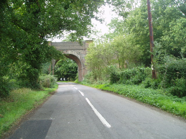
Five Acre Wood is a picturesque woodland located in Surrey, England. Covering an area of five acres, the wood is a haven of tranquility and natural beauty. It is situated in the heart of the Surrey Hills Area of Outstanding Natural Beauty, a designation that highlights its exceptional landscape and ecological value.
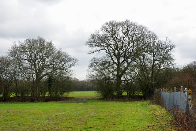
The wood is predominantly made up of oak and beech trees, towering majestically over the forest floor. The dense canopy provides ample shade, creating a cool and inviting atmosphere even on hot summer days. Walking through the wood, visitors are greeted with a rich tapestry of vibrant green foliage, punctuated by bursts of color from wildflowers that bloom throughout the year.
Five Acre Wood is home to a diverse range of wildlife, including various bird species, mammals, and insects. Birdwatchers can spot common species such as robins, blackbirds, and blue tits, as well as rarer visitors like woodpeckers and owls. Squirrels can be seen darting between the branches, and if lucky, visitors may catch a glimpse of a deer or fox.
The wood offers a network of well-maintained paths and trails, making it an ideal destination for walkers and nature enthusiasts. As visitors explore the wood, they can enjoy the peaceful ambiance and immerse themselves in the wonders of nature. The wood also boasts several picnic spots, providing an opportunity to relax and enjoy a meal surrounded by the serenity of the forest.
Overall, Five Acre Wood is a delightful woodland that offers a welcome escape from the hustle and bustle of everyday life. With its stunning natural scenery and abundant wildlife, it is a destination that appeals to individuals seeking solace in nature and a deeper connection with the environment.
If you have any feedback on the listing, please let us know in the comments section below.
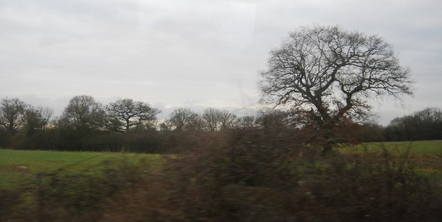
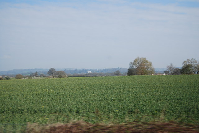
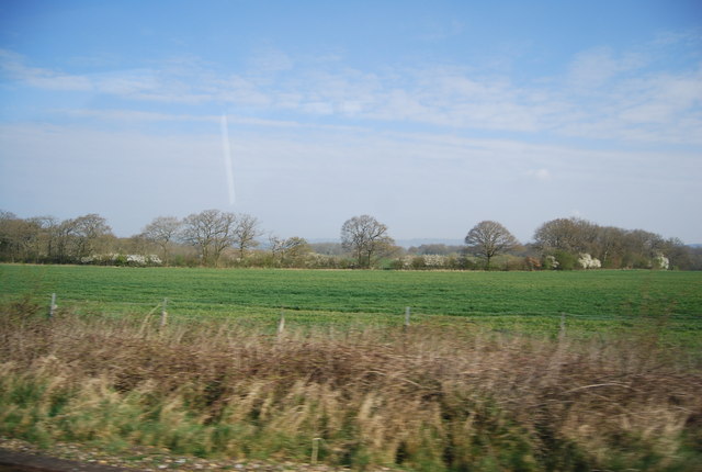
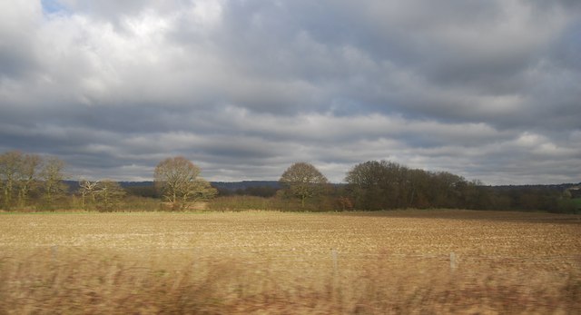
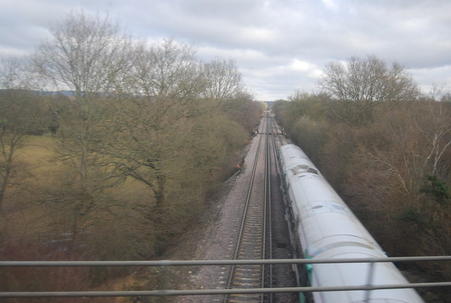
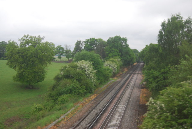
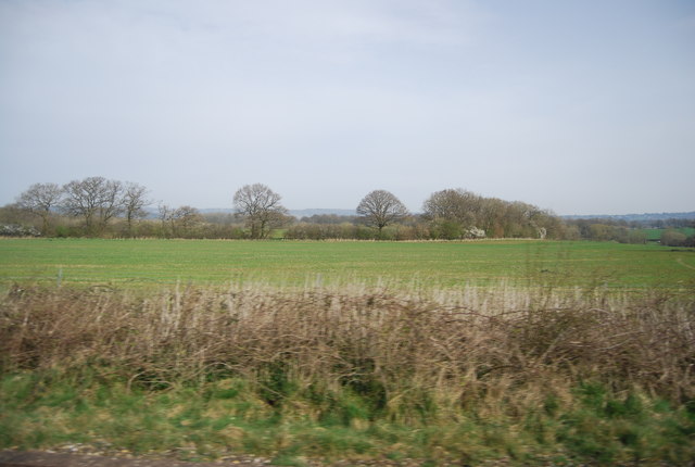
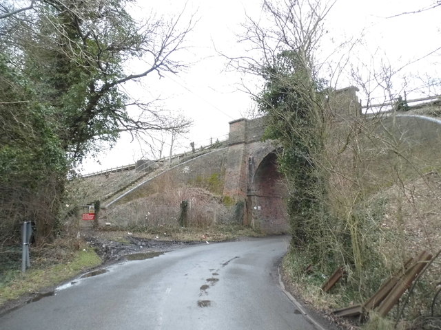
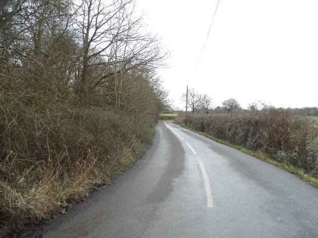
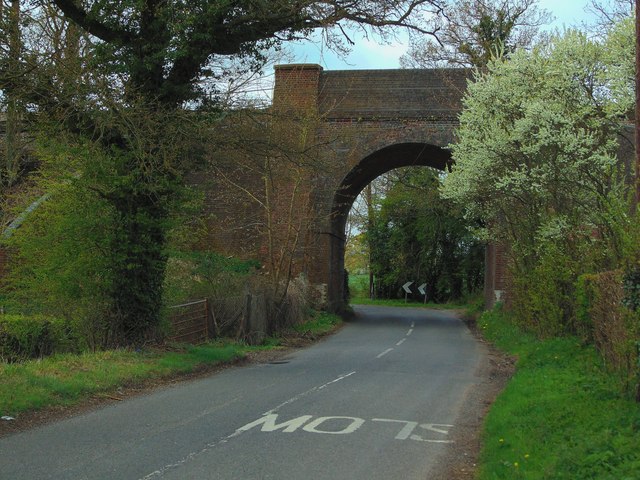
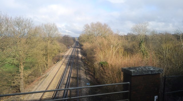
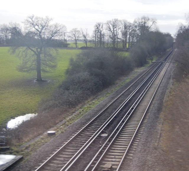
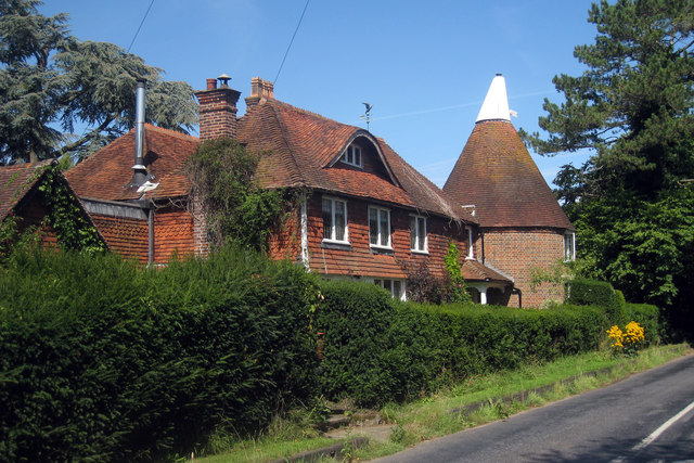
Five Acre Wood Images
Images are sourced within 2km of 51.219187/0.016389892 or Grid Reference TQ4048. Thanks to Geograph Open Source API. All images are credited.


Five Acre Wood is located at Grid Ref: TQ4048 (Lat: 51.219187, Lng: 0.016389892)
Administrative County: Surrey
District: Tandridge
Police Authority: Surrey
What 3 Words
///food.hurls.runs. Near Oxted, Surrey
Nearby Locations
Related Wikis

Staffhurst Wood
Staffhurst Wood is a 51-hectare (130-acre) biological Site of Special Scientific Interest south of Oxted in Surrey. It is a Nature Conservation Review...

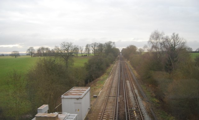
Monks Lane Halt railway station
Monks Lane Halt was a railway halt about 2.5 kilometres (1.6 mi) south of Hurst Green. It was on the Uckfield Branch of the Oxted line beside Monks Lane...
Crowhurst, Surrey
Crowhurst is a village and civil parish in the Tandridge district of Surrey, England. The nearest town is Oxted, 3 miles (5 km) to the north. Rated two...

Crowhurst Yew
The Crowhurst Yew is a yew tree in the churchyard of St George's Church in Crowhurst, Surrey, England. It is thought to be about 4,000 years old. Its girth...
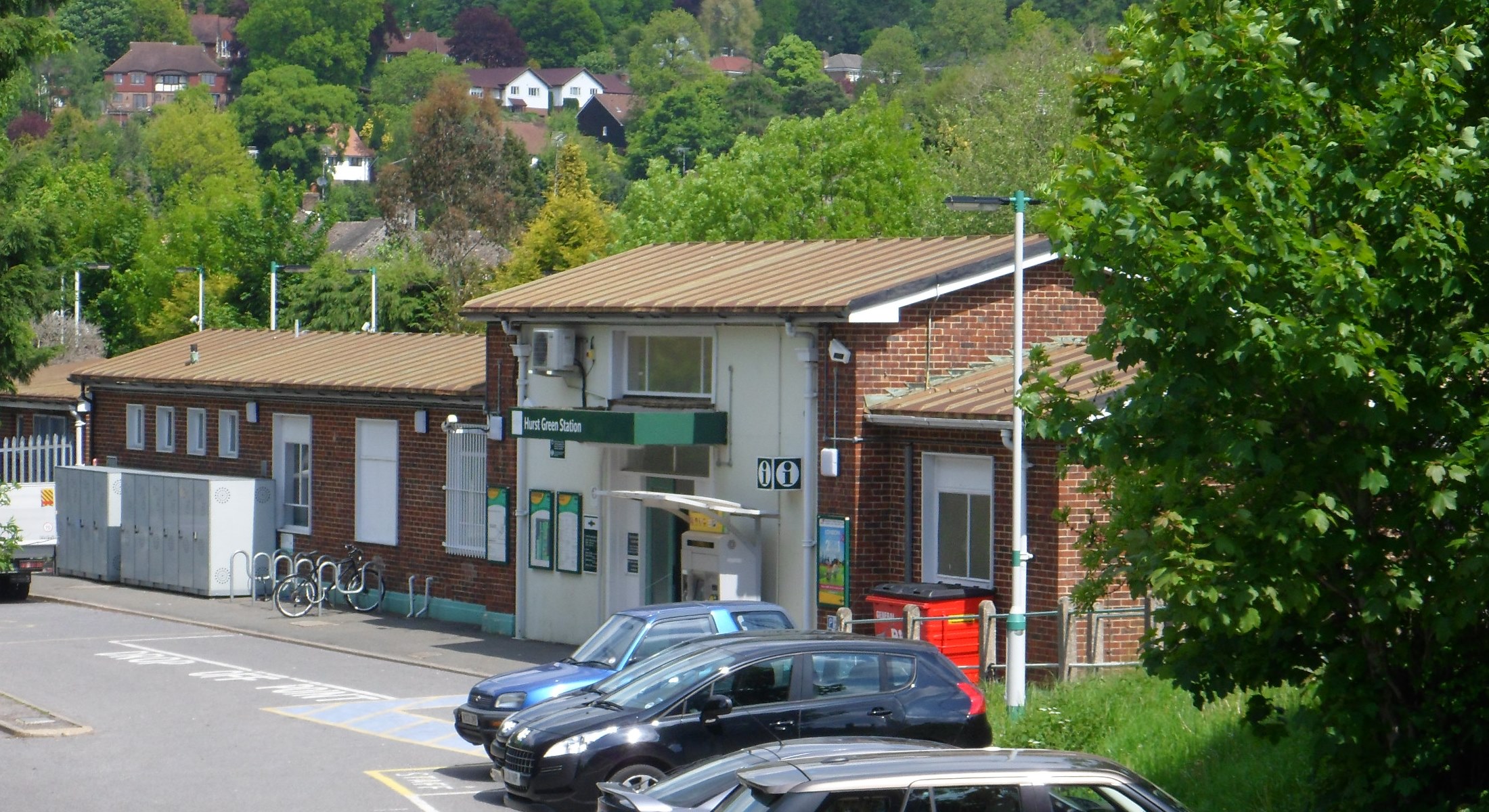
Hurst Green railway station
Hurst Green railway station is on the Oxted line in southern England and serves the Hurst Green neighbourhood of Oxted in Surrey. It is 21 miles 20 chains...

Crowhurst Place
Crowhurst Place, Crowhurst, Surrey, England is a medieval hall house dating from the early 15th century. In the 20th century, the house was reconstructed...

Haxted Watermill
Haxted Watermill is a much-restored Grade II listed watermill in Surrey, England, close to the border with Kent, and is powered by the River Eden. ��2...

Edenbridge railway station
Edenbridge railway station is one of two stations serving Edenbridge in Kent, England. It is 33 miles 3 chains (33.04 miles, 53.17 km) measured from London...
Nearby Amenities
Located within 500m of 51.219187,0.016389892Have you been to Five Acre Wood?
Leave your review of Five Acre Wood below (or comments, questions and feedback).