Great Earls Wood

Wood, Forest in Surrey Tandridge

England

Great Earls Wood

Railway bridge On the railway line between Hurst Green and Lingfield on Caterfield Lane
Railway bridge Credit: Nigel Freeman

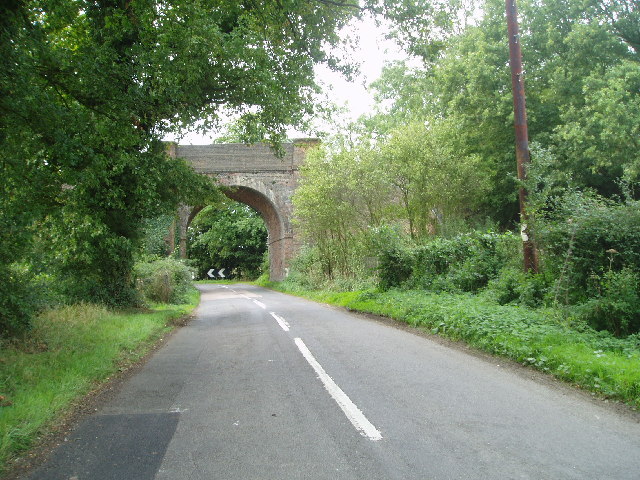
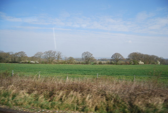
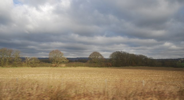
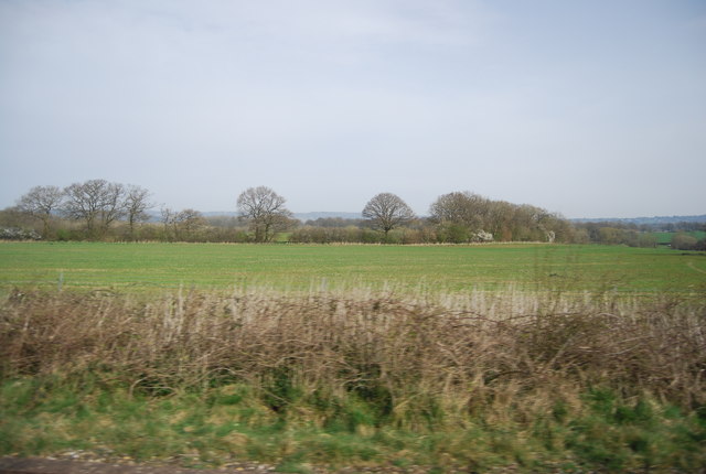
Great Earls Wood is a picturesque forest located in Surrey, England. Covering an area of approximately 200 hectares, it is known for its stunning natural beauty and diverse range of flora and fauna. The wood is situated near the village of Redhill and is easily accessible to visitors from nearby towns and cities.

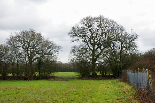
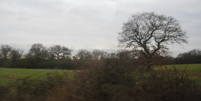
The forest is predominantly made up of broadleaf trees, including oak, beech, and birch, which create a dense canopy and provide a habitat for a wide variety of wildlife. Visitors to Great Earls Wood can expect to see an array of bird species, such as woodpeckers, nuthatches, and tawny owls, along with mammals like deer, badgers, and foxes.

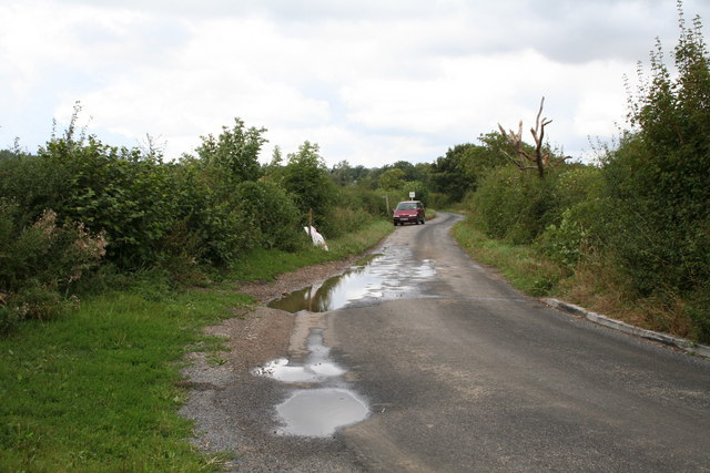
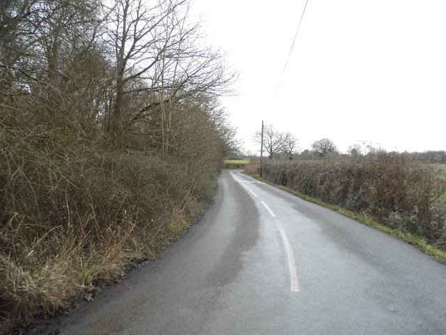
There are several well-maintained walking trails that wind through the wood, offering visitors the opportunity to explore its natural wonders. These trails range in length and difficulty, catering to both casual walkers and more experienced hikers. Along the way, visitors can enjoy the peaceful atmosphere and immerse themselves in the tranquility of the forest.

Great Earls Wood is also a popular spot for nature enthusiasts, birdwatchers, and photographers. Its diverse ecosystem provides ample opportunities to observe and capture the beauty of wildlife and plant life.

Overall, Great Earls Wood is a stunning natural haven in Surrey, offering visitors a chance to escape the hustle and bustle of everyday life and connect with nature. Its tranquil ambiance, diverse wildlife, and scenic trails make it a must-visit destination for outdoor enthusiasts and nature lovers alike.

If you have any feedback on the listing, please let us know in the comments section below.

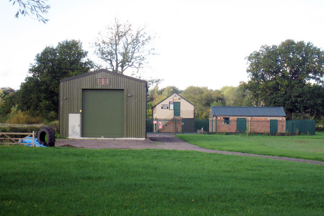
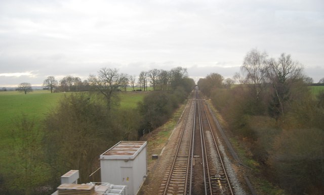
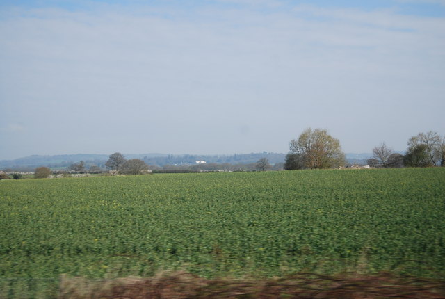
Great Earls Wood Images

Images are sourced within 2km of 51.220715/0.013850277 or Grid Reference TQ4048. Thanks to Geograph Open Source API. All images are credited.

Railway bridge On the railway line between Hurst Green and Lingfield on Caterfield Lane
Railway bridge
On the railway line between Hurst Green and Lingfield on Caterfield Lane
Meadow and woodland, near Crowhurst, Surrey No metalled road enters this gridsquare, which is thus a haven of peaceful English countryside.  The infant River Eden meanders just beyond the trees, and a large herd of Channel Islands cattle can also just be discerned.
Meadow and woodland, near Crowhurst, Surrey
No metalled road enters this gridsquare, which is thus a haven of peaceful English countryside. The infant River Eden meanders just beyond the trees, and a large herd of Channel Islands cattle can also just be discerned.
Popes Lane, near Oxted, Surrey Popes Lane is a narrow and winding lane that has been used by motorists as a cut-through between Godstone in Surrey and the Edenbridge area of Kent, but it is not really suitable for heavy traffic and the surface has given way in places, resulting in the closure of the road to through traffic at the present time.  It is seen here after a heavy shower.
Popes Lane, near Oxted, Surrey
Popes Lane is a narrow and winding lane that has been used by motorists as a cut-through between Godstone in Surrey and the Edenbridge area of Kent, but it is not really suitable for heavy traffic and the surface has given way in places, resulting in the closure of the road to through traffic at the present time. It is seen here after a heavy shower.
Way between fields The railway is behind the fence on the right.
Way between fields
The railway is behind the fence on the right.
Ruin of what? Steps to a concrete landing with a steel handrail indicate a structure of no great age.
Ruin of what?
Steps to a concrete landing with a steel handrail indicate a structure of no great age.
Older buildings, Gincox Farm The farm might be called Upper Gincox Farm, Jincox Farm also appears on some maps.
Older buildings, Gincox Farm
The farm might be called Upper Gincox Farm, Jincox Farm also appears on some maps.
Pramoni Farm Off Popes Lane
Pramoni Farm
Off Popes Lane
Oxted Line This branch terminates at East Grinstead.
Oxted Line
This branch terminates at East Grinstead.
Countryside south of the railway line
Farmland north of the railway
Farmland east of Godstone
Farmland north of the railway line
Oxted Line The Oxted Line runs from South Croydon, dividing at Hurst Green, one branch terminating at East Grinstead the other at Uckfield. The latter line was part of the longer Wealden line <a title="https://www.geograph.org.uk/snippet/4331" href="https://www.geograph.org.uk/snippet/4331">Link</a> .
The line opened in 1884.
Wikipedia: <span class="nowrap"><a title="http://en.wikipedia.org/wiki/Oxted_Line" rel="nofollow ugc noopener" href="http://en.wikipedia.org/wiki/Oxted_Line">Link</a><img style="margin-left:2px;" alt="External link" title="External link - shift click to open in new window" src="https://s1.geograph.org.uk/img/external.png" width="10" height="10"/></span>
Oxted Line
The Oxted Line runs from South Croydon, dividing at Hurst Green, one branch terminating at East Grinstead the other at Uckfield. The latter line was part of the longer Wealden line Link . The line opened in 1884. Wikipedia: LinkExternal link
Line to East Grinstead The Oxted Line runs from South Croydon, dividing at Hurst Green, one branch terminating at East Grinstead the other at Uckfield. The latter line was part of the longer Wealden line <a title="https://www.geograph.org.uk/snippet/4331" href="https://www.geograph.org.uk/snippet/4331">Link</a> .
The line opened in 1884.
Wikipedia: <span class="nowrap"><a title="http://en.wikipedia.org/wiki/Oxted_Line" rel="nofollow ugc noopener" href="http://en.wikipedia.org/wiki/Oxted_Line">Link</a><img style="margin-left:2px;" alt="External link" title="External link - shift click to open in new window" src="https://s1.geograph.org.uk/img/external.png" width="10" height="10"/></span>
Line to East Grinstead
The Oxted Line runs from South Croydon, dividing at Hurst Green, one branch terminating at East Grinstead the other at Uckfield. The latter line was part of the longer Wealden line Link . The line opened in 1884. Wikipedia: LinkExternal link
In the Eden Valley
In the Eden Valley
Railway bridge on Caterfield Lane, Crowhurst
Crowhurst Lane, Crowhurst
Caterfield Lane, Crowhurst
Show me another place!

Great Earls Wood is located at Grid Ref: TQ4048 (Lat: 51.220715, Lng: 0.013850277)

Administrative County: Surrey

District: Tandridge

Police Authority: Surrey

What 3 Words

///itself.straw.space. Near Oxted, Surrey

Related Wikis

Staffhurst Wood

Staffhurst Wood is a 51-hectare (130-acre) biological Site of Special Scientific Interest south of Oxted in Surrey. It is a Nature Conservation Review...

Monks Lane Halt railway station

Monks Lane Halt was a railway halt about 2.5 kilometres (1.6 mi) south of Hurst Green. It was on the Uckfield Branch of the Oxted line beside Monks Lane...

Crowhurst, Surrey

Crowhurst is a village and civil parish in the Tandridge district of Surrey, England. The nearest town is Oxted, 3 miles (5 km) to the north. Rated two...

Crowhurst Yew

The Crowhurst Yew is a yew tree in the churchyard of St George's Church in Crowhurst, Surrey, England. It is thought to be about 4,000 years old. Its girth...

Hurst Green railway station

Hurst Green railway station is on the Oxted line in southern England and serves the Hurst Green neighbourhood of Oxted in Surrey. It is 21 miles 20 chains...

Crowhurst Place

Crowhurst Place, Crowhurst, Surrey, England is a medieval hall house dating from the early 15th century. In the 20th century, the house was reconstructed...

Hazelwood School

Hazelwood School is a private preparatory school in Limpsfield, Surrey, England. The school was established in 1890 as a boarding school for boys aged...

Haxted Watermill

Haxted Watermill is a much-restored Grade II listed watermill in Surrey, England, close to the border with Kent, and is powered by the River Eden. ��2...

Nearby Amenities

Located within 500m of 51.220715,0.013850277
Restaurant
Royal Oak
Lat/Long: 51.218484/0.0124776
Barrier: stile
Material: wood
Stile: stepover
Lat/Long: 51.2178103/0.0145077
Fixme: where does this footpath go?
Lat/Long: 51.2199364/0.0122635
Bench
Backrest: no
Material: wood
Lat/Long: 51.2198736/0.0126852
Barrier: kissing_gate
Lat/Long: 51.2187928/0.0129862
Board Type: nature
Information: board
Tourism: information
Lat/Long: 51.2188046/0.0129472
Barrier: stile
Stile: squeezer
Vehicle: private
Lat/Long: 51.2204395/0.0159647
Board Type: nature
Information: board
Tourism: information
Lat/Long: 51.2220049/0.013261
Barrier: stile
Stile: squeezer
Lat/Long: 51.2220985/0.0132861
The data included in this document is from www.openstreetmap.org. The data is made available under ODbL.

Have you been to Great Earls Wood?

Leave your review of Great Earls Wood below (or comments, questions and feedback).