Little Earls Wood
Wood, Forest in Surrey Tandridge
England
Little Earls Wood
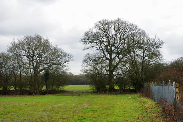
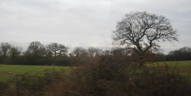
Little Earls Wood is a small forest located in Surrey, England. Covering an area of approximately 50 acres, it is situated near the village of Ockley, about 10 miles south of Dorking. The woodland is part of the Surrey Hills Area of Outstanding Natural Beauty and is managed by the Forestry Commission.
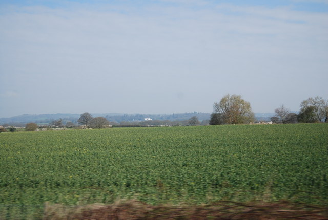
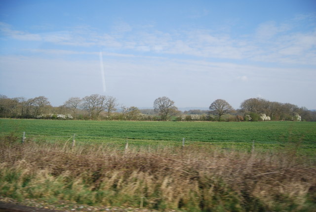
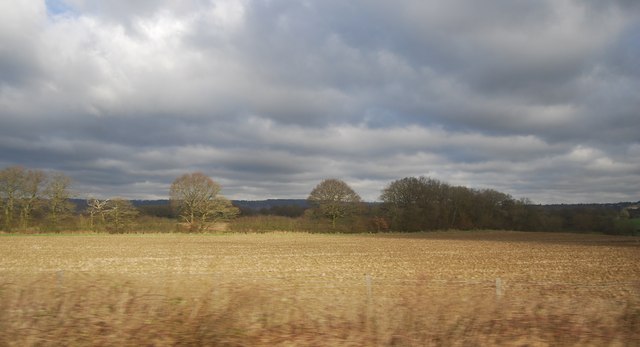
The forest is predominantly composed of broadleaf trees, including oak, beech, and birch. These trees provide a diverse and vibrant habitat for a variety of wildlife, including deer, foxes, and numerous bird species. The forest floor is covered with a dense carpet of ferns, bluebells, and other wildflowers, adding to its natural beauty.
Little Earls Wood is a popular destination for nature enthusiasts and walkers, offering several well-maintained trails that wind their way through the woodland. These trails provide an opportunity to explore the forest and enjoy its tranquil atmosphere. There are also picnic areas and benches scattered throughout the forest, providing visitors with a place to relax and take in the surroundings.
In addition to its natural beauty, Little Earls Wood holds historical significance. It is believed that the forest was once part of the hunting grounds of the Earls of Surrey during the medieval period. Remnants of ancient earthworks and ditches can still be found within the woodland, adding a sense of mystery and intrigue to the area.
Overall, Little Earls Wood is a charming woodland that offers a peaceful escape from the hustle and bustle of everyday life. With its picturesque trails, diverse wildlife, and rich history, it is a place that truly showcases the natural beauty of Surrey.
If you have any feedback on the listing, please let us know in the comments section below.
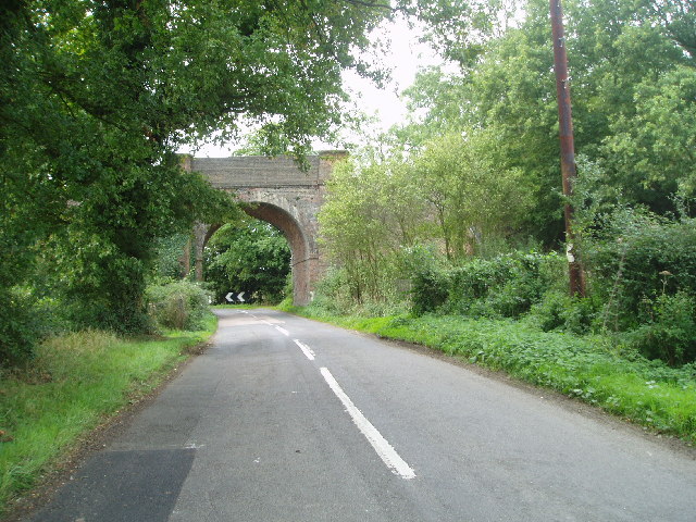
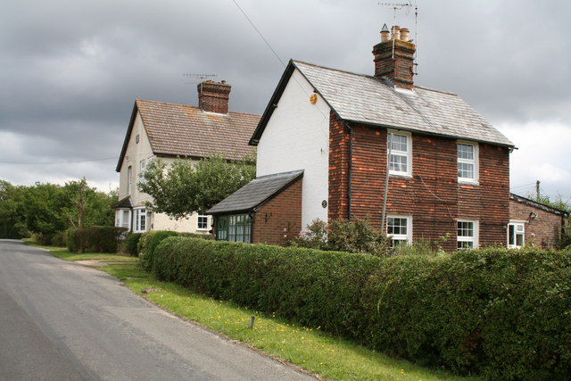
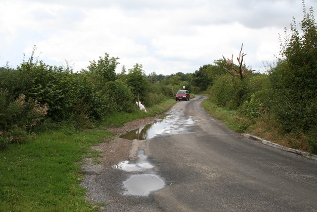
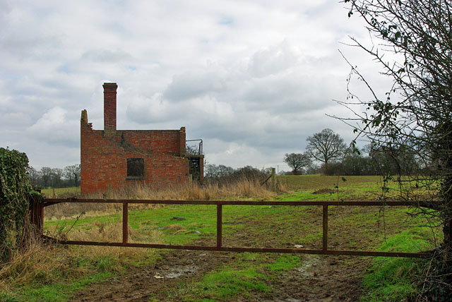
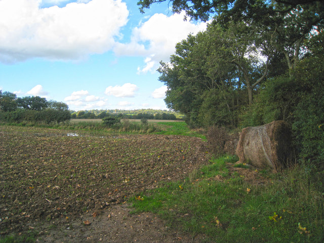
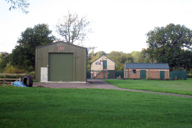
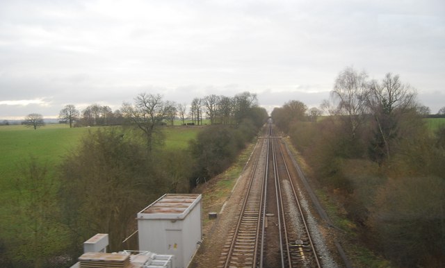
Little Earls Wood Images
Images are sourced within 2km of 51.221873/0.011365986 or Grid Reference TQ4048. Thanks to Geograph Open Source API. All images are credited.


Little Earls Wood is located at Grid Ref: TQ4048 (Lat: 51.221873, Lng: 0.011365986)
Administrative County: Surrey
District: Tandridge
Police Authority: Surrey
What 3 Words
///lamps.happen.down. Near Oxted, Surrey
Nearby Locations
Related Wikis

Staffhurst Wood
Staffhurst Wood is a 51-hectare (130-acre) biological Site of Special Scientific Interest south of Oxted in Surrey. It is a Nature Conservation Review...

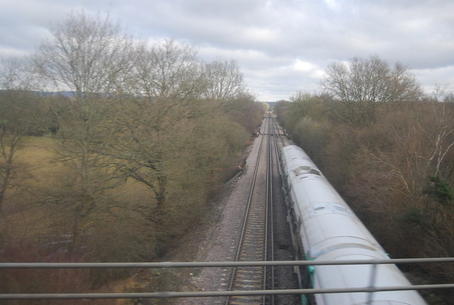
Monks Lane Halt railway station
Monks Lane Halt was a railway halt about 2.5 kilometres (1.6 mi) south of Hurst Green. It was on the Uckfield Branch of the Oxted line beside Monks Lane...

Crowhurst Yew
The Crowhurst Yew is a yew tree in the churchyard of St George's Church in Crowhurst, Surrey, England. It is thought to be about 4,000 years old. Its girth...
Crowhurst, Surrey
Crowhurst is a village and civil parish in the Tandridge district of Surrey, England. The nearest town is Oxted, 3 miles (5 km) to the north. Rated two...
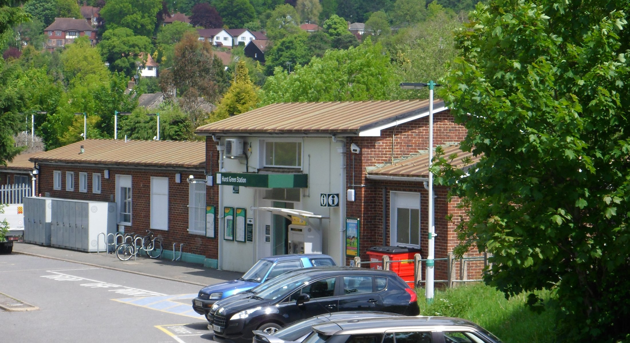
Hurst Green railway station
Hurst Green railway station is on the Oxted line in southern England and serves the Hurst Green neighbourhood of Oxted in Surrey. It is 21 miles 20 chains...

Hazelwood School
Hazelwood School is a private preparatory school in Limpsfield, Surrey, England. The school was established in 1890 as a boarding school for boys aged...

Crowhurst Place
Crowhurst Place, Crowhurst, Surrey, England is a medieval hall house dating from the early 15th century. In the 20th century, the house was reconstructed...

Haxted Watermill
Haxted Watermill is a much-restored Grade II listed watermill in Surrey, England, close to the border with Kent, and is powered by the River Eden. ��2...
Nearby Amenities
Located within 500m of 51.221873,0.011365986Have you been to Little Earls Wood?
Leave your review of Little Earls Wood below (or comments, questions and feedback).