Sunt Wood
Wood, Forest in Surrey Tandridge
England
Sunt Wood
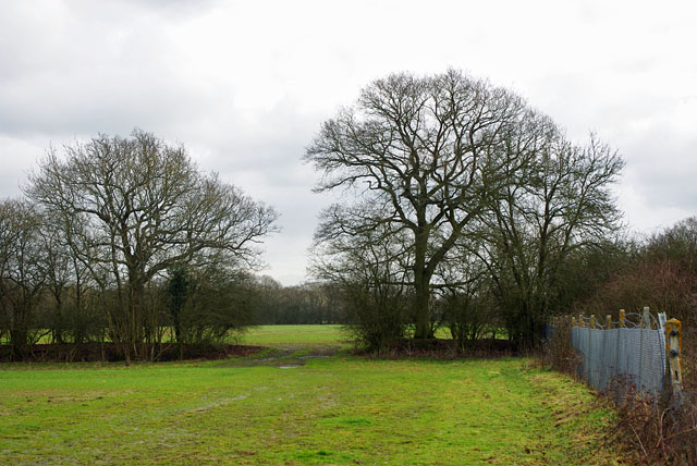
Sunt Wood is a picturesque woodland located in Surrey, England. It is nestled in the heart of the Surrey Hills Area of Outstanding Natural Beauty, making it a popular destination for nature enthusiasts and hikers alike. Covering an area of approximately 250 acres, Sunt Wood boasts a diverse range of flora and fauna, showcasing the beauty of the English countryside.
The wood is primarily composed of ancient oak and beech trees, creating a dense and enchanting forest canopy. The woodland floor is carpeted with bluebells during the springtime, transforming the forest into a sea of vibrant colors. Numerous footpaths and trails wind their way through the wood, providing visitors with the opportunity to explore its hidden corners and discover its natural wonders.
Sunt Wood is home to a rich variety of wildlife, including deer, foxes, and a wide range of bird species. Birdwatchers flock to the area to catch glimpses of woodpeckers, owls, and other woodland birds. The tranquil atmosphere of the wood also attracts photographers and artists, who find inspiration in its serene beauty.
Visitors to Sunt Wood can enjoy a peaceful and immersive experience in nature. The wood offers several picnic spots and benches where visitors can relax and take in the breathtaking surroundings. The wood is managed by the Surrey Wildlife Trust, which ensures that it remains a well-preserved and cherished natural gem for generations to come.
If you have any feedback on the listing, please let us know in the comments section below.
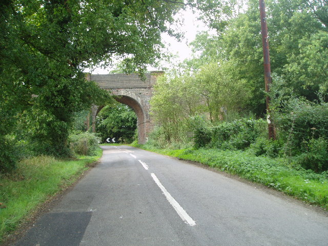
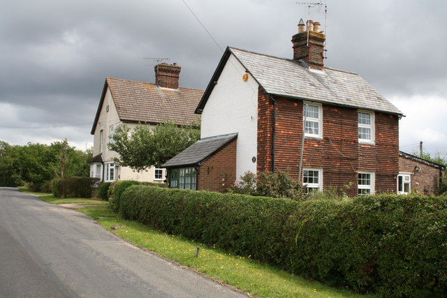
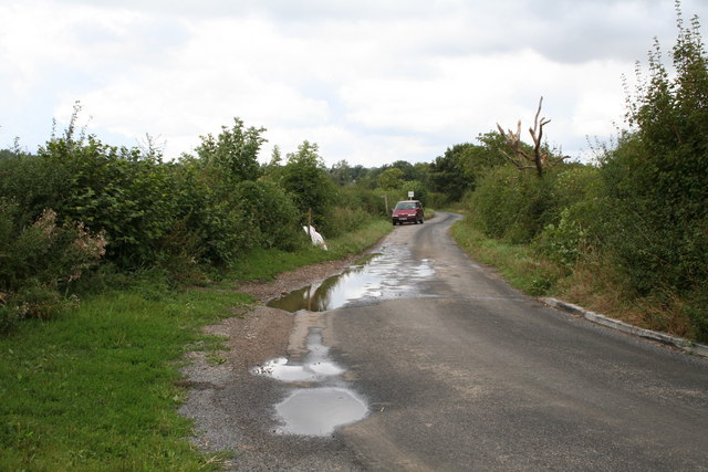
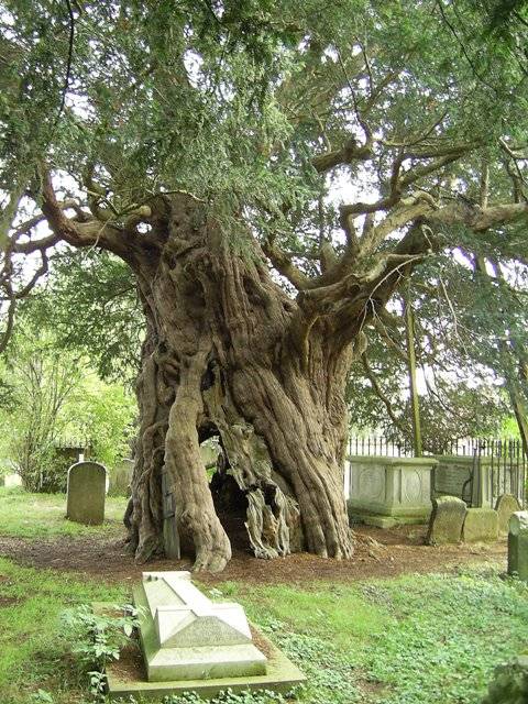
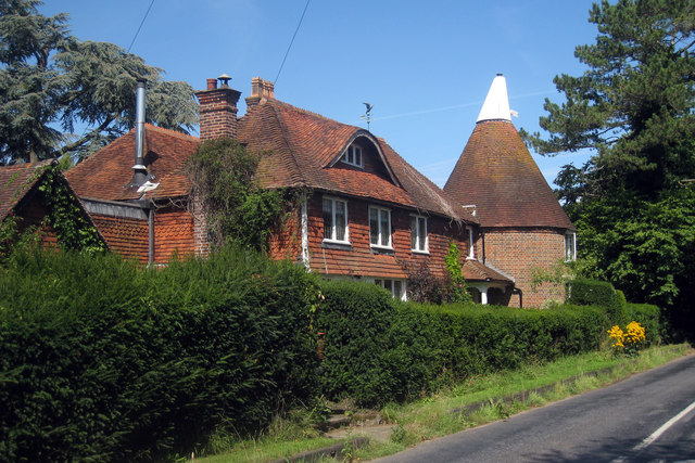
Sunt Wood Images
Images are sourced within 2km of 51.221655/0.005184151 or Grid Reference TQ4048. Thanks to Geograph Open Source API. All images are credited.


Sunt Wood is located at Grid Ref: TQ4048 (Lat: 51.221655, Lng: 0.005184151)
Administrative County: Surrey
District: Tandridge
Police Authority: Surrey
What 3 Words
///beast.error.shall. Near Oxted, Surrey
Nearby Locations
Related Wikis

Staffhurst Wood
Staffhurst Wood is a 51-hectare (130-acre) biological Site of Special Scientific Interest south of Oxted in Surrey. It is a Nature Conservation Review...

Crowhurst Yew
The Crowhurst Yew is a yew tree in the churchyard of St George's Church in Crowhurst, Surrey, England. It is thought to be about 4,000 years old. Its girth...
Crowhurst, Surrey
Crowhurst is a village and civil parish in the Tandridge district of Surrey, England. The nearest town is Oxted, 3 miles (5 km) to the north. Rated two...

Monks Lane Halt railway station
Monks Lane Halt was a railway halt about 2.5 kilometres (1.6 mi) south of Hurst Green. It was on the Uckfield Branch of the Oxted line beside Monks Lane...
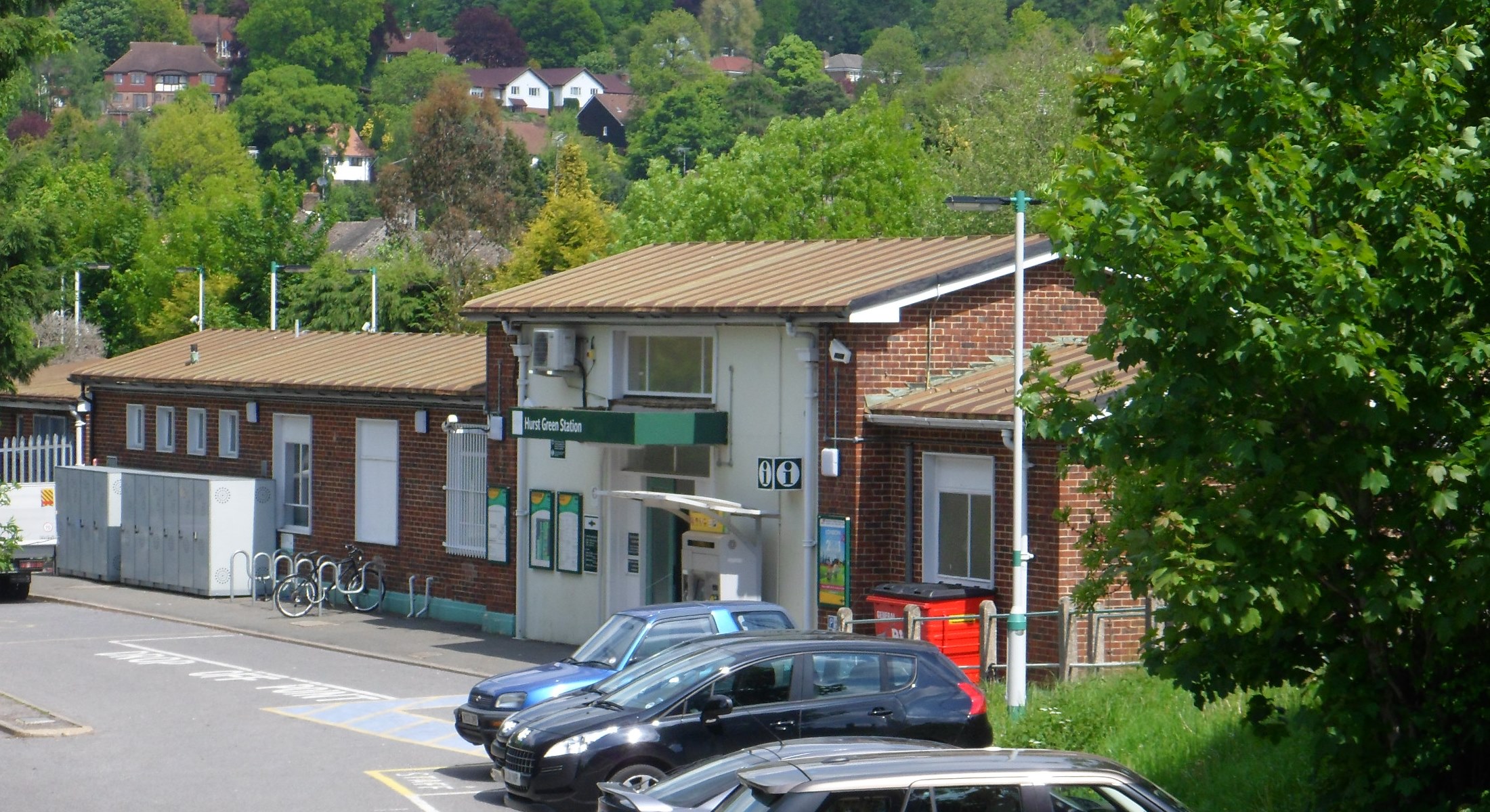
Hurst Green railway station
Hurst Green railway station is on the Oxted line in southern England and serves the Hurst Green neighbourhood of Oxted in Surrey. It is 21 miles 20 chains...

Crowhurst Place
Crowhurst Place, Crowhurst, Surrey, England is a medieval hall house dating from the early 15th century. In the 20th century, the house was reconstructed...

Hazelwood School
Hazelwood School is a private preparatory school in Limpsfield, Surrey, England. The school was established in 1890 as a boarding school for boys aged...

Tandridge
Tandridge is a village and civil parish in the Tandridge District, in the county of Surrey, England. Its nucleus is on a rise of the Greensand Ridge between...
Nearby Amenities
Located within 500m of 51.221655,0.005184151Have you been to Sunt Wood?
Leave your review of Sunt Wood below (or comments, questions and feedback).