Walk Wood
Wood, Forest in Surrey Tandridge
England
Walk Wood
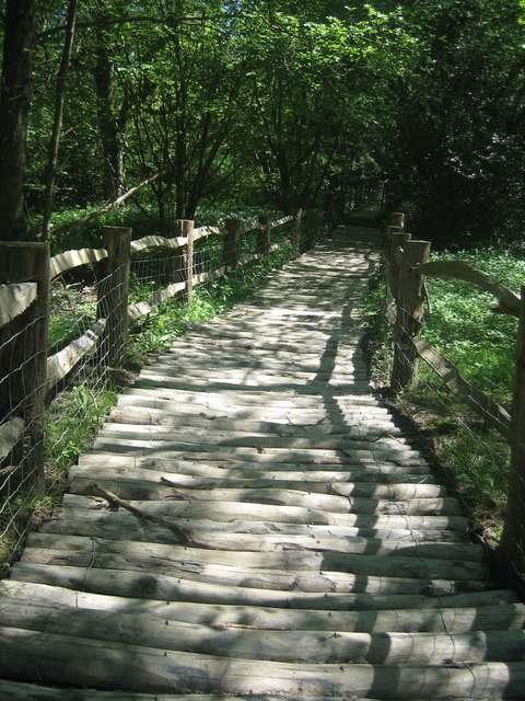
Walk Wood is a charming woodland area located in Surrey, England. Situated within the enchanting Surrey Hills, this vast forest spans an area of approximately 100 acres. It is a popular destination for nature lovers and outdoor enthusiasts who seek tranquility and a connection with nature.
The woodland is composed of a diverse range of tree species, including oak, beech, and birch. The lush green canopy provides a haven for an array of wildlife, such as deer, foxes, and various bird species. The forest floor is adorned with a rich carpet of bluebells during the spring months, creating a truly picturesque scene.
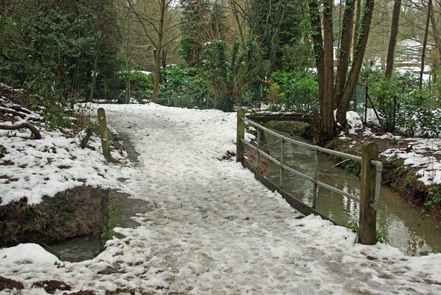
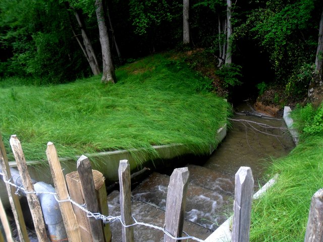
A network of meandering trails and footpaths allows visitors to explore the woods at their own pace. These paths wind through the dense foliage, providing glimpses of picturesque clearings and stunning viewpoints along the way. The wood is also intersected by a small stream, adding to its natural charm.
Walk Wood is a perfect destination for those seeking outdoor activities. Visitors can enjoy leisurely walks, picnics, and even horseback riding on designated trails. The serene atmosphere makes it an ideal spot for meditation and mindfulness exercises.
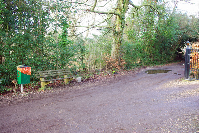
The woodland is easily accessible, with ample parking available nearby. Local authorities have also ensured that the wood is well-maintained and that facilities, such as picnic areas and benches, are provided for the convenience of visitors.
Overall, Walk Wood in Surrey offers a tranquil escape from the hustle and bustle of everyday life. Its natural beauty, diverse wildlife, and well-marked trails make it a must-visit location for nature enthusiasts and those seeking a peaceful retreat.
If you have any feedback on the listing, please let us know in the comments section below.
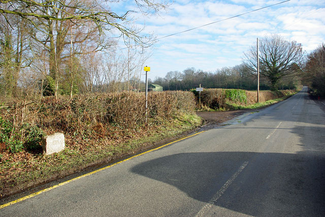
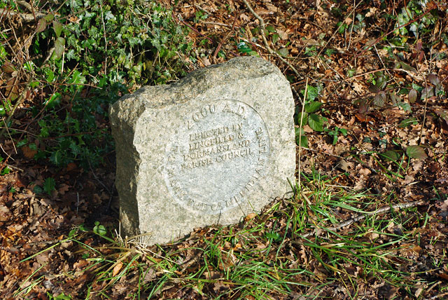
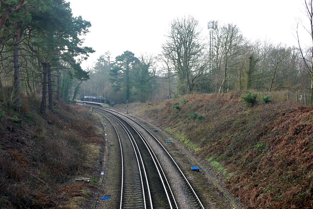
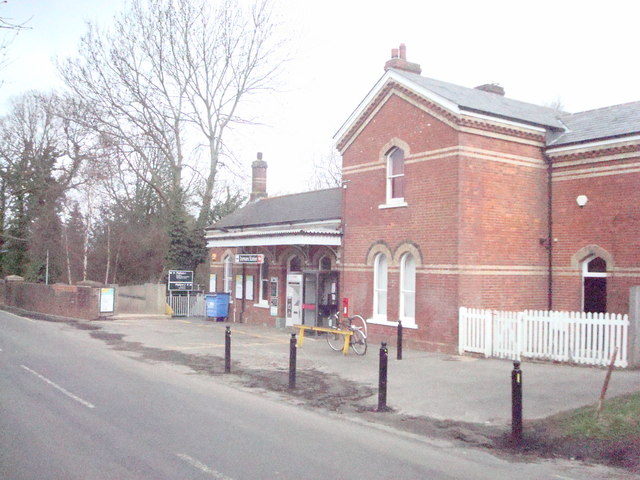
Walk Wood Images
Images are sourced within 2km of 51.147225/0.013208939 or Grid Reference TQ4040. Thanks to Geograph Open Source API. All images are credited.


Walk Wood is located at Grid Ref: TQ4040 (Lat: 51.147225, Lng: 0.013208939)
Administrative County: Surrey
District: Tandridge
Police Authority: Surrey
What 3 Words
///chop.birds.spot. Near Dormansland, Surrey
Nearby Locations
Related Wikis

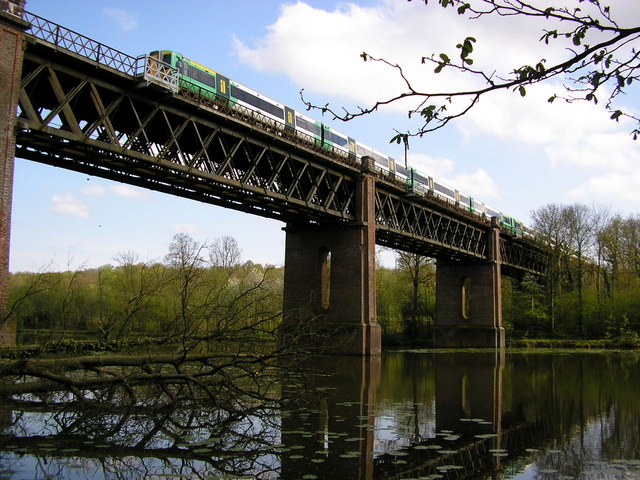
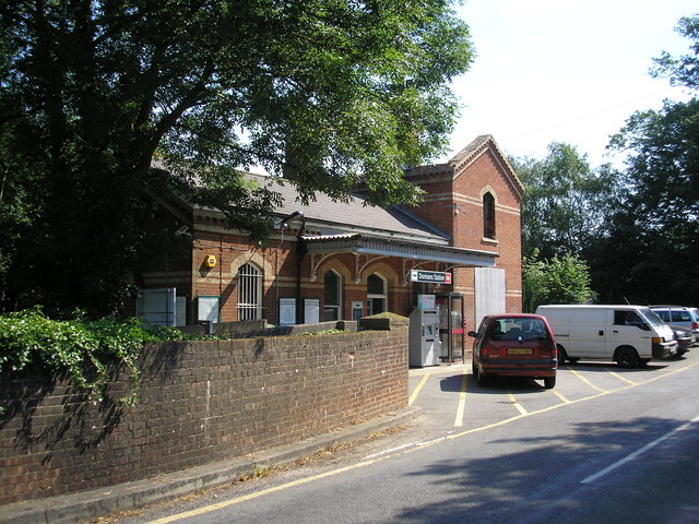
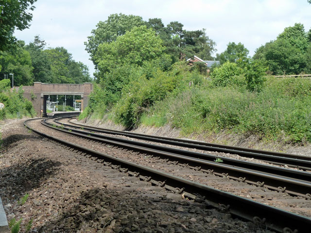
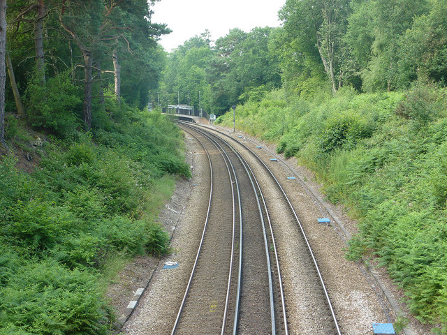
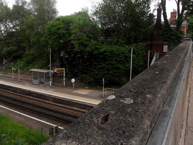
Dormans railway station
Dormans railway station is on the East Grinstead branch of the Oxted line in southern England and serves Dormansland and Dormans Park in Surrey. It is...

Queen Victoria Hospital
The Queen Victoria Hospital (QVH), located in East Grinstead, West Sussex, England is the specialist reconstructive surgery centre for the south east of...

Greathed Manor
Greathed Manor, Dormansland, Surrey, is a Victorian country house. Designed by the architect Robert Kerr in 1862–8, it is a Grade II listed building....

East Grinstead Meridian (electoral division)
East Grinstead Meridian is an electoral division of West Sussex in the United Kingdom, and returns one member to sit on West Sussex County Council. �...

East Grinstead Town F.C.
East Grinstead Town Football Club is a football club based in East Grinstead, West Sussex, England. They are currently members of the Isthmian League South...

Dormansland, Surrey
Dormansland is a large village and civil parish with a low population approximately one mile south of Lingfield in Surrey, England. It was founded in the...

East Grinstead
East Grinstead is a town in West Sussex, England, near the East Sussex, Surrey, and Kent borders, 27 miles (43 km) south of London, 21 miles (34 km) northeast...
Bush Davies School of Theatre Arts
Bush Davies School of Theatre Arts was a dance and performing arts school in the United Kingdom. Founded by the dance teacher Pauline Bush in Nottingham...
Nearby Amenities
Located within 500m of 51.147225,0.013208939Have you been to Walk Wood?
Leave your review of Walk Wood below (or comments, questions and feedback).