Furze Field
Wood, Forest in Surrey Tandridge
England
Furze Field
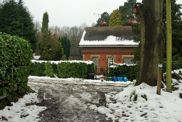
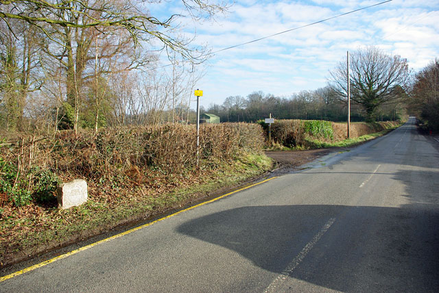
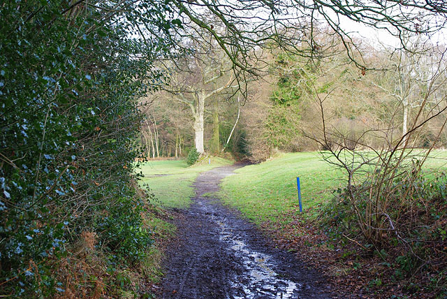
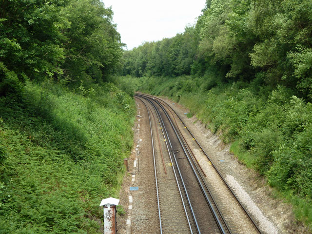
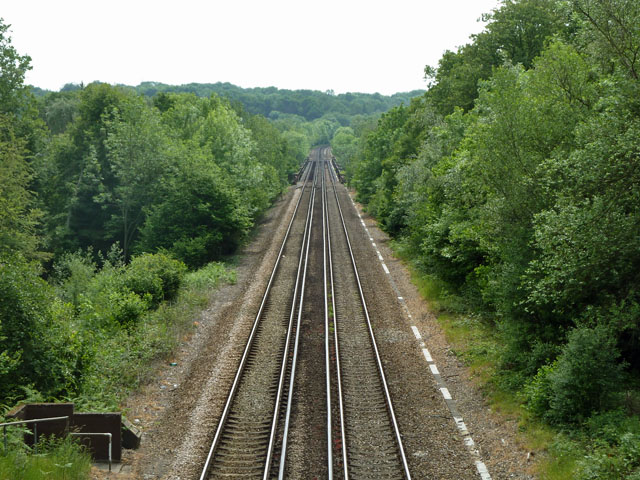
Furze Field is a picturesque woodland located in Surrey, England. Covering an area of approximately 50 acres, it is a significant natural habitat for various plant and animal species. The woodland is characterized by its dense canopy of trees, predominantly oak and birch, creating a serene and tranquil atmosphere.
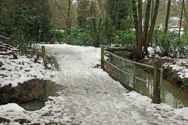
The forest floor is covered in a thick layer of leaf litter and moss, providing a rich ecosystem for numerous small mammals, such as voles, shrews, and squirrels. Additionally, the woodland is home to a diverse range of bird species, including woodpeckers, owls, and various songbirds, making it a haven for birdwatching enthusiasts.
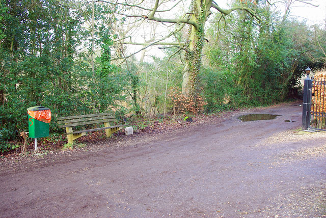
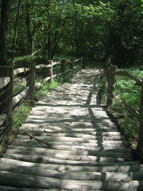
Furze Field boasts a network of well-maintained footpaths, allowing visitors to explore the woodland and enjoy the natural beauty it has to offer. The paths wind their way through the trees, leading to open clearings and secluded spots, perfect for picnicking or simply immersing oneself in nature.
The wildlife in Furze Field is abundant and easily observable due to the careful preservation and conservation efforts undertaken by local authorities. The woodland is carefully managed to maintain its ecological balance, ensuring the survival of its diverse flora and fauna.
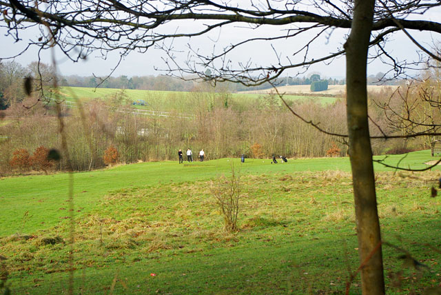
Furze Field provides a valuable recreational space for local residents and visitors alike, offering opportunities for walking, jogging, and nature appreciation. Its proximity to urban areas makes it easily accessible, attracting nature enthusiasts seeking solace from the hustle and bustle of daily life.
Overall, Furze Field is a captivating woodland that serves as a vital natural habitat, offering a peaceful retreat for both wildlife and humans alike.
If you have any feedback on the listing, please let us know in the comments section below.
Furze Field Images
Images are sourced within 2km of 51.144984/0.004432989 or Grid Reference TQ4040. Thanks to Geograph Open Source API. All images are credited.
Furze Field is located at Grid Ref: TQ4040 (Lat: 51.144984, Lng: 0.004432989)
Administrative County: Surrey
District: Tandridge
Police Authority: Surrey
What 3 Words
///dared.spoon.dive. Near Dormansland, Surrey
Nearby Locations
Related Wikis

Queen Victoria Hospital
The Queen Victoria Hospital (QVH), located in East Grinstead, West Sussex, England is the specialist reconstructive surgery centre for the south east of...

East Grinstead Meridian (electoral division)
East Grinstead Meridian is an electoral division of West Sussex in the United Kingdom, and returns one member to sit on West Sussex County Council. �...

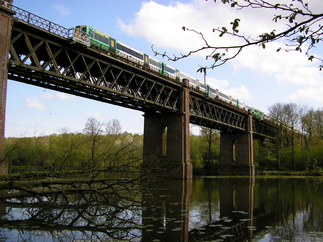
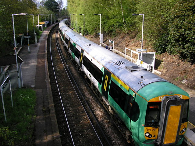
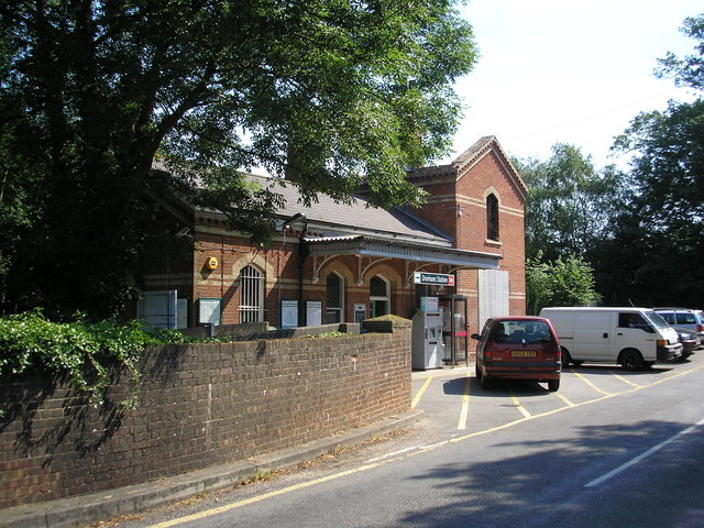
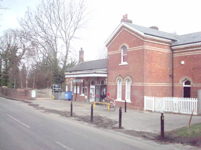
Dormans railway station
Dormans railway station is on the East Grinstead branch of the Oxted line in southern England and serves Dormansland and Dormans Park in Surrey. It is...

East Grinstead Town F.C.
East Grinstead Town Football Club is a football club based in East Grinstead, West Sussex, England. They are currently members of the Isthmian League South...
Bush Davies School of Theatre Arts
Bush Davies School of Theatre Arts was a dance and performing arts school in the United Kingdom. Founded by the dance teacher Pauline Bush in Nottingham...

East Grinstead
East Grinstead is a town in West Sussex, England, near the East Sussex, Surrey, and Kent borders, 27 miles (43 km) south of London, 21 miles (34 km) northeast...
107 Meridian FM
107 Meridian FM is a community radio station broadcasting to the West Sussex town of East Grinstead and its surrounding area. == History == The station...

Thedden Grange
Thedden Grange is a privately owned country house and estate in the civil parish of Bentworth, on the outskirts of Alton, Hampshire, England. Since renovation...
Nearby Amenities
Located within 500m of 51.144984,0.004432989Have you been to Furze Field?
Leave your review of Furze Field below (or comments, questions and feedback).