Billeshurst Wood

Wood, Forest in Surrey Tandridge

England

Billeshurst Wood

Grain Yard, Barrow Green Farm, near Lingfield, Surrey This should be the last 'first geograph' for the TQ44 hectad, of which I have contributed some 48.
Grain Yard, Barrow Green Farm, near Lingfield, Surrey Credit: Dr Neil Clifton

Billeshurst Wood is a captivating woodland located in Surrey, England. Situated near the village of Billeshurst, this enchanting forest covers an area of approximately 100 acres. The wood is a rich blend of diverse tree species, including oak, beech, and ash, creating a stunning tapestry of colors throughout the seasons.

One of the notable features of Billeshurst Wood is its tranquil atmosphere, making it a popular spot for nature lovers and hikers seeking a peaceful escape. The wood is crisscrossed with well-maintained footpaths, allowing visitors to explore its natural wonders at their own pace. As they wander through the forest, visitors may encounter an array of wildlife, including deer, squirrels, and various species of birds.

In spring, Billeshurst Wood is transformed into a breathtaking scene as bluebells carpet the forest floor, creating a sea of vibrant blue. Many visitors flock to the wood during this time to witness this natural spectacle. During the summer months, the shade provided by the towering canopy of trees offers a cool respite from the heat, while in autumn, the forest becomes a symphony of golden hues as the leaves change color.

Billeshurst Wood is managed by the local council, ensuring its preservation and protection for generations to come. The wood offers a range of amenities, including picnic areas, benches, and information boards that provide interesting facts about the woodland's history and biodiversity.

Overall, Billeshurst Wood provides a serene and picturesque setting for nature enthusiasts to immerse themselves in the beauty of Surrey's natural landscape.

If you have any feedback on the listing, please let us know in the comments section below.

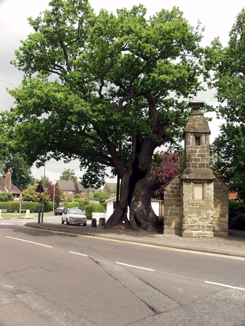
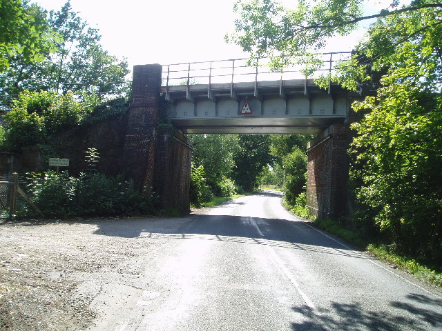
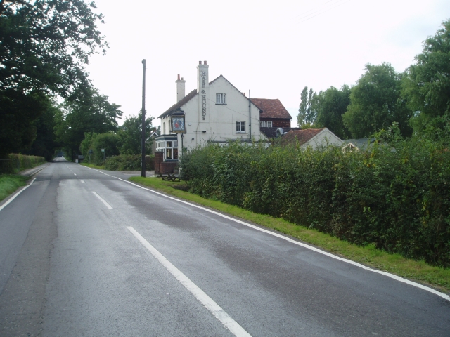
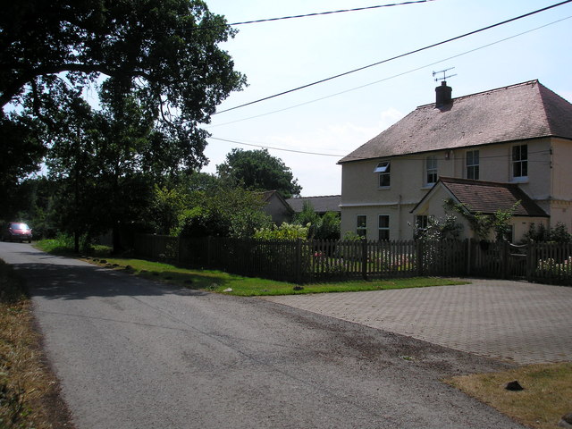
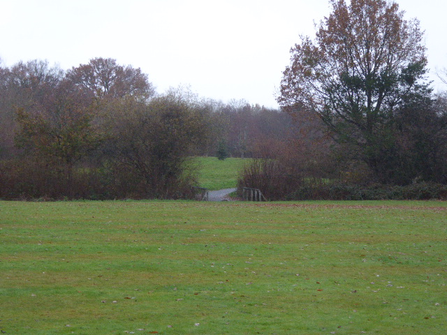
Billeshurst Wood Images

Images are sourced within 2km of 51.180472/0.005929079 or Grid Reference TQ4044. Thanks to Geograph Open Source API. All images are credited.

Grain Yard, Barrow Green Farm, near Lingfield, Surrey This should be the last 'first geograph' for the TQ44 hectad, of which I have contributed some 48.
Grain Yard, Barrow Green Farm, near Lingfield, Surrey
This should be the last 'first geograph' for the TQ44 hectad, of which I have contributed some 48.
Lingfield Old Gaol The old gaol sits in the centre of the village, next to an incredible 'split oak' tree.
Lingfield Old Gaol
The old gaol sits in the centre of the village, next to an incredible 'split oak' tree.
Railway bridge near Lingfield Just before you reach Lingfield from London.
Railway bridge near Lingfield
Just before you reach Lingfield from London.
Hare and Hounds - Lingfield Common Road
Town Hill Lingfield View of Town Hill, Lingfield - leaving the village and heading down towards Lingfield Race course
Town Hill Lingfield
View of Town Hill, Lingfield - leaving the village and heading down towards Lingfield Race course
Withycroft House, Bowerland Lane, near Lingfield, Surrey The house is on a minor lane just west of the East Grinstead railway line
Withycroft House, Bowerland Lane, near Lingfield, Surrey
The house is on a minor lane just west of the East Grinstead railway line
Second fairway, Lingfield Park Golf Club 505 yards, par 5, but it does not look too fearsome and I would imagine most decent golfers would hope to birdie this one.
Second fairway, Lingfield Park Golf Club
505 yards, par 5, but it does not look too fearsome and I would imagine most decent golfers would hope to birdie this one.
Lingfield Park Racecourse
Lingfield fire station Lingfield fire station, Saxby's Lane, Lingfield, Surrey
Lingfield fire station
Lingfield fire station, Saxby's Lane, Lingfield, Surrey
Oast House, New Place Farm, Station Road, Lingfield, Surrey Single round kiln oast house.
Oast House, New Place Farm, Station Road, Lingfield, Surrey
Single round kiln oast house.
Church House on Church Road The church is up the close on the left.
Church House on Church Road
The church is up the close on the left.
Staggered crossroads Crowhurst Road to right and left, Lingfield Common Road becomes Haxted Road straight on. Originally a normal crossroads, the road on the left was realigned some time ago.
Staggered crossroads
Crowhurst Road to right and left, Lingfield Common Road becomes Haxted Road straight on. Originally a normal crossroads, the road on the left was realigned some time ago.
Railway bridge over Bowerland Lane The declared headroom is 13' 0" - the rest of the world except America need calculators to work out what that is!
Railway bridge over Bowerland Lane
The declared headroom is 13' 0" - the rest of the world except America need calculators to work out what that is!
Field and wood Old Furzefield Wood is on the left.
Field and wood
Old Furzefield Wood is on the left.
Orchard Court Residential home "Improving the lives of older people".
Orchard Court
Residential home "Improving the lives of older people".
Old drive to Park Farm This drive is now only a footpath, as the railway level crossing behind the viewpoint has been reduced to footpath only.
Old drive to Park Farm
This drive is now only a footpath, as the railway level crossing behind the viewpoint has been reduced to footpath only.
Lingfield Station A station well-used by commuters. The station car park was full, and the street was lined with cars for some distance.
Lingfield Station
A station well-used by commuters. The station car park was full, and the street was lined with cars for some distance.
New Place, Station Road, Lingfield Viewed from the station approach. A public footpath passes beside it, connecting the station on the edge of town to more central parts of Lingfield.
New Place, Station Road, Lingfield
Viewed from the station approach. A public footpath passes beside it, connecting the station on the edge of town to more central parts of Lingfield.
Show me another place!

Billeshurst Wood is located at Grid Ref: TQ4044 (Lat: 51.180472, Lng: 0.005929079)

Administrative County: Surrey

District: Tandridge

Police Authority: Surrey

What 3 Words

///lion.hiking.hill. Near Lingfield, Surrey

Related Wikis

Lingfield railway station

Lingfield railway station is on the East Grinstead branch of the Oxted line in southern England and serves Lingfield in Surrey. It is 26 miles 23 chains...

Lingfield College

Lingfield College is a private day school situated in Lingfield in the English county of Surrey, for pupils aged six months to eighteen years old. It was...

Lingfield Park Racecourse

Lingfield Park Racecourse (commonly referred to as Lingfield) is a horse racing course at Lingfield in Surrey, United Kingdom. It is owned by the ARC Racing...

Centenary Fields

Centenary Fields is a 4.2-hectare (10-acre) Local Nature Reserve in Lingfield in Surrey. It is owned by Lingfield Parish Council and managed by Lingfield...

Lingfield Wildlife Area

Lingfield Wildlife Area is a 6.3-hectare (16-acre) Local Nature Reserve in Lingfield in Surrey. It is owned by Tandridge District Council and managed...

Dormansland, Surrey

Dormansland is a large village and civil parish with a low population approximately one mile south of Lingfield in Surrey, England. It was founded in the...

Lingfield, Surrey

Lingfield is a village and civil parish in the Tandridge district of Surrey, England, approximately 23 miles (37 km) south of London. Several buildings...

Haxted Watermill

Haxted Watermill is a much-restored Grade II listed watermill in Surrey, England, close to the border with Kent, and is powered by the River Eden. ��2...

Have you been to Billeshurst Wood?

Leave your review of Billeshurst Wood below (or comments, questions and feedback).