Burnt House Wood

Wood, Forest in Sussex Wealden
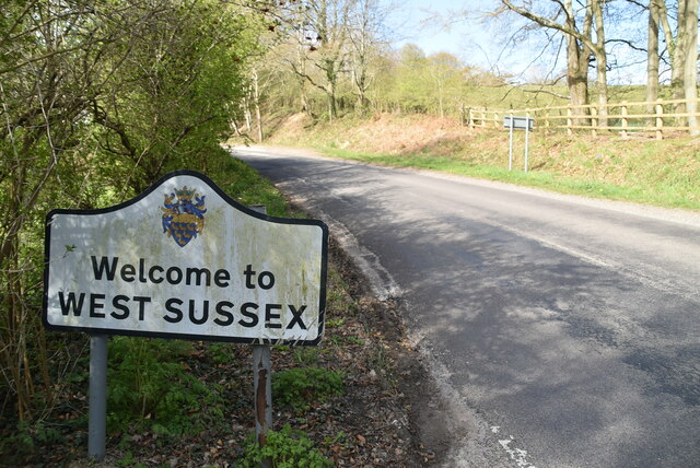
England

Burnt House Wood

Valley Farm
Valley Farm Credit: N Chadwick

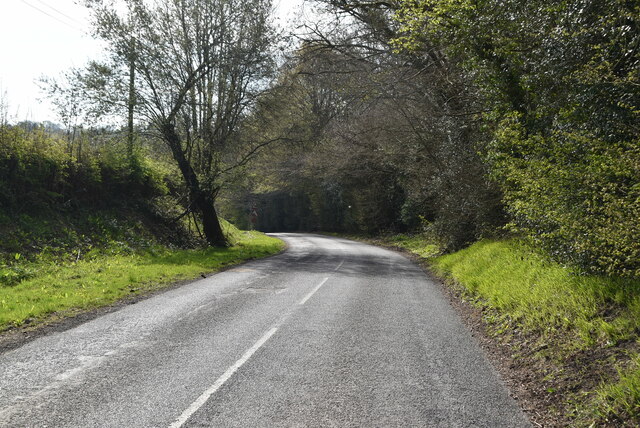
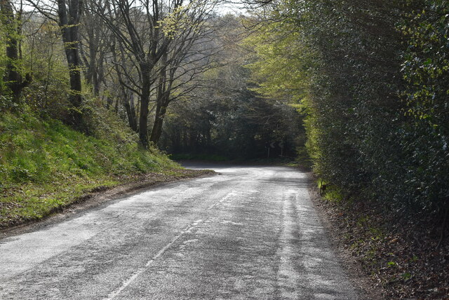
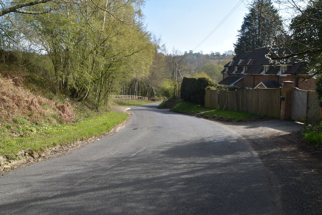
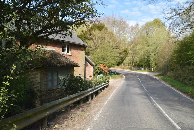
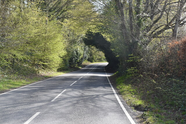
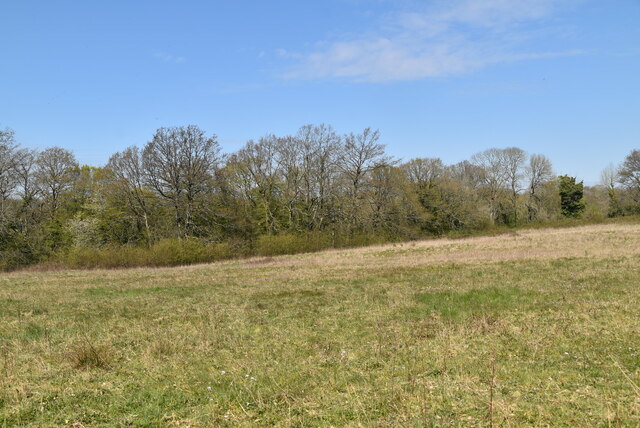
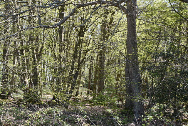
Burnt House Wood is a picturesque woodland located in Sussex, England. Covering an area of approximately 50 acres, this enchanting forest is renowned for its natural beauty and rich biodiversity. The name "Burnt House" is derived from a historical event, where a nearby house was tragically destroyed by fire.

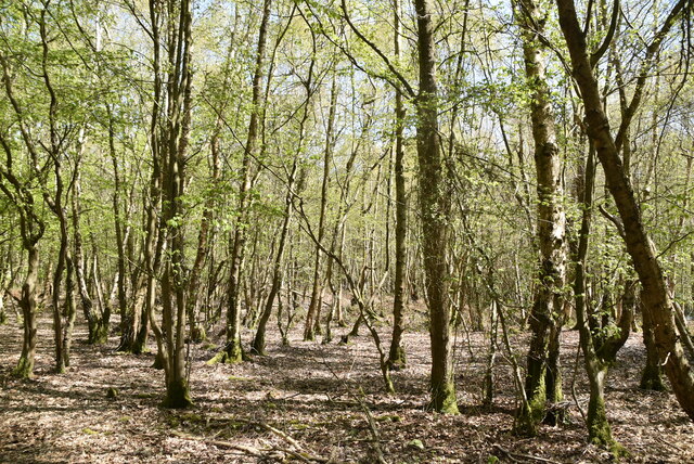
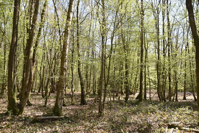
The woodland is predominantly composed of broadleaf trees, including oak, beech, and ash, which create a dense canopy that filters sunlight, creating a tranquil and shaded environment. The forest floor is adorned with a vibrant carpet of bluebells and wildflowers during the spring, offering a stunning display of colors.

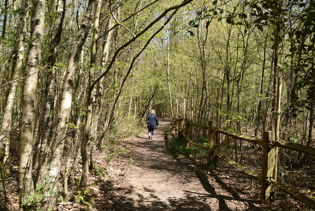
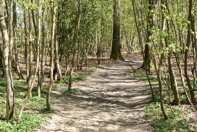
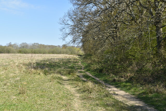
The wood is intersected by several winding footpaths, enabling visitors to explore its hidden corners and discover its hidden treasures. Along these paths, one may come across ancient moss-covered stone walls, remnants of the area's past as an agricultural landscape.

Burnt House Wood is a haven for wildlife, providing a sanctuary for various species. Bird enthusiasts can spot a wide range of avian species, including woodpeckers, nuthatches, and tawny owls. Squirrels scurry through the branches, while deer cautiously graze in the distance.

The woodland also features a small pond, which attracts a plethora of amphibians and insects. Dragonflies dance above the water's surface, and frogs croak their melodic chorus during the warmer months.

Whether it's a leisurely walk, birdwatching, or simply immersing oneself in nature's serenity, Burnt House Wood offers a truly captivating experience, making it a cherished destination for nature lovers and adventurers alike.

If you have any feedback on the listing, please let us know in the comments section below.

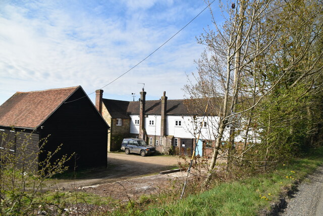
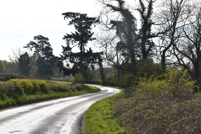
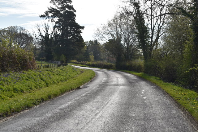
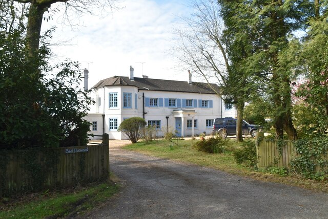
Burnt House Wood Images

Images are sourced within 2km of 51.029906/0.008106584 or Grid Reference TQ4027. Thanks to Geograph Open Source API. All images are credited.

Valley Farm
Valley Farm
Danehill Lane
Danehill Lane
Danehill Lane
Danehill Lane
Swithewood
Swithewood
Danehill Lane
Danehill Lane
Danehill Lane
Danehill Lane
Danehill Lane
Danehill Lane
Welcome to West Sussex
Horsted Lane
Horsted Lane
Horsted Lane
Horsted Lane
Sussex Border Path, Northland Wood The Sussex Border Path is a footpath route nearly 150 miles long around the inland boundary of the county of Sussex. The county owes its origins to the kingdom of the South Saxons and can claim to have one of the longest inland county boundaries from Emsworth to Rye. The route was devised in 1983 and is well signed along most of the route. Website <span class="nowrap"><a title="http://www.sussexborderpath.co.uk/" rel="nofollow ugc noopener" href="http://www.sussexborderpath.co.uk/">Link</a><img style="margin-left:2px;" alt="External link" title="External link - shift click to open in new window" src="https://s1.geograph.org.uk/img/external.png" width="10" height="10"/></span> 
Map: <a title="https://www.geograph.org.uk/search.php?i=40140109&page=1&displayclass=map#i=40140109&page=1&displayclass=map&zoom=2&lat=51.03263&lon=-0.05427&layers=FTTB00000000000T" href="https://www.geograph.org.uk/search.php?i=40140109&page=1&displayclass=map#i=40140109&page=1&displayclass=map&zoom=2&lat=51.03263&lon=-0.05427&layers=FTTB00000000000T">Link</a>
Sussex Border Path, Northland Wood
The Sussex Border Path is a footpath route nearly 150 miles long around the inland boundary of the county of Sussex. The county owes its origins to the kingdom of the South Saxons and can claim to have one of the longest inland county boundaries from Emsworth to Rye. The route was devised in 1983 and is well signed along most of the route. Website LinkExternal link Map: Link
Northland Wood
Northland Wood
Sussex Border Path, Northland Wood The Sussex Border Path is a footpath route nearly 150 miles long around the inland boundary of the county of Sussex. The county owes its origins to the kingdom of the South Saxons and can claim to have one of the longest inland county boundaries from Emsworth to Rye. The route was devised in 1983 and is well signed along most of the route. Website <span class="nowrap"><a title="http://www.sussexborderpath.co.uk/" rel="nofollow ugc noopener" href="http://www.sussexborderpath.co.uk/">Link</a><img style="margin-left:2px;" alt="External link" title="External link - shift click to open in new window" src="https://s1.geograph.org.uk/img/external.png" width="10" height="10"/></span> 
Map: <a title="https://www.geograph.org.uk/search.php?i=40140109&page=1&displayclass=map#i=40140109&page=1&displayclass=map&zoom=2&lat=51.03263&lon=-0.05427&layers=FTTB00000000000T" href="https://www.geograph.org.uk/search.php?i=40140109&page=1&displayclass=map#i=40140109&page=1&displayclass=map&zoom=2&lat=51.03263&lon=-0.05427&layers=FTTB00000000000T">Link</a>
Sussex Border Path, Northland Wood
The Sussex Border Path is a footpath route nearly 150 miles long around the inland boundary of the county of Sussex. The county owes its origins to the kingdom of the South Saxons and can claim to have one of the longest inland county boundaries from Emsworth to Rye. The route was devised in 1983 and is well signed along most of the route. Website LinkExternal link Map: Link
Field by Sussex Border Path
Sussex Border Path The Sussex Border Path is a footpath route nearly 150 miles long around the inland boundary of the county of Sussex. The county owes its origins to the kingdom of the South Saxons and can claim to have one of the longest inland county boundaries from Emsworth to Rye. The route was devised in 1983 and is well signed along most of the route. Website <span class="nowrap"><a title="http://www.sussexborderpath.co.uk/" rel="nofollow ugc noopener" href="http://www.sussexborderpath.co.uk/">Link</a><img style="margin-left:2px;" alt="External link" title="External link - shift click to open in new window" src="https://s1.geograph.org.uk/img/external.png" width="10" height="10"/></span> 
Map: <a title="https://www.geograph.org.uk/search.php?i=40140109&page=1&displayclass=map#i=40140109&page=1&displayclass=map&zoom=2&lat=51.03263&lon=-0.05427&layers=FTTB00000000000T" href="https://www.geograph.org.uk/search.php?i=40140109&page=1&displayclass=map#i=40140109&page=1&displayclass=map&zoom=2&lat=51.03263&lon=-0.05427&layers=FTTB00000000000T">Link</a>
Sussex Border Path
The Sussex Border Path is a footpath route nearly 150 miles long around the inland boundary of the county of Sussex. The county owes its origins to the kingdom of the South Saxons and can claim to have one of the longest inland county boundaries from Emsworth to Rye. The route was devised in 1983 and is well signed along most of the route. Website LinkExternal link Map: Link
Heaven Wood
Heaven Wood
Show me another place!

Burnt House Wood is located at Grid Ref: TQ4027 (Lat: 51.029906, Lng: 0.008106584)

Administrative County: East Sussex

District: Wealden

Police Authority: Sussex

What 3 Words

///speech.pipeline.stall. Near Horsted Keynes, West Sussex

Related Wikis

Danehill, East Sussex

Danehill is a village in East Sussex, England. == Religious sites == There are two Anglican churches in the parish: one at Danehill (dedicated to All Saints...

Furner's Green

Furner's Green is a hamlet in the civil parish of Danehill in East Sussex, England. == Geography == Furner's Green lies on the Greenwich Meridian about...

Chelwood Gate

Chelwood Gate is a small village within the civil parish of Danehill in the Wealden district of East Sussex, England. Its nearest town is Uckfield, which...

Isaac Roberts' Observatory

Isaac Roberts' Observatory was an observatory, installed in the private home of the British astronomer Isaac Roberts. It was in Crowborough, Sussex, and...

Horsted Keynes

Horsted Keynes KAYNZ is a village and civil parish in the Mid Sussex District of West Sussex, England. The village is about 5 miles (8 km) north east...

Freshfield Lane

Freshfield Lane is a 17-hectare (42-acre) geological Site of Special Scientific Interest east of Haywards Heath in West Sussex. It is a Geological Conservation...

St Giles' Church, Horsted Keynes

St Giles' Church is an Anglican church in the village of Horsted Keynes in Mid Sussex, one of seven local government districts in the English county of...

Birch Grove

Birch Grove, Horsted Keynes, West Sussex, England is a country house dating from 1926. It was the family home of the British prime minister Harold Macmillan...

Nearby Amenities

Located within 500m of 51.029906,0.008106584
Barrier: stile
Lat/Long: 51.0289697/0.004172
Barrier: stile
Lat/Long: 51.0287878/0.0054622
Barrier: cycle_barrier
Lat/Long: 51.0336299/0.0100944
Power: pole
Lat/Long: 51.0307656/0.0022547
Power: pole
Lat/Long: 51.0304284/0.0034088
Power: pole
Lat/Long: 51.0301896/0.0041595
Power: pole
Lat/Long: 51.0298353/0.0053198
Power: pole
Lat/Long: 51.0295098/0.0063982
Power: pole
Lat/Long: 51.0292031/0.0074232
Power: pole
Lat/Long: 51.0287723/0.0080834
Power: pole
Lat/Long: 51.0283032/0.0087845
Power: pole
Lat/Long: 51.0277913/0.0095452
Power: pole
Lat/Long: 51.0274112/0.0102302
Power: pole
Lat/Long: 51.0275306/0.0093144
Power: pole
Lat/Long: 51.0267821/0.008612
Power: pole
Lat/Long: 51.0258275/0.0077347
The data included in this document is from www.openstreetmap.org. The data is made available under ODbL.

Have you been to Burnt House Wood?

Leave your review of Burnt House Wood below (or comments, questions and feedback).