Dane Wood

Wood, Forest in Sussex Wealden

England

Dane Wood

Valley Farm
Valley Farm Credit: N Chadwick

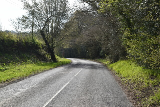
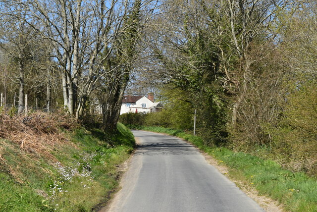
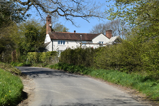
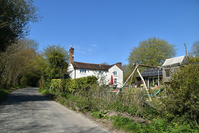
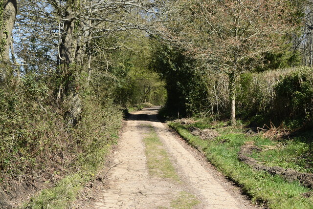
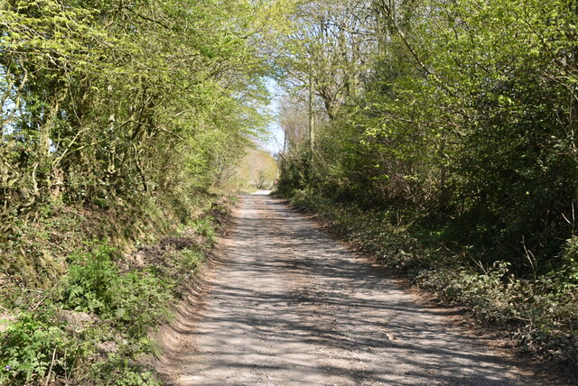
Dane Wood, Sussex, is a charming forest located in the southeastern county of Sussex, England. Covering an area of approximately 100 hectares, this woodland is a popular destination for nature enthusiasts and outdoor lovers alike. The wood is part of the larger Danehill Forest, which encompasses a significant portion of the surrounding landscape.

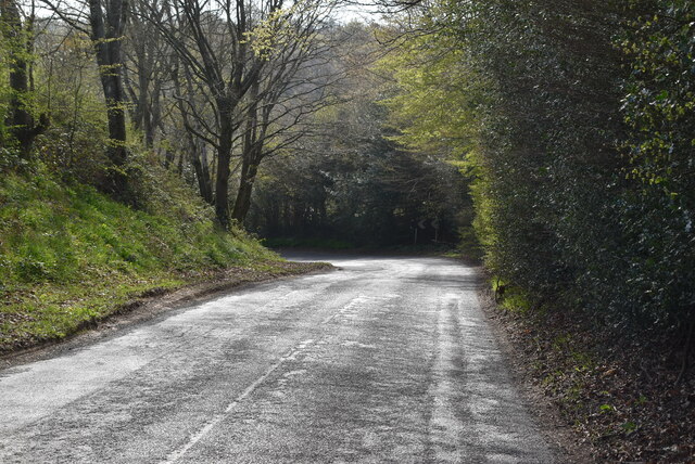
Dane Wood is known for its diverse range of tree species, including oak, birch, beech, and pine. The lush greenery and dense foliage create a picturesque setting, especially during the spring and summer months when the forest is in full bloom. Visitors can enjoy leisurely walks along the well-maintained trails, immersing themselves in the peaceful ambiance and taking in the beauty of nature.

The wood is also home to a variety of wildlife, making it an excellent spot for birdwatching and animal spotting. It is not uncommon to come across deer, rabbits, foxes, and an array of bird species, providing ample opportunities for nature photography and observation.

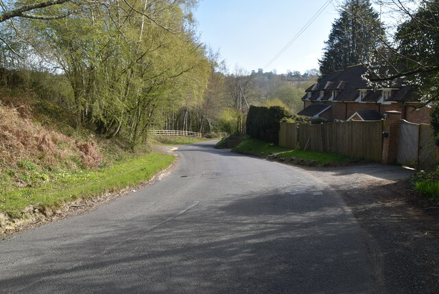
In addition to its natural beauty, Dane Wood offers several amenities for visitors to enjoy. There are picnic areas and benches scattered throughout the forest, providing perfect spots for relaxation and enjoying a packed lunch amidst the serene surroundings. The wood is also equipped with basic facilities such as parking, toilets, and information boards, ensuring a comfortable and convenient experience for visitors.

Overall, Dane Wood, Sussex, is a delightful destination for those seeking a tranquil escape in nature. Its enchanting woodland, diverse wildlife, and convenient amenities make it a must-visit location for locals and tourists alike.

If you have any feedback on the listing, please let us know in the comments section below.
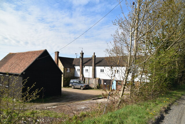
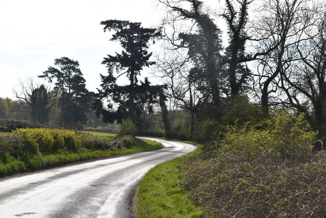
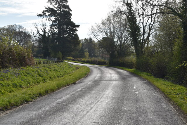
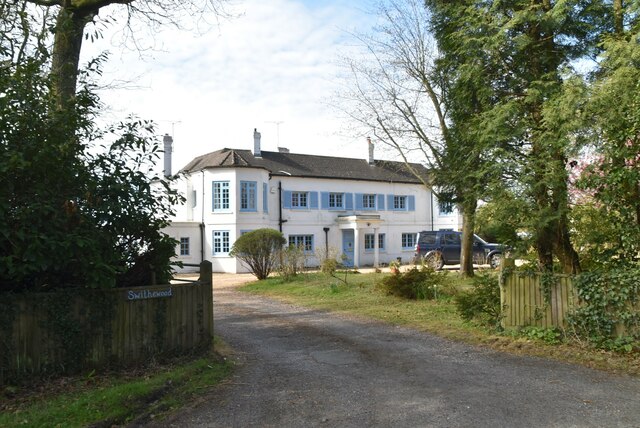
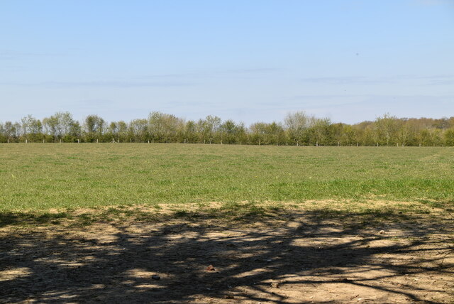
Dane Wood Images

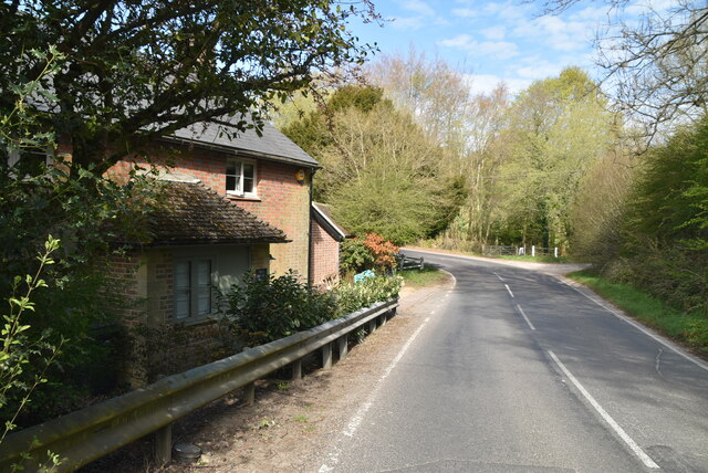
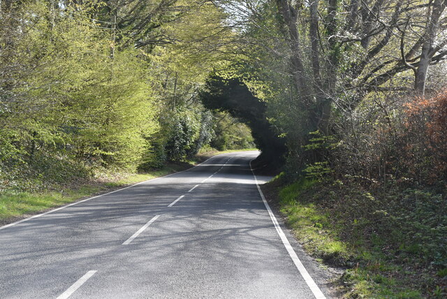
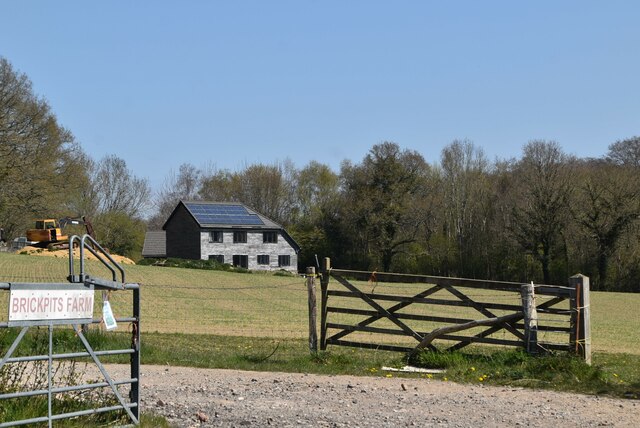
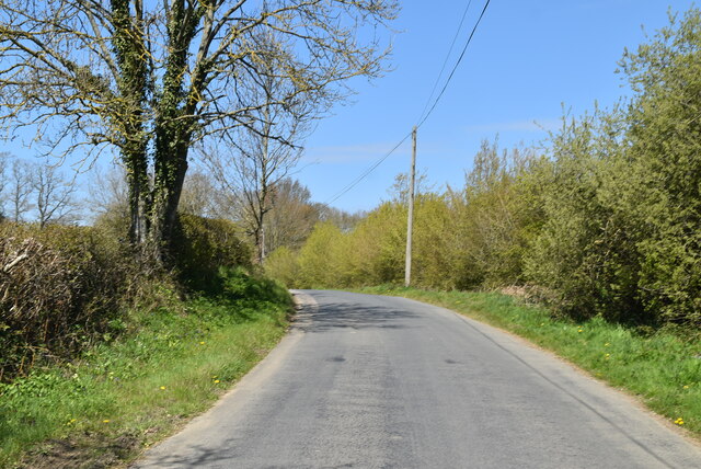
Images are sourced within 2km of 51.025291/0.004498931 or Grid Reference TQ4027. Thanks to Geograph Open Source API. All images are credited.

Valley Farm
Valley Farm
Danehill Lane
Danehill Lane
Danehill Lane
Danehill Lane
Swithewood
Swithewood
Danehill Lane
Danehill Lane
Danehill Lane
Danehill Lane
Danehill Lane
Danehill Lane
Welcome to West Sussex
Horsted Lane
Horsted Lane
Horsted Lane
Horsted Lane
Brickpits Farm
Brickpits Farm
Ketche's Lane
Ketche's Lane
Ketche's Lane
Ketche's Lane
Kingswood Cottage
Kingswood Cottage
Kingswood Cottage
Kingswood Cottage
Sussex Border Path The Sussex Border Path is a footpath route nearly 150 miles long around the inland boundary of the county of Sussex. The county owes its origins to the kingdom of the South Saxons and can claim to have one of the longest inland county boundaries from Emsworth to Rye. The route was devised in 1983 and is well signed along most of the route. Website <span class="nowrap"><a title="http://www.sussexborderpath.co.uk/" rel="nofollow ugc noopener" href="http://www.sussexborderpath.co.uk/">Link</a><img style="margin-left:2px;" alt="External link" title="External link - shift click to open in new window" src="https://s1.geograph.org.uk/img/external.png" width="10" height="10"/></span> 
Map: <a title="https://www.geograph.org.uk/search.php?i=40140109&page=1&displayclass=map#i=40140109&page=1&displayclass=map&zoom=2&lat=51.03263&lon=-0.05427&layers=FTTB00000000000T" href="https://www.geograph.org.uk/search.php?i=40140109&page=1&displayclass=map#i=40140109&page=1&displayclass=map&zoom=2&lat=51.03263&lon=-0.05427&layers=FTTB00000000000T">Link</a>
Sussex Border Path
The Sussex Border Path is a footpath route nearly 150 miles long around the inland boundary of the county of Sussex. The county owes its origins to the kingdom of the South Saxons and can claim to have one of the longest inland county boundaries from Emsworth to Rye. The route was devised in 1983 and is well signed along most of the route. Website LinkExternal link Map: Link
Farmland by Sussex Border Path
Show me another place!

Dane Wood is located at Grid Ref: TQ4027 (Lat: 51.025291, Lng: 0.004498931)

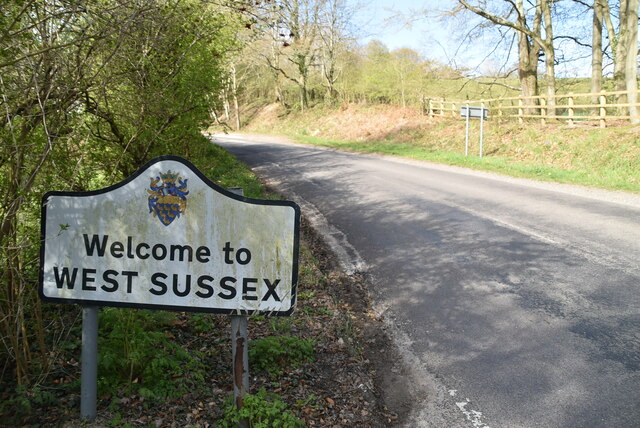
Administrative County: East Sussex

District: Wealden

Police Authority: Sussex

What 3 Words

///branched.burst.paves. Near Horsted Keynes, West Sussex

Related Wikis

Danehill, East Sussex

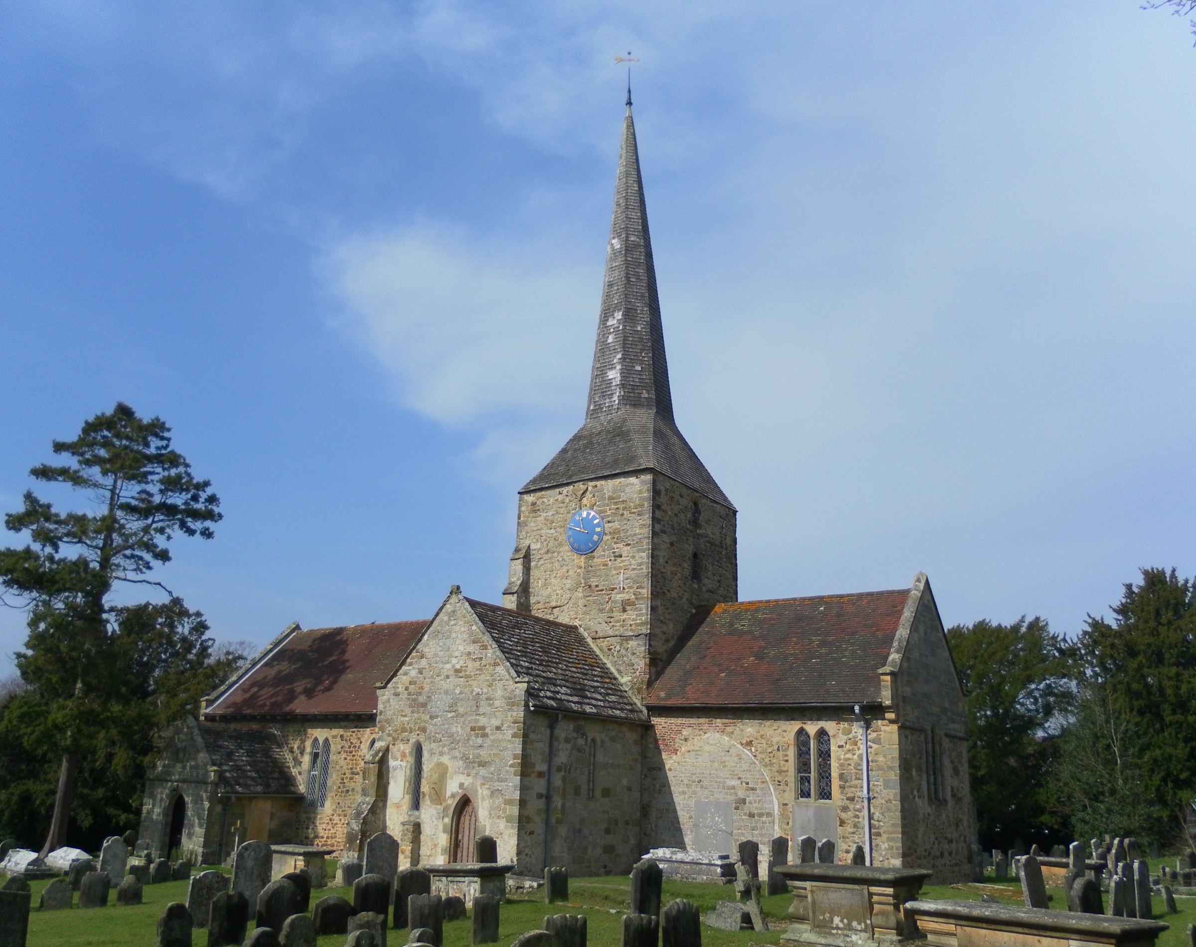
Danehill is a village in East Sussex, England. == Religious sites == There are two Anglican churches in the parish: one at Danehill (dedicated to All Saints...

Furner's Green

Furner's Green is a hamlet in the civil parish of Danehill in East Sussex, England. == Geography == Furner's Green lies on the Greenwich Meridian about...

Freshfield Lane

Freshfield Lane is a 17-hectare (42-acre) geological Site of Special Scientific Interest east of Haywards Heath in West Sussex. It is a Geological Conservation...

Horsted Keynes

Horsted Keynes KAYNZ is a village and civil parish in the Mid Sussex District of West Sussex, England. The village is about 5 miles (8 km) north east...

St Giles' Church, Horsted Keynes

St Giles' Church is an Anglican church in the village of Horsted Keynes in Mid Sussex, one of seven local government districts in the English county of...

Sussex

Sussex (; from the Old English Sūþsēaxe; lit. 'South Saxons') is a historic county in South East England that is bounded to the west by Hampshire, north...

Sussex Wildlife Trust

The Sussex Wildlife Trust (SWT) is a conservation charity which aims to protect natural life in Sussex. It was founded in 1961 and is one of 46 wildlife...
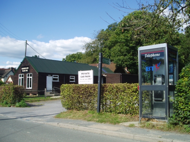
Chelwood Gate

Chelwood Gate is a small village within the civil parish of Danehill in the Wealden district of East Sussex, England. Its nearest town is Uckfield, which...

Nearby Amenities

Located within 500m of 51.025291,0.004498931
Barrier: stile
Lat/Long: 51.027363/-0.0015564
Barrier: stile
Lat/Long: 51.0221032/0.008651
Barrier: stile
Lat/Long: 51.0289697/0.004172
Barrier: stile
Lat/Long: 51.0287878/0.0054622
Barrier: stile
Lat/Long: 51.025487/-0.0026453
Power: pole
Lat/Long: 51.0295098/0.0063982
Power: pole
Lat/Long: 51.0292031/0.0074232
Power: pole
Lat/Long: 51.0287723/0.0080834
Power: pole
Lat/Long: 51.0283032/0.0087845
Power: pole
Lat/Long: 51.0277913/0.0095452
Power: pole
Lat/Long: 51.0274112/0.0102302
Power: pole
Lat/Long: 51.0275306/0.0093144
Power: pole
Lat/Long: 51.0267821/0.008612
Power: pole
Lat/Long: 51.0258275/0.0077347
Power: pole
Lat/Long: 51.0253788/0.0071638
Power: pole
Lat/Long: 51.0245709/0.0068635
Power: pole
Lat/Long: 51.023251/0.0063312
The data included in this document is from www.openstreetmap.org. The data is made available under ODbL.

Have you been to Dane Wood?

Leave your review of Dane Wood below (or comments, questions and feedback).