Harrington Plantation
Wood, Forest in Lincolnshire East Lindsey
England
Harrington Plantation

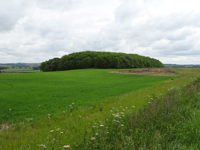
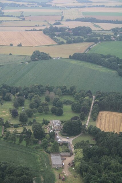
Harrington Plantation, located in Lincolnshire, England, is a picturesque woodland area known for its natural beauty and rich history. Spread over a vast expanse, the plantation encompasses a diverse range of woodlands and forested areas.
The plantation boasts an impressive array of flora and fauna, making it a haven for nature enthusiasts and wildlife lovers. Towering oak and beech trees dominate the landscape, interspersed with smaller shrubs and plants that add to the overall charm of the area. The rich biodiversity attracts a wide variety of birds, mammals, and insects, providing ample opportunities for birdwatching and wildlife spotting.
The history of Harrington Plantation dates back several centuries, with evidence of human habitation found in the form of ancient settlements and artifacts. The remains of medieval buildings and structures can still be seen, adding a sense of historical significance to the plantation.
Visitors to Harrington Plantation can enjoy a range of recreational activities, including hiking, cycling, and picnicking. Well-maintained trails crisscross the plantation, allowing visitors to explore the diverse landscape at their own pace. The peaceful atmosphere and tranquil surroundings make it an ideal destination for those seeking a break from the hustle and bustle of city life.
Harrington Plantation also plays a crucial role in the conservation of local wildlife and habitats. The plantation is managed sustainably, with efforts taken to preserve and protect the natural environment. Conservation initiatives, such as tree planting and habitat restoration, are regularly undertaken to ensure the long-term health and vitality of the plantation.
In summary, Harrington Plantation in Lincolnshire offers a captivating blend of natural beauty, historical significance, and recreational opportunities. Its diverse woodlands, abundance of wildlife, and commitment to conservation make it a must-visit destination for nature enthusiasts and history buffs alike.
If you have any feedback on the listing, please let us know in the comments section below.
Harrington Plantation Images
Images are sourced within 2km of 53.214283/0.053380473 or Grid Reference TF3770. Thanks to Geograph Open Source API. All images are credited.


Harrington Plantation is located at Grid Ref: TF3770 (Lat: 53.214283, Lng: 0.053380473)
Administrative County: Lincolnshire
District: East Lindsey
Police Authority: Lincolnshire
What 3 Words
///commuted.stream.index. Near Spilsby, Lincolnshire
Nearby Locations
Related Wikis

Aswardby
Aswardby (pronounced "as-ard-bee") is a village situated 4 miles (6 km) north-west from Spilsby, in the East Lindsey district of Lincolnshire, England...

Harrington, Lincolnshire
Harrington is a hamlet and civil parish in the East Lindsey district of Lincolnshire, England. It is situated 6 miles (10 km) south-west from Alford, and...

Sausthorpe
Sausthorpe is a small village and civil parish in the East Lindsey district of Lincolnshire, England, 8 miles (13 km) east of Horncastle and 3 miles (4...

Langton by Spilsby
Langton by Spilsby, sometimes called Langton by Partney, is a village and civil parish in the East Lindsey district of Lincolnshire, England. It is situated...

Thornbury Hill
Thornbury Hill is a hill in Hagworthingham, Lincolnshire, England.
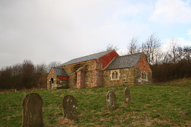
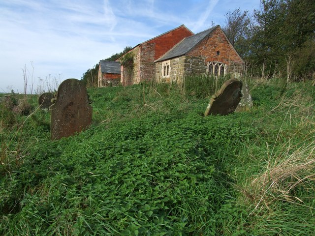
St John the Baptist's Church, Sutterby
St John the Baptist's Church is a redundant Anglican church in the village of Sutterby, Lincolnshire, England. It is recorded in the National Heritage...
Sutterby
Sutterby is a hamlet in the civil parish of Langton by Spilsby, in the East Lindsey district of Lincolnshire, England. It is situated 9 miles (14 km) south...
Bag Enderby
Bag Enderby is a village and former civil parish, now in the parish of Greetham with Somersby, in the East Lindsey district of Lincolnshire, England. It...
Nearby Amenities
Located within 500m of 53.214283,0.053380473Have you been to Harrington Plantation?
Leave your review of Harrington Plantation below (or comments, questions and feedback).