Hammer Wood
Wood, Forest in Sussex Mid Sussex
England
Hammer Wood
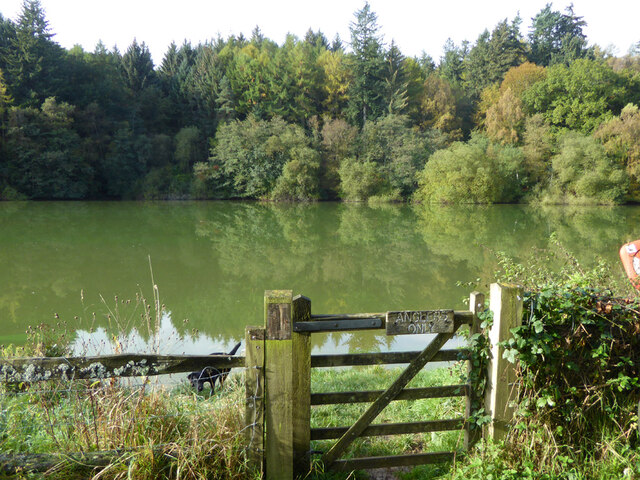
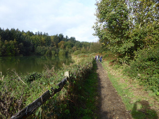
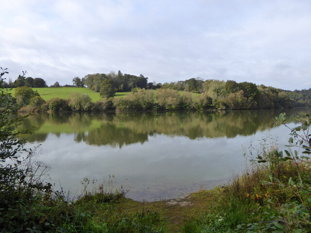
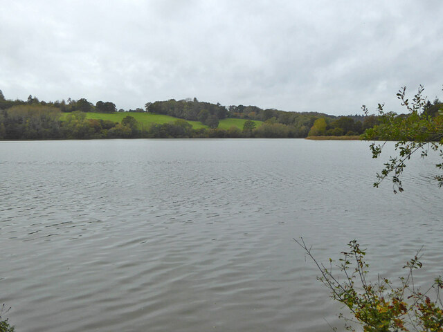
Hammer Wood, located in Sussex, England, is a charming and picturesque forest that covers an area of approximately 300 acres. Known for its natural beauty and tranquility, this wood is a popular destination for nature lovers, hikers, and photographers.
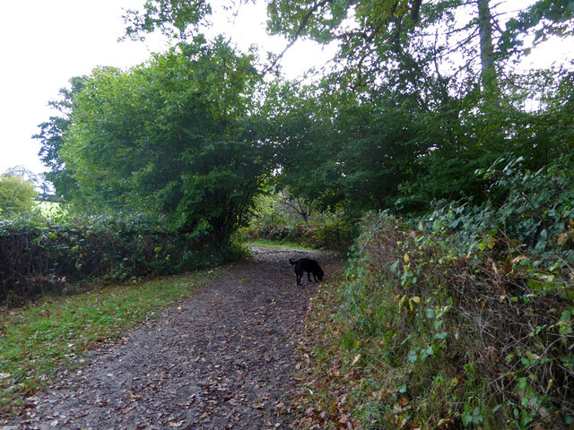
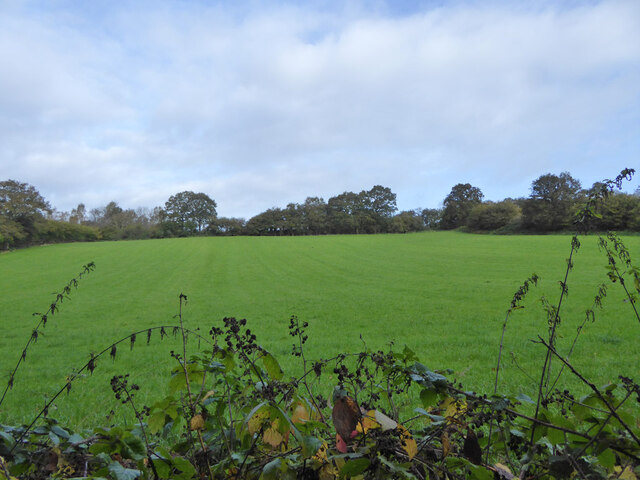
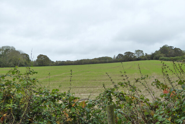
The wood boasts a diverse range of tree species, including oak, beech, and birch, which create a vibrant and colorful landscape throughout the year. In spring, the forest floor becomes a carpet of bluebells, offering a breathtaking sight to visitors. The wood is also home to various wildlife, such as deer, foxes, badgers, and a wide array of bird species, making it an ideal spot for birdwatching enthusiasts.
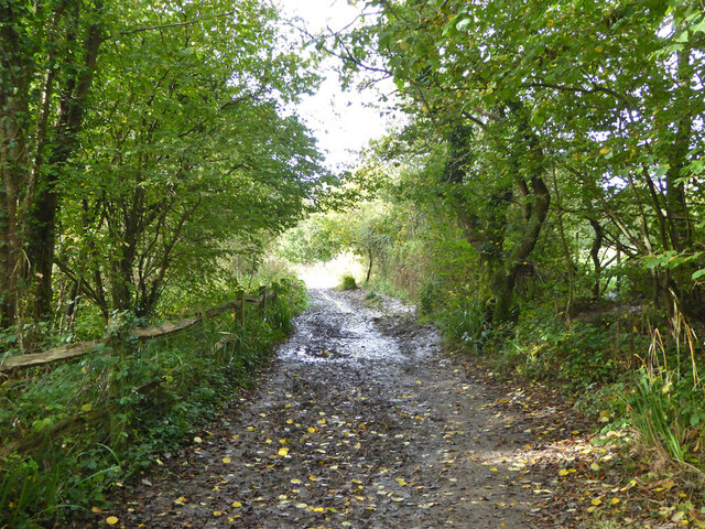
Numerous well-marked trails wind through the wood, allowing visitors to explore its enchanting corners and discover hidden gems. These paths cater to different levels of difficulty, accommodating both leisurely strolls and more challenging hikes. The wood also features several picnic areas, providing visitors with an opportunity to relax and enjoy the serene ambiance.
Hammer Wood is managed by a local conservation group that ensures the preservation of its natural habitat. They organize educational events and workshops to raise awareness about the importance of protecting the forest and its inhabitants.
Overall, Hammer Wood offers a delightful escape from the bustling city life, allowing visitors to immerse themselves in nature's wonders. Its captivating beauty and diverse ecosystem make it an exceptional destination for those seeking solace and serenity amidst the glorious Sussex countryside.
If you have any feedback on the listing, please let us know in the comments section below.
Hammer Wood Images
Images are sourced within 2km of 51.050551/-0.10418864 or Grid Reference TQ3229. Thanks to Geograph Open Source API. All images are credited.


Hammer Wood is located at Grid Ref: TQ3229 (Lat: 51.050551, Lng: -0.10418864)
Administrative County: West Sussex
District: Mid Sussex
Police Authority: Sussex
What 3 Words
///stated.lizard.leaves. Near Ardingly, West Sussex
Nearby Locations
Related Wikis
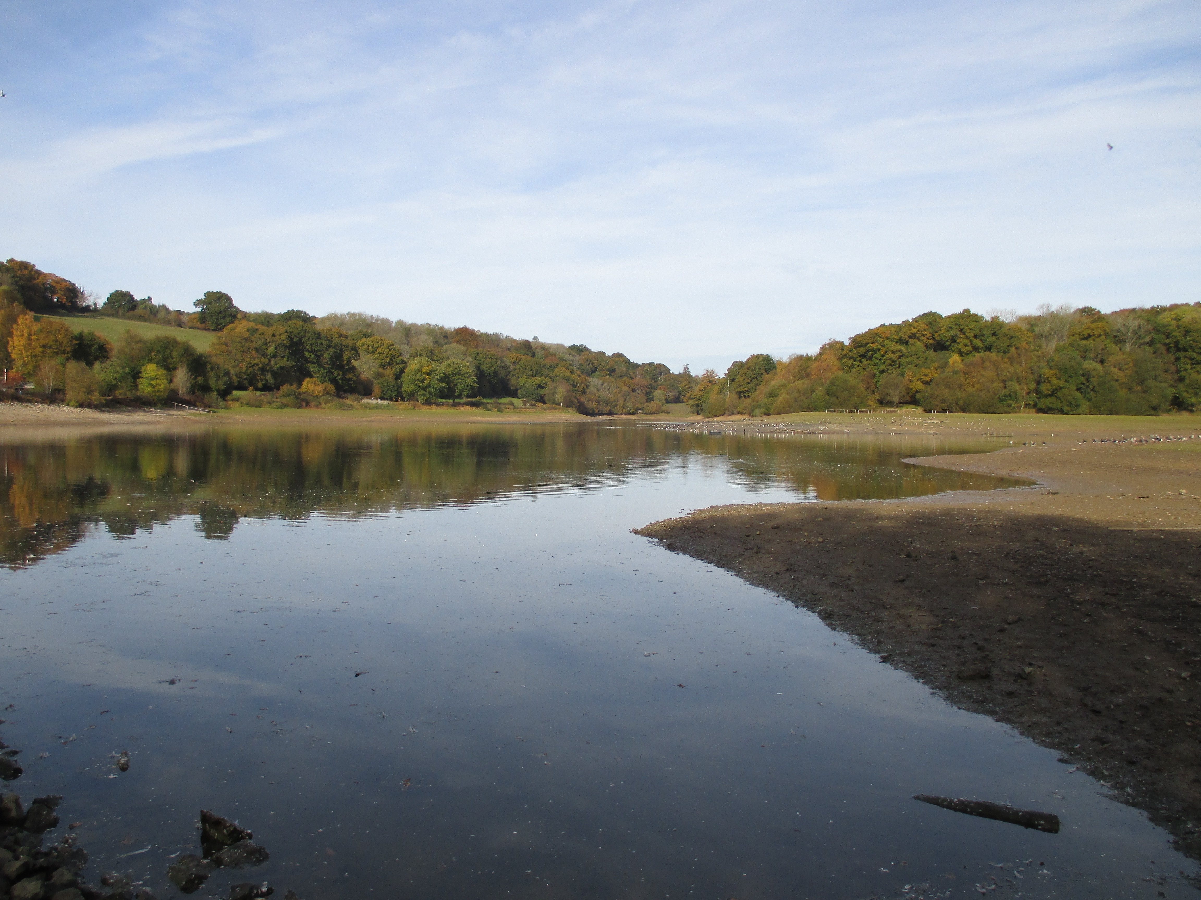
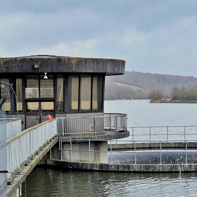
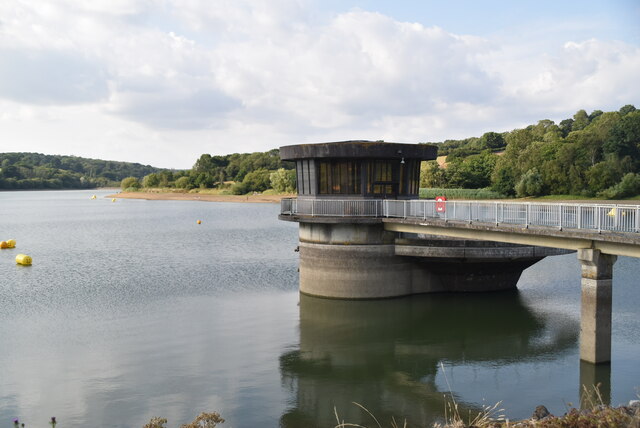
Ardingly Reservoir
Ardingly Reservoir is west of Ardingly in West Sussex. The southern end is a 74.5-hectare (184-acre) Local Nature Reserve owned and managed by South East...

St Peter's Church, Ardingly
St Peter's Church is the Church of England parish church of the parish of Ardingly in Mid Sussex, one of seven local government districts in the English...

South of England Show
The South of England Show is a county show held annually at its own showground in Ardingly, Sussex during June.The show was founded in 1967 and is organised...

Balcombe Place
Balcombe Place is a Grade II* Listed Building, built in 1856 in West Sussex, with a south view across the Ouse Valley. It now forms part of The Balcombe...
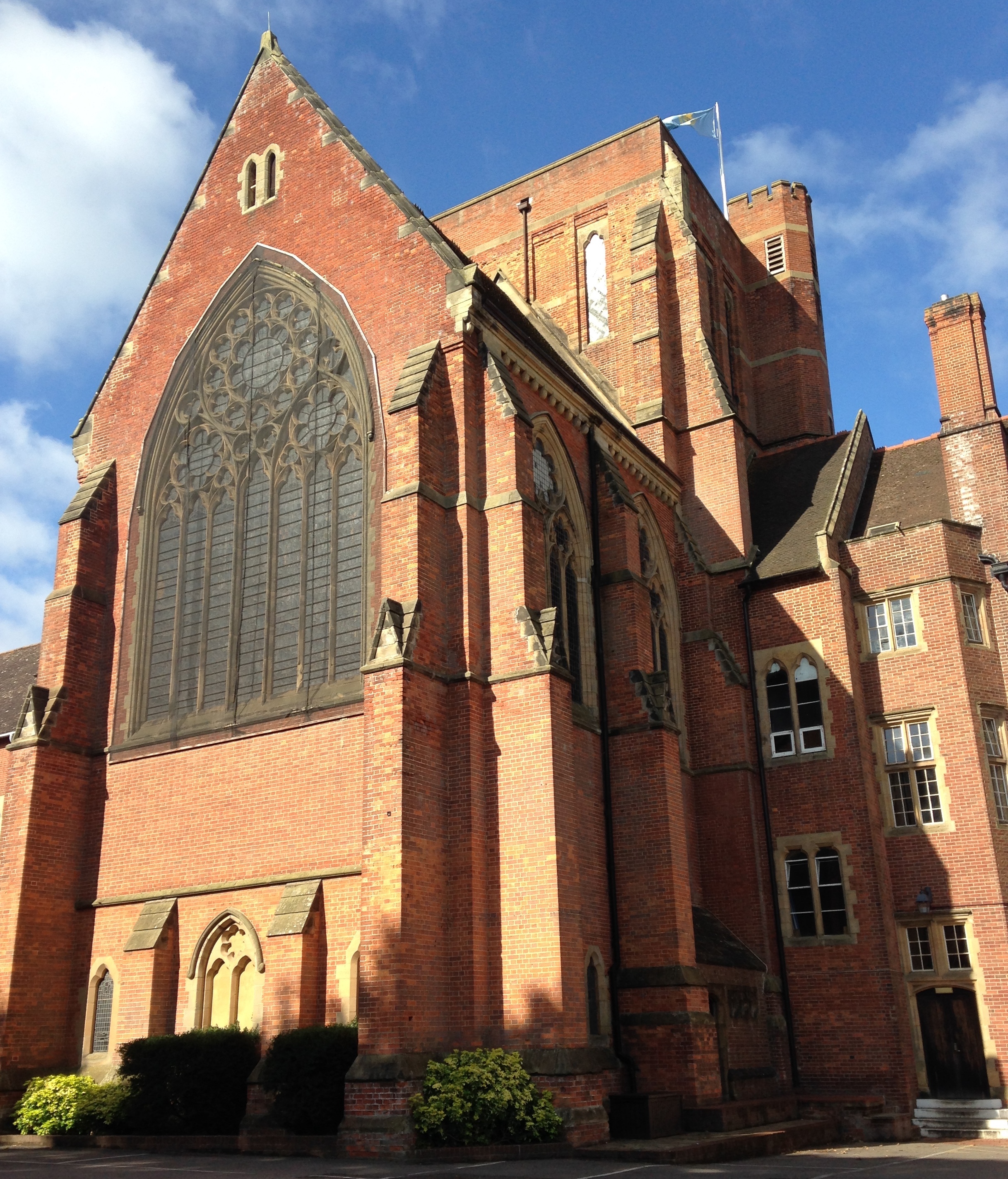
Ardingly College Chapel
The Chapel of S. Saviour is the chapel to Ardingly College in West Sussex, England, and is considered an example of Gothic Revival architecture. The chapel...

Ardingly College
Ardingly College () is a fee-charging boarding and day school in the English public school tradition located near Ardingly, West Sussex, England. The school...
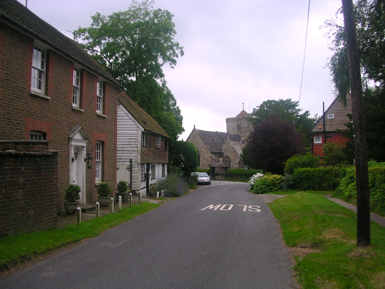
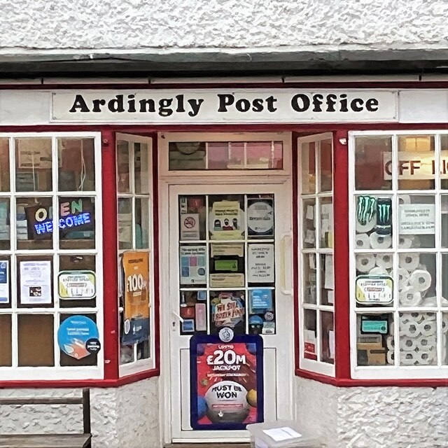
Ardingly
Ardingly ( AR-ding-lye) is an English village and civil parish in the Mid Sussex district of West Sussex, England. The village is in the High Weald Area...
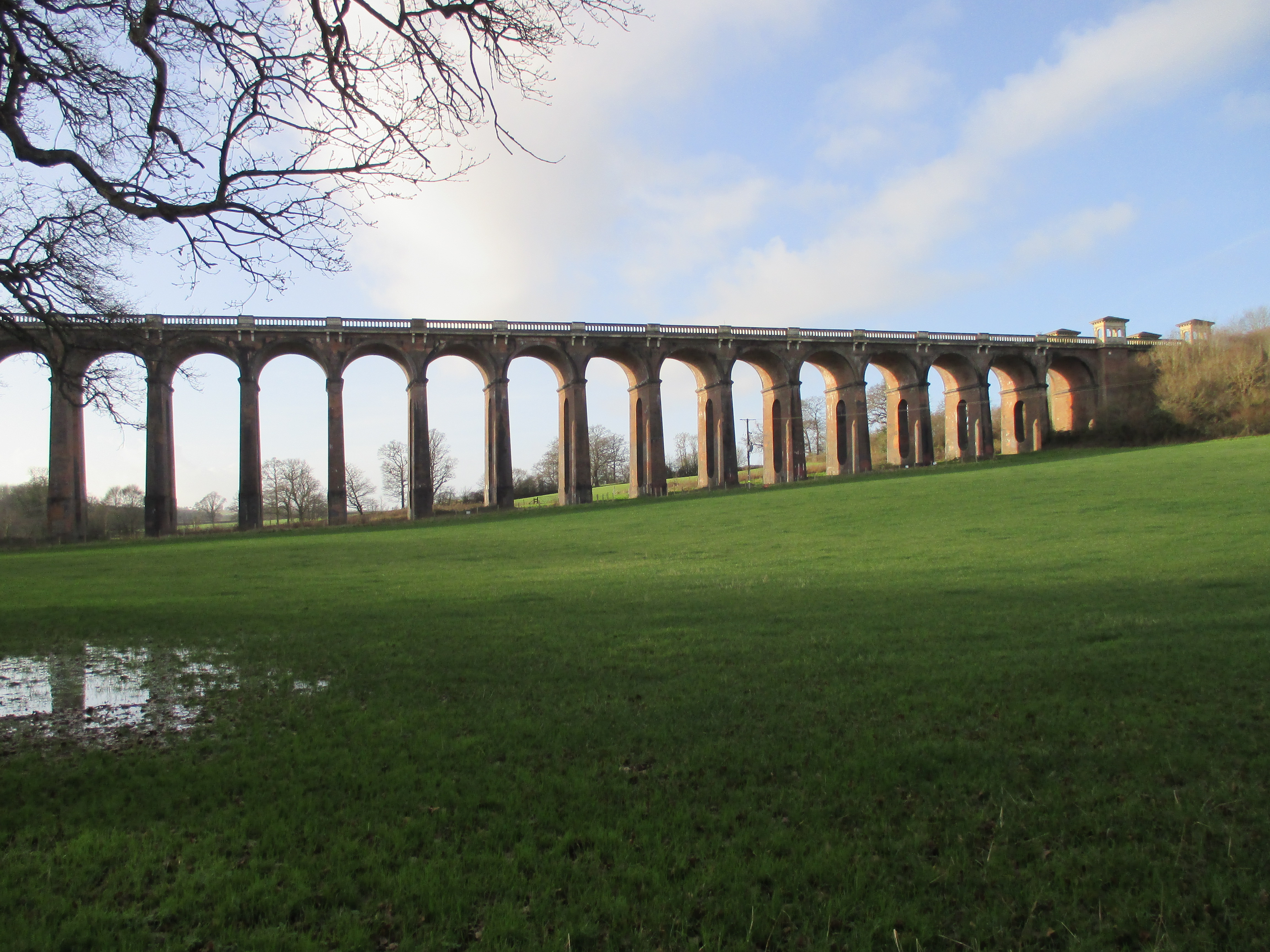
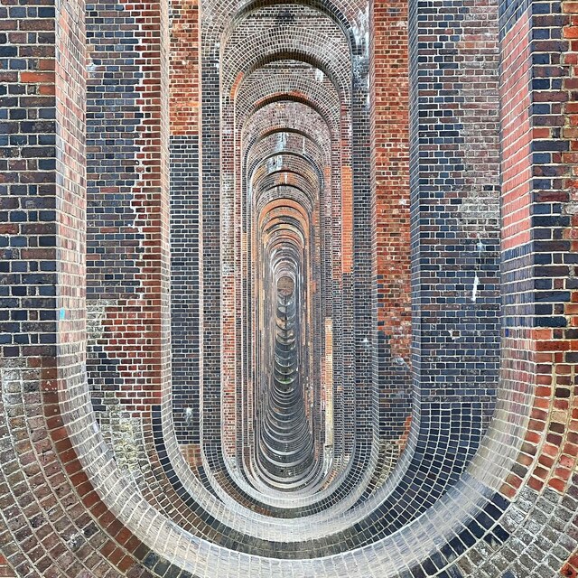
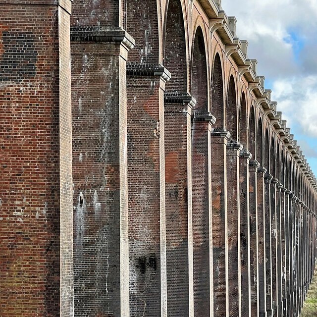
Ouse Valley Viaduct
The Ouse Valley Viaduct (or the Balcombe Viaduct) carries the London-Brighton Railway Line over the River Ouse in Sussex. It is located to the north of...
Nearby Amenities
Located within 500m of 51.050551,-0.10418864Have you been to Hammer Wood?
Leave your review of Hammer Wood below (or comments, questions and feedback).