Nettlefield Wood
Wood, Forest in Sussex Mid Sussex
England
Nettlefield Wood
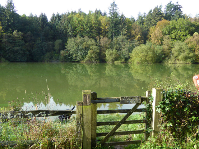
Nettlefield Wood is a picturesque woodland located in Sussex, England. Covering an area of approximately 100 acres, this enchanting forest is renowned for its natural beauty and diverse ecosystem. It is situated within the South Downs National Park, offering visitors a tranquil and idyllic setting to explore.
The wood is predominantly made up of native tree species, including oak, beech, and ash, which create a dense canopy overhead, casting dappled sunlight onto the forest floor. The rich and fertile soil nurtures a wide variety of plant life, such as bluebells, primroses, and ferns, adding vibrant colors and textures to the landscape.
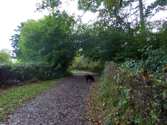
Nettlefield Wood is also home to a diverse range of wildlife. Birdwatchers can spot an array of species, including woodpeckers, thrushes, and owls. Small mammals, such as badgers, foxes, and deer, can often be seen foraging among the undergrowth. The wood also supports a myriad of insect life, including butterflies and dragonflies, making it a haven for nature enthusiasts and photographers.
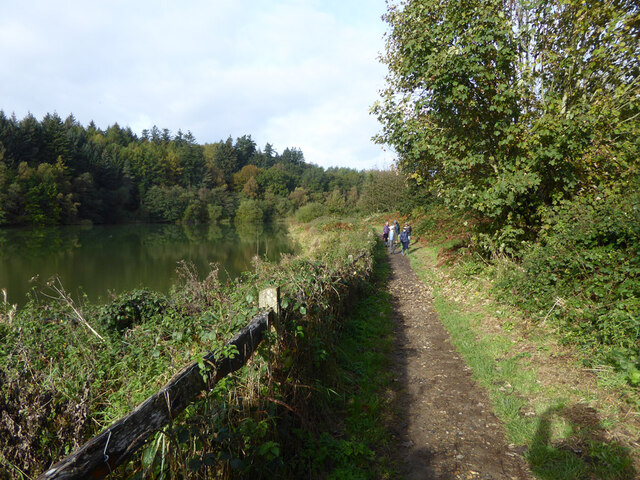
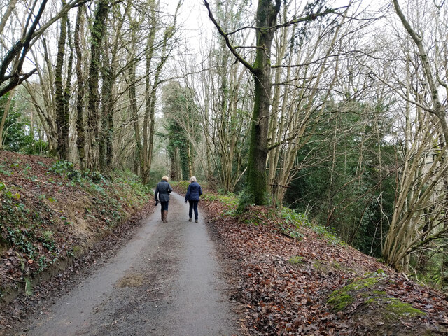
Visitors to Nettlefield Wood can enjoy a network of walking trails that wind their way through the forest, allowing for peaceful strolls and nature walks. The wood is also a popular spot for picnics, with several designated areas providing a tranquil setting to relax and enjoy the surroundings.
Nettlefield Wood offers a true escape from the hustle and bustle of everyday life, providing a sanctuary for both wildlife and humans alike. With its stunning natural beauty and diverse wildlife, it is a must-visit destination for anyone seeking a peaceful and immersive forest experience in Sussex.
If you have any feedback on the listing, please let us know in the comments section below.
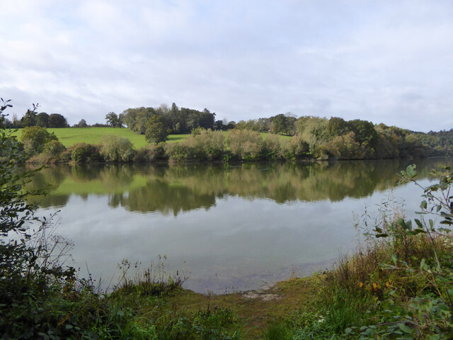
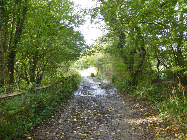
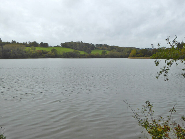
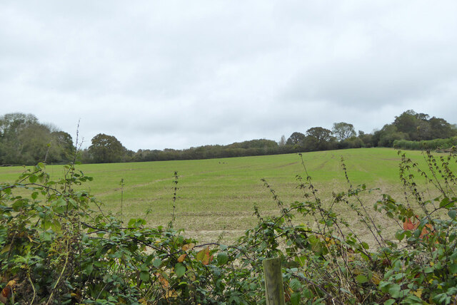
Nettlefield Wood Images
Images are sourced within 2km of 51.050716/-0.11553916 or Grid Reference TQ3229. Thanks to Geograph Open Source API. All images are credited.


Nettlefield Wood is located at Grid Ref: TQ3229 (Lat: 51.050716, Lng: -0.11553916)
Administrative County: West Sussex
District: Mid Sussex
Police Authority: Sussex
What 3 Words
///hairstyle.singing.stickler. Near Balcombe, West Sussex
Nearby Locations
Related Wikis
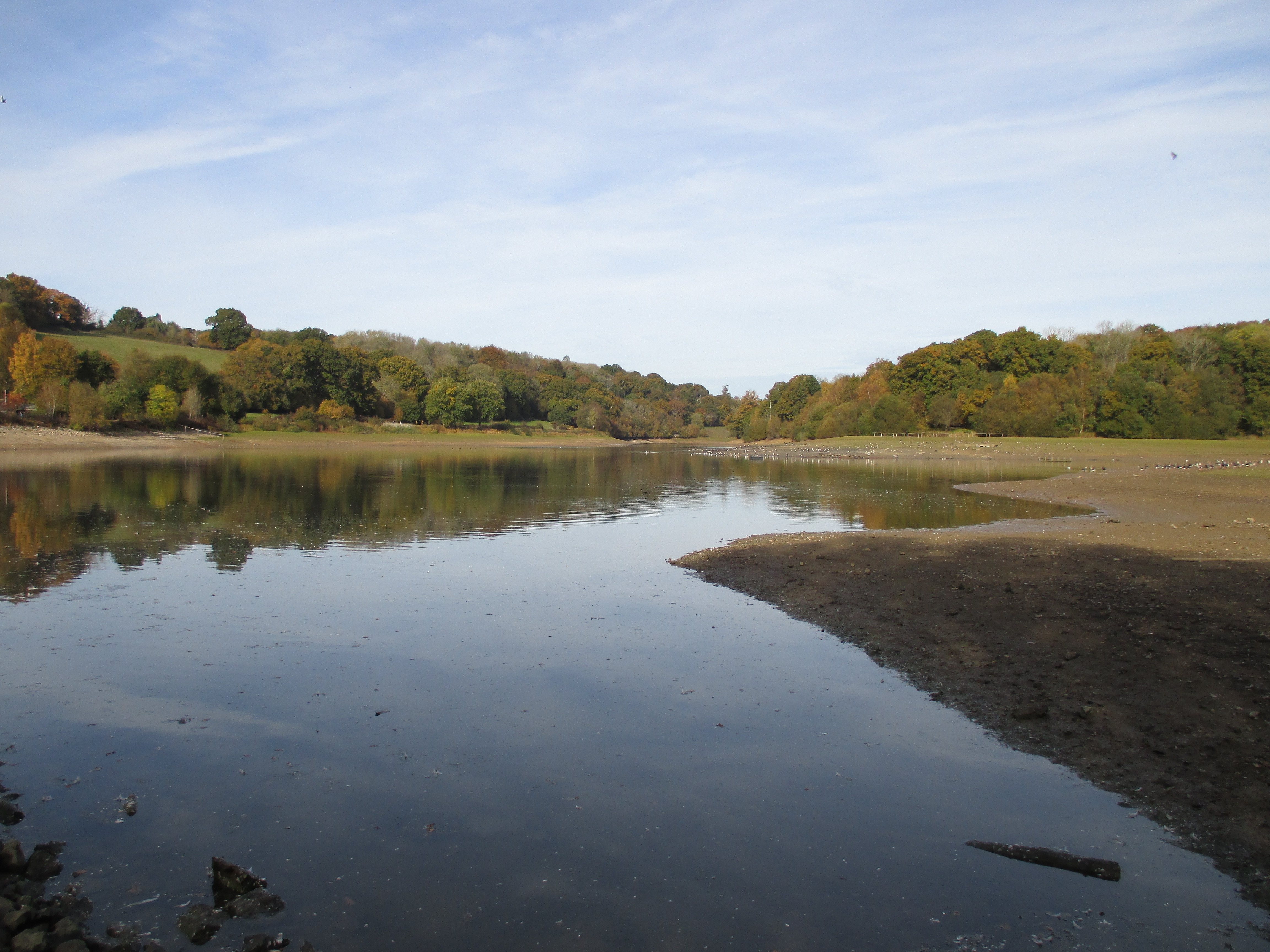
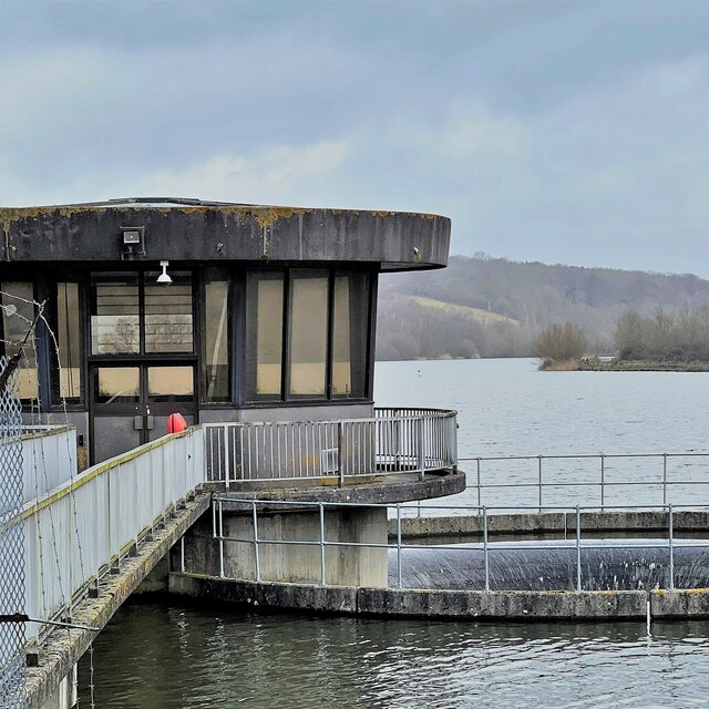
Ardingly Reservoir
Ardingly Reservoir is west of Ardingly in West Sussex. The southern end is a 74.5-hectare (184-acre) Local Nature Reserve owned and managed by South East...
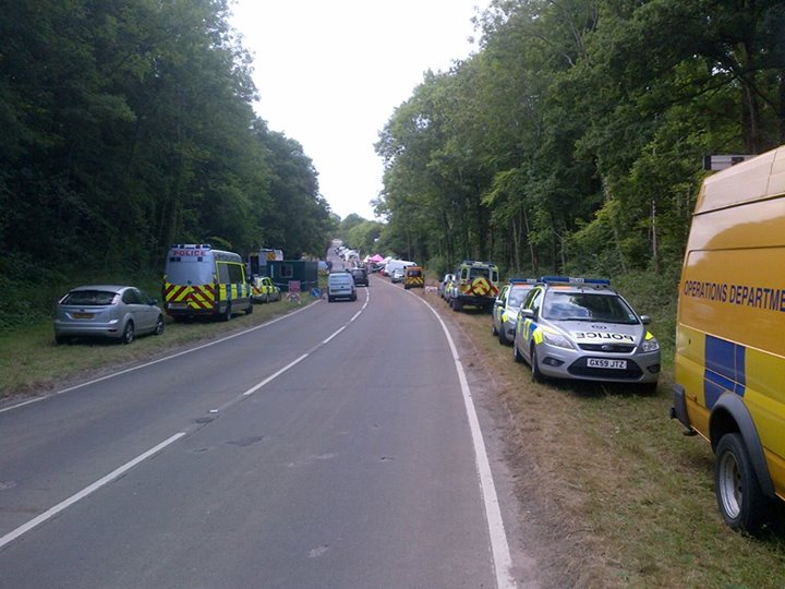
Balcombe drilling protest
The Balcombe drilling protest occurred when test drilling and possible fracking for petroleum were proposed in 2012 near Balcombe, a village in West Sussex...

Balcombe Place
Balcombe Place is a Grade II* Listed Building, built in 1856 in West Sussex, with a south view across the Ouse Valley. It now forms part of The Balcombe...
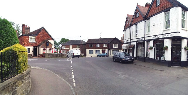
Balcombe
Balcombe is a village and civil parish in the Mid Sussex District of West Sussex, England. It lies 31 miles (50 km) south of London, 16 miles (26 km) north...

Balcombe railway station
Balcombe railway station is on the Brighton Main Line in England, serving the village of Balcombe, West Sussex. It is 33 miles 64 chains (54.4 km) down...
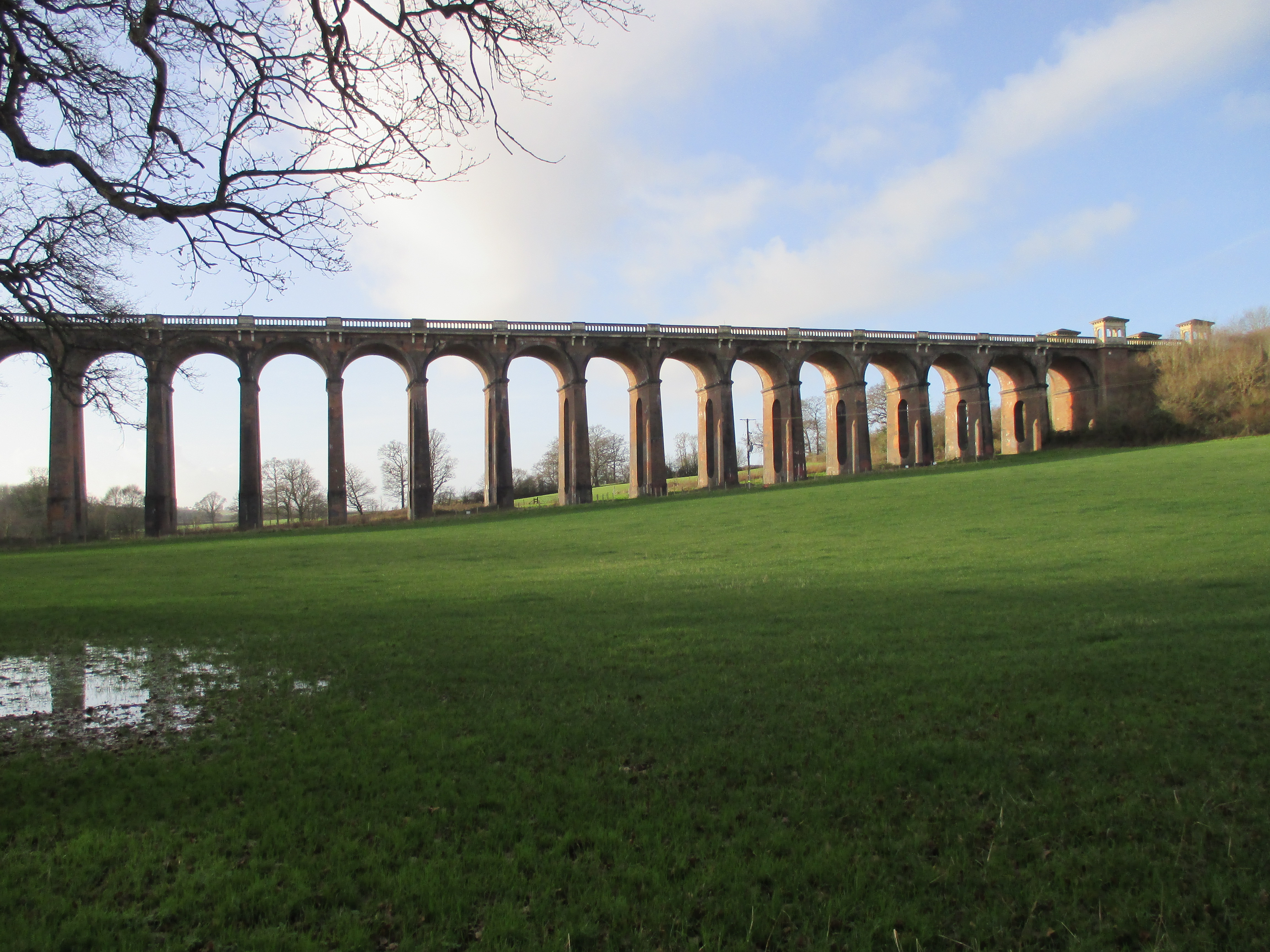
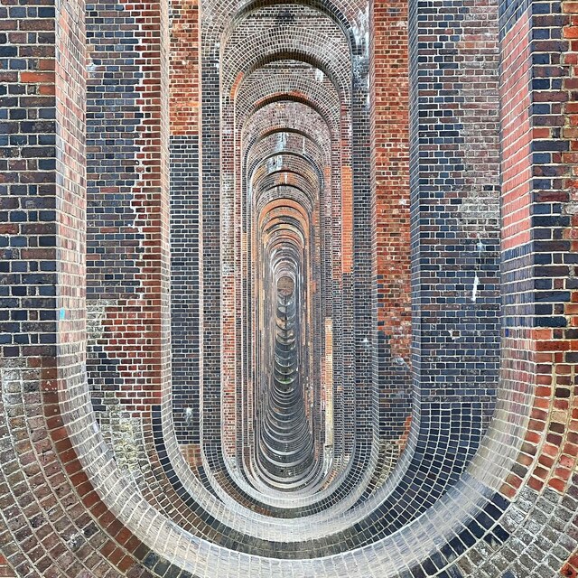
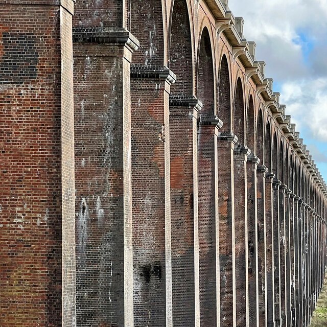
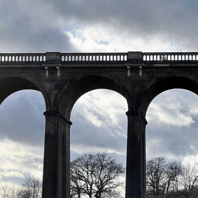
Ouse Valley Viaduct
The Ouse Valley Viaduct (or the Balcombe Viaduct) carries the London-Brighton Railway Line over the River Ouse in Sussex. It is located to the north of...

St Peter's Church, Ardingly
St Peter's Church is the Church of England parish church of the parish of Ardingly in Mid Sussex, one of seven local government districts in the English...

South of England Show
The South of England Show is a county show held annually at its own showground in Ardingly, Sussex during June.The show was founded in 1967 and is organised...
Nearby Amenities
Located within 500m of 51.050716,-0.11553916Have you been to Nettlefield Wood?
Leave your review of Nettlefield Wood below (or comments, questions and feedback).