Scrubs Shaw
Wood, Forest in Sussex Mid Sussex
England
Scrubs Shaw
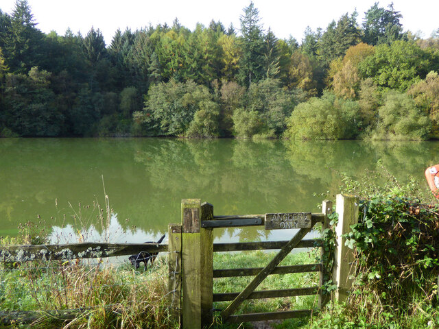
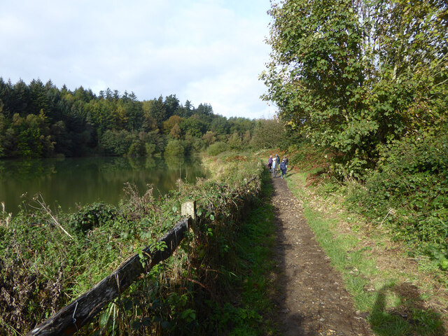
Scrubs Shaw, located in Sussex, is a picturesque wood and forest area that boasts natural beauty and rich biodiversity. Spread across a vast expanse, this serene location offers a tranquil escape from the hustle and bustle of city life.
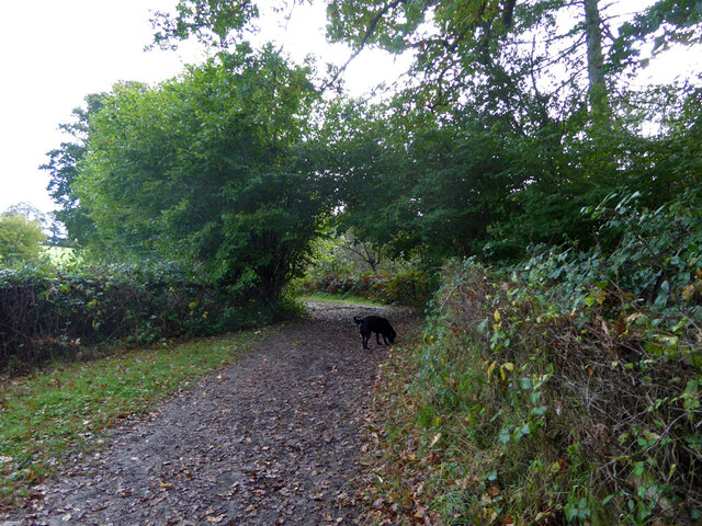
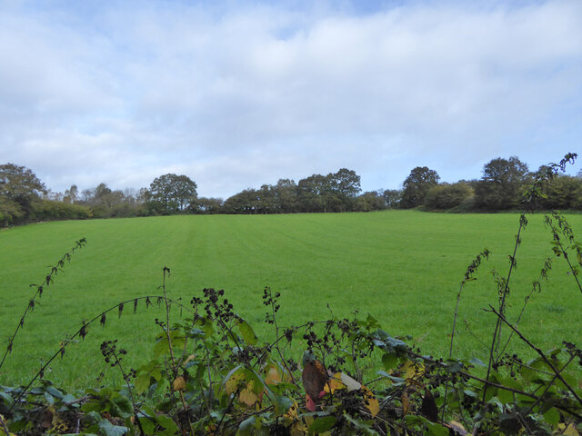
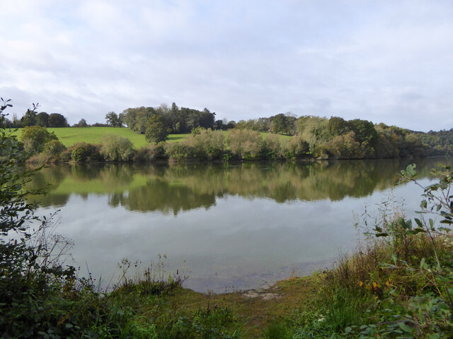
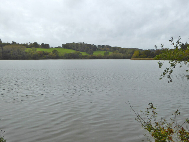
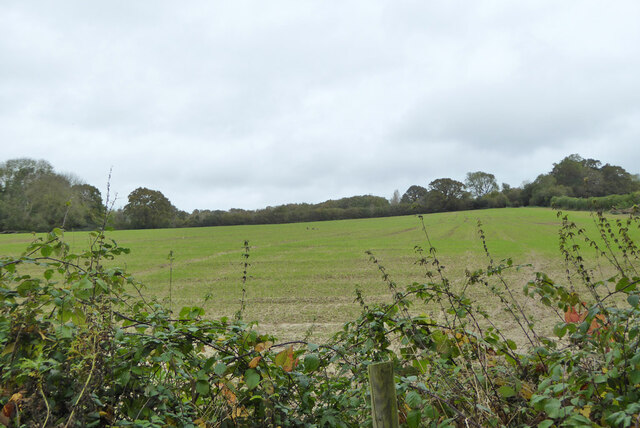
The woodlands of Scrubs Shaw are characterized by their dense canopy of towering trees, creating a shaded and cool environment. The dominant tree species found here include oak, ash, beech, and birch, which provide a habitat for a diverse range of flora and fauna. The forest floor is adorned with an array of wildflowers, ferns, and mosses, offering a colorful and vibrant display during the spring and summer months.
Wildlife flourishes within the confines of Scrubs Shaw. Various species of mammals, such as deer, foxes, and badgers, can be spotted roaming the forest. Bird enthusiasts will delight in the sight of various avian species, including woodpeckers, owls, and songbirds. The forest also provides a haven for numerous insects, butterflies, and bees, contributing to the delicate balance of the ecosystem.
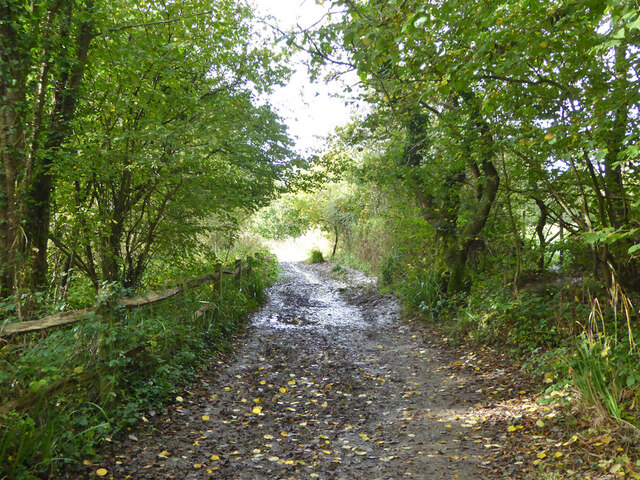
For outdoor enthusiasts, Scrubs Shaw offers a range of activities. Nature trails meander through the woodlands, providing opportunities for hiking, jogging, or simply immersing oneself in the beauty of nature. Picnic areas are scattered throughout, inviting visitors to enjoy a leisurely lunch amidst the tranquil surroundings.
Scrubs Shaw in Sussex is a true gem for nature lovers, offering a serene and rejuvenating experience, and serving as an important habitat for various species of plants and animals.
If you have any feedback on the listing, please let us know in the comments section below.
Scrubs Shaw Images
Images are sourced within 2km of 51.051658/-0.10816705 or Grid Reference TQ3229. Thanks to Geograph Open Source API. All images are credited.

Scrubs Shaw is located at Grid Ref: TQ3229 (Lat: 51.051658, Lng: -0.10816705)
Administrative County: West Sussex
District: Mid Sussex
Police Authority: Sussex
What 3 Words
///fights.stews.compress. Near Balcombe, West Sussex
Nearby Locations
Related Wikis
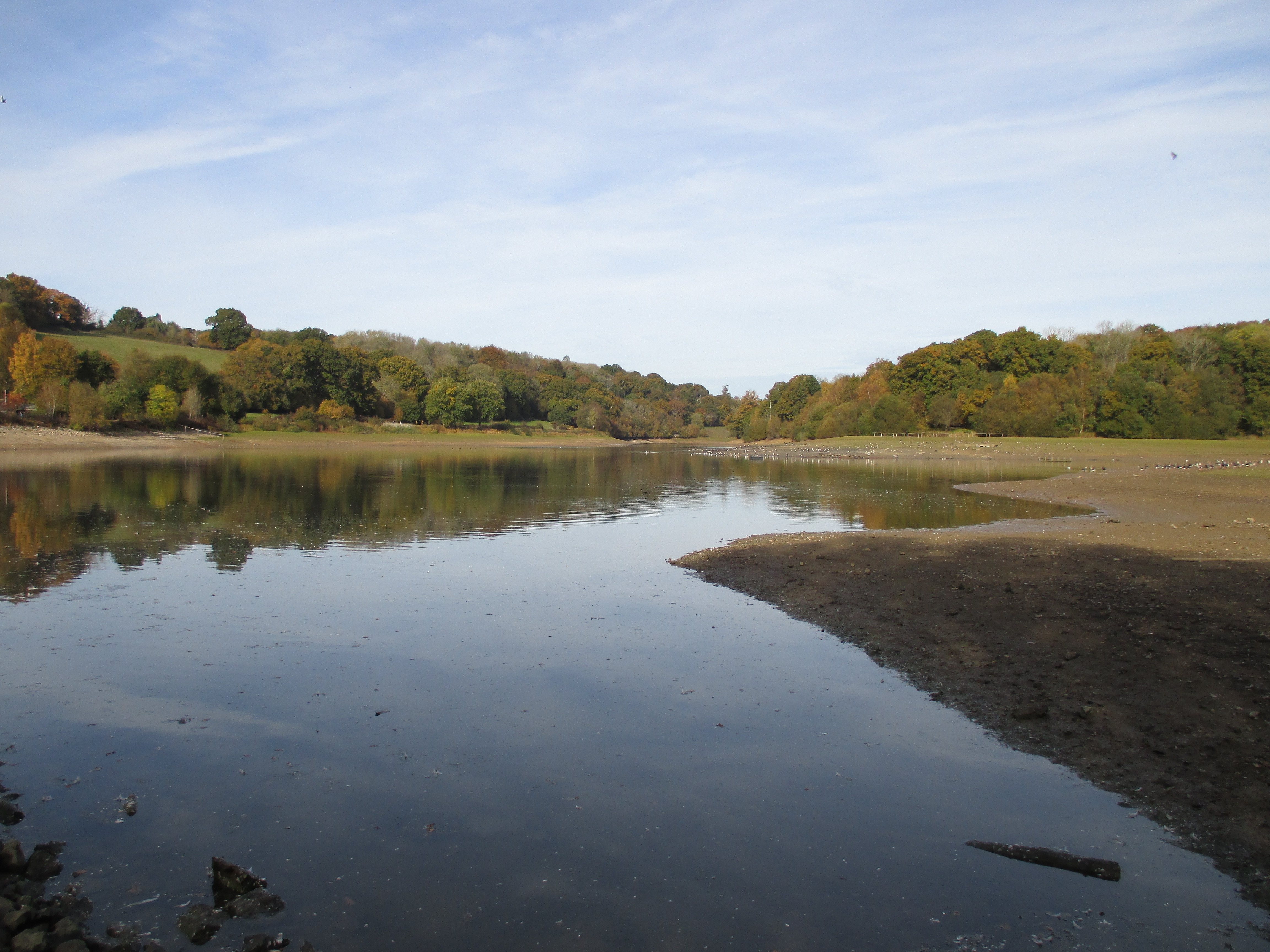
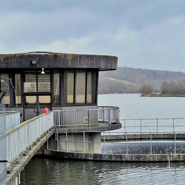
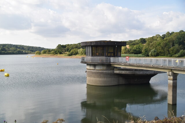
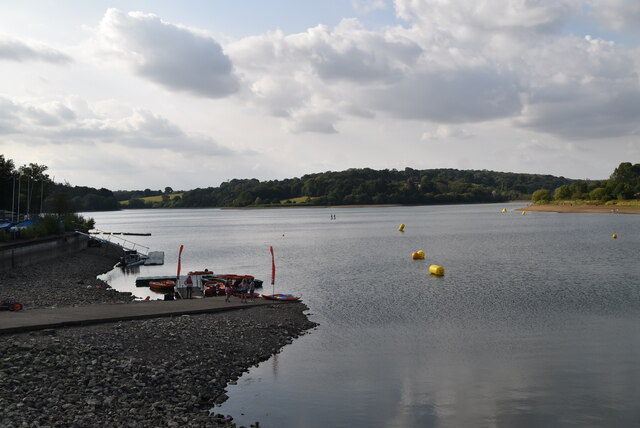
Ardingly Reservoir
Ardingly Reservoir is west of Ardingly in West Sussex. The southern end is a 74.5-hectare (184-acre) Local Nature Reserve owned and managed by South East...

St Peter's Church, Ardingly
St Peter's Church is the Church of England parish church of the parish of Ardingly in Mid Sussex, one of seven local government districts in the English...

Balcombe Place
Balcombe Place is a Grade II* Listed Building, built in 1856 in West Sussex, with a south view across the Ouse Valley. It now forms part of The Balcombe...

South of England Show
The South of England Show is a county show held annually at its own showground in Ardingly, Sussex during June.The show was founded in 1967 and is organised...
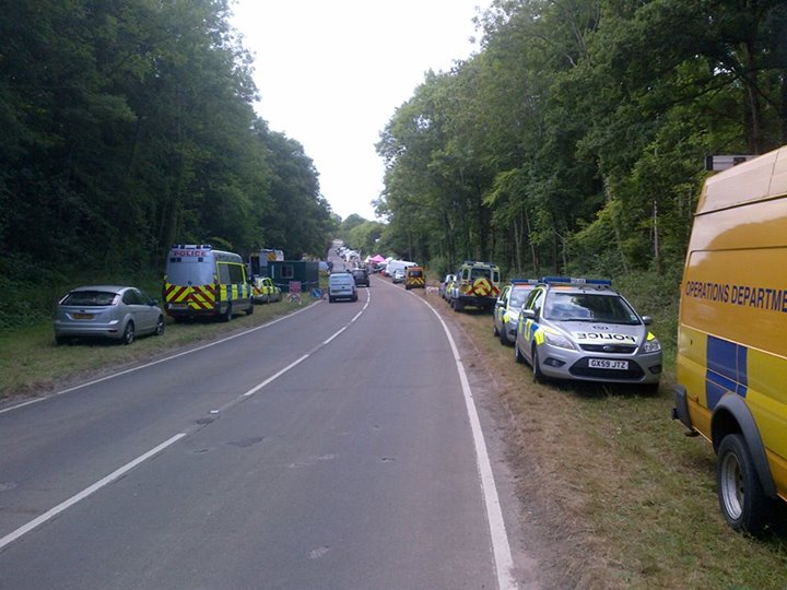
Balcombe drilling protest
The Balcombe drilling protest occurred when test drilling and possible fracking for petroleum were proposed in 2012 near Balcombe, a village in West Sussex...
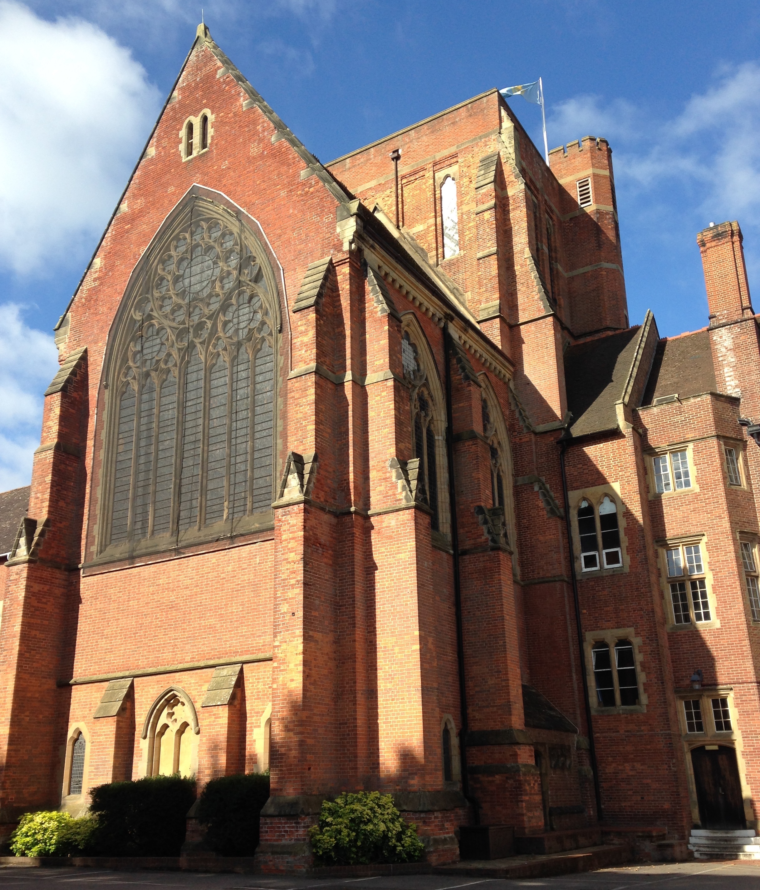
Ardingly College Chapel
The Chapel of S. Saviour is the chapel to Ardingly College in West Sussex, England, and is considered an example of Gothic Revival architecture. The chapel...

Ardingly College
Ardingly College () is a fee-charging boarding and day school in the English public school tradition located near Ardingly, West Sussex, England. The school...
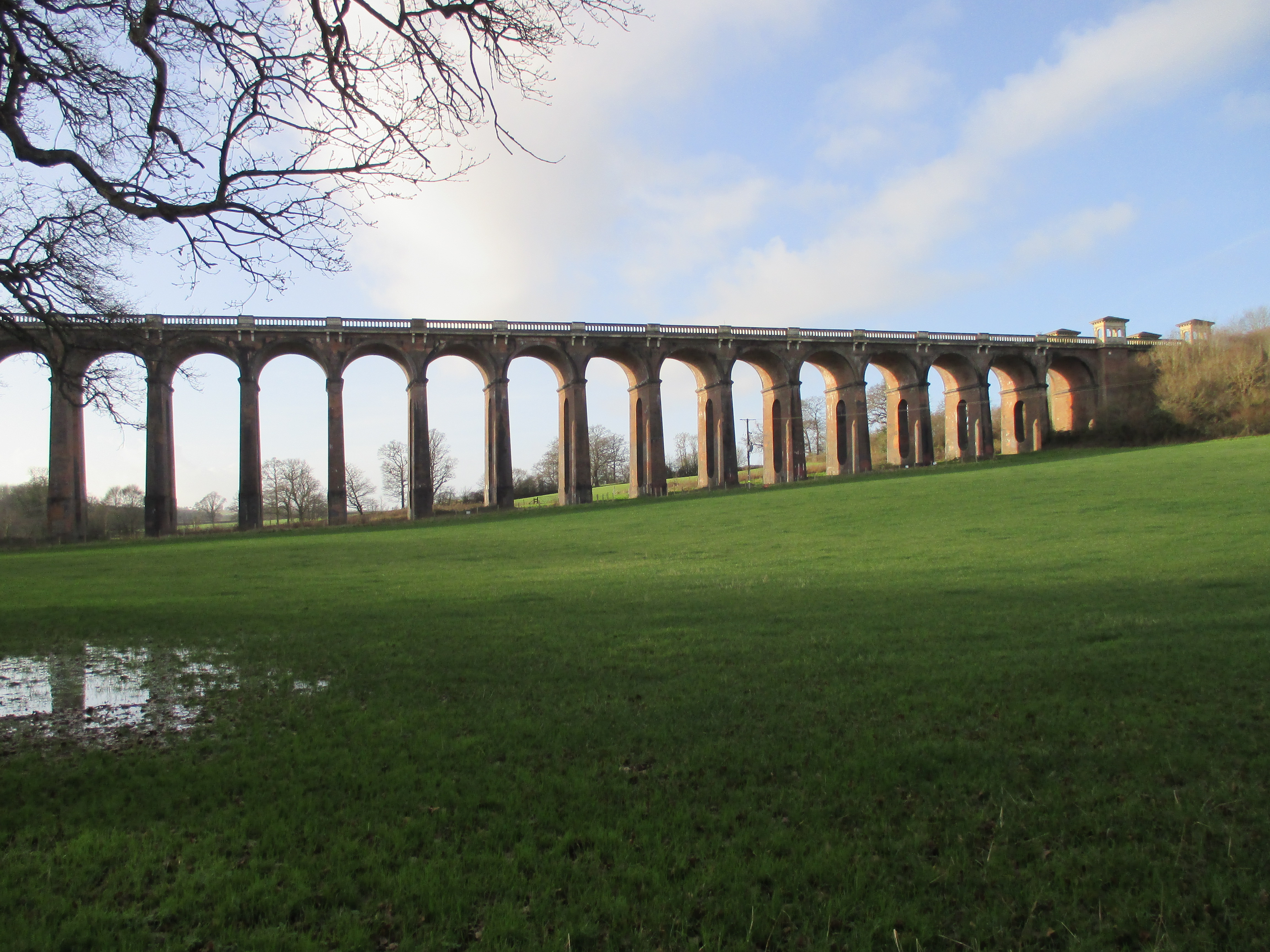
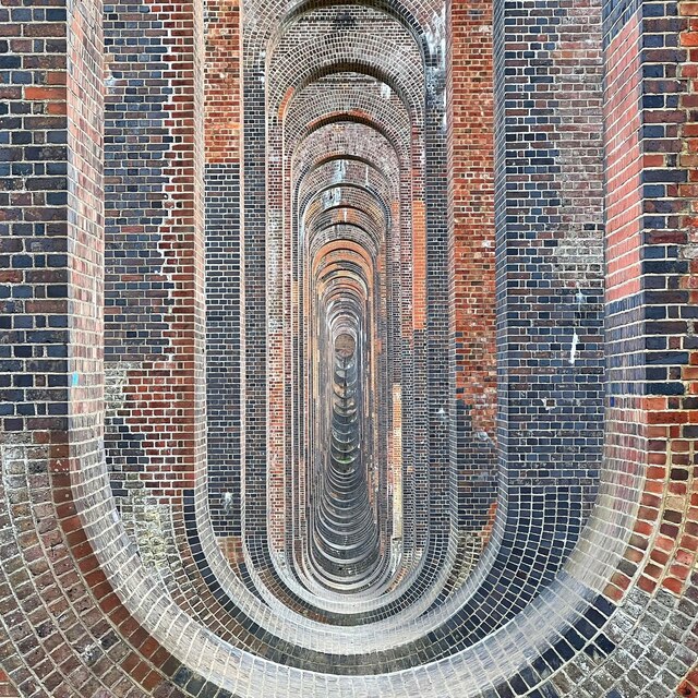
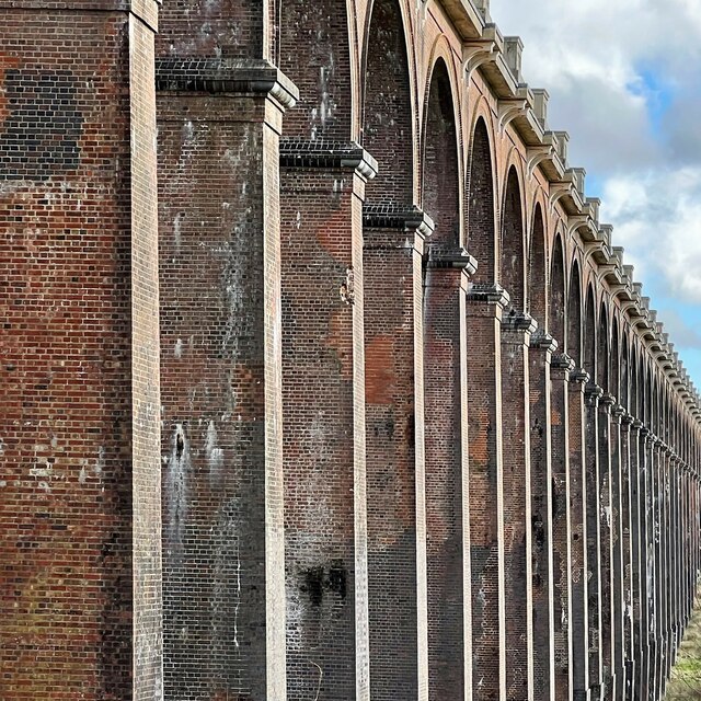
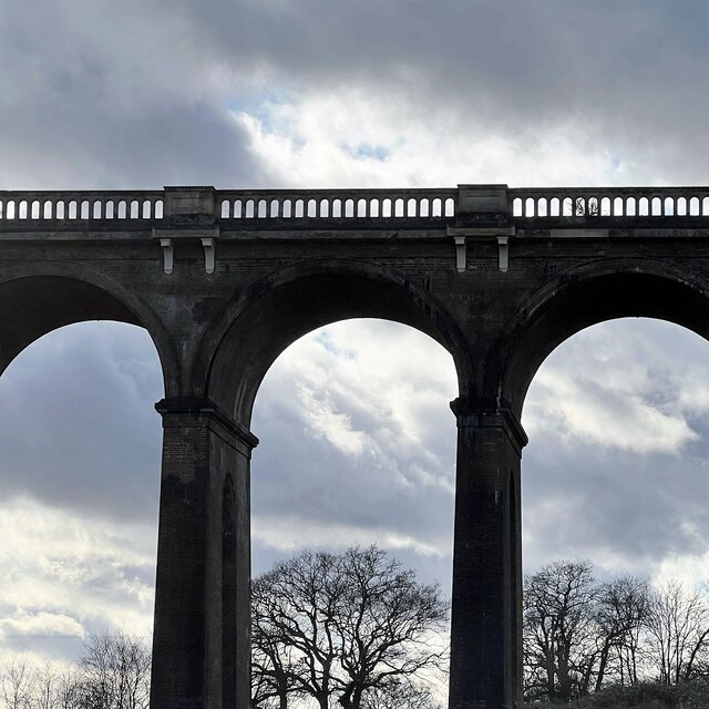
Ouse Valley Viaduct
The Ouse Valley Viaduct (or the Balcombe Viaduct) carries the London-Brighton Railway Line over the River Ouse in Sussex. It is located to the north of...
Nearby Amenities
Located within 500m of 51.051658,-0.10816705Have you been to Scrubs Shaw?
Leave your review of Scrubs Shaw below (or comments, questions and feedback).