Roads Wood

Wood, Forest in Hertfordshire East Hertfordshire

England

Roads Wood

Tonwell Water Tower
Tonwell Water Tower Credit: Jim Osley

Roads Wood is a small forest located in Hertfordshire, a county in the east of England. Covering an area of approximately 200 acres, it is known for its dense woodland and tranquil atmosphere. The forest is situated near the village of Wood, hence its name, and is easily accessible by road.

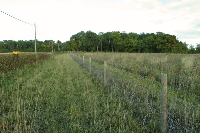
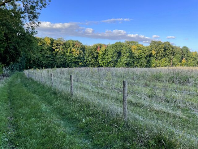
Roads Wood is home to a variety of native tree species, including oak, beech, and birch, which create a vibrant and diverse ecosystem. The forest floor is covered with a thick carpet of moss, ferns, and wildflowers, providing a habitat for numerous small animals and insects.

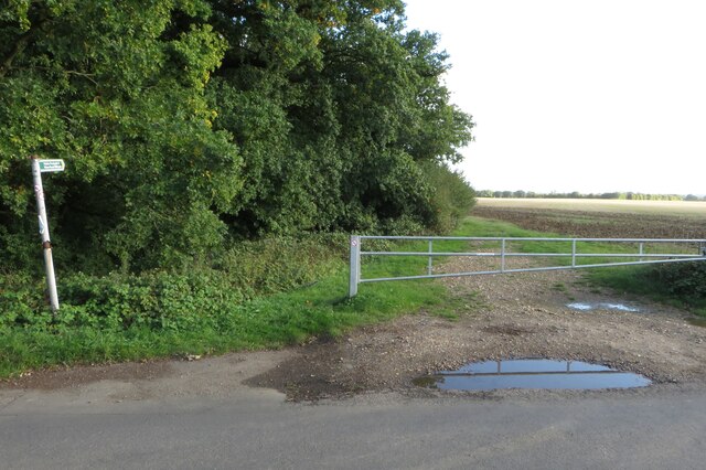
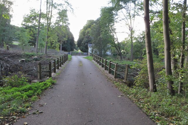
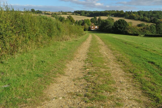
The woodland is crisscrossed by a network of footpaths, allowing visitors to explore its natural beauty and enjoy peaceful walks. These paths lead to various points of interest, such as a small pond where ducks and other waterfowl can often be spotted.

The tranquility of Roads Wood makes it a popular destination for nature lovers and outdoor enthusiasts. It provides an ideal setting for activities such as birdwatching, photography, and simply enjoying the sights and sounds of nature. The forest is also a haven for wildlife, with sightings of deer, foxes, and squirrels being relatively common.

In addition to its natural beauty, Roads Wood is an important part of the local ecosystem, acting as a carbon sink and contributing to the overall health of the surrounding environment. Efforts are made to preserve and protect the forest, ensuring its sustainability for future generations to appreciate and enjoy.

If you have any feedback on the listing, please let us know in the comments section below.
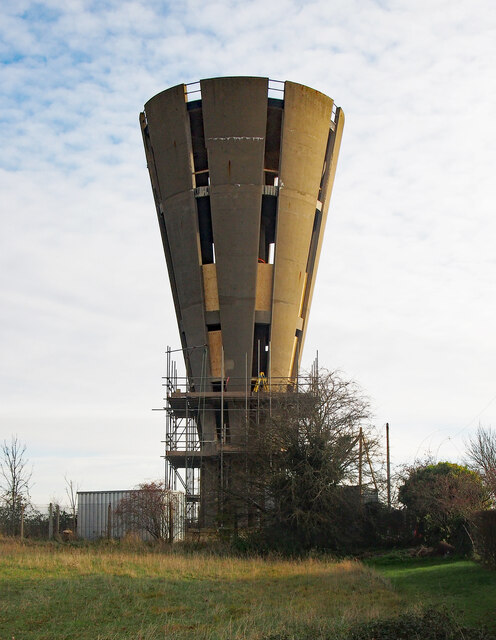
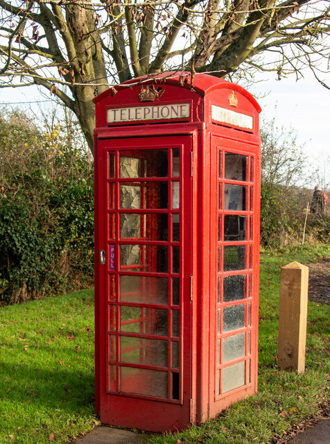
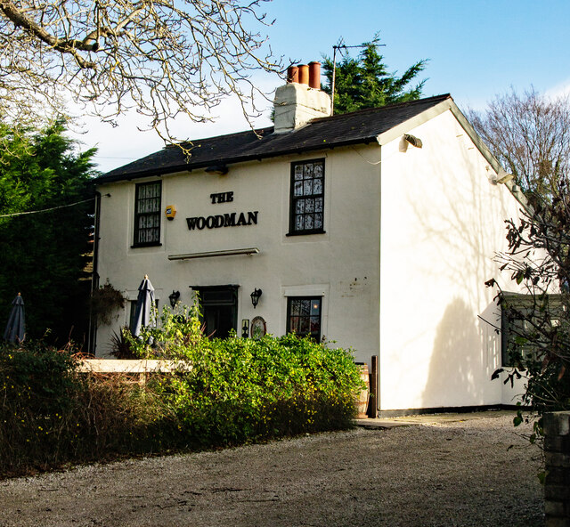
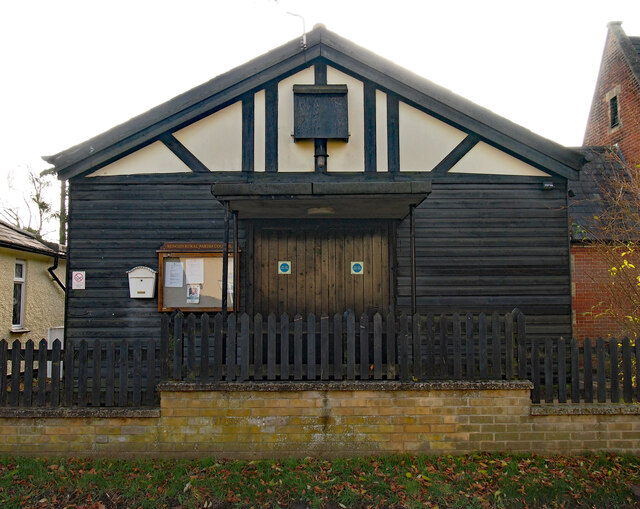
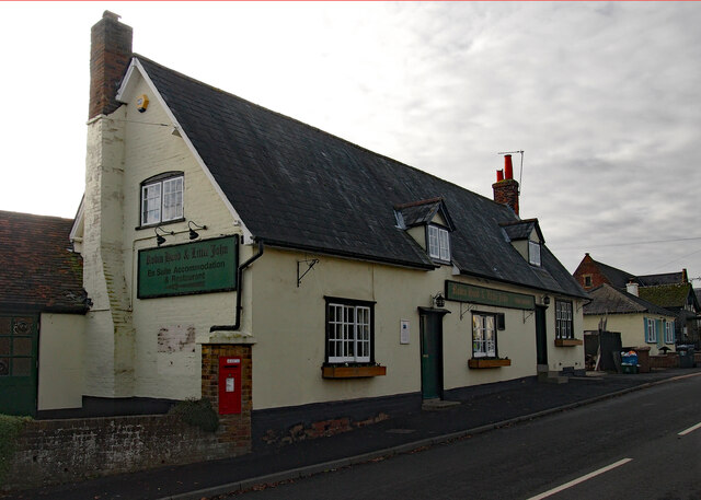
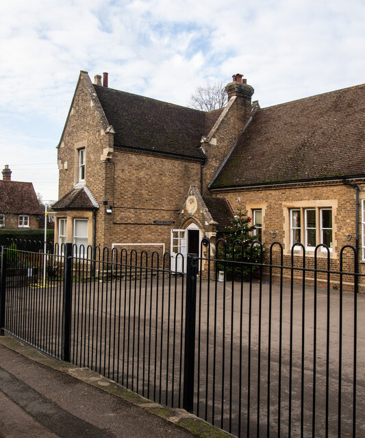
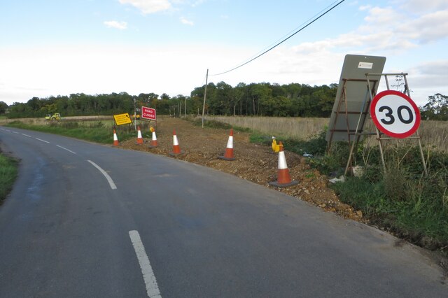
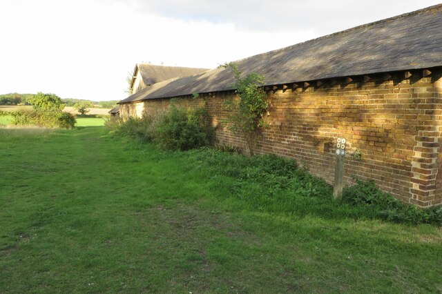
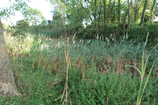
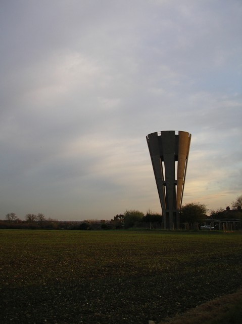
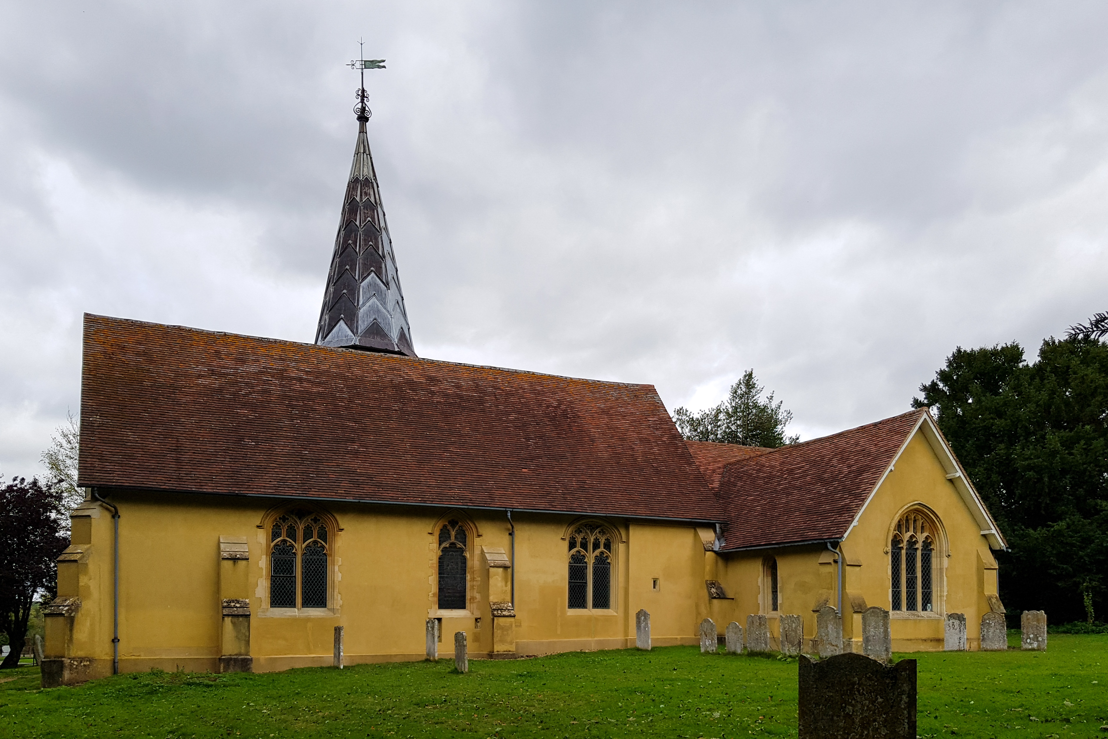
Roads Wood Images

Images are sourced within 2km of 51.842554/-0.071199533 or Grid Reference TL3217. Thanks to Geograph Open Source API. All images are credited.

Tonwell Water Tower
Tonwell Water Tower
Tonwell Water Tower Grade II listed 50,000-gallon reinforced concrete water tower from 1964, designed by Edmund C Percey of architectural practice Scherrer and Hicks. Description at this <span class="nowrap"><a title="https://historicengland.org.uk/listing/the-list/list-entry/1391971?section=official-listing" rel="nofollow ugc noopener" href="https://historicengland.org.uk/listing/the-list/list-entry/1391971?section=official-listing">Link</a><img style="margin-left:2px;" alt="External link" title="External link - shift click to open in new window" src="https://s1.geograph.org.uk/img/external.png" width="10" height="10"/></span>. Currently under conversion to a private residence.
Tonwell Water Tower
Grade II listed 50,000-gallon reinforced concrete water tower from 1964, designed by Edmund C Percey of architectural practice Scherrer and Hicks. Description at this LinkExternal link. Currently under conversion to a private residence.
Chapmore End : K6 telephone box No longer functioning.
Chapmore End : K6 telephone box
No longer functioning.
Chapmore End : "The Woodman" public house Another view at <a href="https://www.geograph.org.uk/photo/1221008">TL3216 : 'The Woodman' public house</a>.
Chapmore End : "The Woodman" public house
Tonwell : St Mary's Primary School "Mr Abel Smith of Woodhall Park built the school in, with the original school house and church in 1857. It opened in 1858. The school now incorporates the building of St Mary’s Chapel, which provides ... two junior classrooms. The original school, with its beautiful leaded windows and vaulted roof, is still used as our school hall ..." - <span class="nowrap"><a title="https://www.tonwell.herts.sch.uk/page-school-history-57/" rel="nofollow ugc noopener" href="https://www.tonwell.herts.sch.uk/page-school-history-57/">Link</a><img style="margin-left:2px;" alt="External link" title="External link - shift click to open in new window" src="https://s1.geograph.org.uk/img/external.png" width="10" height="10"/></span>
Tonwell : St Mary's Primary School
"Mr Abel Smith of Woodhall Park built the school in, with the original school house and church in 1857. It opened in 1858. The school now incorporates the building of St Mary’s Chapel, which provides ... two junior classrooms. The original school, with its beautiful leaded windows and vaulted roof, is still used as our school hall ..." - LinkExternal link
Tonwell Parish Hall
Tonwell Parish Hall
Tonwell : "Robin Hood & Little John" public house Grade II listed building described at this <span class="nowrap"><a title="https://historicengland.org.uk/listing/the-list/list-entry/1089155?section=official-listing" rel="nofollow ugc noopener" href="https://historicengland.org.uk/listing/the-list/list-entry/1089155?section=official-listing">Link</a><img style="margin-left:2px;" alt="External link" title="External link - shift click to open in new window" src="https://s1.geograph.org.uk/img/external.png" width="10" height="10"/></span>
Tonwell : "Robin Hood & Little John" public house
Grade II listed building described at this LinkExternal link
Stapleford Primary School Former National school built in 1872.
Stapleford Primary School
Former National school built in 1872.
Sacombe, St Catherine
Minor road from the A602- now removed
Footpath by Roads Woods towards Tonwell
Chain Walk going to Sacombe Park
Chain Walk heading north
Bridge over an empty stream
Avenue into Woodhall Park by Ware Lodge
Footpath down into Sacombe
Footpath by Temple Farm
Damp pond at Temple Farm Part of the moat mentioned on the map perhaps
Damp pond at Temple Farm
Part of the moat mentioned on the map perhaps
Show me another place!

Roads Wood is located at Grid Ref: TL3217 (Lat: 51.842554, Lng: -0.071199533)

Administrative County: Hertfordshire

District: East Hertfordshire

Police Authority: Hertfordshire

What 3 Words

///dusty.orders.shops. Near Watton at Stone, Hertfordshire

Nearby Locations

Roads Wood Hawkin's Dell

Related Wikis

Tonwell

Tonwell is a small village in Bengeo Rural parish, Hertfordshire.The village is situated just off the A602 (formerly B1001), having been bypassed in 1987...

Bengeo Rural

Bengeo Rural is a civil parish in the East Hertfordshire district of Hertfordshire, England. According to the 2001 census it had a population of 601,...

Chapmore End

Chapmore End is a hamlet in Bengeo Rural parish, Hertfordshire. At the 2011 Census the population of the hamlet was included in the town of Ware. The village...

Stapleford, Hertfordshire

Not to be confused with Stapleford, Nottinghamshire. Stapleford is a village and civil parish of 134 acres (54 ha) on the A119 road, in the East Hertfordshire...

Woodhall Park

Woodhall Park is a Grade I listed country house near Watton-at-Stone, Hertfordshire, England. The 18th century neo-classical building is set in a walled...

Sacombe

Sacombe is a village and civil parish in the East Hertfordshire district, of Hertfordshire, England. At the 2001 census it had a population of 165. Sacombe...

Heath Mount School

Heath Mount School is a Church of England co-educational independent prep school near Watton-at-Stone, Hertfordshire, England. It admits pupils aged 3...

Sacombe Green

Sacombe Green is a hamlet located to the east of the village of Sacombe, in the East Hertfordshire district, in the county of Hertfordshire, England....

Nearby Amenities

Located within 500m of 51.842554,-0.071199533
Barrier: cattle_grid
Bicycle: yes
Foot: yes
Motorcar: yes
Motorcycle: yes
Lat/Long: 51.8461165/-0.0674294
Burrs Green Farm
Local Ref: NR
Naptan AtcoCode: 210021305850
Naptan Bearing: NW
Naptan BusStopType: CUS
Naptan CommonName: Burrs Green Farm
Naptan Crossing: Burrs Green Farm
Naptan Indicator: nr
Naptan Landmark: Burrs Green Farm
Naptan NaptanCode: hrtdtawj
Naptan ShortCommonName: NA
Naptan Street: Ware Road
Naptan Verified: no
Source: naptan_import
Lat/Long: 51.8455899/-0.0711494
Burrs Green Farm
Naptan AtcoCode: 210021310930
Naptan Bearing: S
Naptan BusStopType: CUS
Naptan CommonName: Burrs Green Farm
Naptan Crossing: opp Burrs Green Farm
Naptan Indicator: opp
Naptan Landmark: opp Burrs Green Farm
Naptan NaptanCode: hrtdpawg
Naptan ShortCommonName: NA
Naptan Street: Ware Road
Naptan Verified: no
Source: naptan_import
Lat/Long: 51.8457046/-0.0709837
Designation: 677/32
Material: steel
Power: pole
Lat/Long: 51.8397054/-0.0697161
Designation: 677/31
Material: steel
Power: pole
Lat/Long: 51.838837/-0.0698663
Designation: 677/33
Material: steel
Power: pole
Lat/Long: 51.8406037/-0.0695498
Designation: 677/34
Power: pole
Lat/Long: 51.8415082/-0.0693996
Designation: 753/7
Power: pole
Source: Bing
Transformer: distribution
Lat/Long: 51.8426115/-0.0768233
Designation: 753/5
Material: wood
Power: pole
Source: Bing
Lat/Long: 51.8407936/-0.077054
Designation: 753/6
Power: pole
Source: Bing
Lat/Long: 51.841705/-0.0769628
Man Made: mast
Tower Type: communication
Lat/Long: 51.8421109/-0.0693081
Material: wood
Power: pole
Lat/Long: 51.8470347/-0.0708881
Power: pole
Lat/Long: 51.8428971/-0.078283
Power: pole
Lat/Long: 51.8451507/-0.075472
Power: pole
Lat/Long: 51.8446851/-0.0761399
Power: pole
Lat/Long: 51.8440123/-0.0769553
Barrier: motorcycle_barrier
Bicycle: designated
Foot: yes
Horse: designated
Motor Vehicle: no
Lat/Long: 51.8435978/-0.0698518
Barrier: swing_gate
Lat/Long: 51.8462987/-0.0715821
Barrier: motorcycle_barrier
Bicycle: designated
Foot: yes
Horse: designated
Motor Vehicle: no
Lat/Long: 51.8452778/-0.0714648
The data included in this document is from www.openstreetmap.org. The data is made available under ODbL.

Have you been to Roads Wood?

Leave your review of Roads Wood below (or comments, questions and feedback).