West Ashby Covert
Wood, Forest in Lincolnshire East Lindsey
England
West Ashby Covert
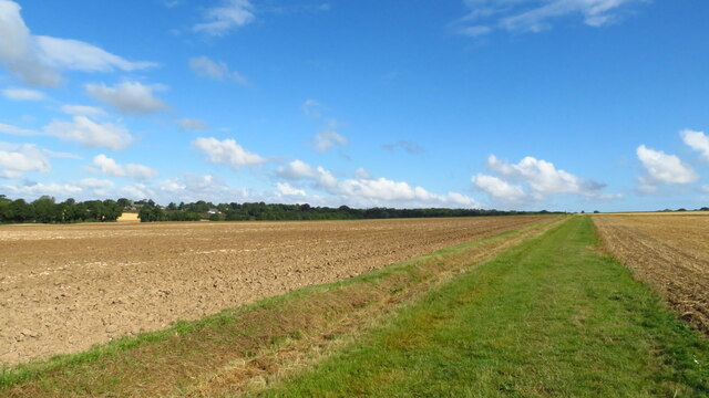
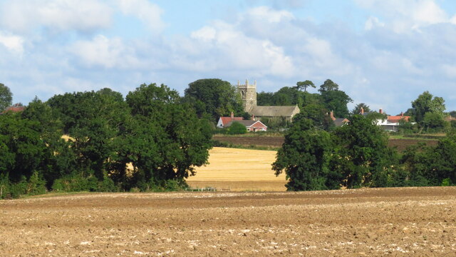
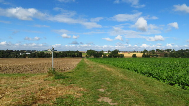
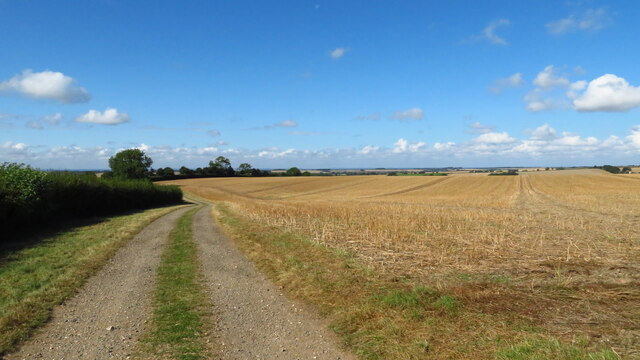
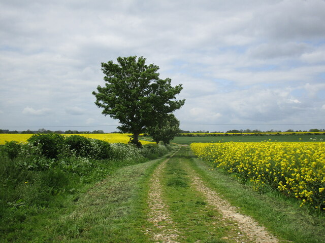
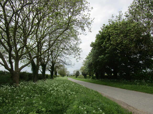
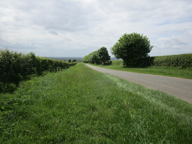
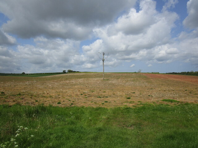
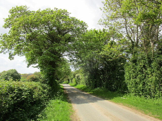
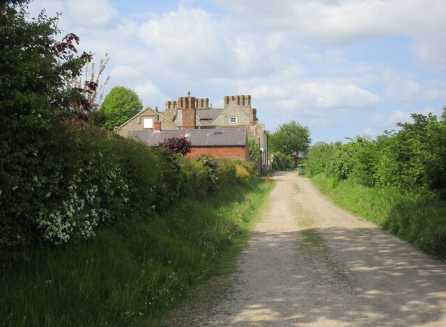
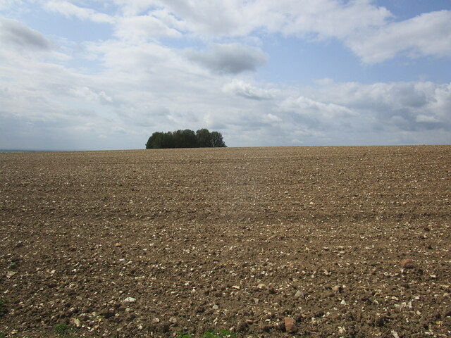
West Ashby Covert is a small woodland area located in Lincolnshire, England. Situated in the rural district of East Lindsey, it is nestled within the larger village of West Ashby. Covering an area of approximately 100 acres, this woodland is characterized by its dense forestation and diverse range of tree species.
The woodland is predominantly composed of deciduous trees, with oak, birch, and beech being the most prevalent. These trees provide a rich canopy that offers shade and shelter to a variety of wildlife. The forest floor is covered in a thick carpet of moss, ferns, and wildflowers, creating a vibrant and enchanting atmosphere.
West Ashby Covert is home to a multitude of wildlife species, including deer, badgers, foxes, and a wide array of bird species. The woodland provides a vital habitat for these animals, offering protection and a source of food. It is also a popular spot for birdwatching, with bird enthusiasts frequenting the area to catch a glimpse of rare species such as woodpeckers and owls.
The woodland is crisscrossed with well-maintained footpaths, allowing visitors to explore its beauty while enjoying a peaceful and serene environment. These paths lead to picturesque viewpoints and tranquil spots, providing visitors with opportunities for relaxation and contemplation.
West Ashby Covert is not only a haven for wildlife and nature enthusiasts, but it also serves as an important ecological asset. Its preservation and conservation efforts help maintain the delicate balance of the local ecosystem, and it stands as a testament to the beauty and diversity of the natural world in Lincolnshire.
If you have any feedback on the listing, please let us know in the comments section below.
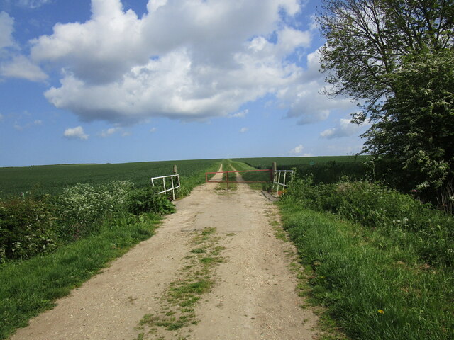
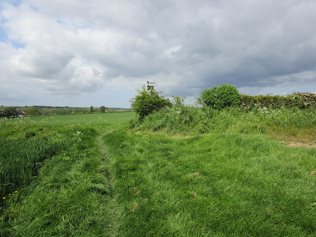
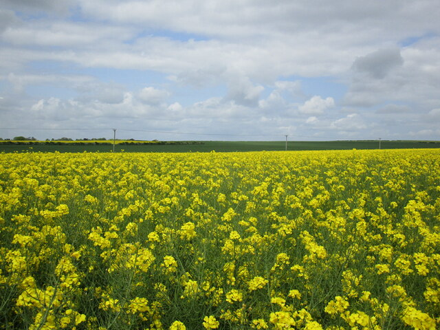
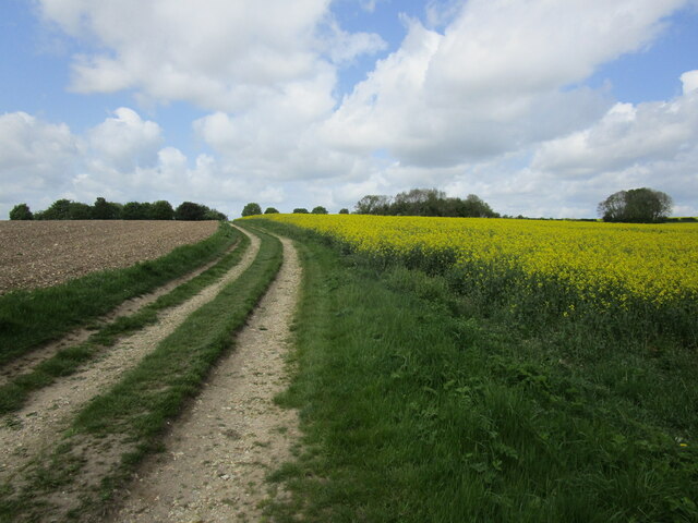
West Ashby Covert Images
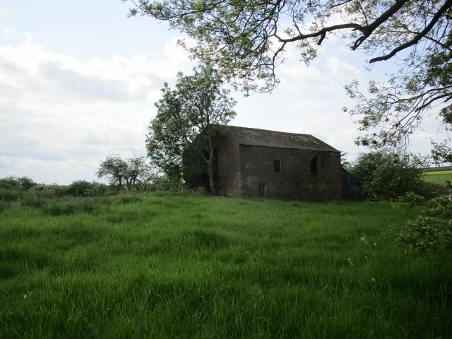
Images are sourced within 2km of 53.236144/-0.095870646 or Grid Reference TF2772. Thanks to Geograph Open Source API. All images are credited.
West Ashby Covert is located at Grid Ref: TF2772 (Lat: 53.236144, Lng: -0.095870646)
Administrative County: Lincolnshire
District: East Lindsey
Police Authority: Lincolnshire
What 3 Words
///bounding.irony.seasons. Near Horncastle, Lincolnshire
Nearby Locations
Related Wikis

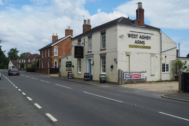
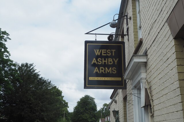
West Ashby
West Ashby is a village and civil parish in the East Lindsey district of Lincolnshire, England. It is situated on the Horncastle to Louth A153 road, and...

Low Toynton
Low Toynton is a hamlet and civil parish in the East Lindsey district of Lincolnshire, England. The population of the civil parish (including Fulletby...

Fulletby
Fulletby is a village and a civil parish in the East Lindsey district of Lincolnshire, England. It is in the Lincolnshire Wolds, and 3 miles (5 km) north...

High Toynton
High Toynton is a village and civil parish in the East Lindsey district of Lincolnshire, England. It is situated approximately 1.5 miles (2.4 km) east...

A158 road
The A158 road is a major route that heads from Lincoln in the west to Skegness on the east coast. The road is located entirely in the county of Lincolnshire...

Horncastle
Horncastle is a market town and civil parish in the East Lindsey district in Lincolnshire, England. It is 17 miles (27 km) east of Lincoln. Its population...

Queen Elizabeth's Grammar School, Horncastle
Queen Elizabeth's Grammar School, Horncastle, is a co-educational grammar school with academy status in Horncastle, Lincolnshire, England. In 2009, there...
St Mary's Church, Horncastle
St. Mary's Church, Horncastle, Lincolnshire, England, dates from the early 13th century and is dedicated to Saint Mary. It serves the Ecclesiastical Parish...
Nearby Amenities
Located within 500m of 53.236144,-0.095870646Have you been to West Ashby Covert?
Leave your review of West Ashby Covert below (or comments, questions and feedback).