Cherrytree Plantation
Wood, Forest in Sussex Mid Sussex
England
Cherrytree Plantation
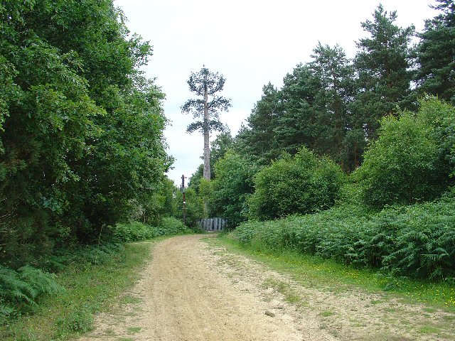
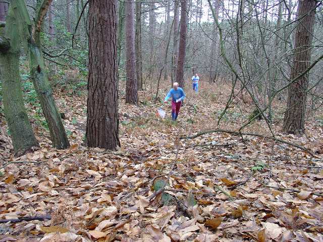
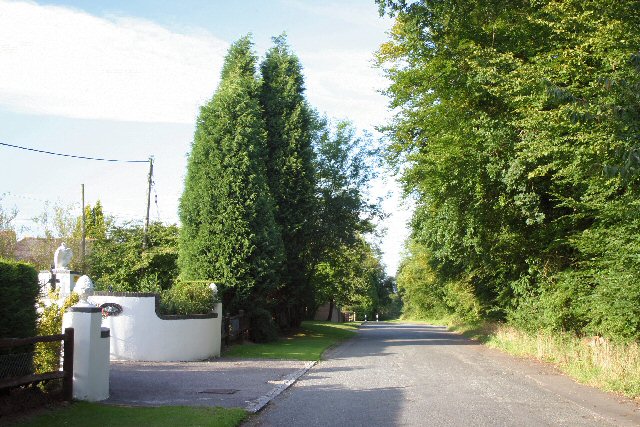
Cherrytree Plantation is a picturesque woodland area located in Sussex, England. Spread across a vast expanse, it is known for its diverse range of cherry trees, offering a delightful sight to visitors during the blooming season. The plantation is nestled amidst rolling hills and tranquil surroundings, providing a serene environment for nature enthusiasts and those seeking a peaceful retreat.
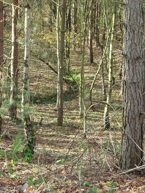
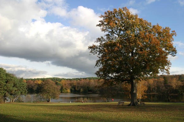
The woodland is home to a rich variety of flora and fauna, with an abundance of native species. Apart from the signature cherry trees, the plantation boasts a mix of deciduous and coniferous trees, including oak, beech, and pine, creating a vibrant and lush green landscape throughout the year. These trees provide a haven for numerous bird species, making it a popular spot for birdwatchers.
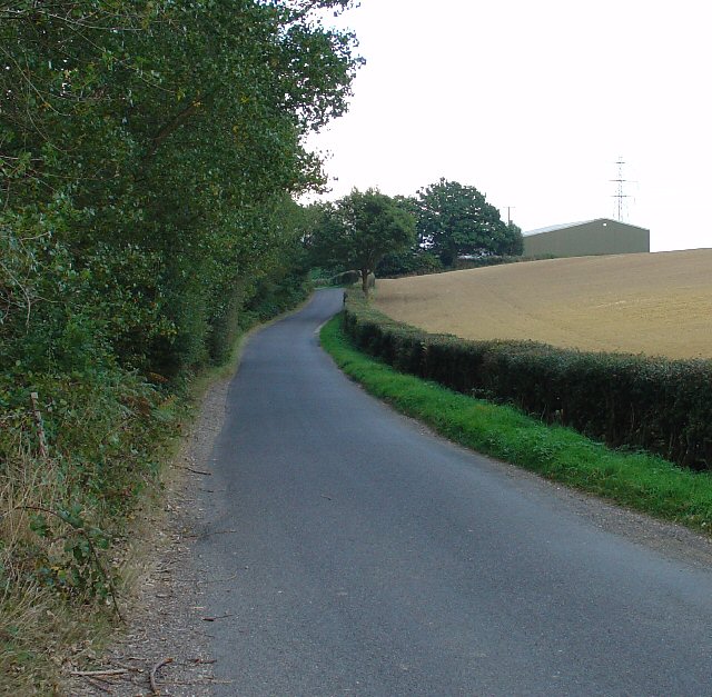
Cherrytree Plantation offers a network of well-maintained walking trails, allowing visitors to explore the beauty of the woodland at their own pace. The trails wind through the forest, offering glimpses of small streams, wildflowers, and occasional wildlife sightings. The plantation also features designated picnic areas and benches, providing an opportunity for visitors to relax and soak in the tranquility of the surroundings.
With its natural charm and peaceful ambiance, Cherrytree Plantation is a popular destination for nature lovers, hikers, and families seeking a day out in the countryside. The plantation's beauty changes with the seasons, providing a unique experience every time one visits. Whether it's the vibrant cherry blossoms in spring or the golden hues of the leaves in autumn, Cherrytree Plantation promises a memorable and refreshing escape into nature.
If you have any feedback on the listing, please let us know in the comments section below.
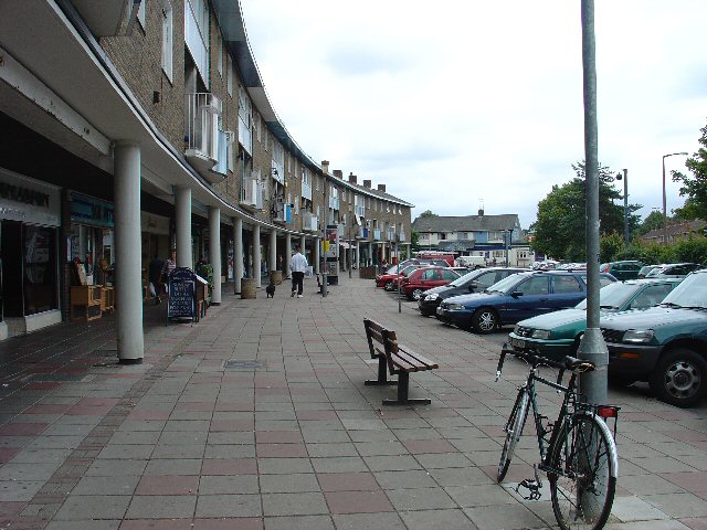
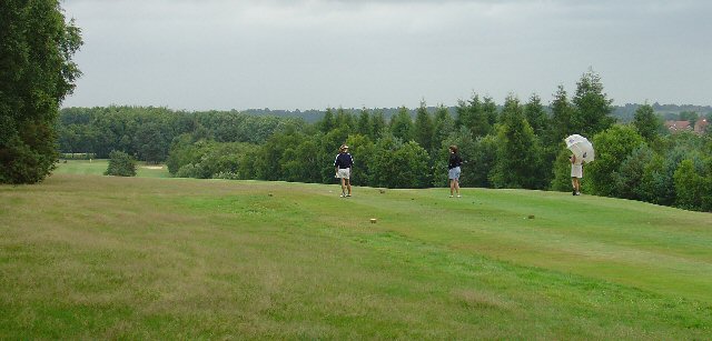
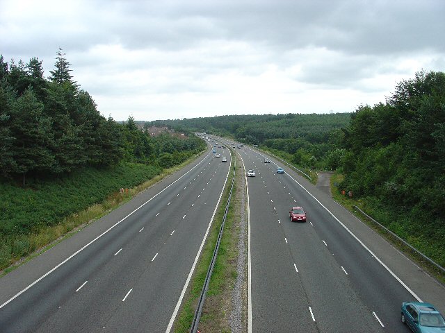
Cherrytree Plantation Images
Images are sourced within 2km of 51.087126/-0.18522672 or Grid Reference TQ2733. Thanks to Geograph Open Source API. All images are credited.
Cherrytree Plantation is located at Grid Ref: TQ2733 (Lat: 51.087126, Lng: -0.18522672)
Administrative County: West Sussex
District: Mid Sussex
Police Authority: Sussex
What 3 Words
///trades.transmitted.entertainer. Near Broadfield, West Sussex
Nearby Locations
Related Wikis

Tilgate Nature Centre
Tilgate Nature Centre is a small BIAZA-accredited zoo located within Tilgate Park in Tilgate Forest, South-East Crawley, West Sussex, England. The nature...

Tilgate Park
Tilgate Park is a large recreational park situated south of Tilgate, South-East Crawley. Originally a 2,185-acre (8.84 km2) part of the ancient Worth...

Pease Pottage MSA
Pease Pottage services is a motorway service station at Junction 11 of the M23 motorway near Crawley. It is owned by Moto. == Facilities == Facilities...

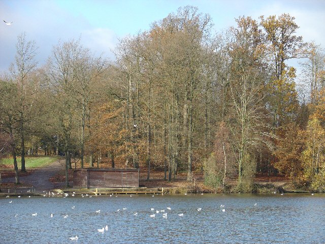
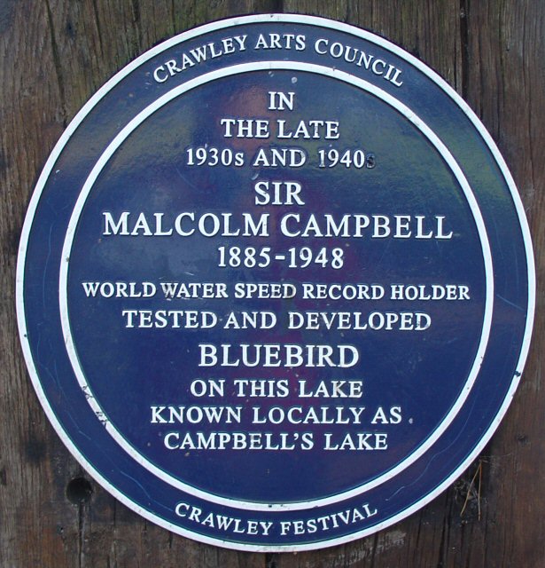
Tilgate Lake
Tilgate Lake is the biggest of three lakes at Tilgate Park, and remains a popular water activity centre and tourist attraction in Crawley, West Sussex...

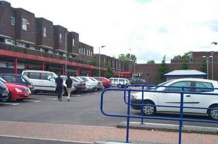
Pease Pottage
Pease Pottage is a village in the Mid Sussex District of West Sussex, England. It lies on the southern edge of the Crawley built-up area, in the civil...

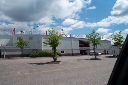
K2 Leisure Centre
K2 is a sports and leisure facility covering 57,194 m2 in Pease Pottage Hill Crawley, UK. == Development == The building belongs to Crawley Borough Council...
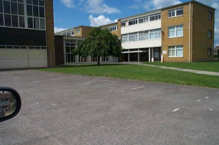
Discovery New School
Discovery New School was a co-educational Montessori free school for pupils aged 4 to 10 located in Crawley, West Sussex. The school opened in September...
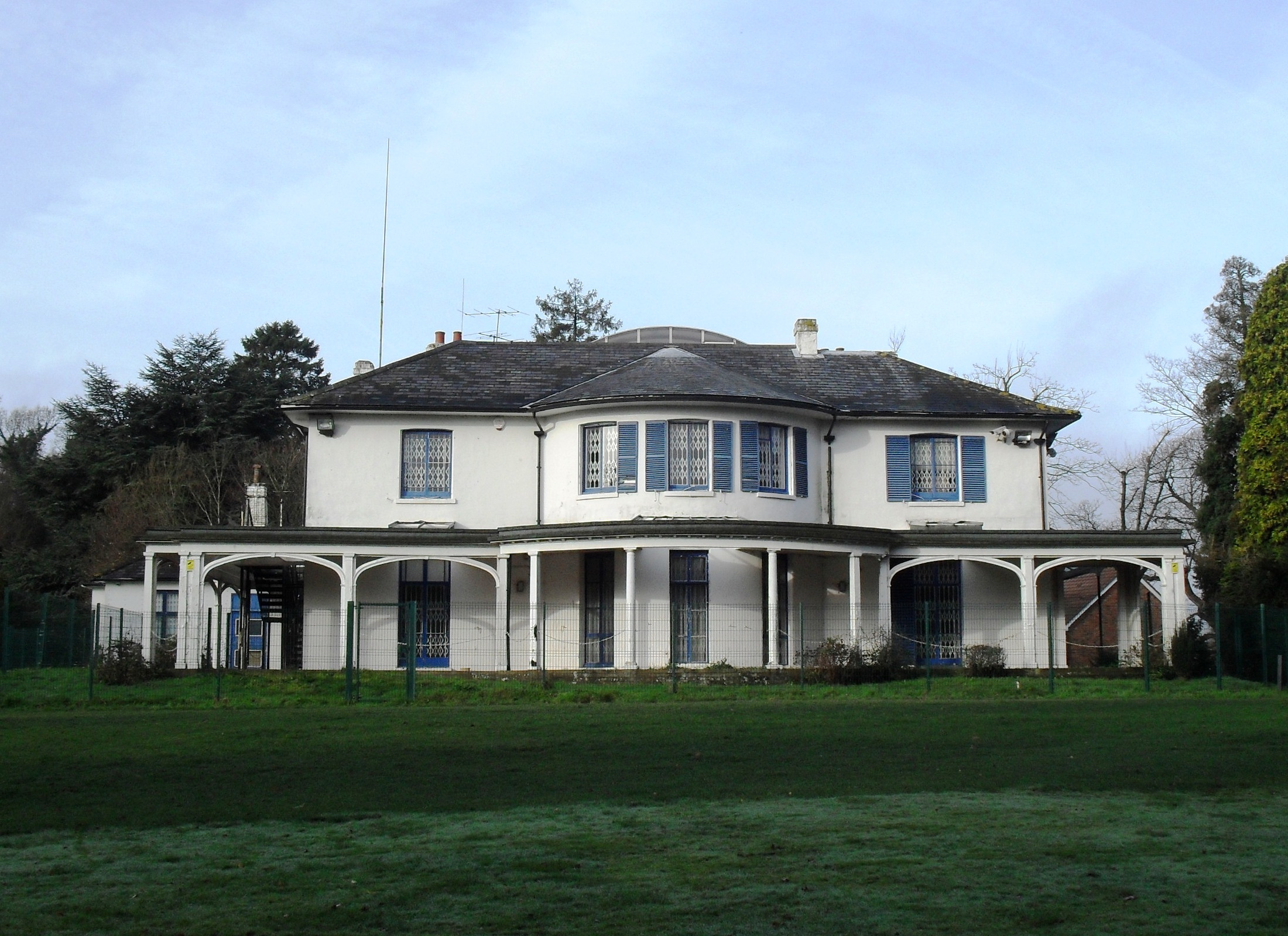
Broadfield House, Crawley
Broadfield House is a 19th-century villa-style house in the Broadfield neighbourhood of Crawley, a town and borough in West Sussex, England. Built in 1830...
Nearby Amenities
Located within 500m of 51.087126,-0.18522672Have you been to Cherrytree Plantation?
Leave your review of Cherrytree Plantation below (or comments, questions and feedback).