Tilgate Forest
Wood, Forest in Sussex Mid Sussex
England
Tilgate Forest

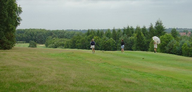
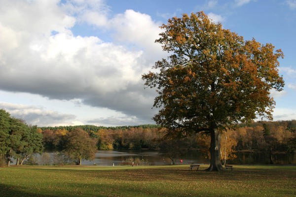
Tilgate Forest is a sprawling woodland located in Sussex, England. Covering an area of approximately 400 acres, it is a popular destination for nature lovers and outdoor enthusiasts alike. The forest is part of the wider Tilgate Park, which also includes a lake, gardens, and a nature reserve.
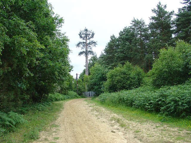
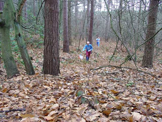
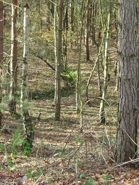
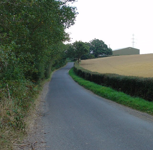
The woodland is predominantly made up of a diverse range of tree species, including oak, beech, pine, and birch. These trees create a dense canopy, providing shade and shelter for a variety of wildlife. Visitors can explore the forest through a network of well-maintained trails, which wind their way through the trees and offer glimpses of the natural beauty that abounds.
Tilgate Forest is home to a rich array of flora and fauna. In spring, the forest floor becomes a carpet of bluebells, creating a breathtaking sight. Birdwatchers can observe species such as woodpeckers, nuthatches, and tawny owls, while lucky visitors may even spot deer and foxes roaming freely in their natural habitat.
The forest also boasts several recreational facilities for visitors. There are picnic areas, where families can enjoy a meal surrounded by the tranquil setting. Additionally, there is an adventure playground for children, offering opportunities for fun and exploration.
Overall, Tilgate Forest offers a peaceful and picturesque setting, making it an ideal destination for those seeking solace in nature or looking to engage in outdoor activities. With its diverse wildlife and stunning scenery, it continues to captivate the hearts of visitors from near and far.
If you have any feedback on the listing, please let us know in the comments section below.
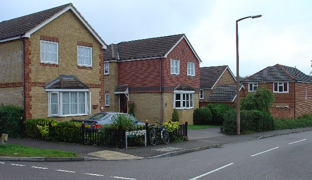
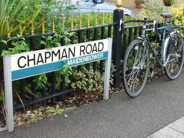
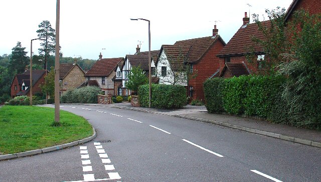
Tilgate Forest Images
Images are sourced within 2km of 51.085247/-0.17947465 or Grid Reference TQ2733. Thanks to Geograph Open Source API. All images are credited.
Tilgate Forest is located at Grid Ref: TQ2733 (Lat: 51.085247, Lng: -0.17947465)
Administrative County: West Sussex
District: Mid Sussex
Police Authority: Sussex
What 3 Words
///known.with.topped. Near Broadfield, West Sussex
Nearby Locations
Related Wikis

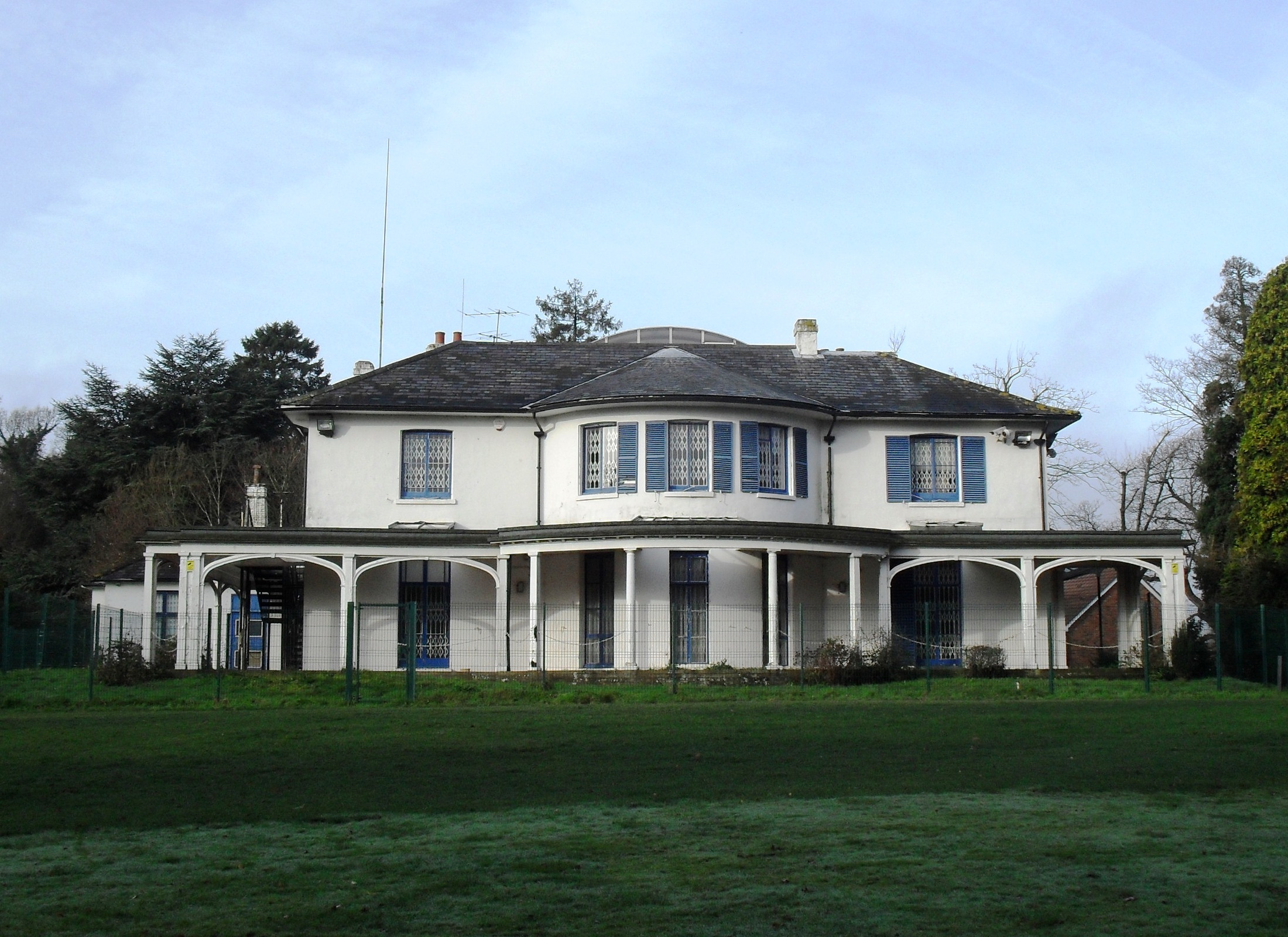
Tilgate Nature Centre
Tilgate Nature Centre is a small BIAZA-accredited zoo located within Tilgate Park in Tilgate Forest, South-East Crawley, West Sussex, England. The nature...

Tilgate Park
Tilgate Park is a large recreational park situated south of Tilgate, South-East Crawley. Originally a 2,185-acre (8.84 km2) part of the ancient Worth...

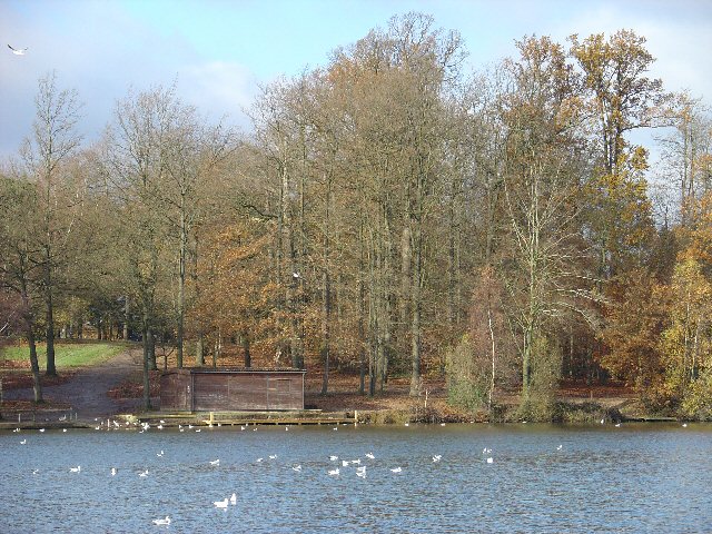
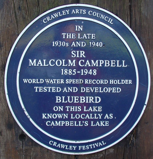
Tilgate Lake
Tilgate Lake is the biggest of three lakes at Tilgate Park, and remains a popular water activity centre and tourist attraction in Crawley, West Sussex...

Pease Pottage MSA
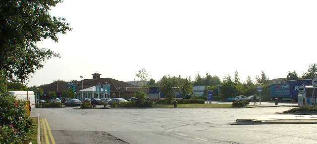
Pease Pottage services is a motorway service station at Junction 11 of the M23 motorway near Crawley. It is owned by Moto. == Facilities == Facilities...

Pease Pottage
Pease Pottage is a village in the Mid Sussex District of West Sussex, England. It lies on the southern edge of the Crawley built-up area, in the civil...

K2 Leisure Centre
K2 is a sports and leisure facility covering 57,194 m2 in Pease Pottage Hill Crawley, UK. == Development == The building belongs to Crawley Borough Council...

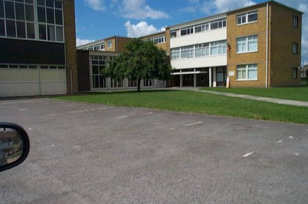
Thomas Bennett Community College
Thomas Bennett Community College (TBCC) is a secondary school with academy status for pupils aged 11 to 19. It caters to approximately 1200 pupils in Years...
Discovery New School
Discovery New School was a co-educational Montessori free school for pupils aged 4 to 10 located in Crawley, West Sussex. The school opened in September...
Nearby Amenities
Located within 500m of 51.085247,-0.17947465Have you been to Tilgate Forest?
Leave your review of Tilgate Forest below (or comments, questions and feedback).