Slates Wood

Wood, Forest in Lincolnshire East Lindsey

England

Slates Wood

Interior, St Martin's church, Welton le Wold Looking east up the nave.
Interior, St Martin's church, Welton le Wold Credit: Julian P Guffogg

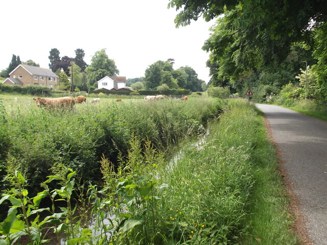
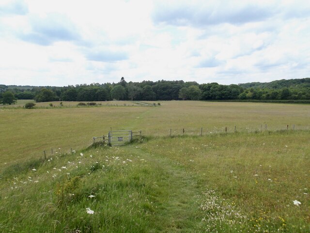
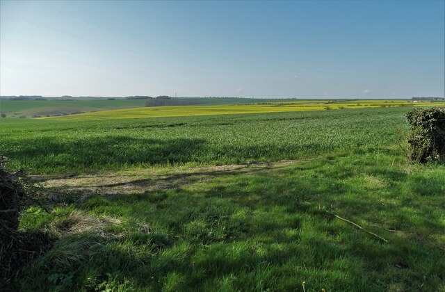
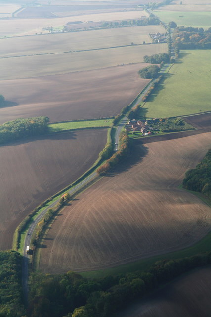
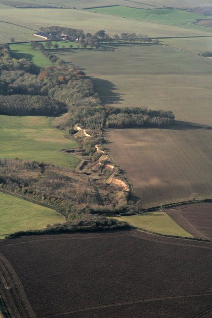
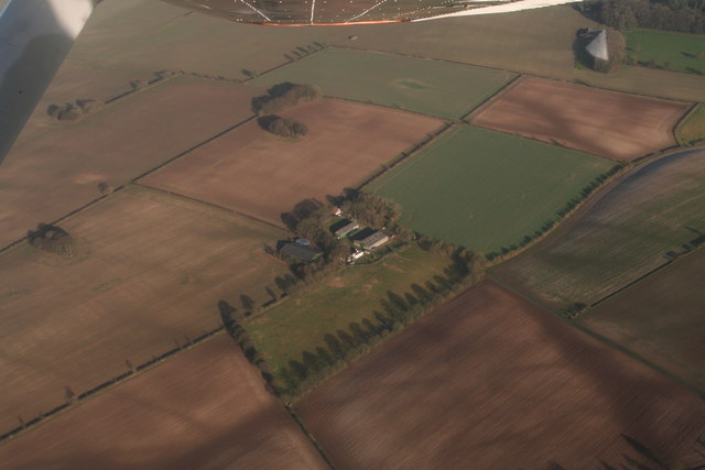
Slates Wood is a picturesque woodland located in Lincolnshire, England. This enchanting forest spans over a sprawling area and is a haven for nature lovers and outdoor enthusiasts alike. The wood is situated near the village of Slates, giving it its name.

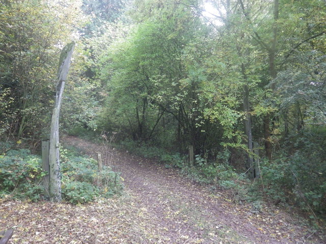
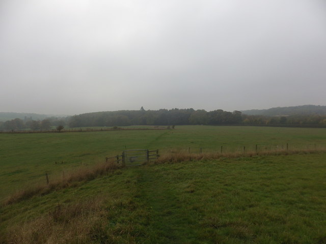
The woodland boasts a diverse range of trees, including oak, beech, and birch, which provide a stunning backdrop throughout the seasons. In the spring, the forest comes alive with a vibrant display of colorful wildflowers, creating a picturesque scene. Visitors can enjoy leisurely walks along the well-maintained trails, immersing themselves in the tranquil ambiance of the wood.

For wildlife enthusiasts, Slates Wood is a haven for a variety of species. The forest provides a rich habitat for numerous birds, including woodpeckers, owls, and songbirds. Additionally, the wood is home to small mammals such as squirrels, hedgehogs, and foxes, which can often be spotted during early morning or evening walks.

The wood is well-equipped for visitors, with ample parking facilities and picnic areas available. There are also information boards dotted around the trails, providing insight into the history and ecology of the woodland. Slates Wood is a popular destination for families, offering a safe and enjoyable environment for children to explore and discover nature.

Overall, Slates Wood in Lincolnshire is a hidden gem, offering a peaceful retreat from the bustling city life. Its natural beauty, diverse flora and fauna, and well-maintained facilities make it a must-visit destination for anyone seeking a serene woodland experience.

If you have any feedback on the listing, please let us know in the comments section below.
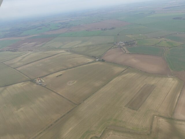
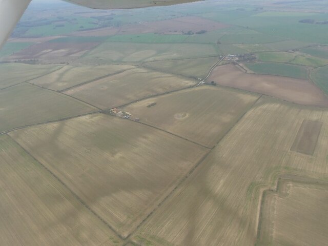
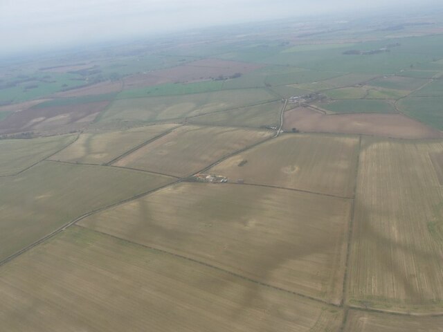
Slates Wood Images

Images are sourced within 2km of 53.376632/-0.089638808 or Grid Reference TF2788. Thanks to Geograph Open Source API. All images are credited.

Interior, St Martin's church, Welton le Wold Looking east up the nave.
Interior, St Martin's church, Welton le Wold
Looking east up the nave.
St Martin's church, Welton le Wold A view from the north west. The tower is the oldest part.
St Martin's church, Welton le Wold
A view from the north west. The tower is the oldest part.
East window, St Martin's church, Welton le Wold The window is in memory of Edmund Lawson Hughes, died 1848 aged 11 when thrown from a horse. He was the only child of Rev. Edward W. Hughes.
East window, St Martin's church, Welton le Wold
The window is in memory of Edmund Lawson Hughes, died 1848 aged 11 when thrown from a horse. He was the only child of Rev. Edward W. Hughes.
Font, St Martin's church, Welton le Wold The font is medieval, but the cover is obviously a later addition.
Font, St Martin's church, Welton le Wold
The font is medieval, but the cover is obviously a later addition.
Storage and looking towards the Jubilee Plantation
Field at Welton le Wold
Westward view from the nature reserve
Welton le Wold: aerial 2023 (1)
Welton le Wold: aerial 2023 (2)
Soilmarks near Poke Holes: aerial (1)
Soilmarks near Poke Holes: aerial (2)
Soilmarks near Poke Holes: aerial (3)
View South from the A157 near Welton-le-Wold
A157approaching Welton le Wold from Louth: aerial 2015 Bunkers farm centre.
A157approaching Welton le Wold from Louth: aerial 2015
Bunkers farm centre.
Whalebone Arc, Welton Vale In a poor state of repair. Once the main entrance to South Elkington Hall.
Whalebone Arc, Welton Vale
In a poor state of repair. Once the main entrance to South Elkington Hall.
Footpath to South of Welton le Wold Quarry Quarry belongs to Lincolnshire Wildlife Trust:
<span class="nowrap"><a title="http://www.lincstrust.org.uk/reserves/Welton-le-Wold" rel="nofollow ugc noopener" href="http://www.lincstrust.org.uk/reserves/Welton-le-Wold">Link</a><img style="margin-left:2px;" alt="External link" title="External link - shift click to open in new window" src="https://s1.geograph.org.uk/img/external.png" width="10" height="10"/></span>
Footpath to South of Welton le Wold Quarry
Quarry belongs to Lincolnshire Wildlife Trust: LinkExternal link
Welton le Wold quarry: aerial 2016 The site is a SSSI.

Western quarry. The quarry face continues across the road to the SE.

For information on geology and archaeology of these important sites see: <span class="nowrap"><a title="https://www.thecollectionmuseum.com/visiting-us/exhibit/welton-le-wold-stone-axes," rel="nofollow ugc noopener" href="https://www.thecollectionmuseum.com/visiting-us/exhibit/welton-le-wold-stone-axes,">Link</a><img style="margin-left:2px;" alt="External link" title="External link - shift click to open in new window" src="https://s1.geograph.org.uk/img/external.png" width="10" height="10"/></span> <span class="nowrap"><a title="https://www.caitlingreen.org/2014/08/the-welton-le-wold-handaxes-earliest.html" rel="nofollow ugc noopener" href="https://www.caitlingreen.org/2014/08/the-welton-le-wold-handaxes-earliest.html">Link</a><img style="margin-left:2px;" alt="External link" title="External link - shift click to open in new window" src="https://s1.geograph.org.uk/img/external.png" width="10" height="10"/></span> and <span class="nowrap"><a title="https://www.lincstrust.org.uk/nature-reserves/welton-le-wold" rel="nofollow ugc noopener" href="https://www.lincstrust.org.uk/nature-reserves/welton-le-wold">Link</a><img style="margin-left:2px;" alt="External link" title="External link - shift click to open in new window" src="https://s1.geograph.org.uk/img/external.png" width="10" height="10"/></span>
Welton le Wold quarry: aerial 2016
The site is a SSSI. Western quarry. The quarry face continues across the road to the SE. For information on geology and archaeology of these important sites see: LinkExternal link LinkExternal link and LinkExternal link
Welton le Wold: aerial 2017 Manor Warren Farm.
Welton le Wold: aerial 2017
Manor Warren Farm.
Show me another place!

Slates Wood is located at Grid Ref: TF2788 (Lat: 53.376632, Lng: -0.089638808)

Administrative County: Lincolnshire

District: East Lindsey

Police Authority: Lincolnshire

What 3 Words

///germinate.summit.jots. Near Louth, Lincolnshire

Nearby Locations

Slates Wood

Related Wikis

Welton Le Wold

Welton le Wold is a village and civil parish in the East Lindsey district of Lincolnshire, England. It is situated approximately 4 miles (6 km) west of...

Calcethorpe with Kelstern

Calcethorpe with Kelstern is a civil parish in the East Lindsey district of Lincolnshire, England. It is situated west from the market town of Louth, and...

Calcethorpe

Calcethorpe is a hamlet and deserted medieval village (DMV), in the East Lindsey district of Lincolnshire, England. It is situated approximately 5 miles...

Kelstern

Kelstern is a village and former civil parish, now in the parish of Calcethorpe with Kelstern, in the East Lindsey district of Lincolnshire, England. In...

Lincolnshire Wolds

The Lincolnshire Wolds are a range of low hills in the county of Lincolnshire, England which run roughly parallel with the North Sea coast, from the Humber...

Acthorpe

Acthorpe is a hamlet in the East Lindsey district of Lincolnshire, England. It is situated approximately 2 miles (3 km) north-west from the town of Louth...

Grimblethorpe

Grimblethorpe is a hamlet in the East Lindsey district of Lincolnshire, England. It is situated 6 miles (10 km) west from Louth and just north of the village...

RAF Kelstern

Royal Air Force Kelstern or RAF Kelstern is a former Royal Air Force station 3.6 miles (5.8 km) south east of Binbrook, Lincolnshire and 4.9 miles (7...

Nearby Amenities

Located within 500m of 53.376632,-0.089638808
Grange Farm
Alt Name: Manor Farm
Place: farm
Source: Bing
Lat/Long: 53.3785503/-0.095313
The data included in this document is from www.openstreetmap.org. The data is made available under ODbL.

Have you been to Slates Wood?

Leave your review of Slates Wood below (or comments, questions and feedback).