Gorse Covert
Wood, Forest in Lincolnshire East Lindsey
England
Gorse Covert
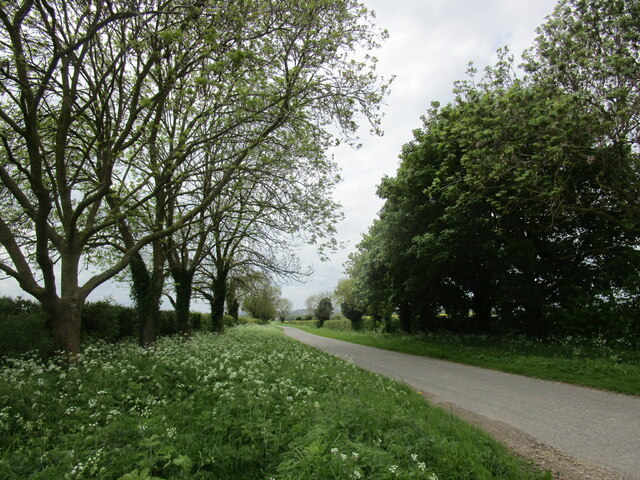
Gorse Covert, located in Lincolnshire, is a picturesque wood and forest area that spans across approximately 100 acres of land. Nestled within the beautiful countryside of England, this woodland is a popular destination for nature lovers and outdoor enthusiasts.
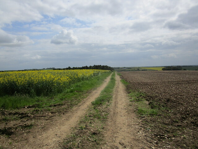
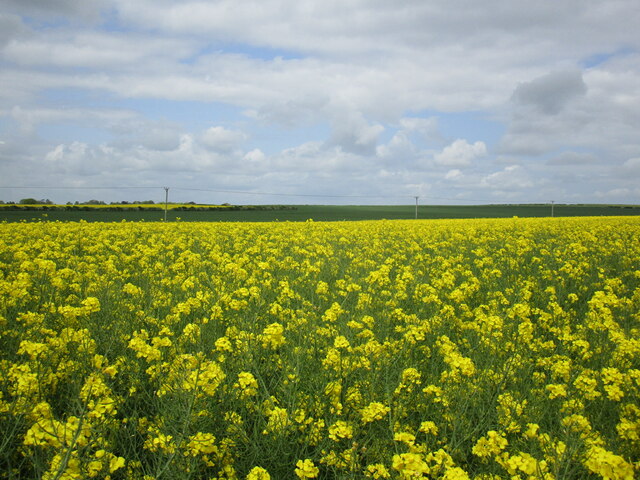
The name Gorse Covert is derived from the presence of gorse bushes, which can be found in abundance throughout the area. These vibrant yellow flowers provide a stunning contrast against the lush greenery of the surrounding trees and vegetation.
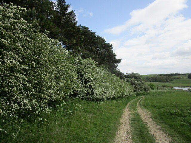
The woodland is home to a diverse range of flora and fauna, offering a haven for wildlife. Visitors can expect to encounter various species of birds, including woodpeckers, owls, and songbirds, as well as small mammals such as rabbits and squirrels.
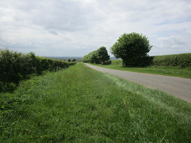
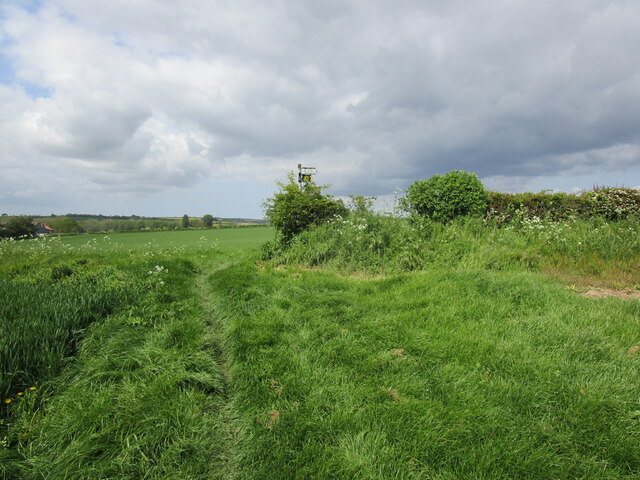
A network of well-maintained walking trails allows visitors to explore the woodland at their own pace. These trails wind through the forest, offering breathtaking views of the surrounding landscape and providing an opportunity to immerse oneself in the beauty of nature. One can also find picnic areas and benches dotted along the trails, providing a perfect spot to rest and enjoy the serene surroundings.
Gorse Covert is not only a natural wonder but also an important ecological site. The wood is managed by local conservation organizations to ensure the preservation of its diverse ecosystem. Efforts are made to control invasive species and maintain the health of the woodland, allowing visitors to continue enjoying its beauty for years to come.
In conclusion, Gorse Covert in Lincolnshire is a captivating wood and forest area that offers a tranquil escape from the hustle and bustle of daily life. With its stunning flora and fauna, well-maintained trails, and commitment to conservation, it is a must-visit destination for nature enthusiasts and those seeking a peaceful retreat in the heart of England.
If you have any feedback on the listing, please let us know in the comments section below.
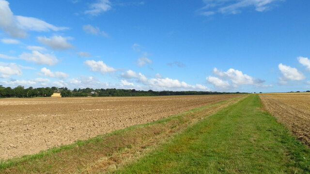
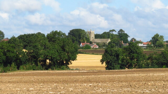
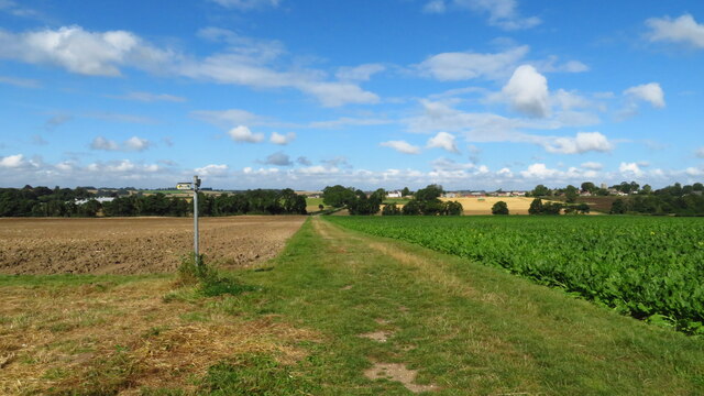
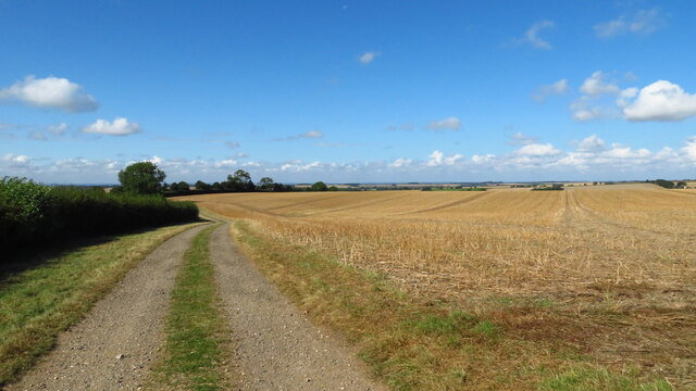
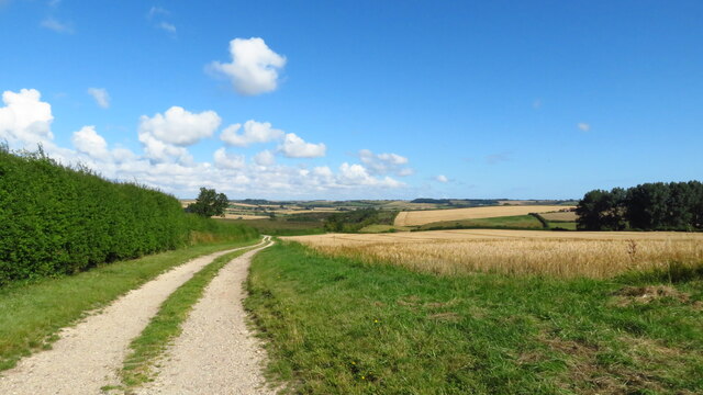
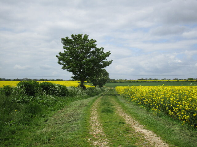
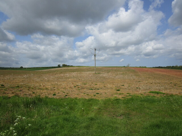
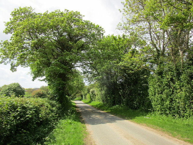
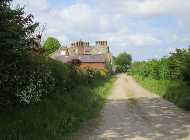
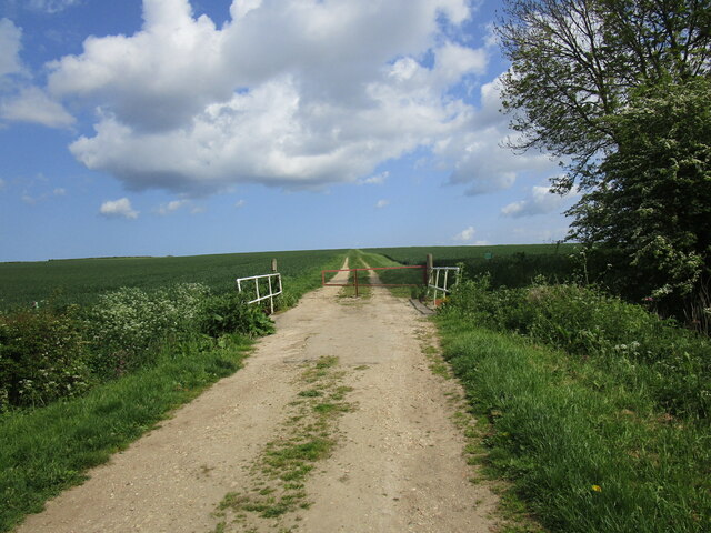
Gorse Covert Images
Images are sourced within 2km of 53.236315/-0.08855056 or Grid Reference TF2772. Thanks to Geograph Open Source API. All images are credited.
Gorse Covert is located at Grid Ref: TF2772 (Lat: 53.236315, Lng: -0.08855056)
Administrative County: Lincolnshire
District: East Lindsey
Police Authority: Lincolnshire
What 3 Words
///overheard.doctor.parading. Near Horncastle, Lincolnshire
Nearby Locations
Related Wikis

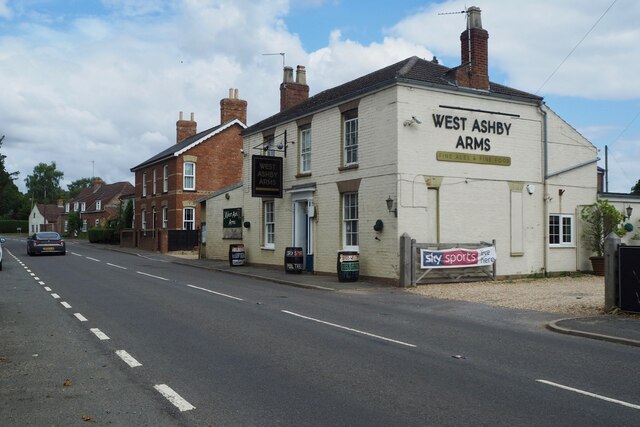
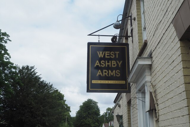
West Ashby
West Ashby is a village and civil parish in the East Lindsey district of Lincolnshire, England. It is situated on the Horncastle to Louth A153 road, and...

Low Toynton
Low Toynton is a hamlet and civil parish in the East Lindsey district of Lincolnshire, England. The population of the civil parish (including Fulletby...

Fulletby
Fulletby is a village and a civil parish in the East Lindsey district of Lincolnshire, England. It is in the Lincolnshire Wolds, and 3 miles (5 km) north...

High Toynton
High Toynton is a village and civil parish in the East Lindsey district of Lincolnshire, England. It is situated approximately 1.5 miles (2.4 km) east...

East Lindsey
East Lindsey is a local government district in Lincolnshire, England. Its council is based in Horncastle and the largest town is Skegness. Other towns...

Belchford
Belchford is a village and civil parish in the East Lindsey district of Lincolnshire, England. The village is situated approximately 4 miles (6 km) north...

A158 road
The A158 road is a major route that heads from Lincoln in the west to Skegness on the east coast. The road is located entirely in the county of Lincolnshire...

Horncastle
Horncastle is a market town and civil parish in the East Lindsey district in Lincolnshire, England. It is 17 miles (27 km) east of Lincoln. Its population...
Nearby Amenities
Located within 500m of 53.236315,-0.08855056Have you been to Gorse Covert?
Leave your review of Gorse Covert below (or comments, questions and feedback).